A Spectacular 12-Mile Loop at Prairie Creek State Park
✍️ • 🕑 • Series: Califorests & Shoregon • Tags: redwoods • ferns • beaches • hiking in the dark • State/Provincial Parks • Pacific Ocean • California • California • Places: Prairie Creek State Park
After a disappointing and dull overnight hike, I had no choice but to treat myself to a ridiculously scenic, gorgeous, entertaining, and lovely hike.
Well, after I stopped in Eureka for a fine cup of drip coffee, I mean…
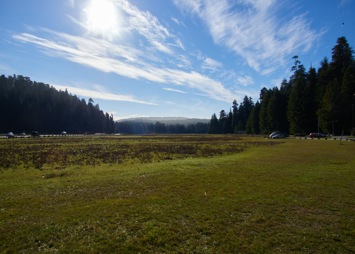
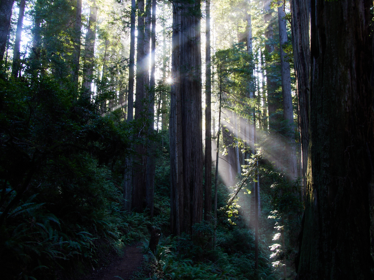
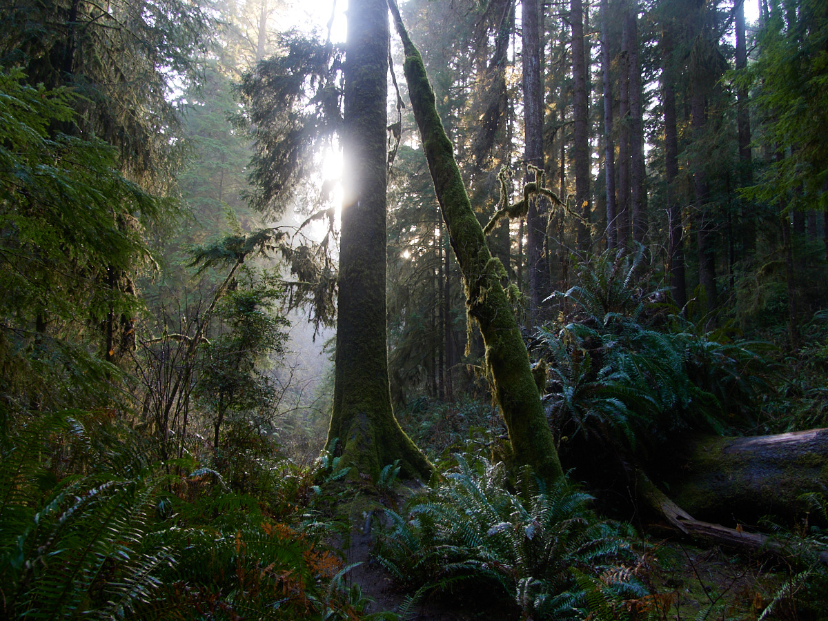
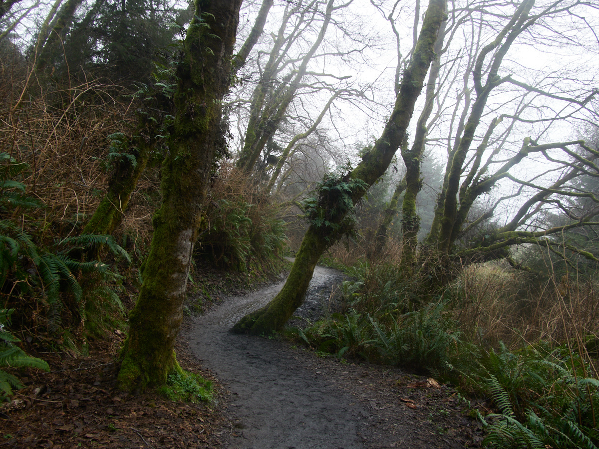
The 12-mile loop at Prairie Creek State Park was my favorite hike that I did on this trip. It traverses forests, canyons, rushing water, and beaches, and is full of natural, gorgeous beauty at all angles.
I started on the James Irvine Trail, connecting with the Miner’s Ridge Trail via fern canyon and the beach.
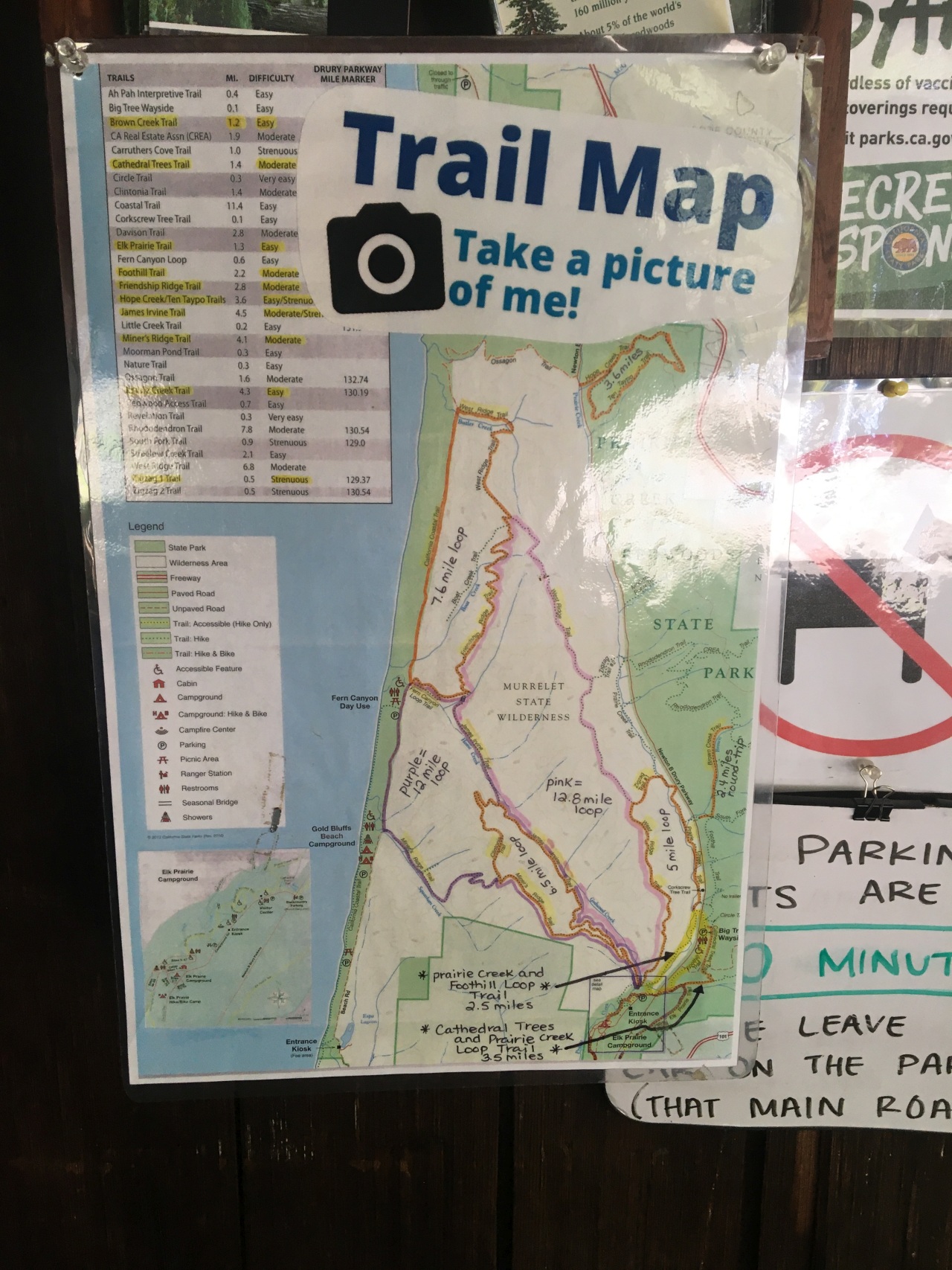
| Trail Information | ||
|---|---|---|
| Name | James Irvine & Miner's Ridge Loop | |
| Type | loop | |
| Location | Prairie Creek State Park | |
| State | CA | |
| Country | USA | |
| Miles | 12 | |
| Check out the trails index for information on more trails! | ||
I absolutely loved this hike.
What I didn’t love was that I had already done five miles or so of walking before I got to the trailhead, and that I got there fairly late in the day. I really would have loved having more time to take in the views and take my time, and to have felt a bit more fresh while doing it.
But, I figured I was well-equipped to head off anyway. The trails were popular and well-marked, and the bottom end of the trail, i.e. where I expected to be around sunset was a beach with a nearby road.
If things were too late and too treacherous, I could try thumbing a lift, or proceeding back via roadways. I mean there were lots of people around.
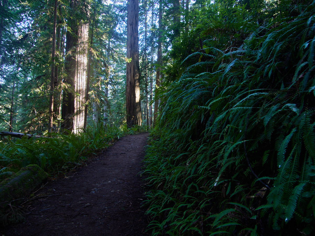
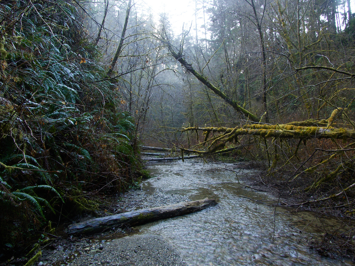
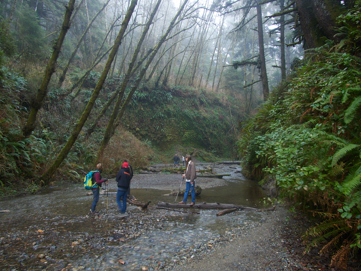
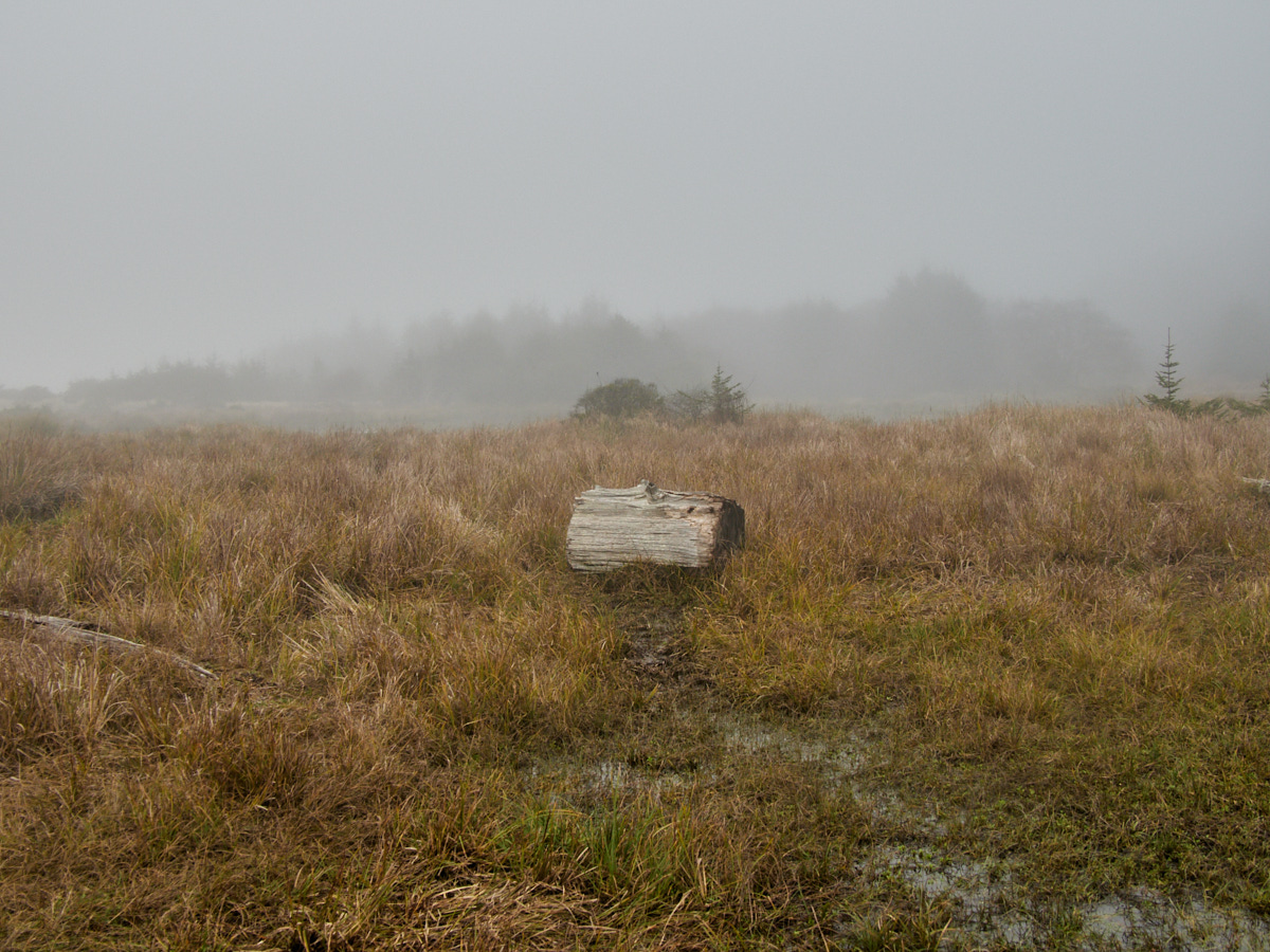
Take for example this “fern canyon” area, popular with the Instagram set, and quite popular when I was walking through near the end of the day.
This was a good place to wash my muddy feet, and an area that would have been nice to explore more, just so I could suss whether I was right in calling it “overrated.” 😉
Alas, I moved towards the parking lot, and onto the beach, which I hoped would be passable.
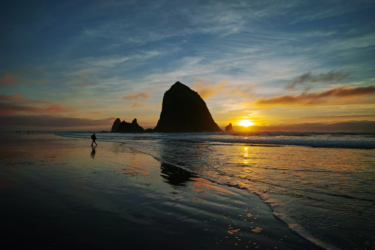
I had hoped for some nice beach sunset time, but alas, I couldn’t even see the sun through the fog. Just footprints of those who came before me…
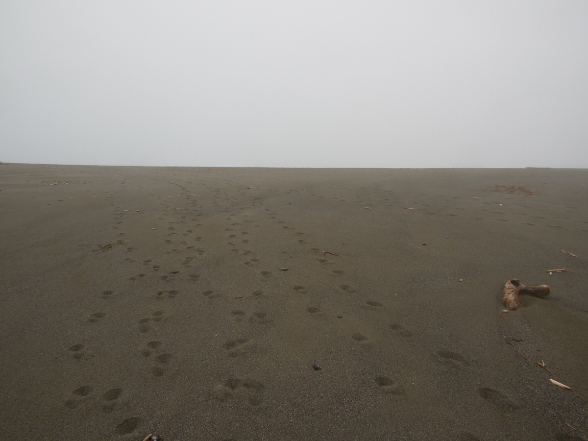
I navigated around most of the large pools of water, left behind from high tides, and stuck relatively closely to the shoulder so that I could hopefully tell when the time would come to exit the beach and connect with the Miner’s Ridge Trail.
Fortunately, the campground was easy to spot, and I meandered through, took a bathroom break, and considered my options.
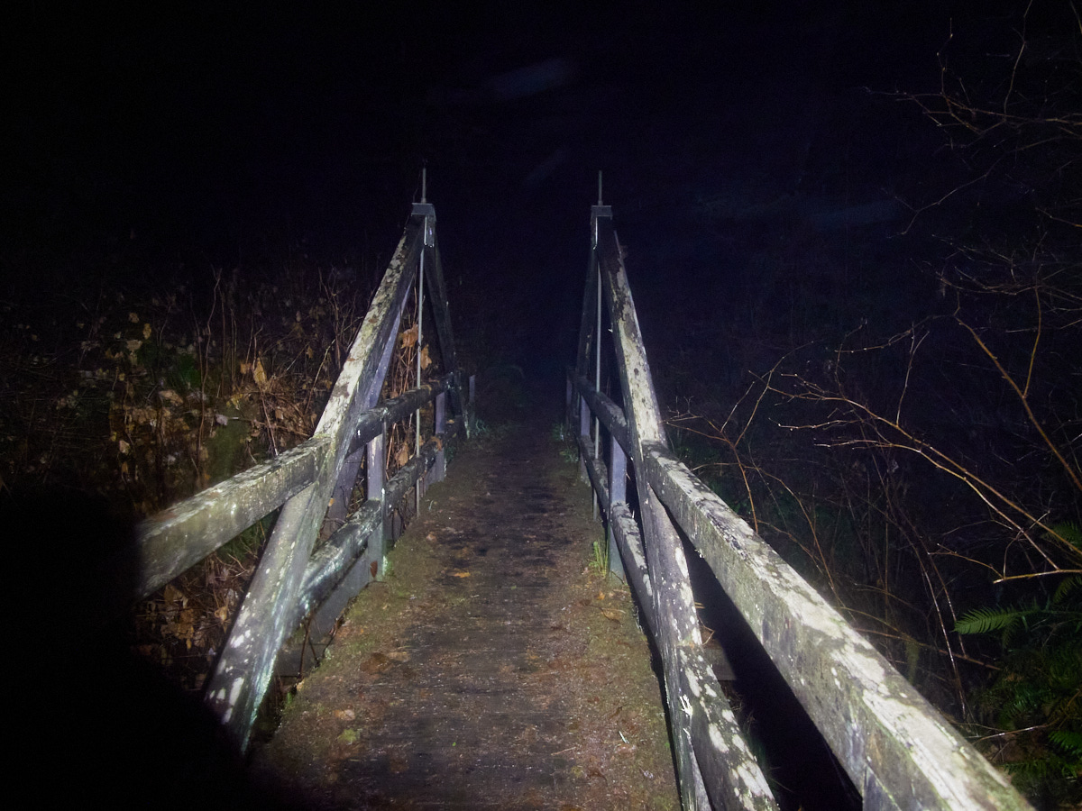
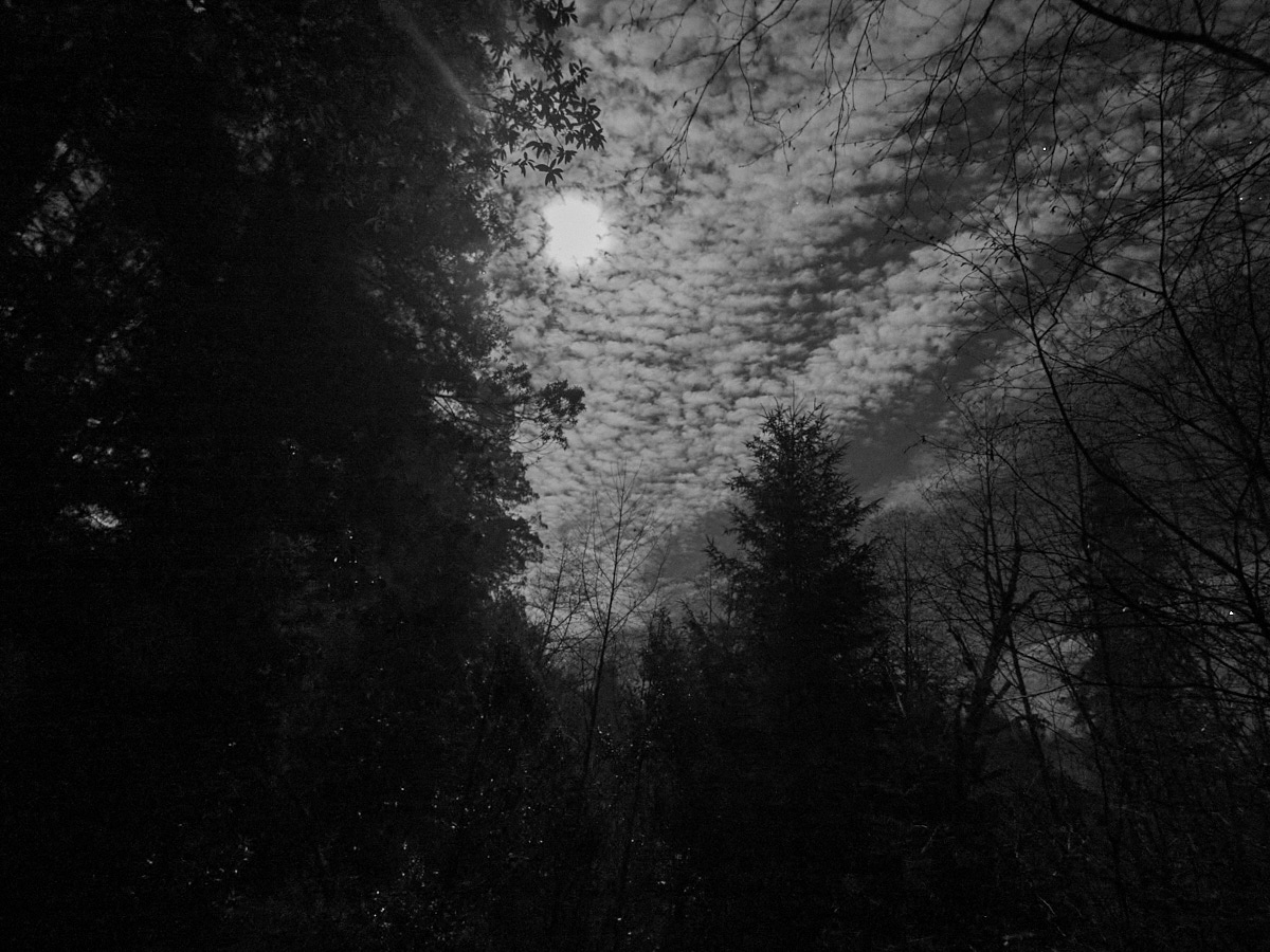
Night was falling, but the moon was bright and I felt energetic and ready to continue.
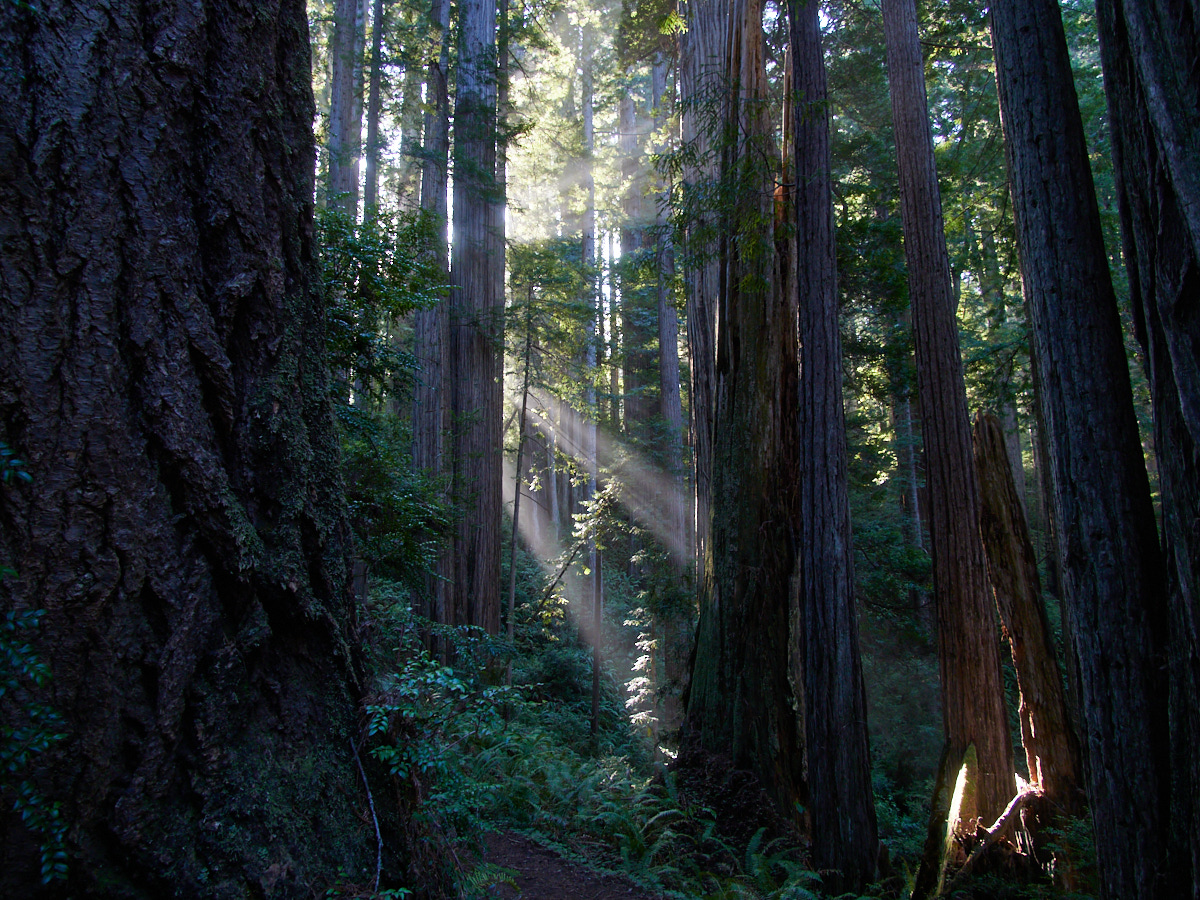
Not long before this hike, I had done a hike long past dusk somewhere around Issaquah with a friend, and found it to be… actually not unpleasant.
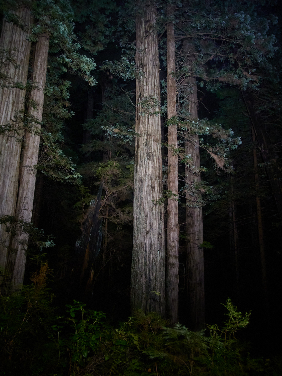
On that date, the moonlight was enough to do most of the work of illuminating the trail. However, once I entered the forest, it was clear to me that I was under the cover of pitch black darkness.
But, it was also clear to me that I had done well to upgrade my headlamp to a brighter one. (Poor illumination in lava caves will convince ya to do that!)
My headlamp was roughly equivalent to a 180 watt incandescent lightbulb, and it lit the way forward beautifully and reliably for the rest of my hike back.
I reduced it to the lowest setting that still gave me a good view of rocks, roots, and mud.
And I figured, why not try and snap a couple of lousy pictures while I was at it. Headlamp illumination FTW?!
As I got towards the end of the trail, I could hear some hikers in the distance behind me. Somehow, I wasn’t the last one to finish.
But, I was finished.
At the nearby Elk Prairie Campground, I pitched my tent, crawled inside, and promptly fell asleep.
This post was part of a series:
Thanks for reading!
If you enjoyed this post, you might enjoy these 5 similar posts:
- 2022-06-09 —Magnificent Morning, Nondescript Night
- 2020-10-16 —The Turtle Trail (French Creek State Park)
- 2022-06-14 —The Boy Scout Tree Trail & Onward to Oregon
- 2022-09-12 —A Great Day at Wells Gray!
- 2022-09-02 —A Taste of Paradise at Mt. Rainier National Park