The Road to Robson
✍️ • 🕑 • Series: Towards the Beautiful Islands • Tags: waterfalls • lakes • rocky mountains • State/Provincial Parks • Wells Gray Provincial Park • Mt. Robson Provincial Park • Places: Green Mountain Overlook • Moul Falls • Triple Decker Falls • Mt. Robson Visitor Center • Lucerne Campground
It was Victoria Day. Canada’s May Long Weekend was drawing to a close, and so too was my exploration of Wells Gray Provincial Park.
Every road into Wells Gray dead ends somewhere, so it was my opportunity to continue reversing my path, southwards from the Pyramid Campground towards the town of Clearwater. Along my route, I’d visit a few scenic spots and waterfalls that I passed up on my drive into town. And, I’d find lighting conditions far more friendly to good waterfall pictures than I had for most of the previous day.
After that, I planned to embark upon one more detour on my way to Haida Gwaii. In Wells Gray Provincial Park, I was looking at the Cariboo Mountains, a subrange of the Columbia Mountains. I was not amongst the more scenic and famous Canadian Rockies, but they were so close by that I couldn’t help but head towards them as well.
So, I was taking my time, enjoying myself, and doing roughly four hours of driving around my stops.
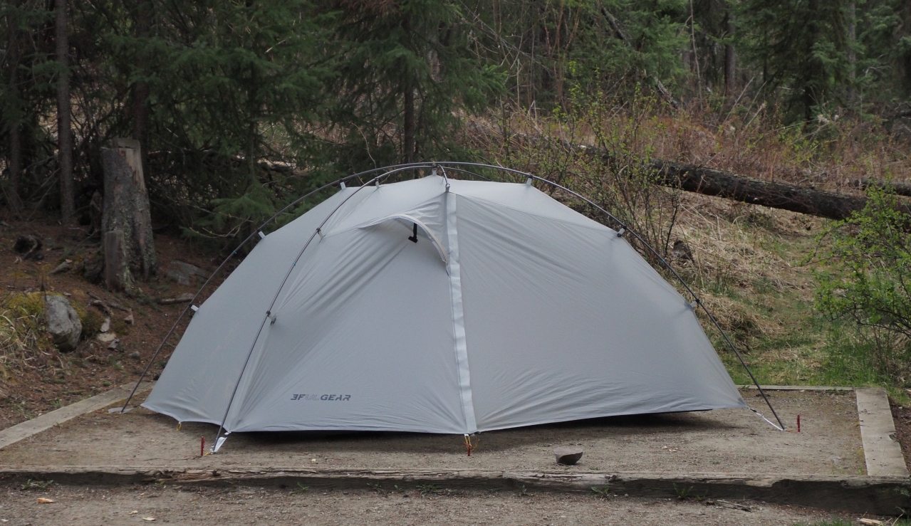
My final destination for the day: the Lucerne Campground at Mt. Robson Provincial Park.
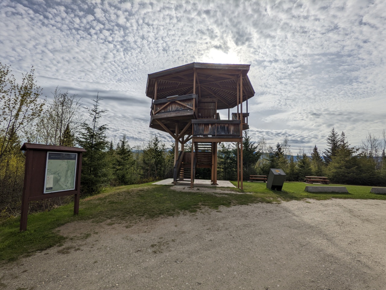
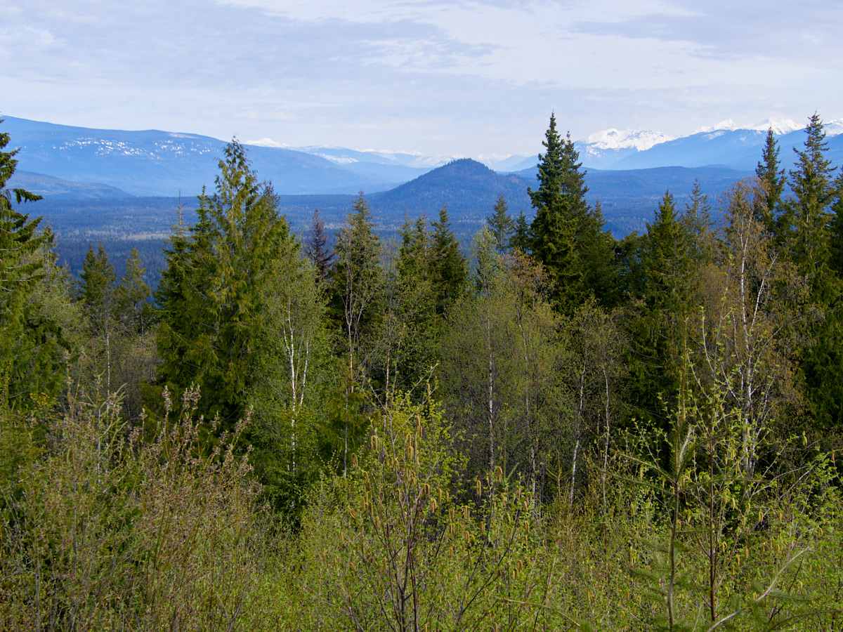
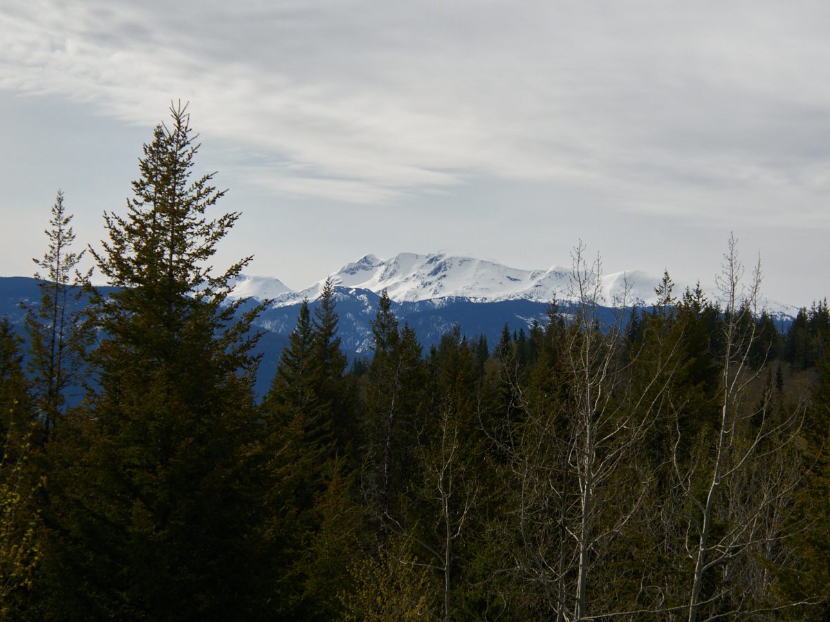
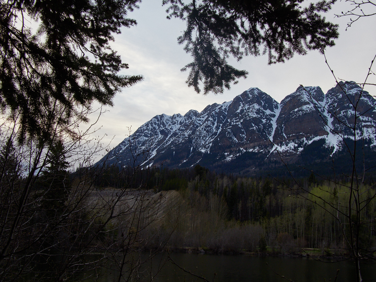
Green Mountain Lookout Tower
My first stop of the day was the Green Mountain Lookout Tower, which is basically just a nice viewpoint constructed on the top of a hill. Predictably, you have to drive a narrow, gravel road to get there.
Wells Gray Provincial Park
Wells Gray is most famous for its waterfalls, 39 of them named. These were formed through volcanic eruptions and glacial activity. See all posts tagged 'Wells Gray Provincial Park'
From there, you can see many of the park’s mountains, and check out some signage to help you understand what you’re looking at.
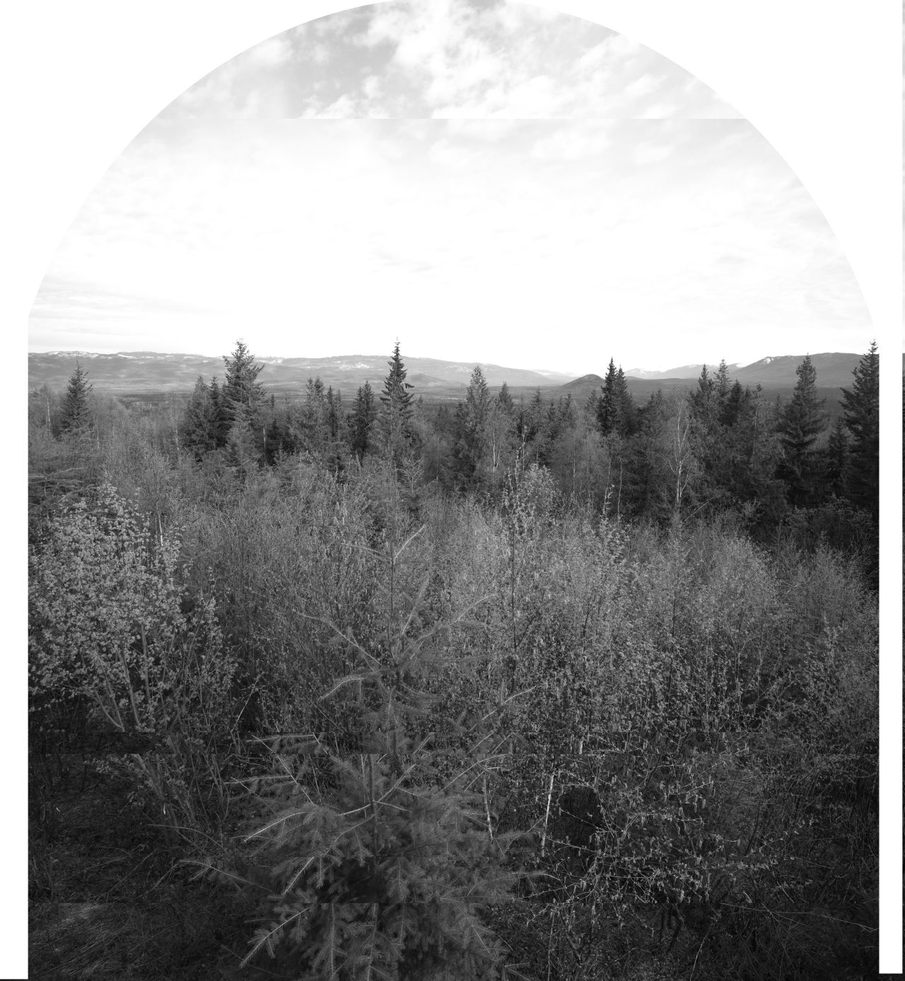
It’s also from here that I took the shots I used for my lazy Baltzy-inspired multi-shot panorama for 52 Frames:
Moul Falls
The trail to Moul Falls is the park’s most popular, and yet, when I hit it, there was only one car in the parking lot besides mine, and they left shortly after I arrived. By some stroke of luck, I once again started out with plenty of solitude.
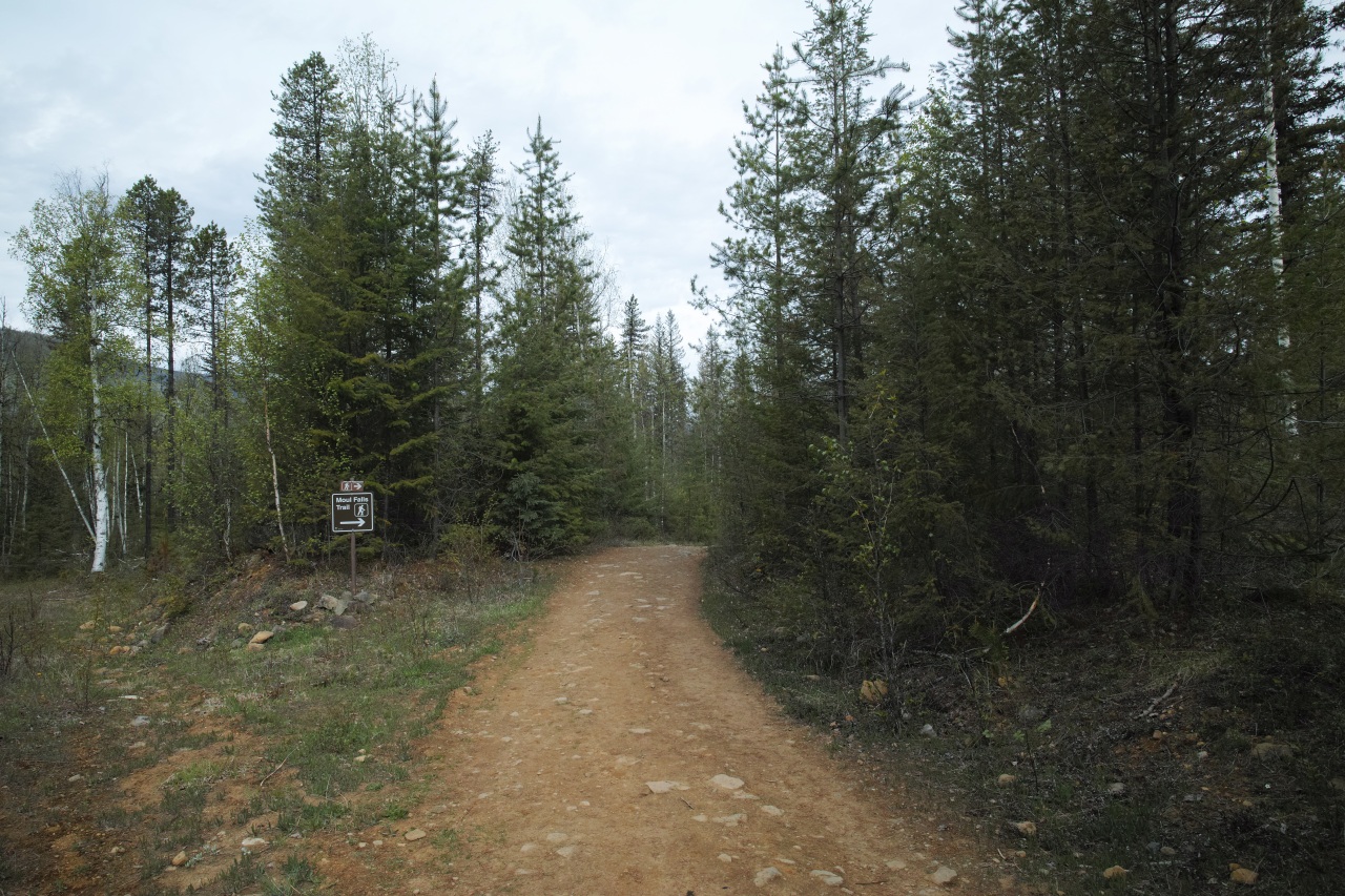
Most of this trail is a standard woodsy walk, though with some paths leading to private property.
| Trail Information | ||
|---|---|---|
| Name | Moul Falls Trail | |
| Miles | 1.8 | |
| Type | out-and-back | |
| Location | Wells Gray Provincial Park | |
| State | BC | |
| Country | Canada | |
| Check out the trails index for information on more trails! | ||
On my way there walking, the only exciting wildlife I saw was a deer in the brush and in the distance. As I zoomed in on my cellphone to snap a photo (I hadn’t brought a trusty superzoom lens along), I thought things looked remarkably passable. About one second after pressing the shutter button, I saw the final, blotchy, overcooked result, and boy does it present a strong argument to me that I would not want to return to cellphone photography.
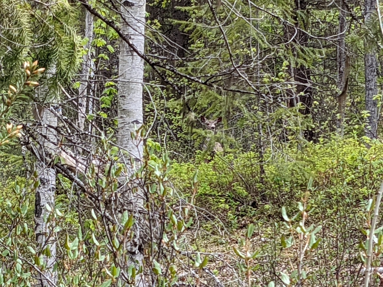
Whatever processes that led to me being stuck with that JPEG, shame on you!
Fortunately, the rest of the walk was very scenic and well-suited to the ultrawide angle lens I had with me:
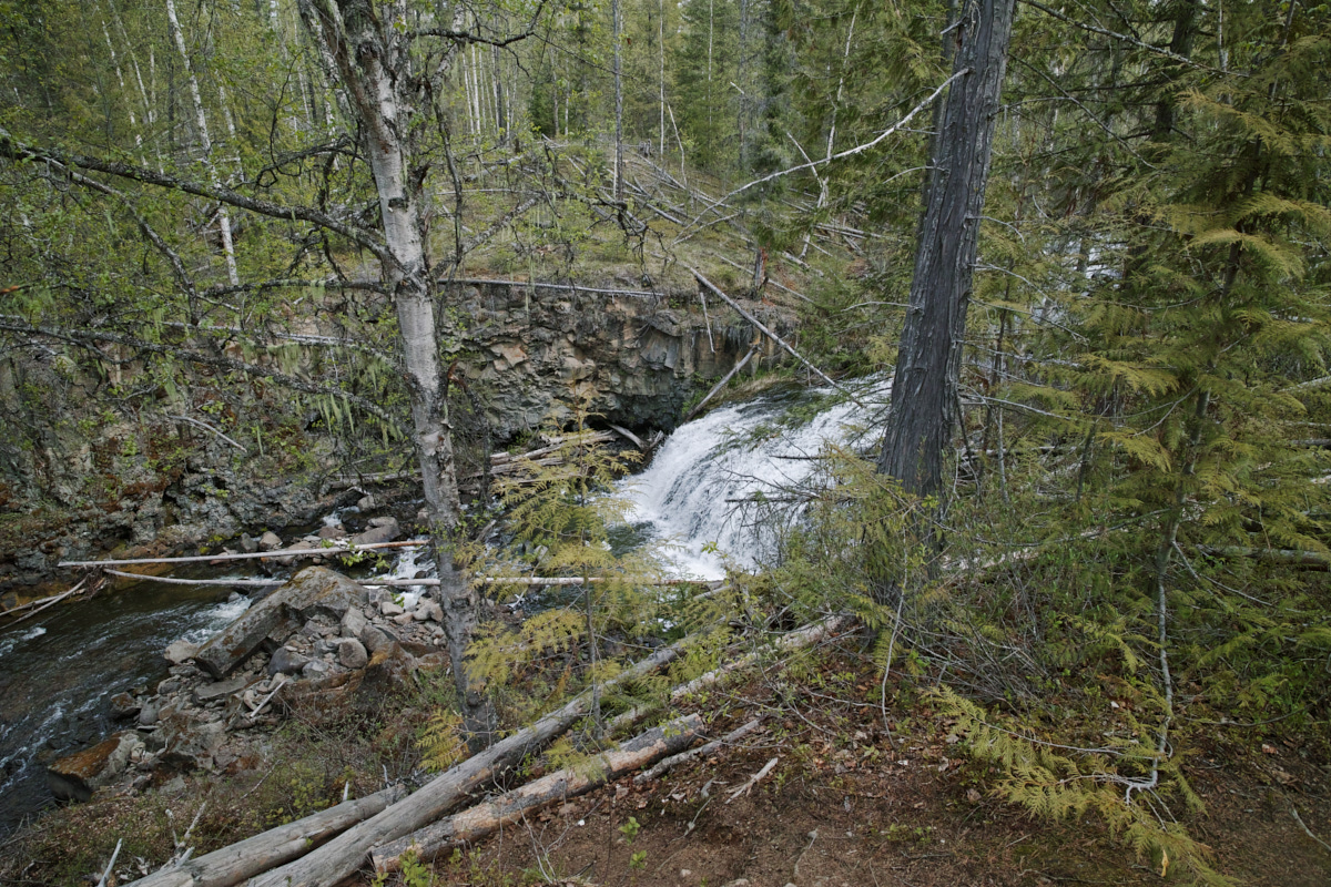
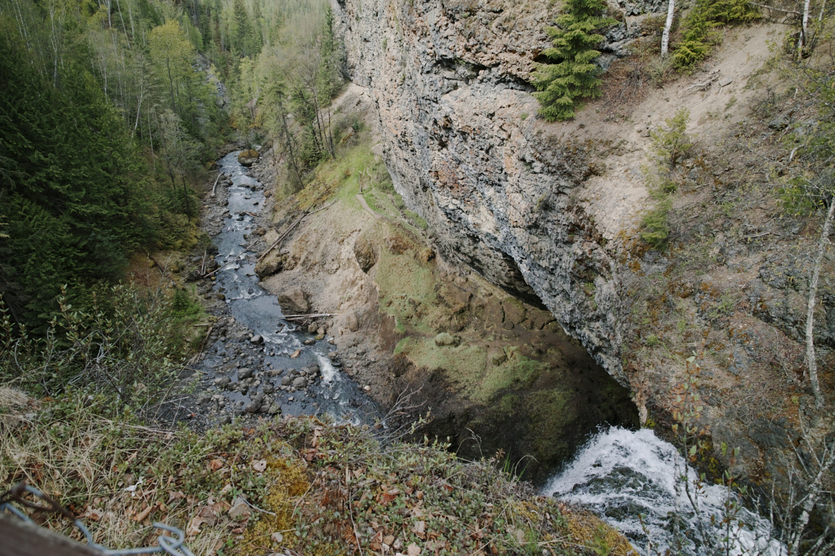
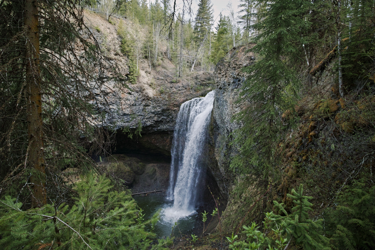
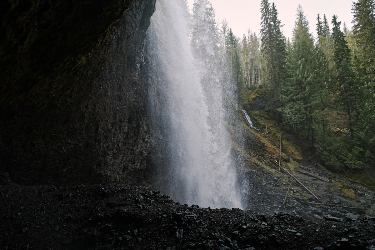
The highlight of Moul Falls is that you can walk underneath & behind the waterfall, which is really fun and a little moist.
So I’m sure what you want right here, right now is another waterfall vlog where I gloat about being alone.
To be fair, I did bump into some people on my way back to the car. I really enjoyed exploring the waterfall solo.
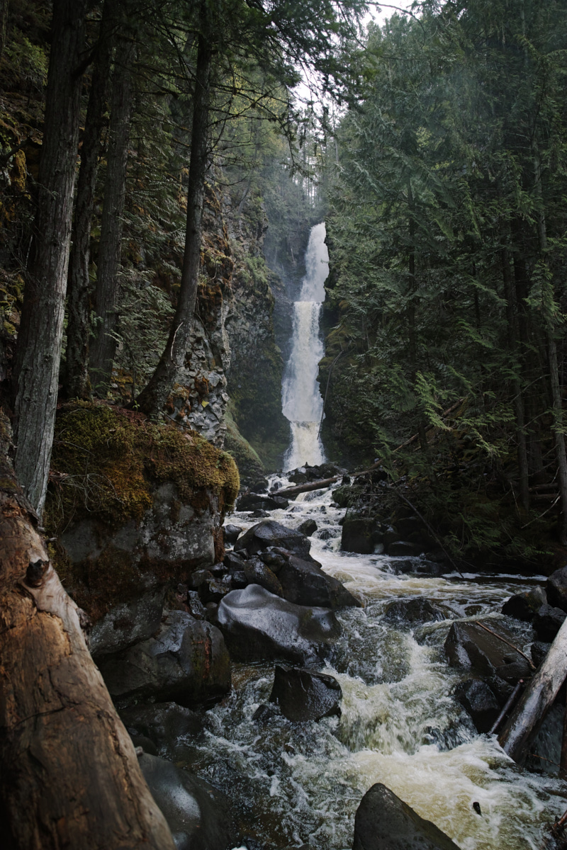
Triple Decker Falls
Triple Decker Falls is outside of the boundaries for Wells Gray Provincial Park. As the name implies, it’s a three-tiered waterfall, and it’s very beautiful. The area is community-maintained and includes a network of hiking trails that run all the way to the town of Clearwater. There is parking, but there are no signs for it.
| Trail Information | ||
|---|---|---|
| Name | Triple Decker Falls Trail | |
| Miles | 0.5 | |
| Type | out-and-back | |
| Location | Clearwater | |
| State | BC | |
| Country | Canada | |
| Check out the trails index for information on more trails! | ||
The trail down to the falls is very steep, and there are walking poles available for visitors to borrow. I would certainly recommend having a vertical support of some kind.
On my way up, I had a lovely chat with a lady and her son, originally from Yellowknife.
Drive to Mt. Robson - splendid, mountain views.
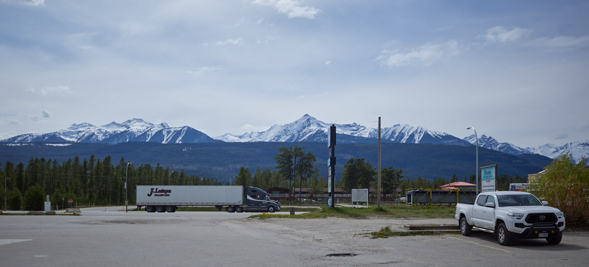
Once I left Clearwater, I had no shortage of mountain views.
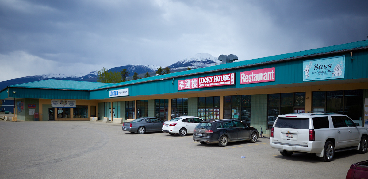
As I skirted the edge of the town of Valemount, I couldn’t help but stop for gas. (I needed it.)
I couldn’t help but juxtapose the strip malls & the mountains, too.
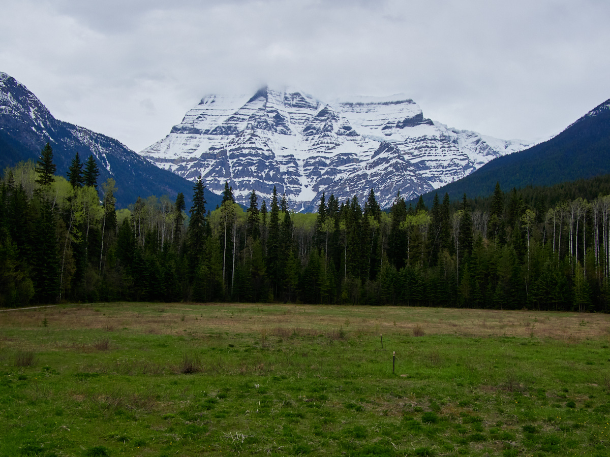
From there, the Mt. Robson Provincial Park Visitor Center was my next stop.
Mt. Robson Provincial Park
Mt. Robson Provincial Park
I stopped in the Visitor’s Center hoping that I could maybe get some information on hiking trails in the immediate area that would be fun and worthwhile and not too strenuous. It’s not like I hadn’t done some research online in advance, but I hadn’t seen any that seemed like they were quite what I was looking for.
It turned out that I was right. But still, I admired the view of Mt. Robson before heading to the Lucerne Campground.
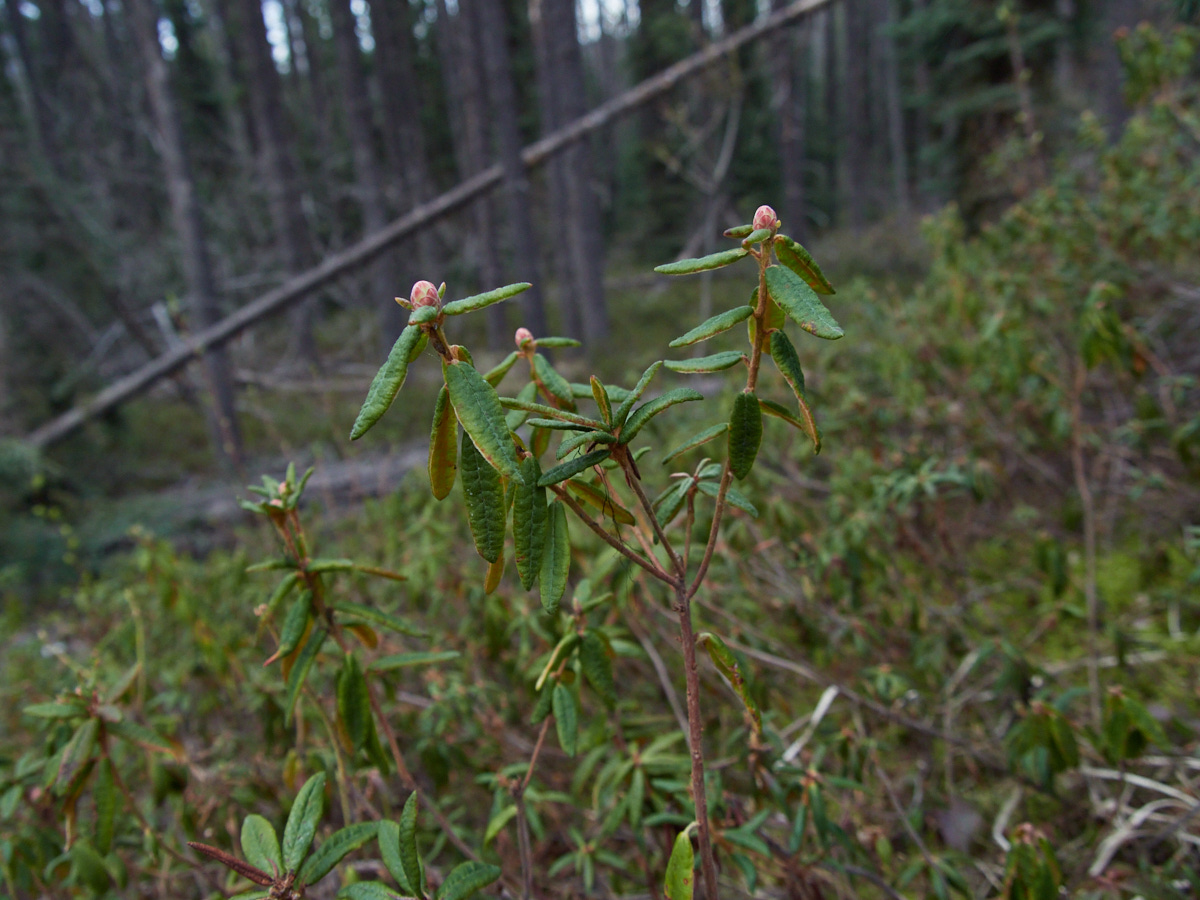
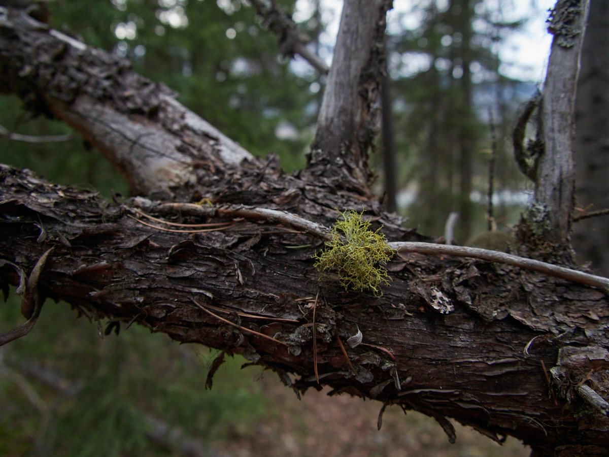
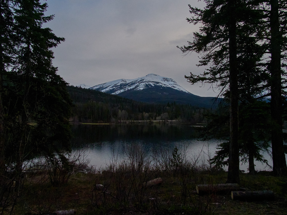
Walk around Campground / “Labrador Tea Trail”
The campground itself boasted one of those “campground trails,” which doesn’t really lead to anywhere in particular, but does give a camper the option of a leg stretch and a scenic walk.
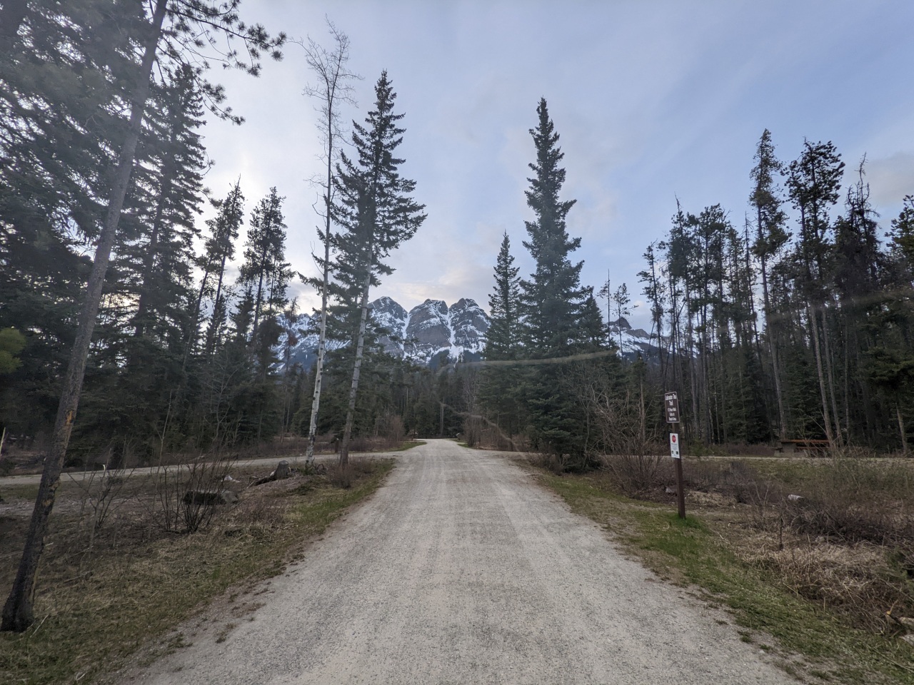
This particular campground trail was called the Labrador Tea Trail, and basically runs to a lakeside beach, which can be more easily and directly accessed by simply walking past the walk-in tent sites.
| Trail Information | ||
|---|---|---|
| Name | Labrador Tea Trail | |
| Miles | 0.5 | |
| Type | loop | |
| Location | Mt. Robson Provincial Park (Lucerne Campground) | |
| State | BC | |
| Country | Canada | |
| Check out the trails index for information on more trails! | ||
Nevertheless, it was a satisfying spot for a short walk.
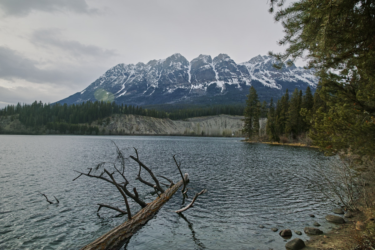
When I reached the lake, I spent a while sitting on this log, letting the cold water lap at my feet, enjoying the numbing feeling.
Somewhere in the back of my mind a voice warned me that some day I could probably get serious frostbite in my feet without noticing if this was the sort of thing I was comfortable with, and I should… keep an eye on my tootsies in the future.
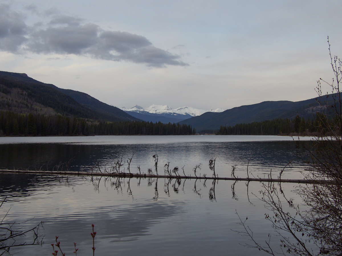
Having enjoyed a lovely lake, lovely views, and a lovely drive, it was time for me to settle into a lovely night’s sleep. The next day, I planned to go deeper into the Rockies.
This post was part of a series:
Thanks for reading!
If you enjoyed this post, you might enjoy these 5 similar posts:
- 2022-09-12 —A Great Day at Wells Gray!
- 2022-09-10 —Mahood Lake & The May Long
- 2022-08-01 —The One Trail I Hike With Colleagues
- 2022-09-09 —Dead-End Detour
- 2022-09-20 —A Jaunt to Japser