A Great Day at Wells Gray!
✍️ • 🕑 • Series: Towards the Beautiful Islands • Tags: frogs • lakes • waterfalls • rivers • rapids • State/Provincial Parks • volcanic rock • Places: Spahats Creek Falls • Helmcken Falls • Bailey's Chute • Chain Meadows Trailhead • Dawson Falls Upper Viewpoint
After a lousy, loud night’s sleep, I was glad to pack up my tent and leave the campground behind. Some of my neighbors were only then starting to sleep.
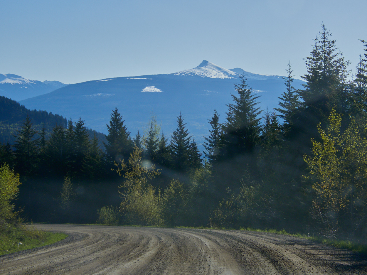
I was even gladder when the dirt roads turned to pavement once more and I spied a much needed gas station in the town of Clearwater, B.C.
From there, I would head into the main, popular section of Wells Gray Provincial Park, home to many waterfalls, some of them among Canada’s most iconic.
And from that moment onwards, my day became increasingly magical. Increasingly full of peace and solitude, geological marvels and marvelous frogs. I would soak up solitude, and I would love almost every minute of it.
As I drove into Wells Gray, I passed by some attractions, sometimes intentionally, and sometimes unintentionally. There’s only one road into each section of the park, so I figured that if I accidentally skipped something I really wanted to see, I’d stop again on the way back.
(Of course, I also intentionally skipped a few very exciting and interesting park areas like the Trophy Mountains, owing to snow.)
Wells Gray Provincial Park
Wells Gray is most famous for its waterfalls, 39 of them named. These were formed through volcanic eruptions and glacial activity. See all posts tagged 'Wells Gray Provincial Park'
Spahats Creek Falls
The first of the waterfalls I stopped at was Spahats Creek Falls. My timing here was not the best. I reached the falls at the same time as a tour bus (incidentally, the only such bus I saw operating.) And, also at a time when the sunlight hitting the falls was just too harsh for my photos to turn out nice.
Nevertheless, it’s a beautiful spot.
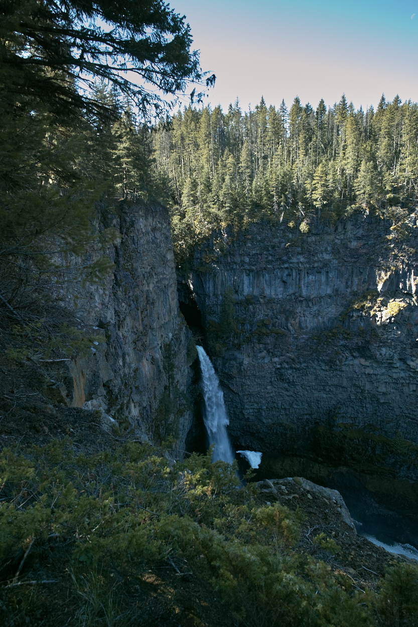
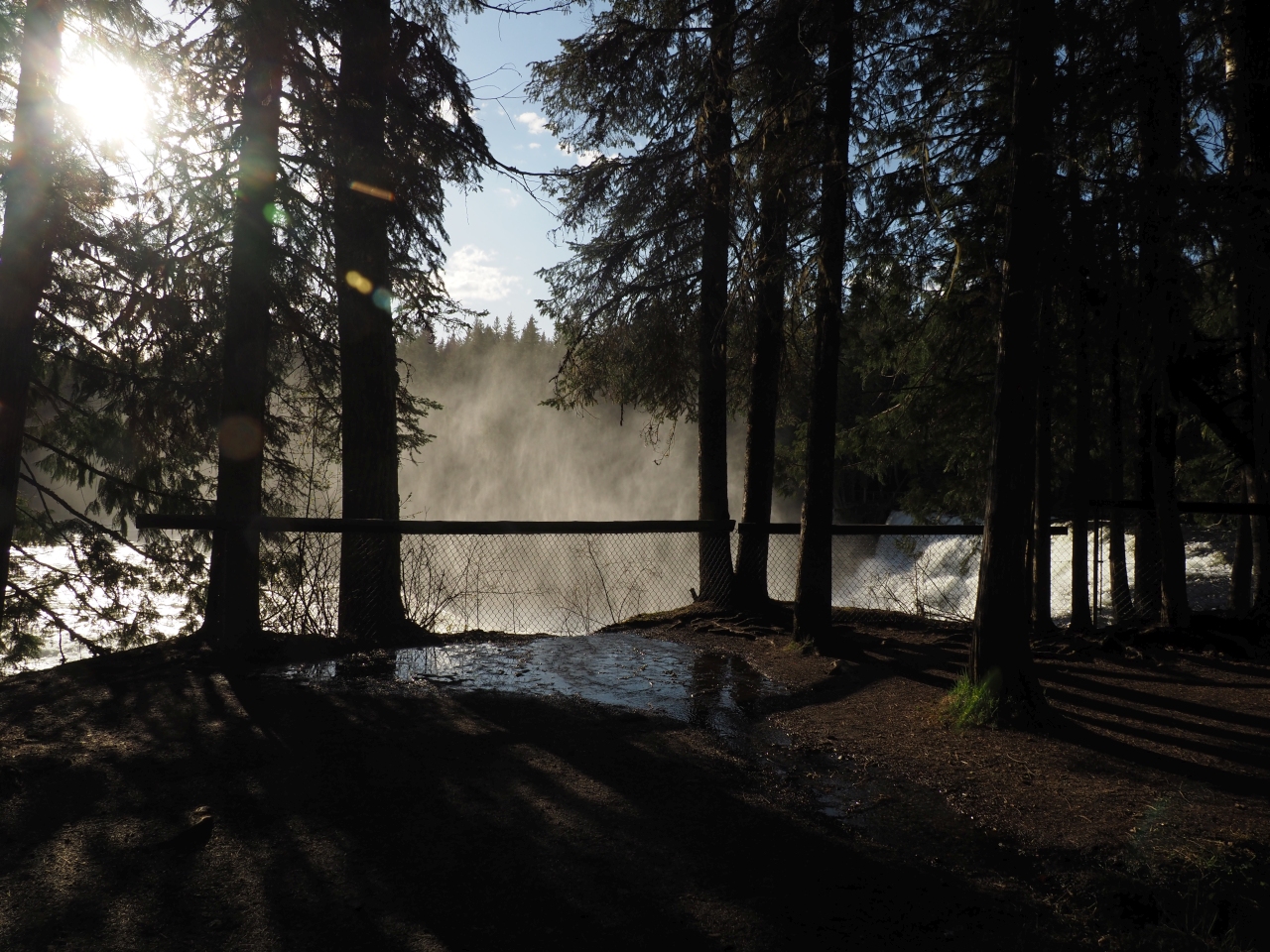
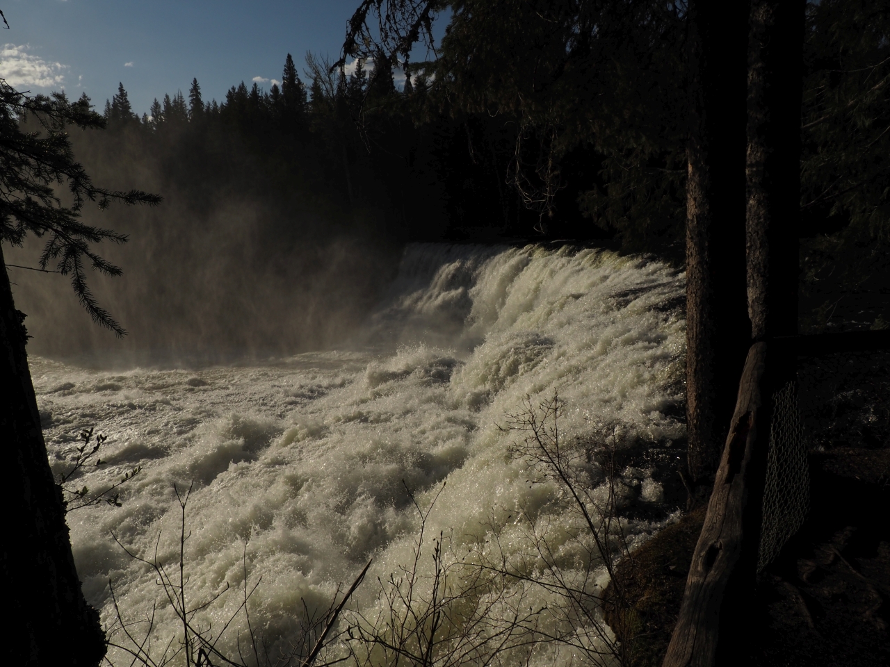
Helmcken Falls
This is the famous one, the park’s main attraction. Deservedly so.
Helmcken Falls is Canada’s fourth highest waterfall, and probably the easiest accessed of the high ones. It is just plain beautiful.
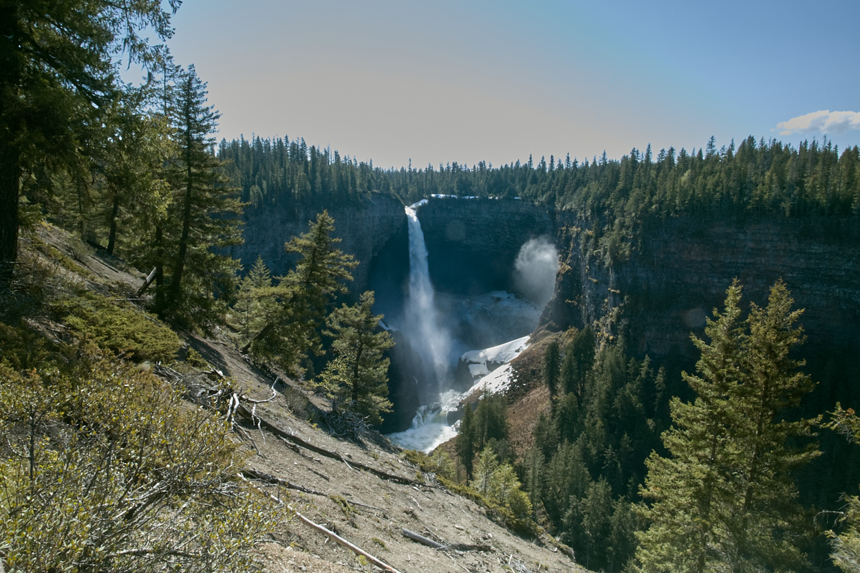
Since I hit it earlier in the morning, the lighting still wasn’t the best. I resolved to come return at sunset…
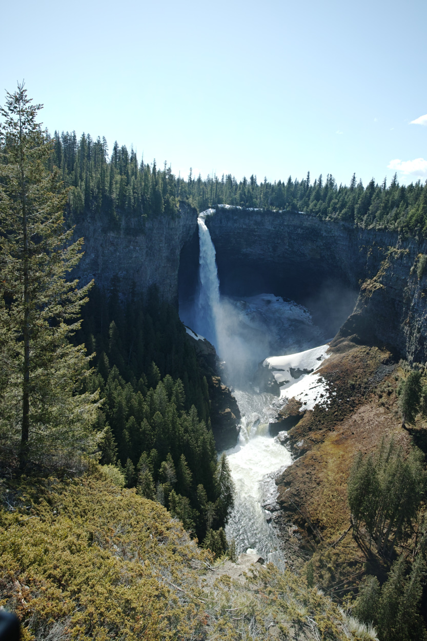
I knew and I know that these two pictures do absolutely no justice at all.
So, hey, here’s a video that also does it no justice at all:
Beyond the Helmcken Falls overlook, the road into the park soon ceases to be paved. It is well-travelled and well-maintained, but no longer asphalt for the rest of its journey to Clearwater Lake.
I continued North, hoping to stop at some more waterfalls and some hiking trails along my way…
West Lake Loop
I wanted to do a longer hike, but I also decided I was going to avoid the snowy alpine. Pyramid Mountain? Off the table. Trophy Meadows, with its not-yet-flowering wildflowers under a blanket of snow would have to wait.
| Trail Information | ||
|---|---|---|
| Name | West Lake Loop | |
| Miles | 3.3 | |
| Type | loop | |
| Location | Wells Gray Provincial Park | |
| State | BC | |
| Country | Canada | |
| Check out the trails index for information on more trails! | ||

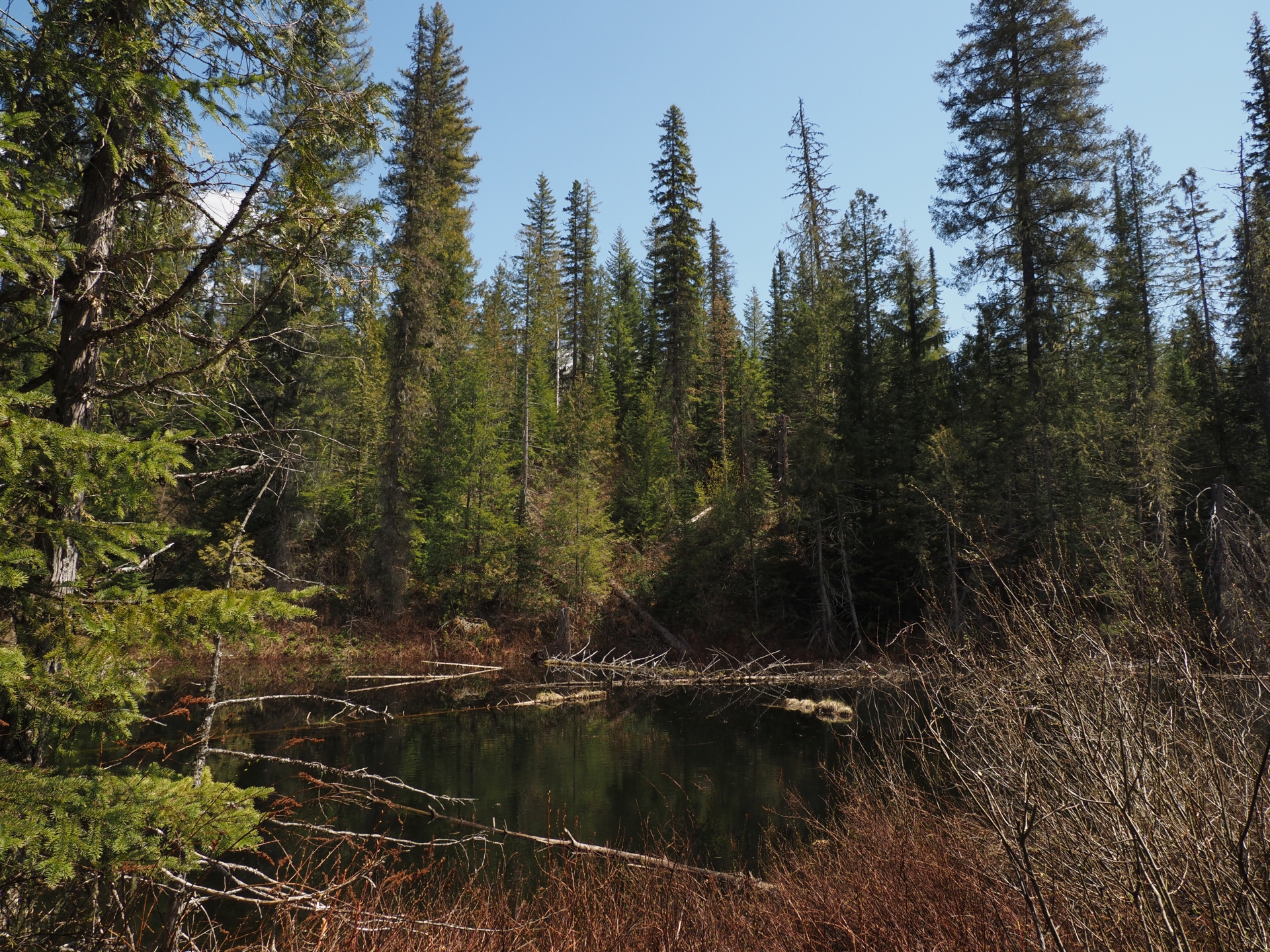
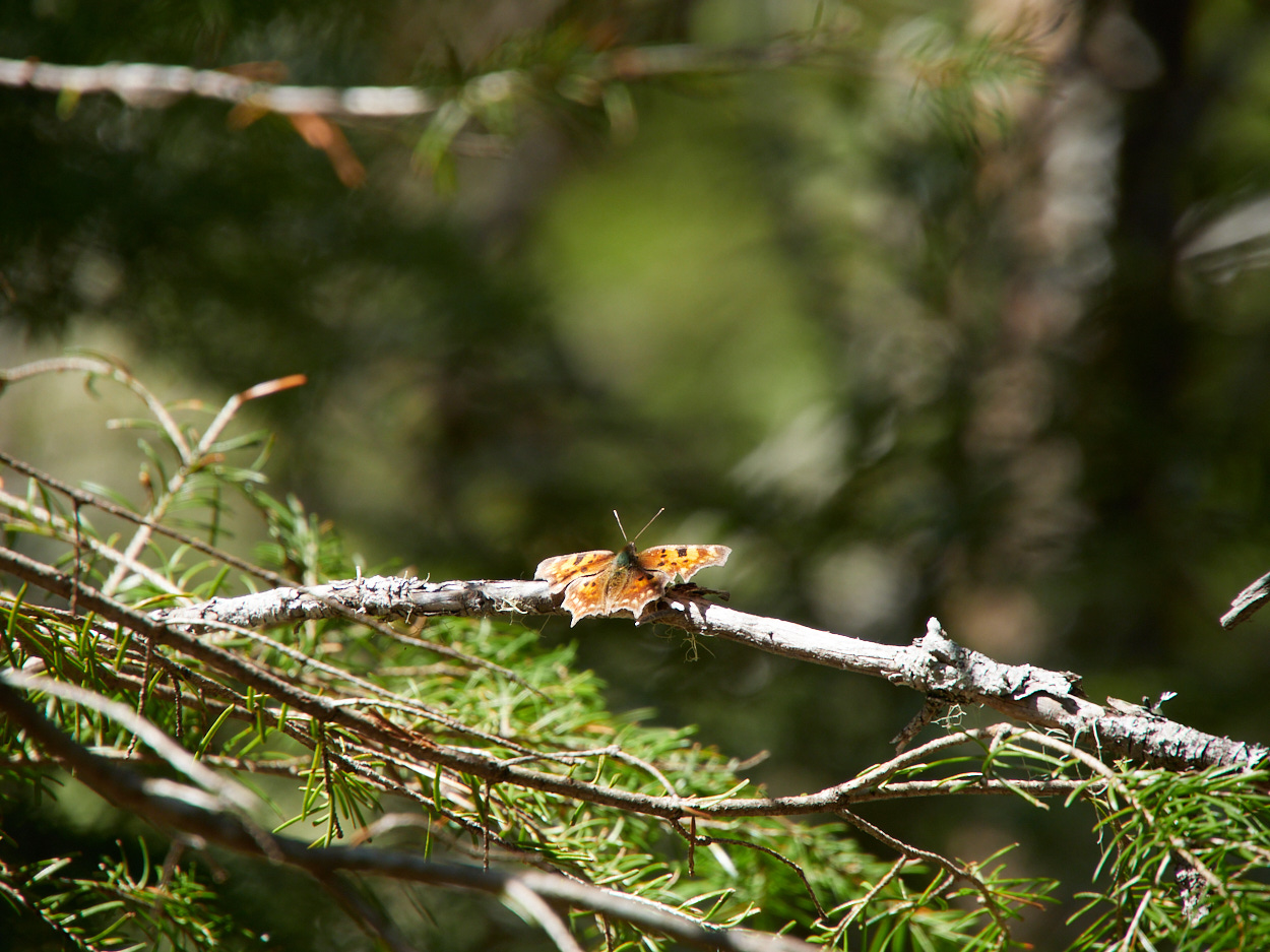
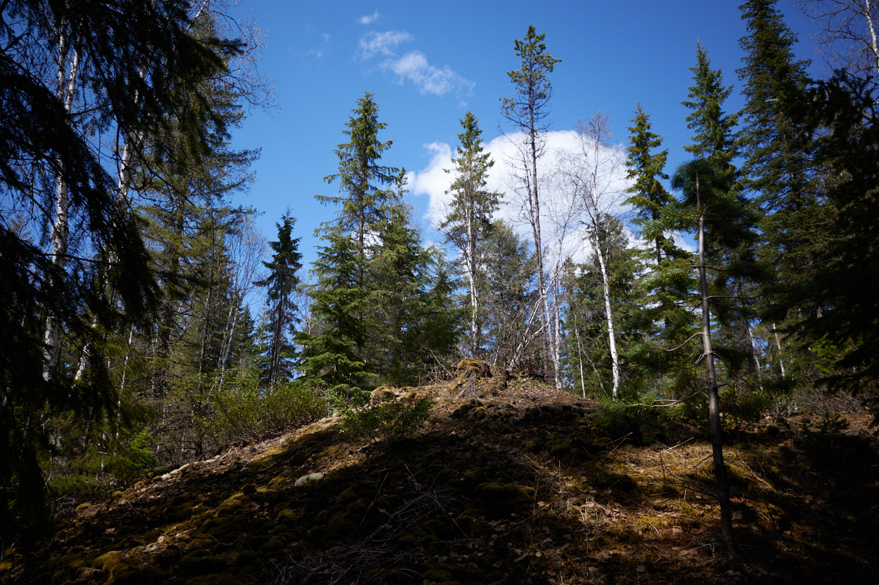
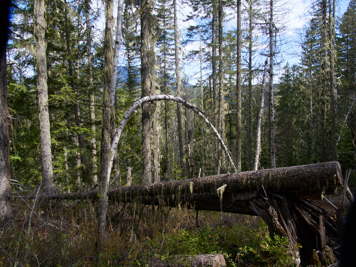
Instead, I walked the West Lake Loop, moderate and easy going. I would say for this hike, and any of the forested hikes to waterfalls that I did in Wells Gray, the forest areas are nice but not jaw-dropping.
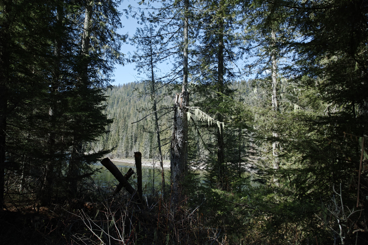
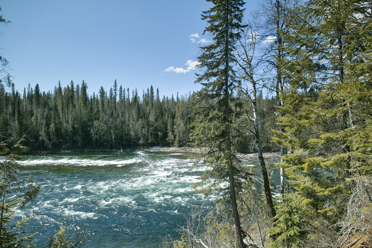
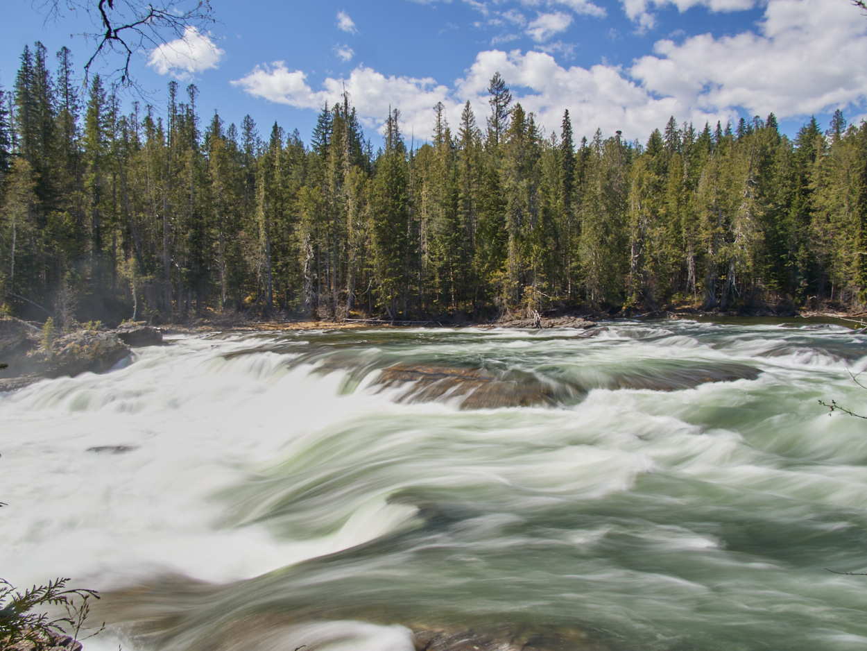
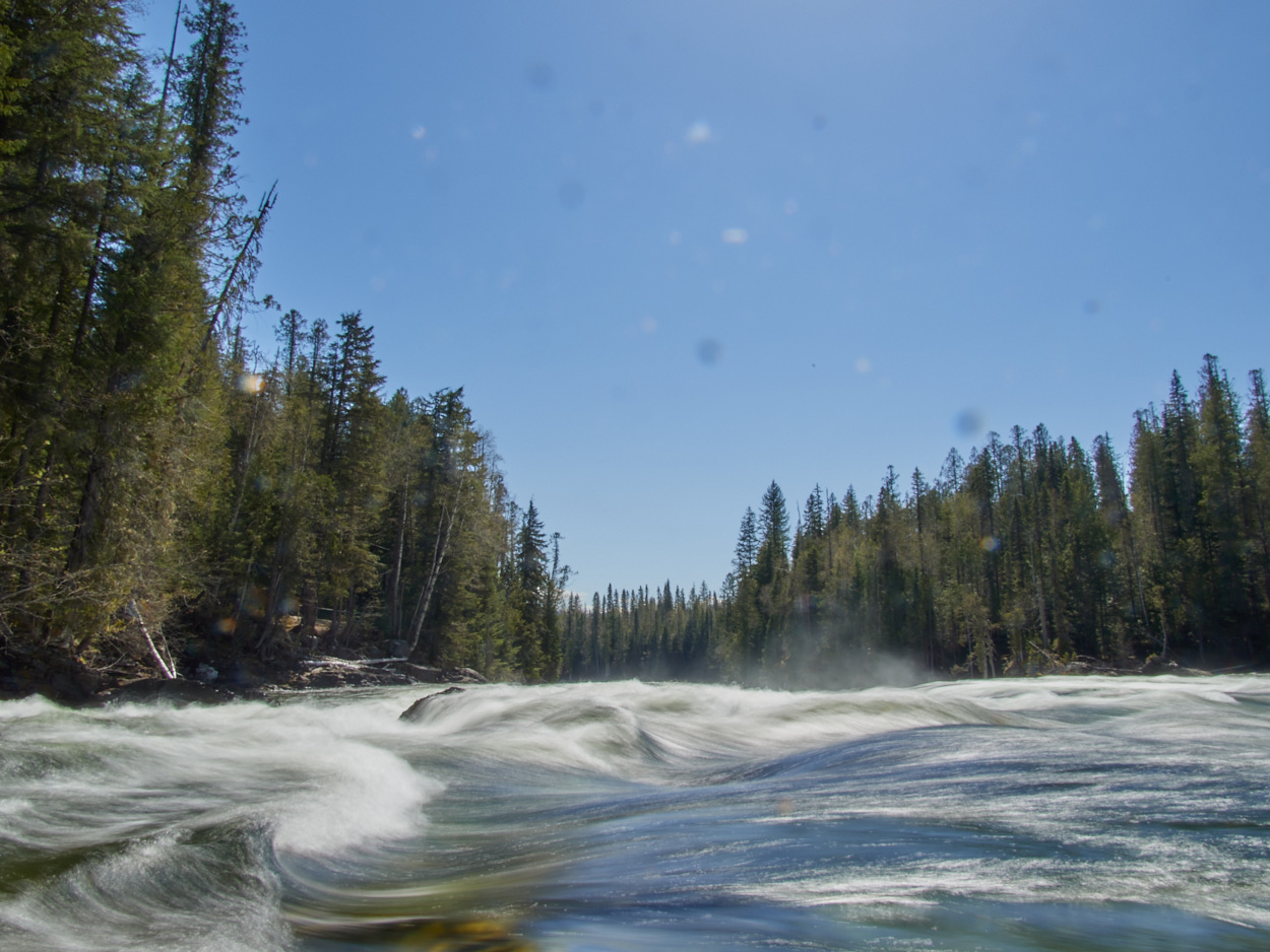
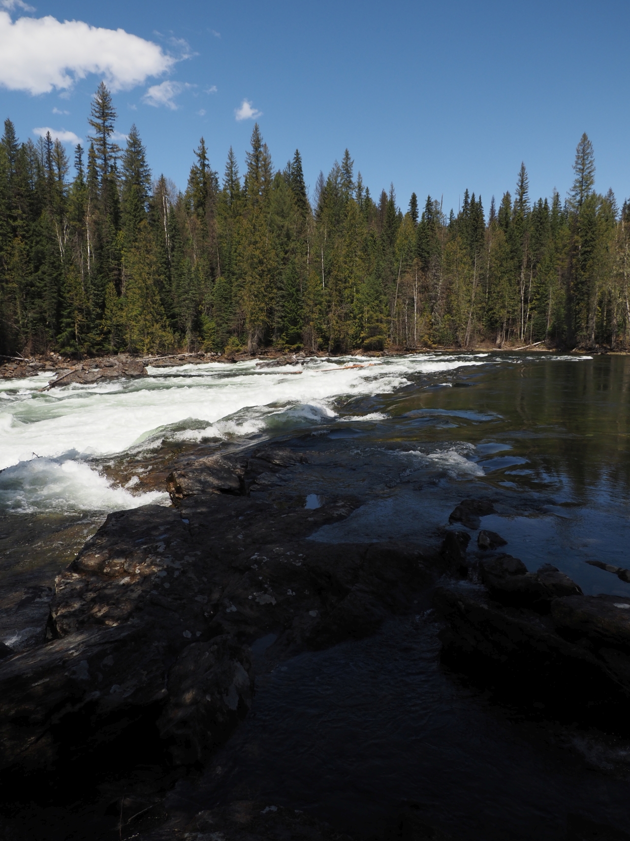
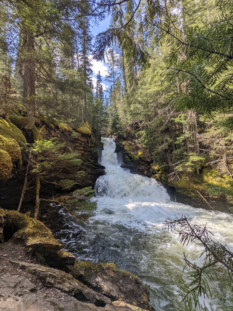
First the trail runs along the Clearwater River, in an area of rapids known as Bailey’s Chute.
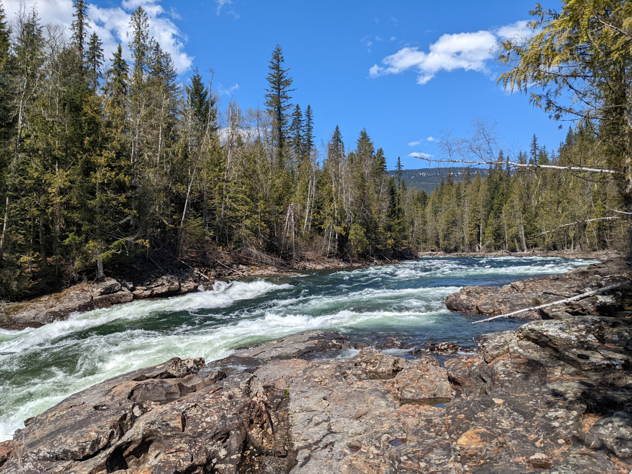
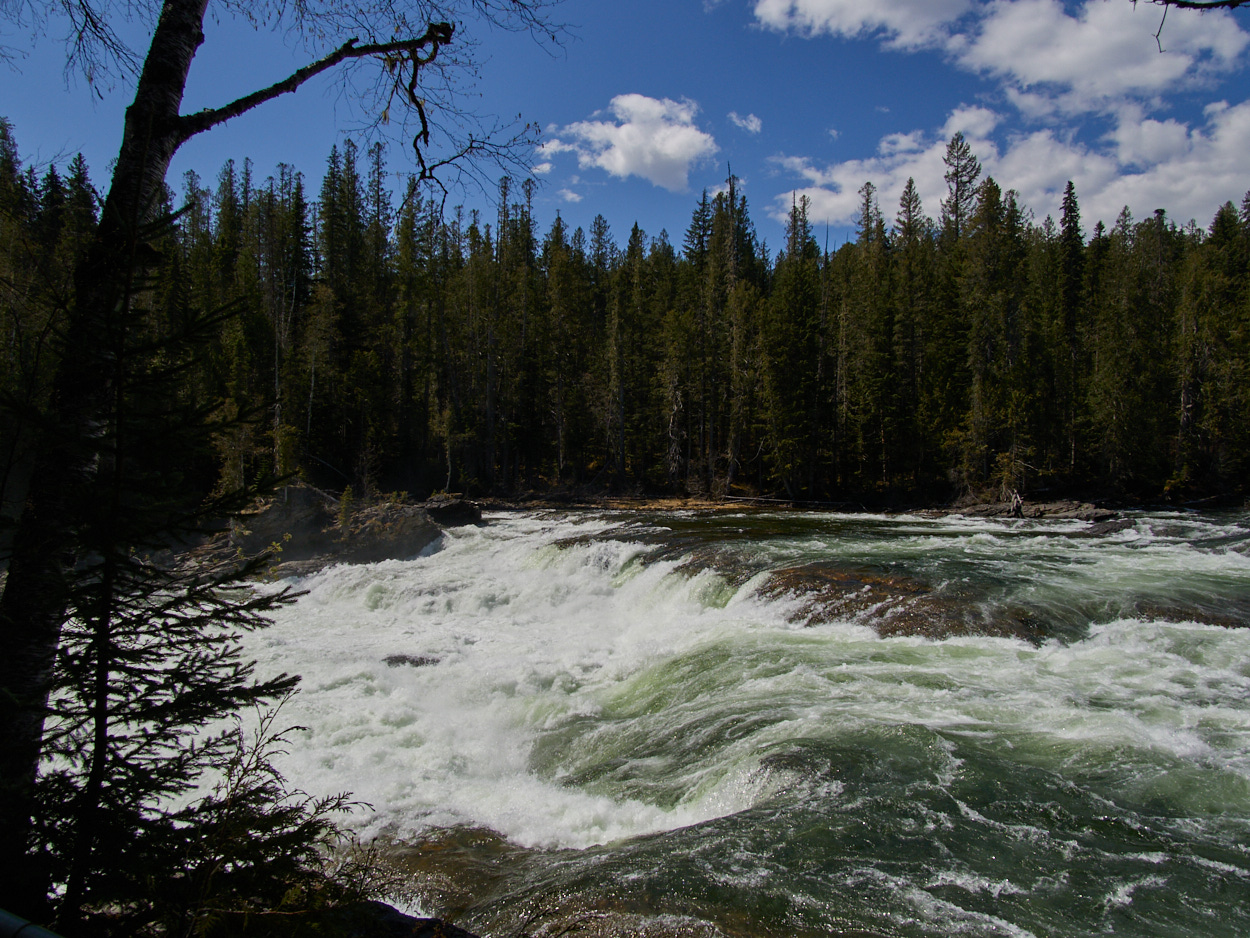
Then you get to see Marcus Falls.
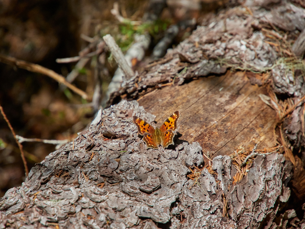
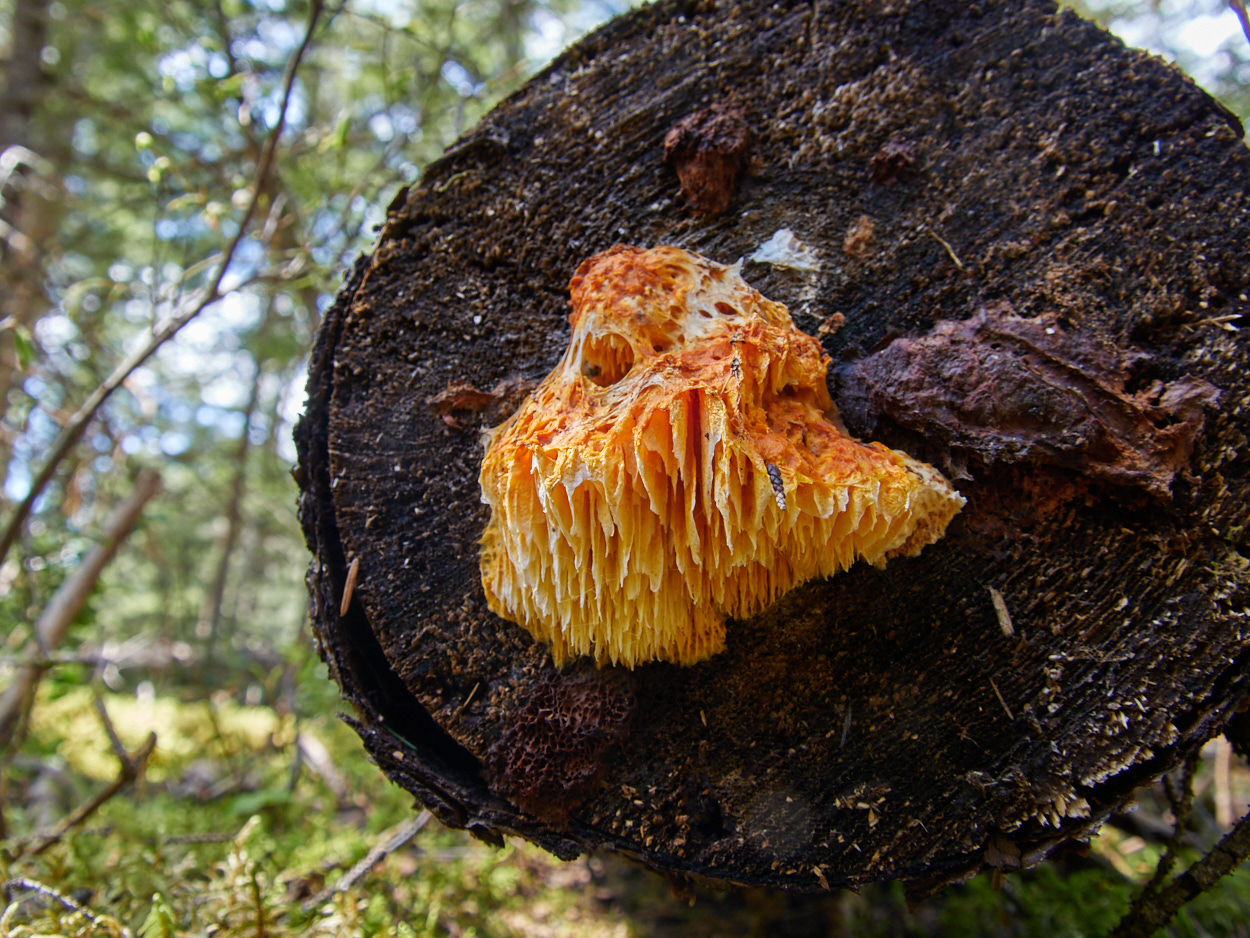
And from there, you continue uphill, through a tranquil forest.
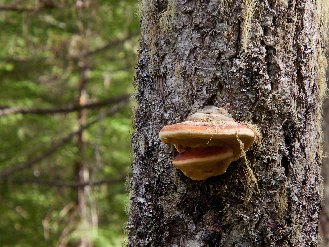
It’s an area where you never know what might be lurking on a log. 😉
The second waterfall on the loop, Myanth Falls is, of course, beautiful, but probably the least spectacular falls I saw in Wells Gray.
From there it’s onwards and upwards, to the West Lake.
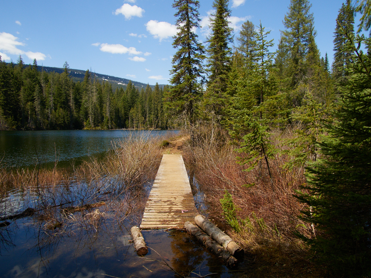
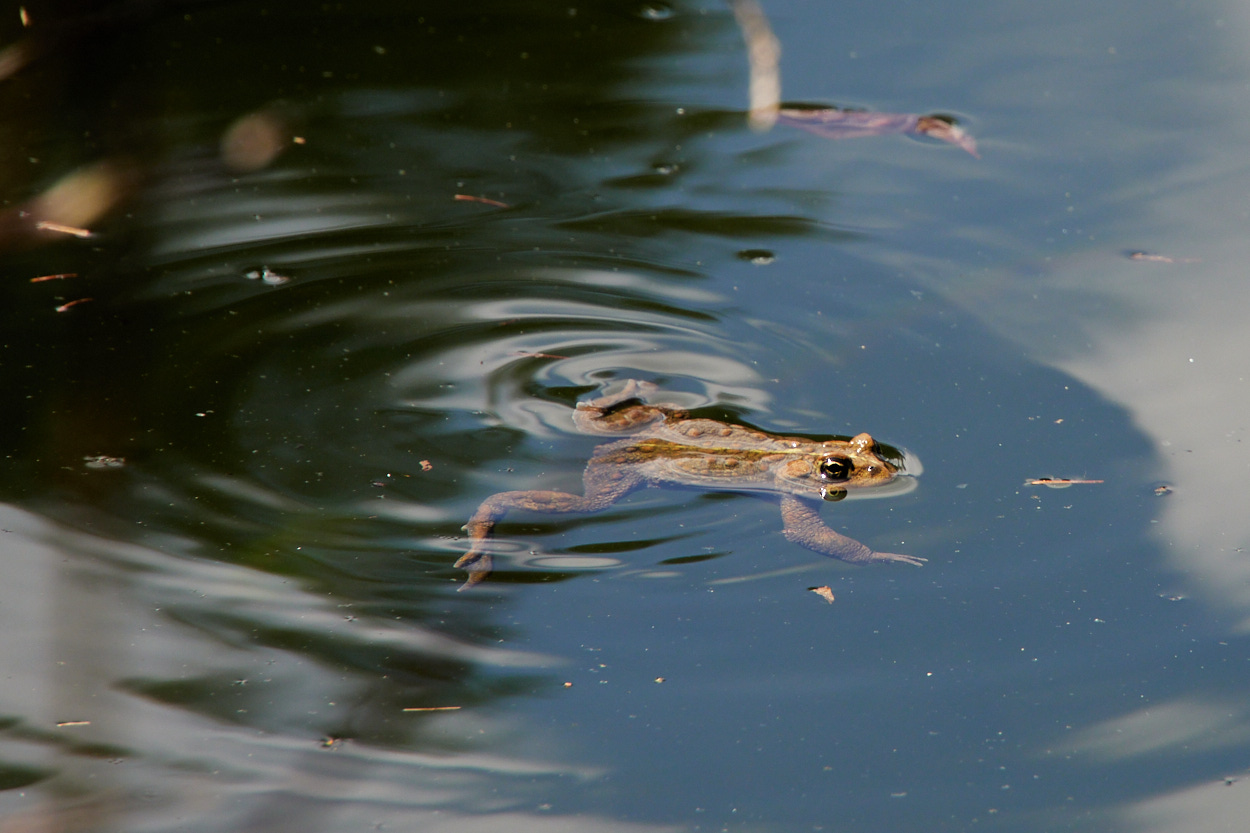
But, when it comes to the wetter areas of the hike, it’s clear what’s lurking under the boardwalk. It’s a particular amphibian that makes a sound that starts with ri- and ends with -bbit. Any guesses?
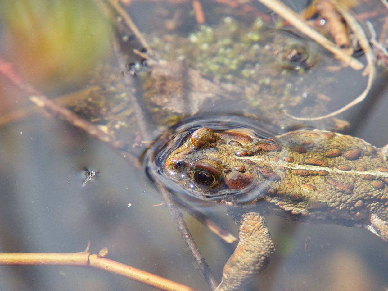
That’s right.
I love frogs!!
A simple downhill slope leads you back to the trailhead, refreshed from a lovely forest walk.
Lunch
I stopped for lunch, assembling more dubious meat sandwiches near the Clearwater Campground / Boat Launch. I could have set up my tent there for the night, but I was set on choosing the Pyramid Lake Campground instead. It was closer to a trail that I wanted to hike at dusk, and it had a reputation for being unpopular mosquito happy swampland, meaning I could expect a great deal of solitude.
From the Chain Meadows Trailhead
Was I going to go on another hike after lunch? You betcha!
Basically, the point was to see Osprey Falls, and I guess some other stuff. So I set out from the Chain Meadows Trailhead, along a branching path down a few different trails.
| Trail Information | ||
|---|---|---|
| Name | Chain Meadows Trailhead to Stitca Falls, Dragon's Tongue, and Osprey Lookout | |
| Miles | 2 | |
| Type | trail system | |
| Location | Wells Gray Provincial Park | |
| State | BC | |
| Country | Canada | |
| Check out the trails index for information on more trails! | ||
Theoretically, I could have done a much longer walk and returned via the nearby campground, but I wasn’t up for that. Instead, I meandered to three separate destinations along the trail system.
The furthest/highest point I hiked to was the Osprey Falls lookout, from which I returned the way I came.
To Dragon’s Tongue
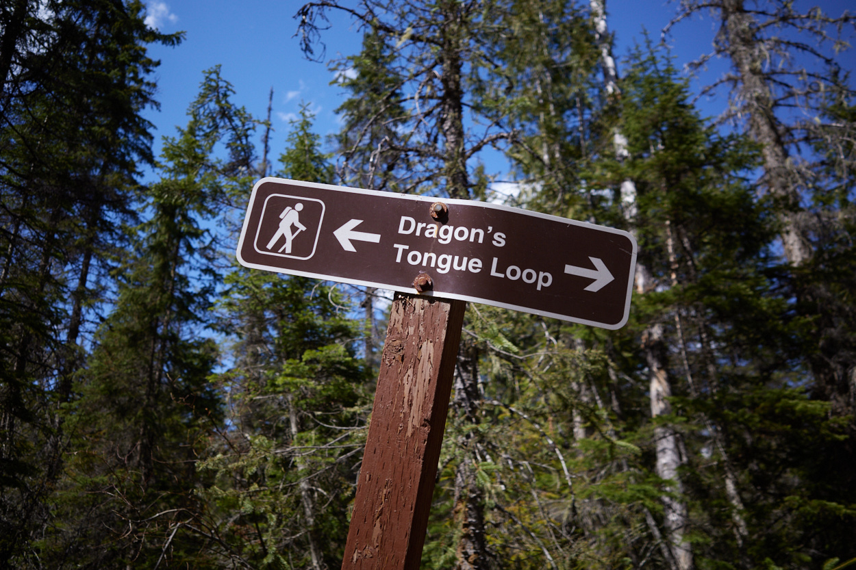
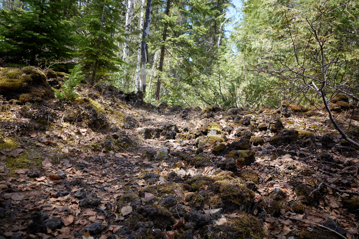
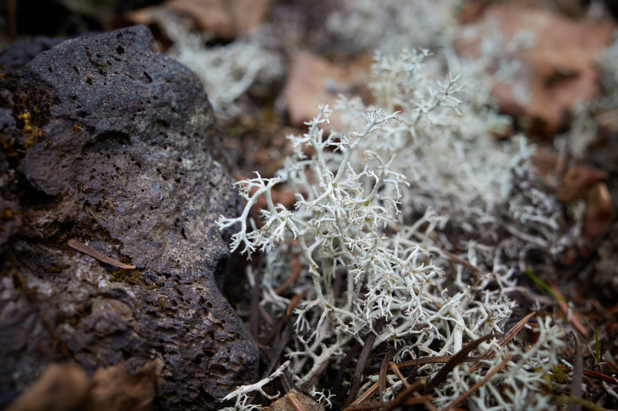
The “dragon’s tongue” is an old lava flow in the forest. Of the three spots I visited.
To Stitca Falls
A small spur near the bridge on the way to Dragon’s Tongue leads to Stica Falls.
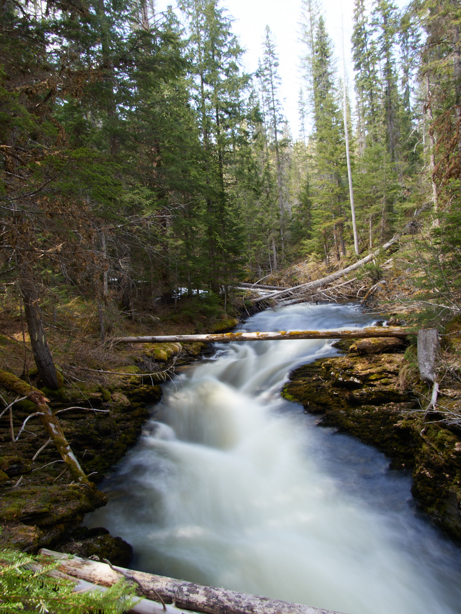
I enjoyed their natural setting, and the tranquility. I had no other visitors, and I lingered near the falls base for some time, just enjoying being alone in the forest, with the rush of water next to me.
Heck, you can even hear me say as much to the cellphone camera:
Or, you can hear the falls speak alone:
To Osprey Falls Lookout
From there, I figured I had to make my way to the Osprey Falls look out. After all, ospreys are super cool.
How could a waterfall named after them be anything but?
Well, the truth is that you have a lovely view of the forest and the river, but from here the falls aren’t that easy to see.
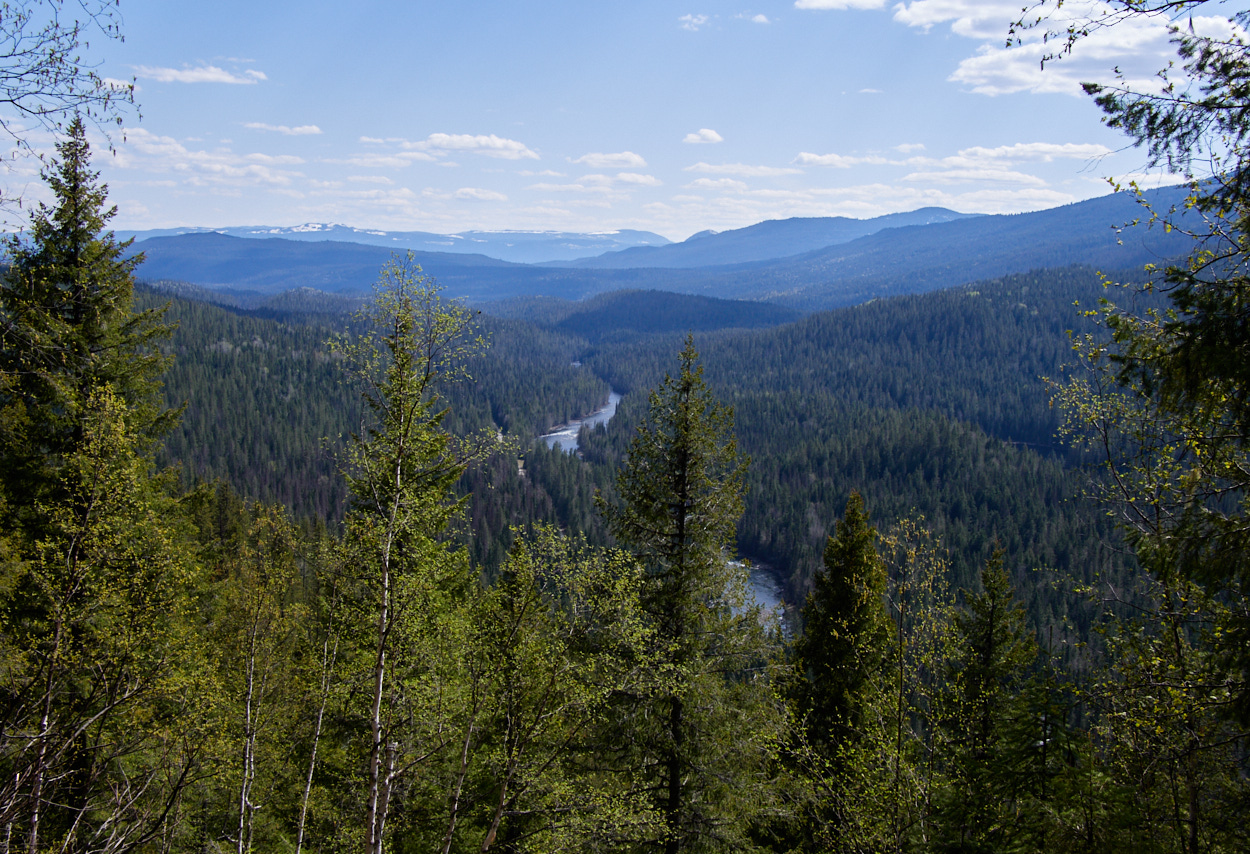
The forest, again, is lovely, but not earth-shatteringly beautiful.
Pyramid Campground // Rest
I headed back south in the park. I decided I was going to try to hike a certain trail at sunset, and I was going to try camping at the nearest first come, first serve campground to that and avoid driving back and forth on the unpaved road.
The Pyramid Campground is, as the guidebook says, built on a swamp, often full of pesky mosquitos, and genuinely unpopular compared to the campgrounds further north in the park.
This is absolutely true, though the mosquitos were less bothersome on cold May days than I imagine they would be later in the season.
It did mean, though, that I had plenty of solitude as I set up my tent, and flipped through the guidebook. What park attractions would I see next? And what had I missed?
Dawson Falls
After I was set up, I ventured out to visit Dawson Falls, from the vehicle-accessible viewpoint.
(There are other trails that lead to different views, but erm, I was saving my strength…)
These were spectacular as well, but since the sun was lower in the sky, the angle of light was again unfriendly to good photography.
Picture not good enough for ya?
I’ll leave you with this video, then:
And, we’ll leave Steve by Dawson Falls too. Itching for the right time. Almost ready.
For the last hike of the day…
This post was part of a series:
Thanks for reading!
If you enjoyed this post, you might enjoy these 5 similar posts:
- 2022-09-10 —Mahood Lake & The May Long
- 2022-09-17 —The Road to Robson
- 2022-09-09 —Dead-End Detour
- 2022-09-13 —The Helmcken Falls Rim Trail (A Great Day's Conclusion)
- 2022-10-13 —In the Land of the Nisg̱a’a (On the Wrong Day of the Week)