Looping Lake Quinault
✍️ • 🕑 • Tags: Olympic National Park • rainforests • waterfalls • lakes • logging • dreary days • Washington State • Places: Kestner Homestead
During my 2019 visit to the Olympic Peninsula, I passed by the Quinault Rainforest, in the dark, without stopping.
2023 would be different.
I would not pass up the opportunity to be transfixed by the beauty of Lake Quinault, the luscious rainforest, and everything I could easily see along the Lake Quinault loop, a scenic 30 mile drive just off Highway 101.
Driving around the lake (and the river) is a brilliant, though unnecessary diversion. I feel like a lot of National Park roads are designed to show scenery from the seat of a vehicle.
This loop does that, but it is far more than just a “tourist” road.
Once you pass the point where pavement starts deteriorating into potholes, it’s clear that there are many local users, folks who live in this area. That the fact that the road loops around the lake and can be used for tourism is ancillary to its primary benefit – being a way to get to and fro your home.
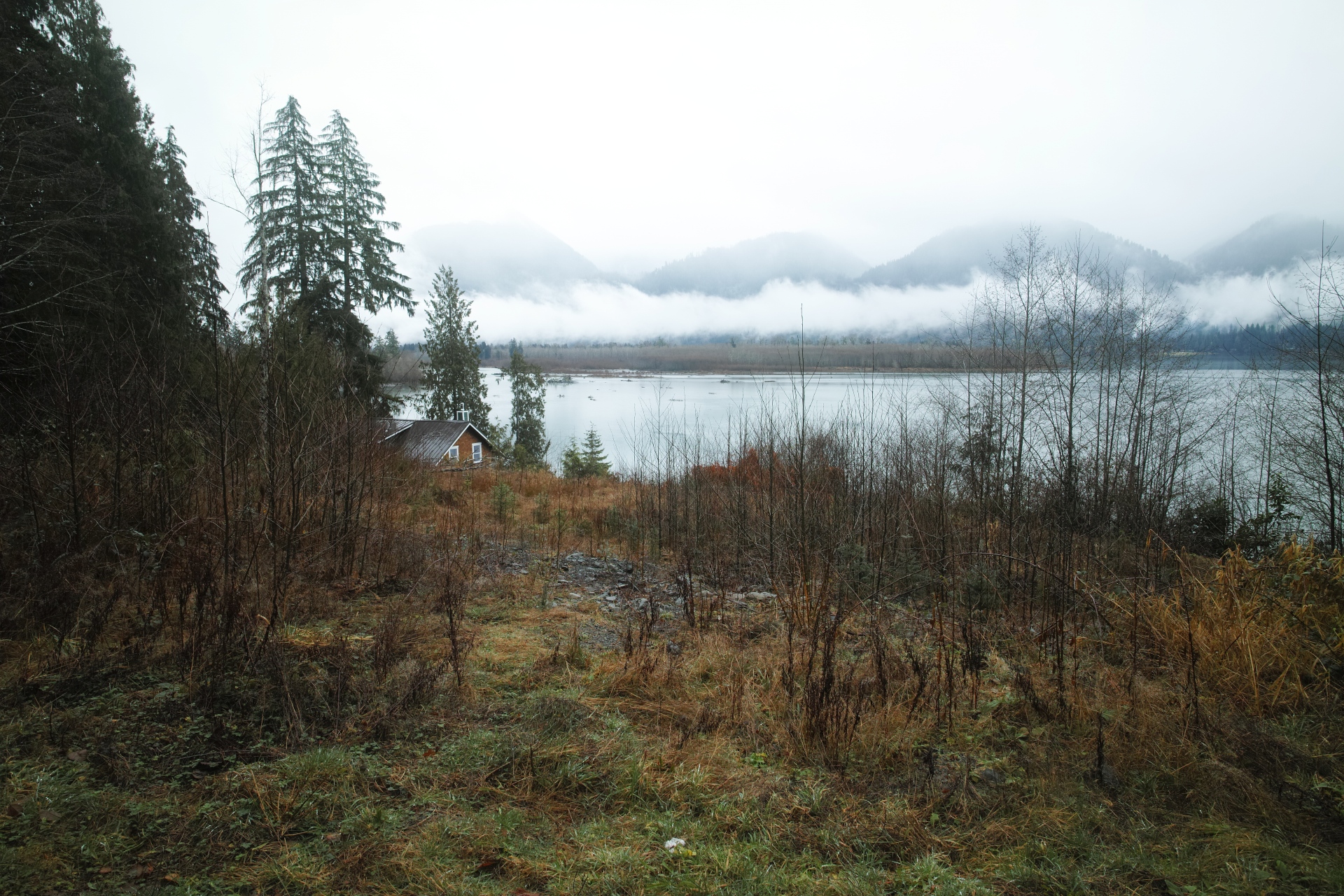
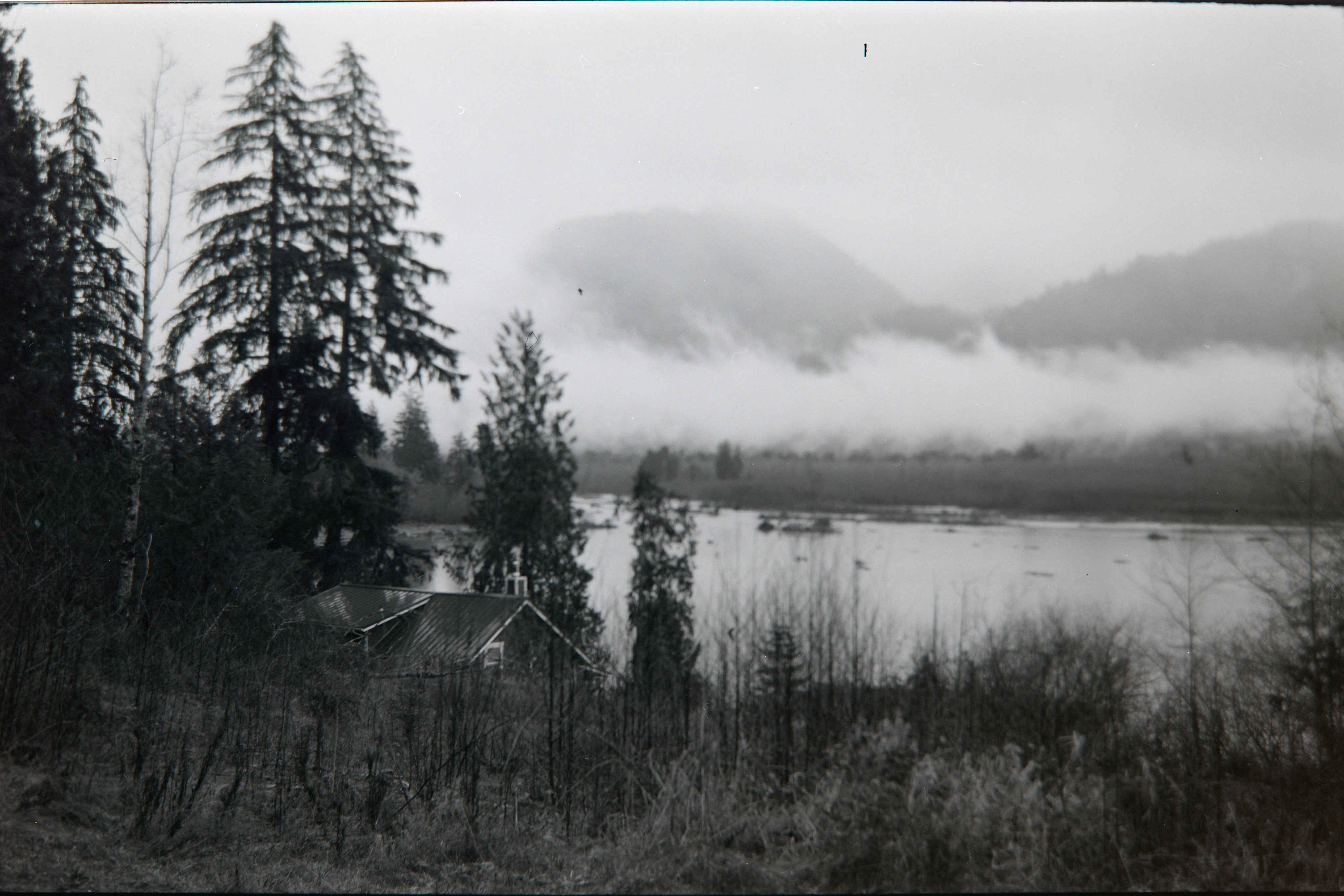
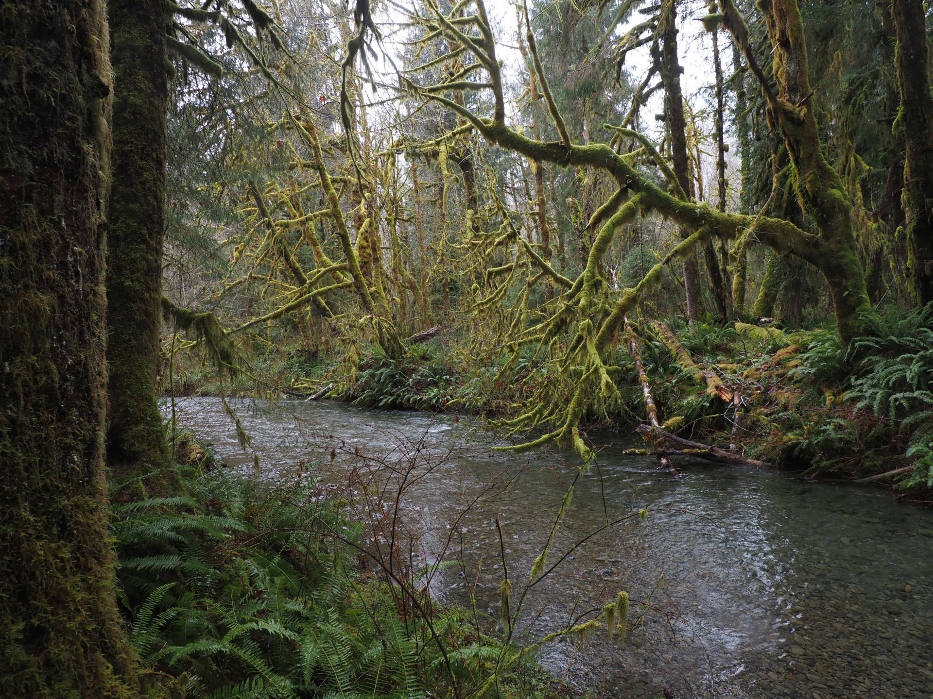
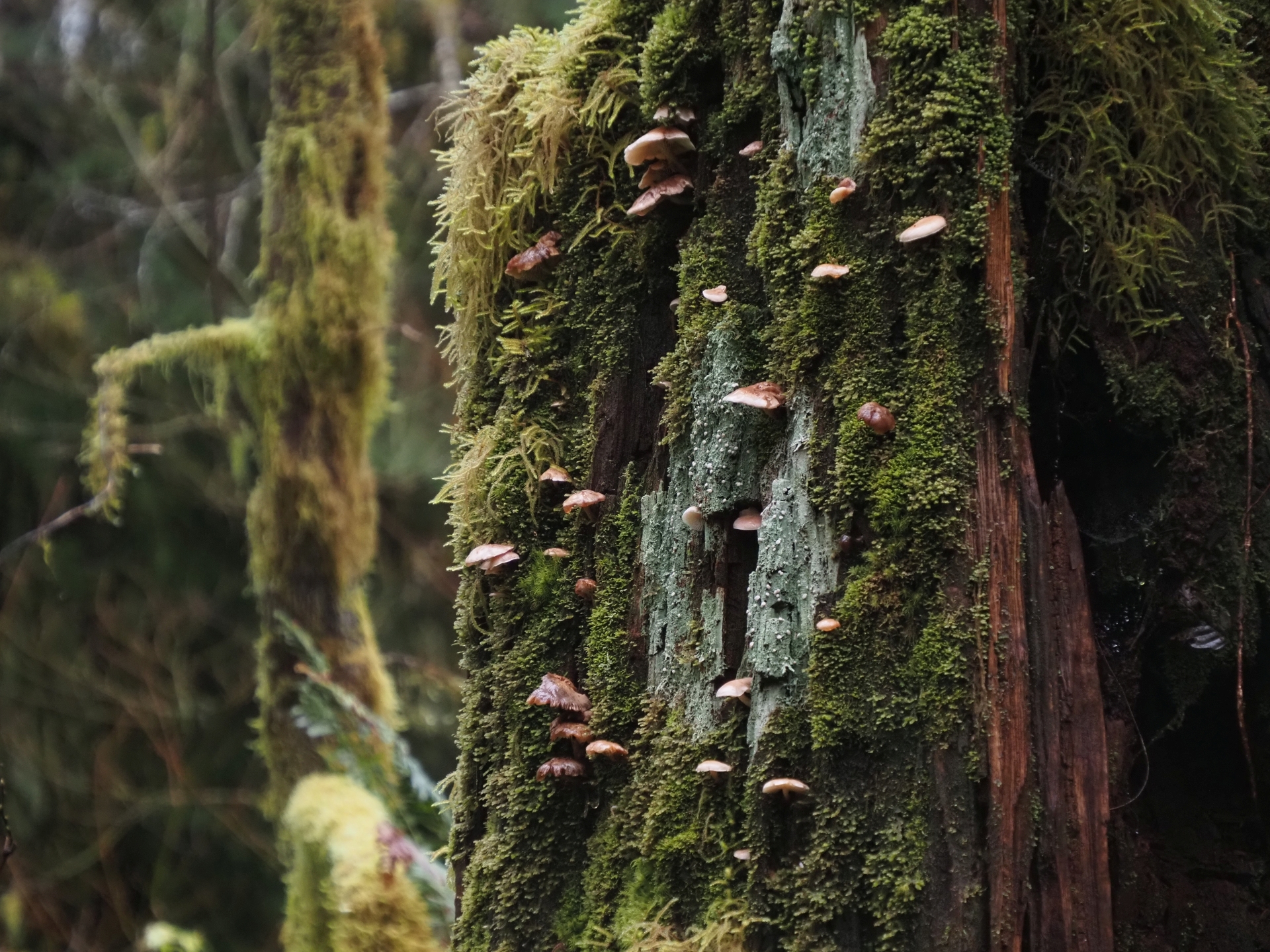
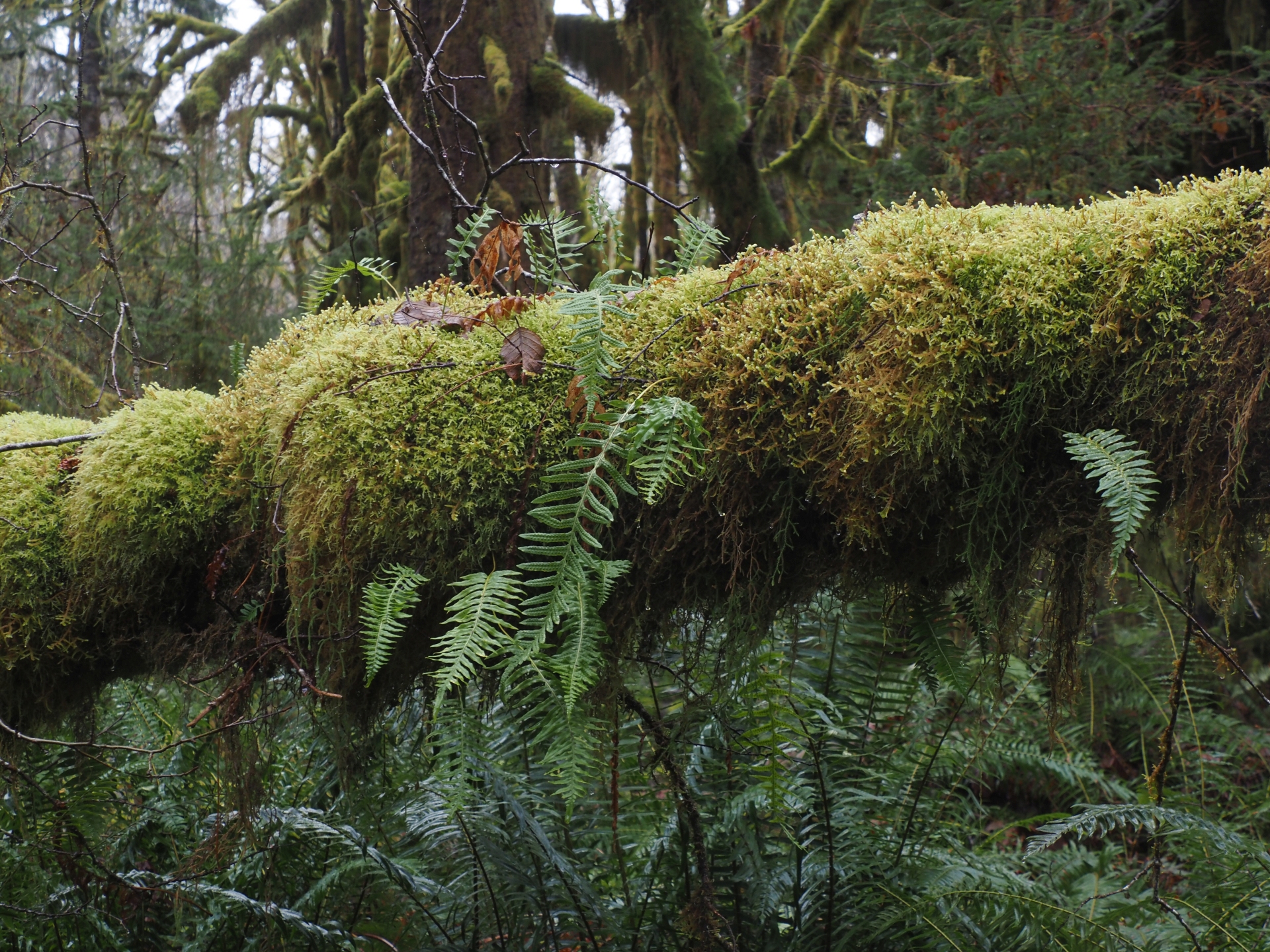
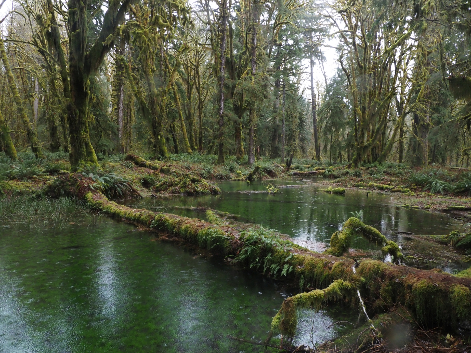
My first stop was a picnic area and creek overlook, one that I found profoundly beautiful in a way that I hadn’t expected.
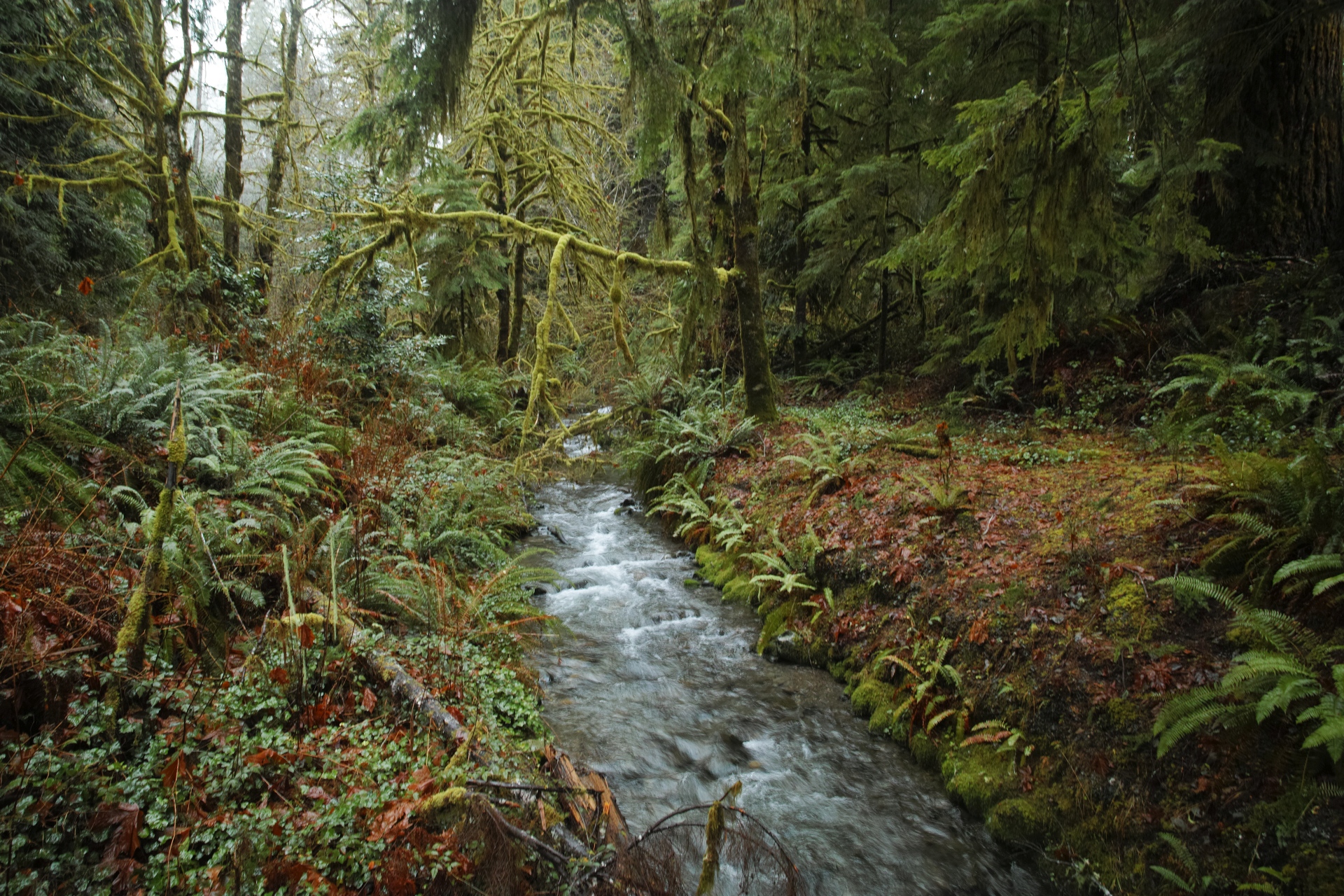
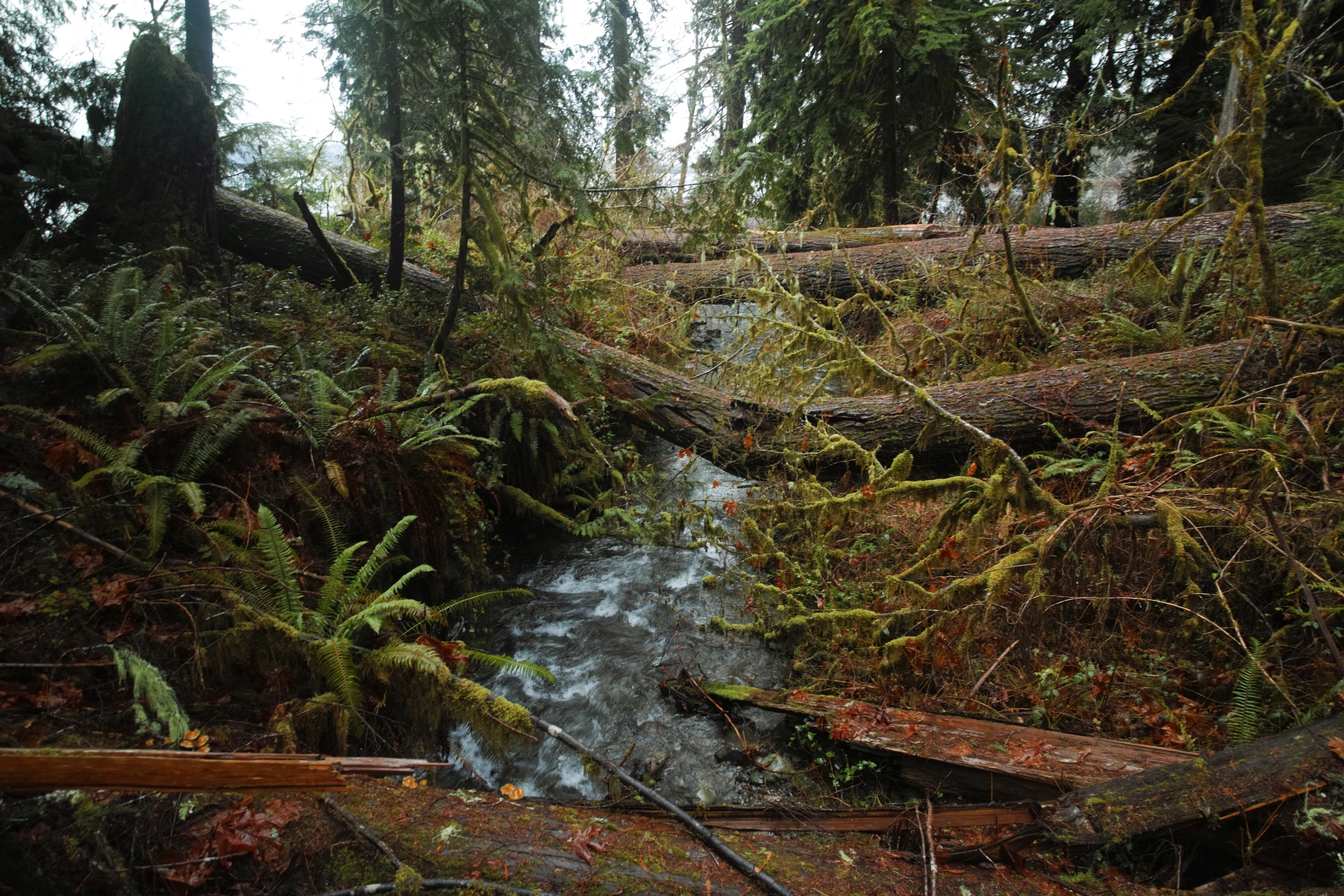
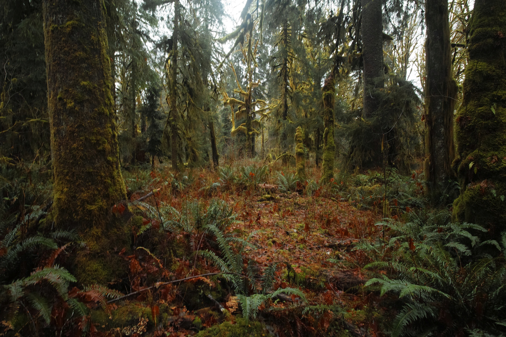
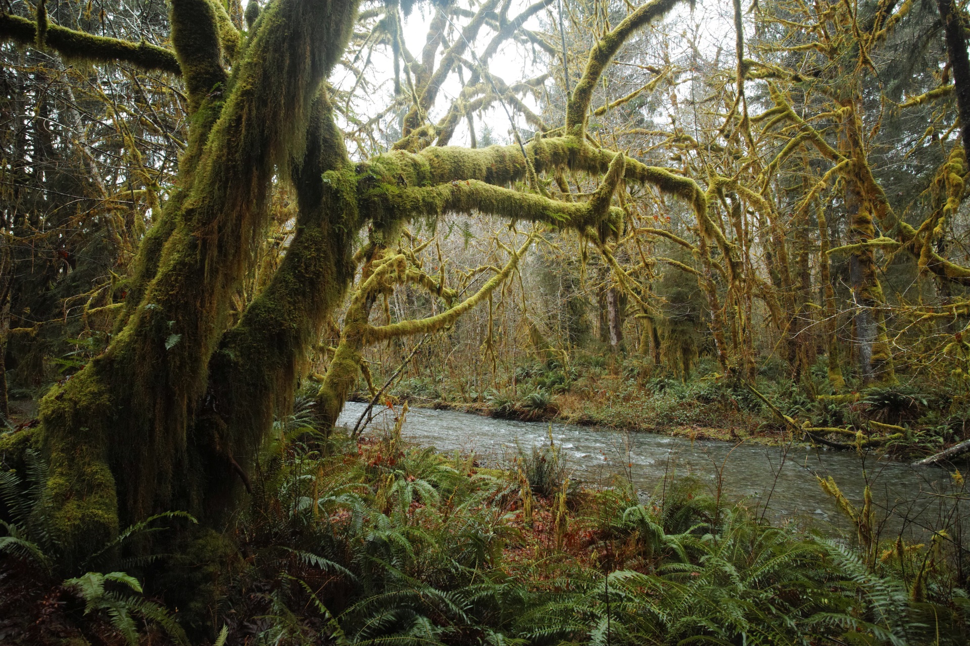
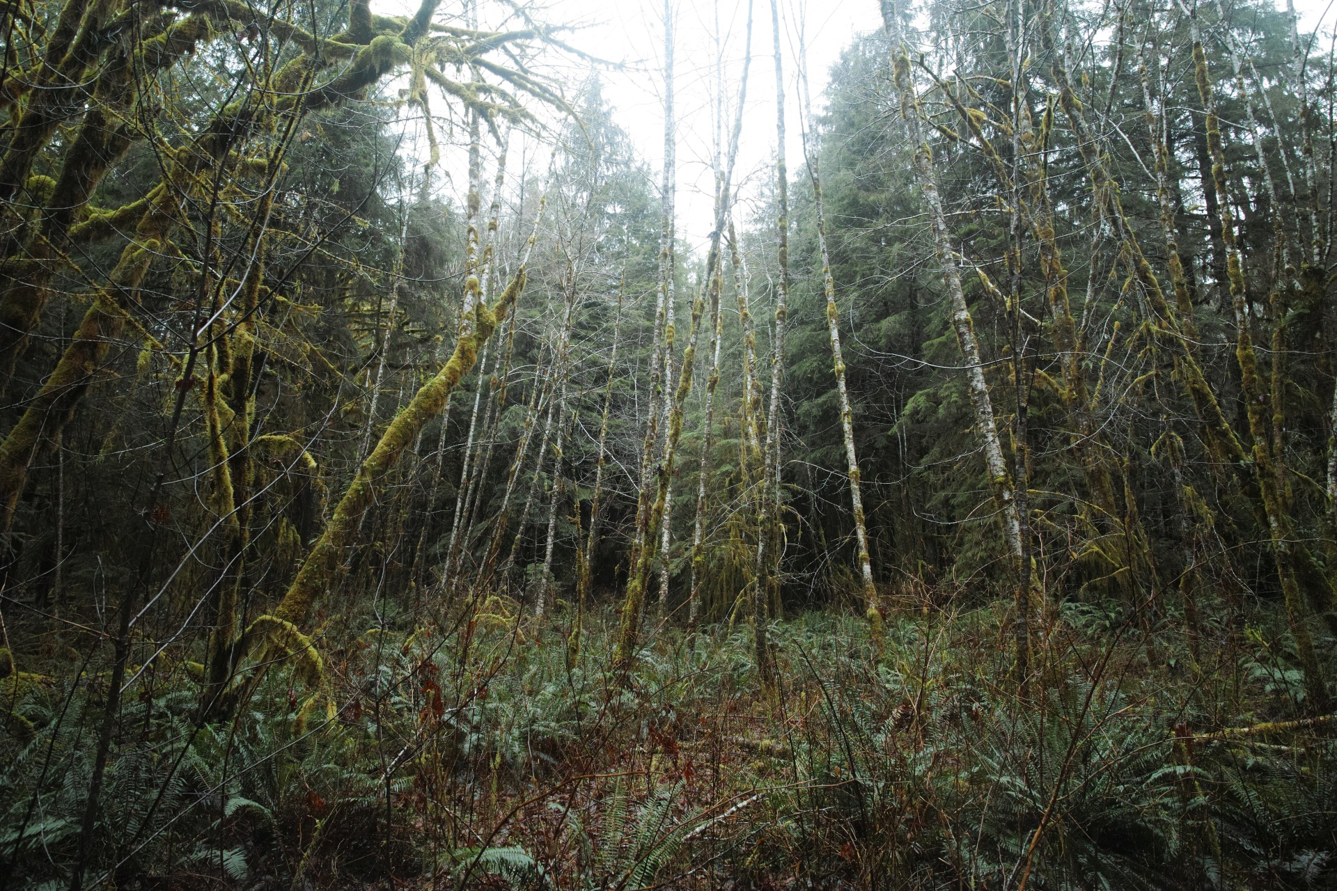
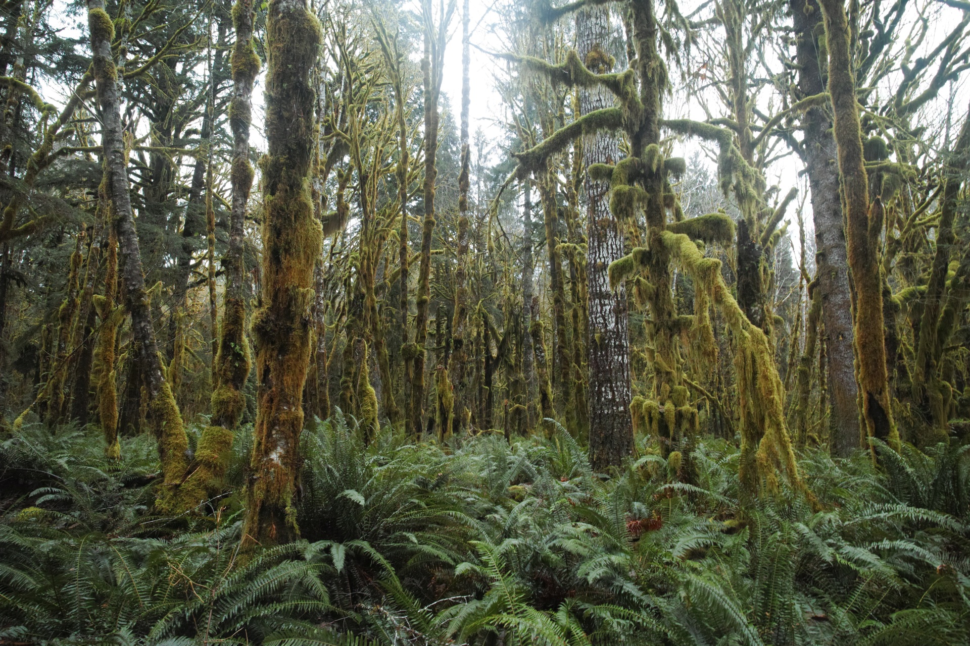
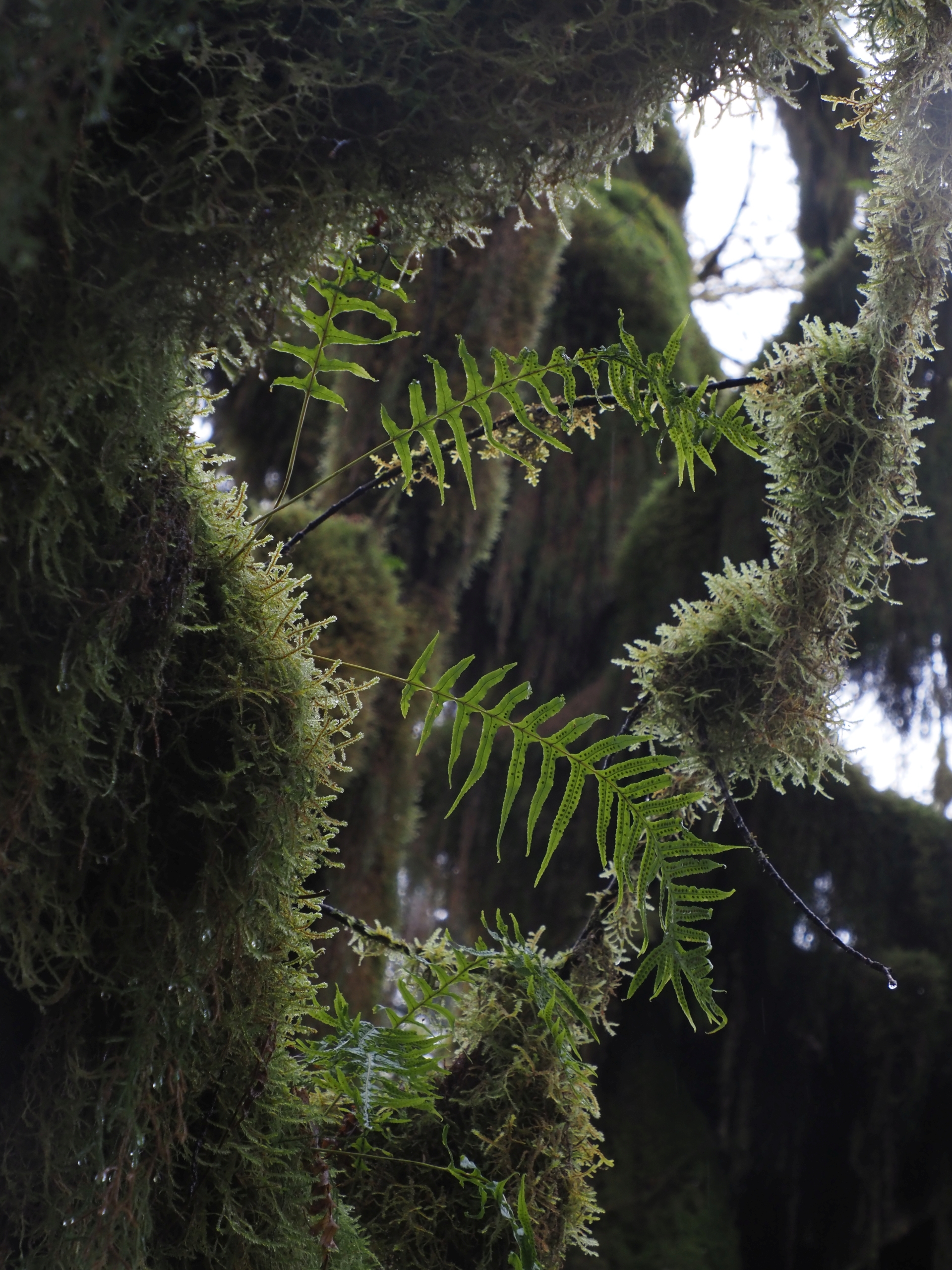
I spent a surprisingly long while ambling along an old logging road through Maple Glade, towards the Kestner Homestead. The trails there can be done as a nice, easy loop.
| Trail Information | ||
|---|---|---|
| Name | Kestner Homestead - Maple Glade | |
| Type | loop | |
| Location | Olympic National Park | |
| State | WA | |
| Miles | 1.4 | |
| Check out the trails index for information on more trails! | ||
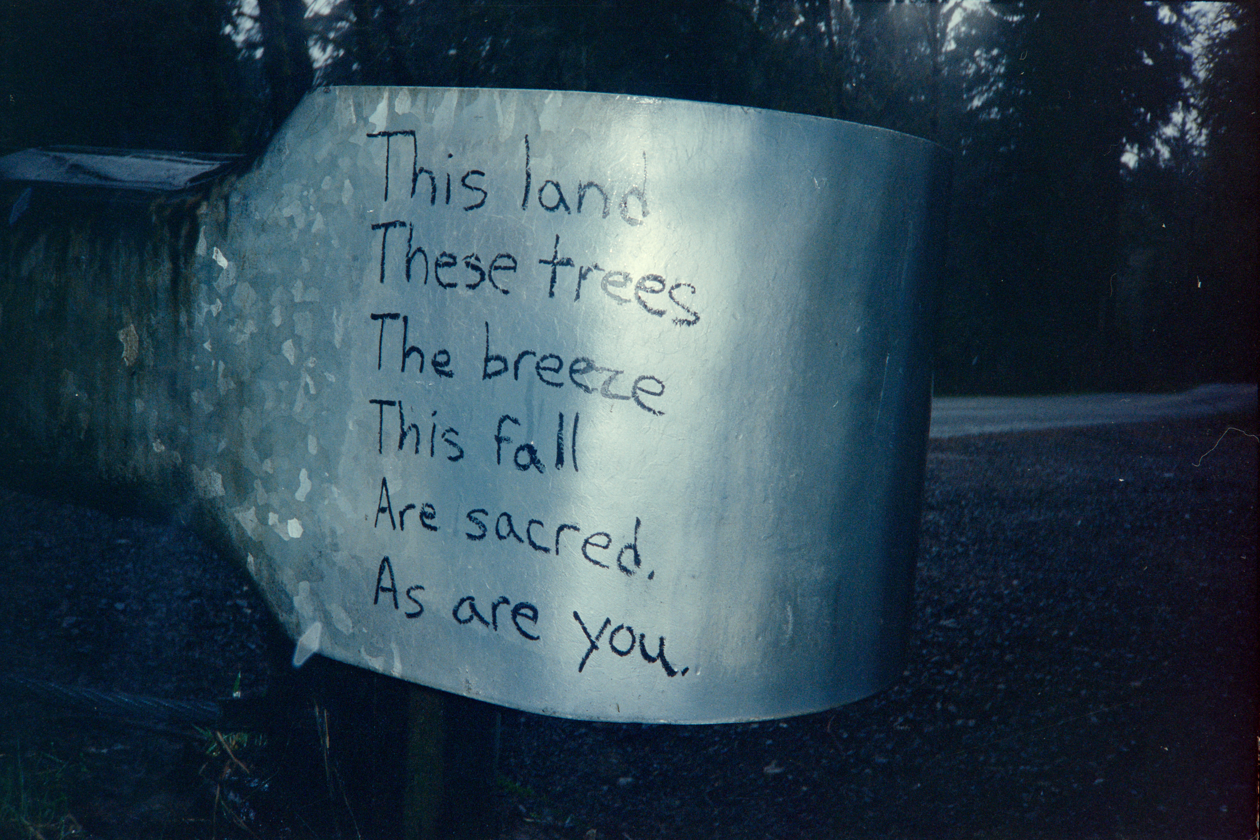
The Quinault lived for thousands of years, between the rugged beaches, temperate rainforests, and river valleys of the Olympic Peninsula. Their anglicized name came from kwínayt, the name of their largest village in the late 1700’s.
Over the coming years, the United States expanded westward, seizing native lands by treaty, and establishing reservations. Washington Territory was established in 1853. In the Quinault River Treaty, natives ceded millions of acres of land.
By the 1890’s, there was some interest, or attempts to drum up interest, in the Olympic Peninsula as an area for settlement. However, the areas were never that popular with settlers due to the rugged conditions and unsuitability of the land for many types of agriculture.
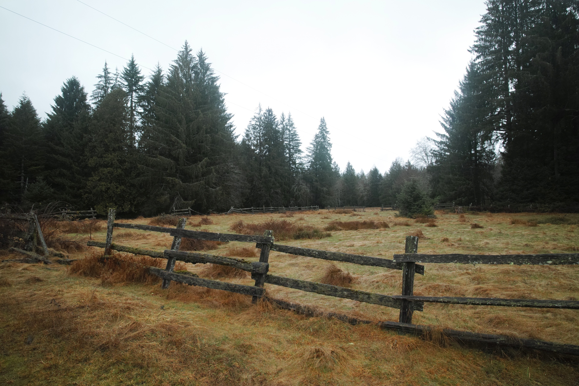
The Kestners settled in the area in 1897, after many of the choice lands had already been taken. They cleared an orchard, erected a barn, grew vegetables and hay, and cleared a pasture. Their homestead is the oldest remaining settler homestead in the Lake Quinault area that is on land owned by the federal government.
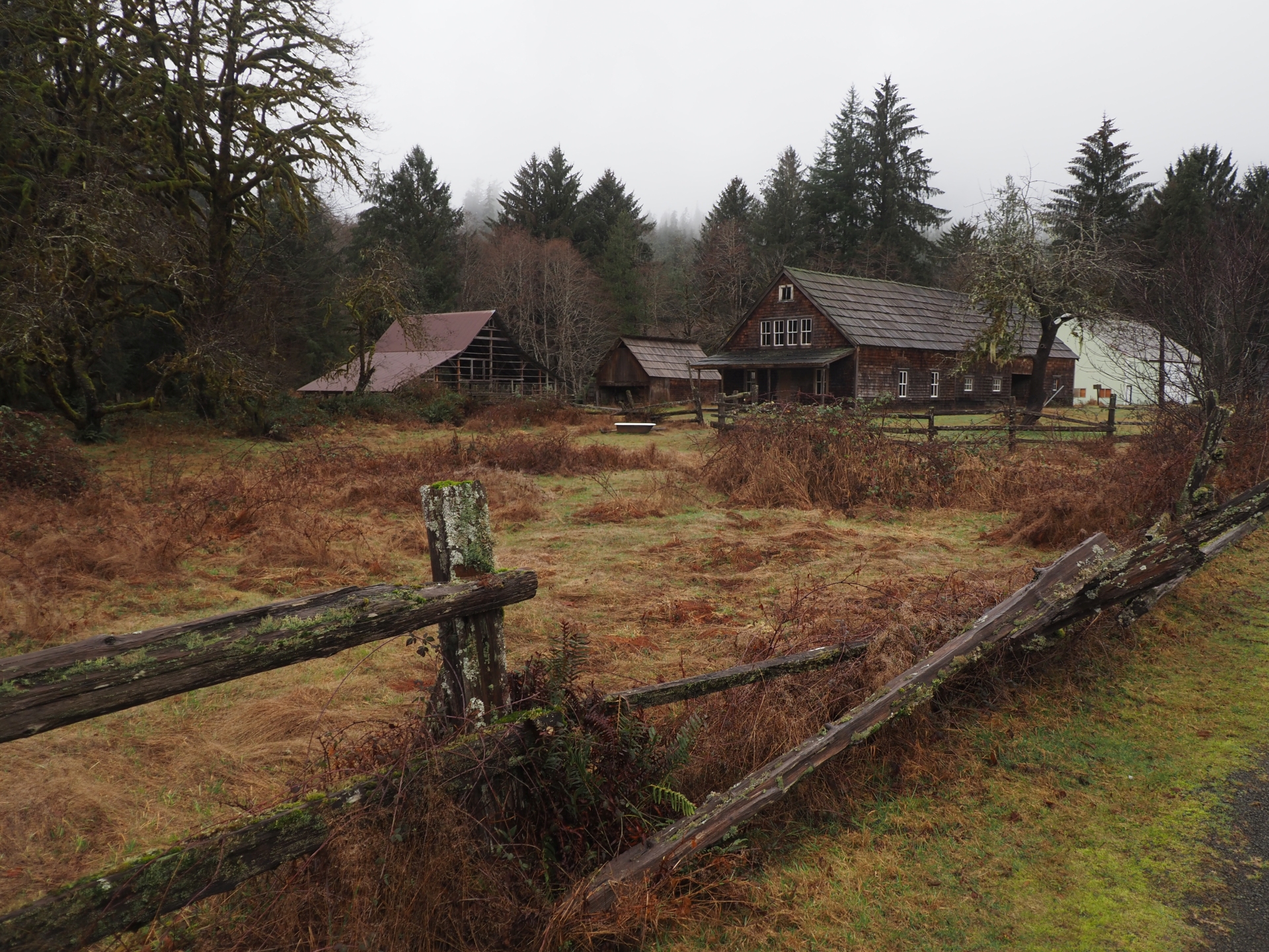
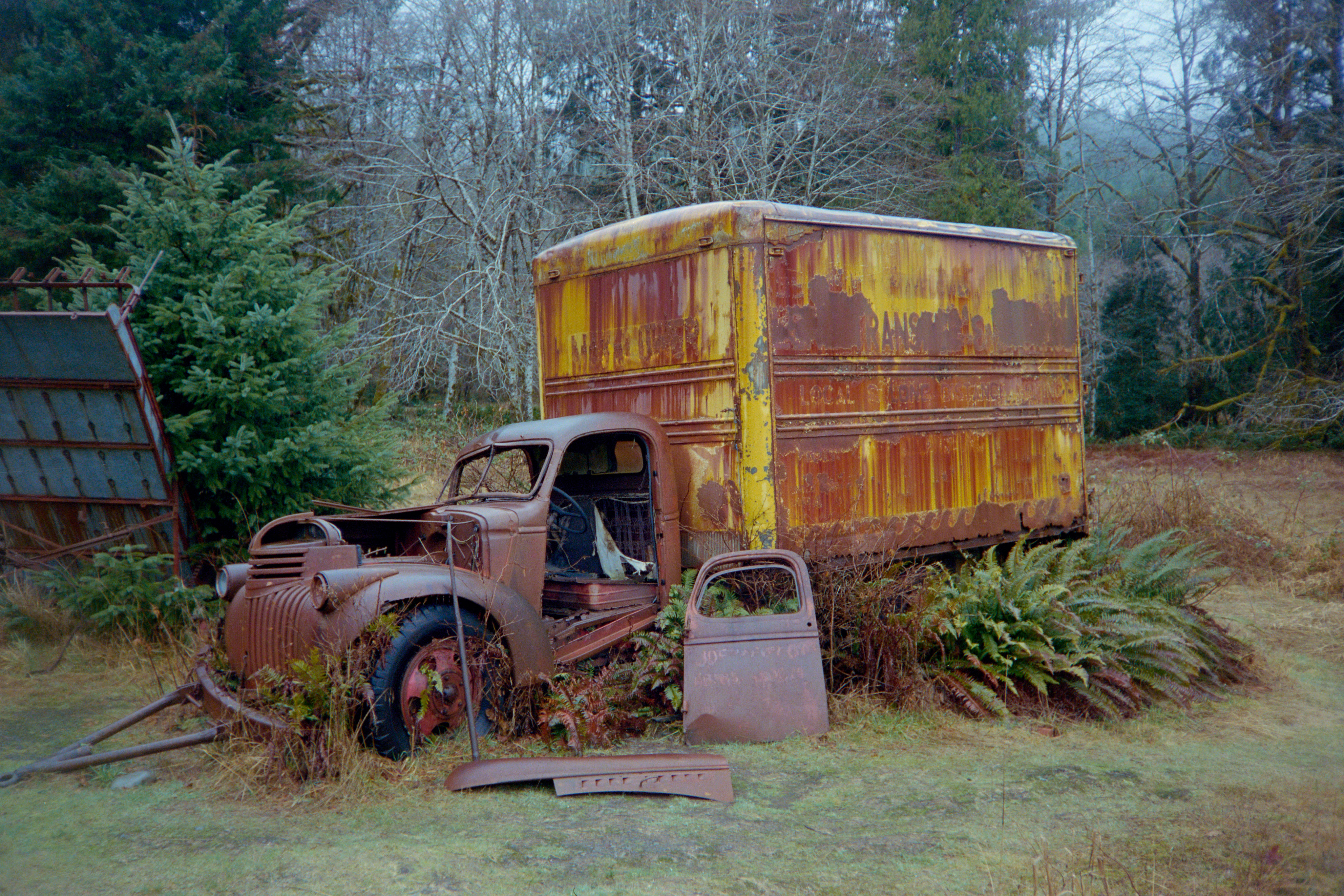
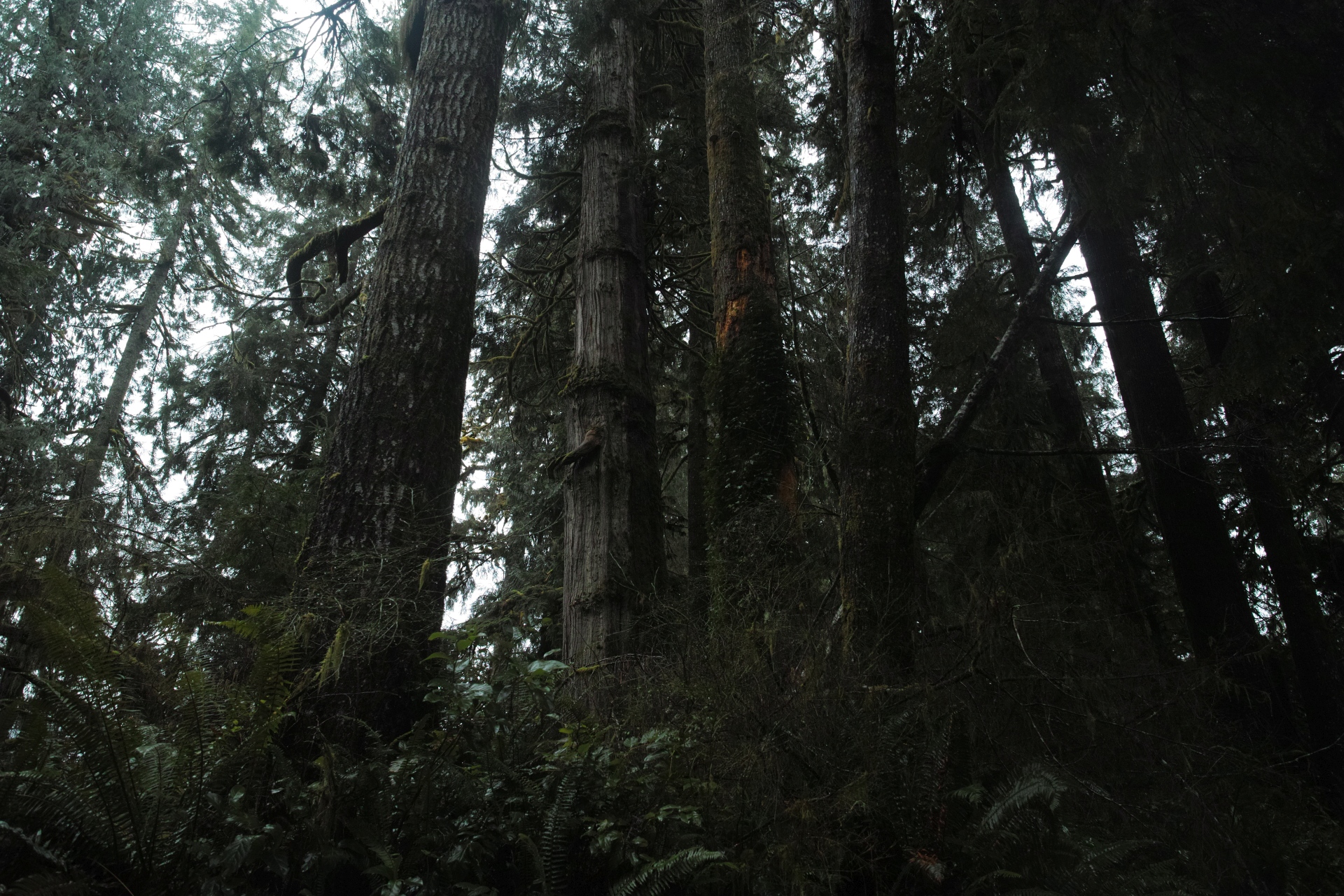
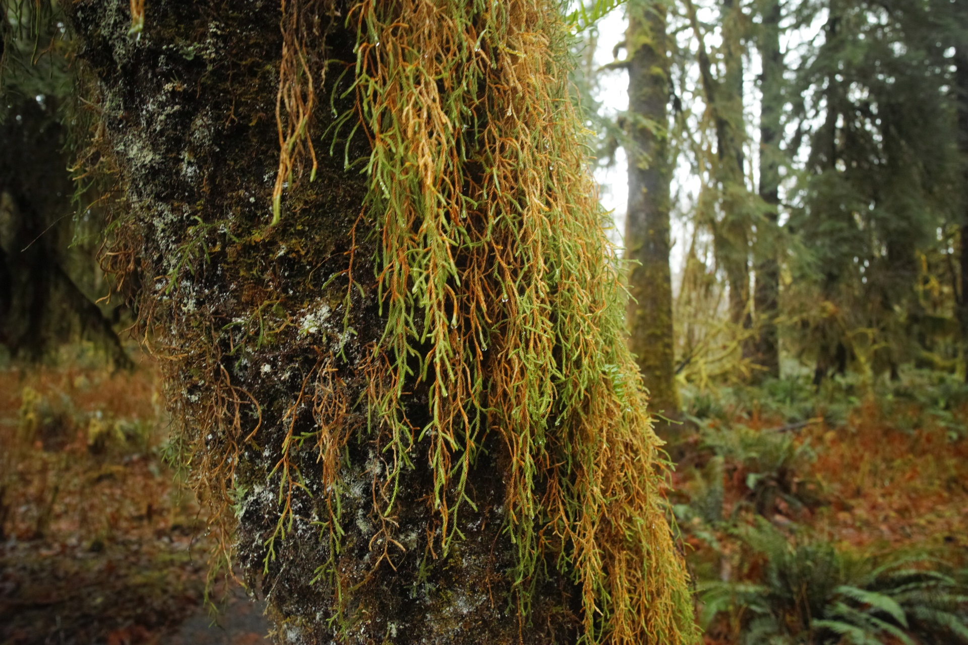
Though homesteading may not have taken off as an industry, logging surely did. Though the Quinault Rainforest may be home to a record number of large trees in a small area, certainly the area around the Kestner Homestead is second growth. You’ll note that some of the gorgeous, mossy trees in my pictures are rather skinny.
The fact that homesteads never took off here is a good one. Though the Quinault Nation may no longer have the rights to all of their ancestral lands, their borders have expanded since the original treaty, and they do still count themselves “among the small number of Americans who can walk the same beaches, paddle the same waters, and hunt the same lands our ancestors did centuries ago.”
And, what I saw of their ancestral lands was stunning.
As I continued along the lake, the road became narrower and harsher, but still easily traversable by any standard car.
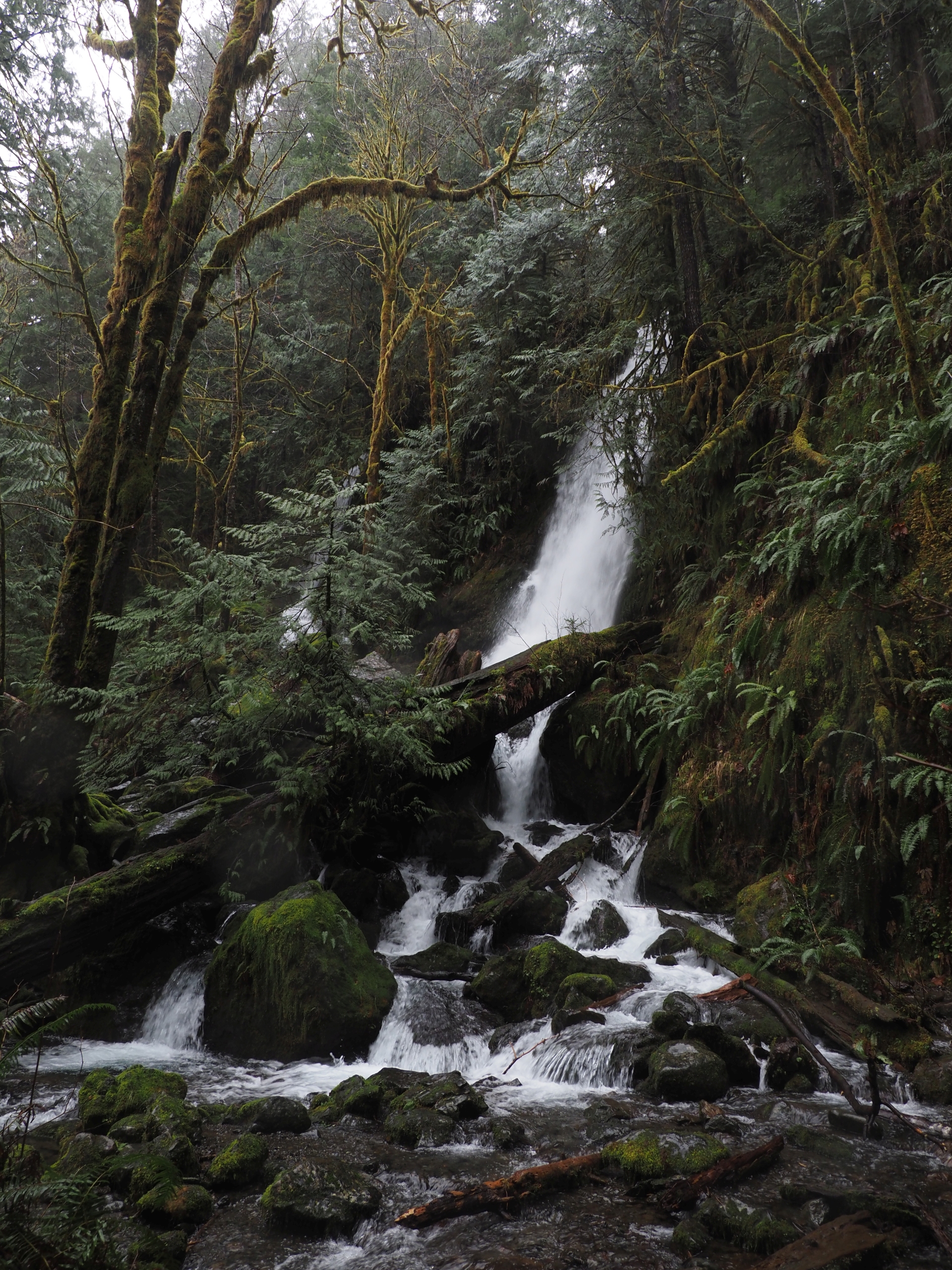
The main attractions on the other side of the lake were two waterfalls.
Bunch Falls
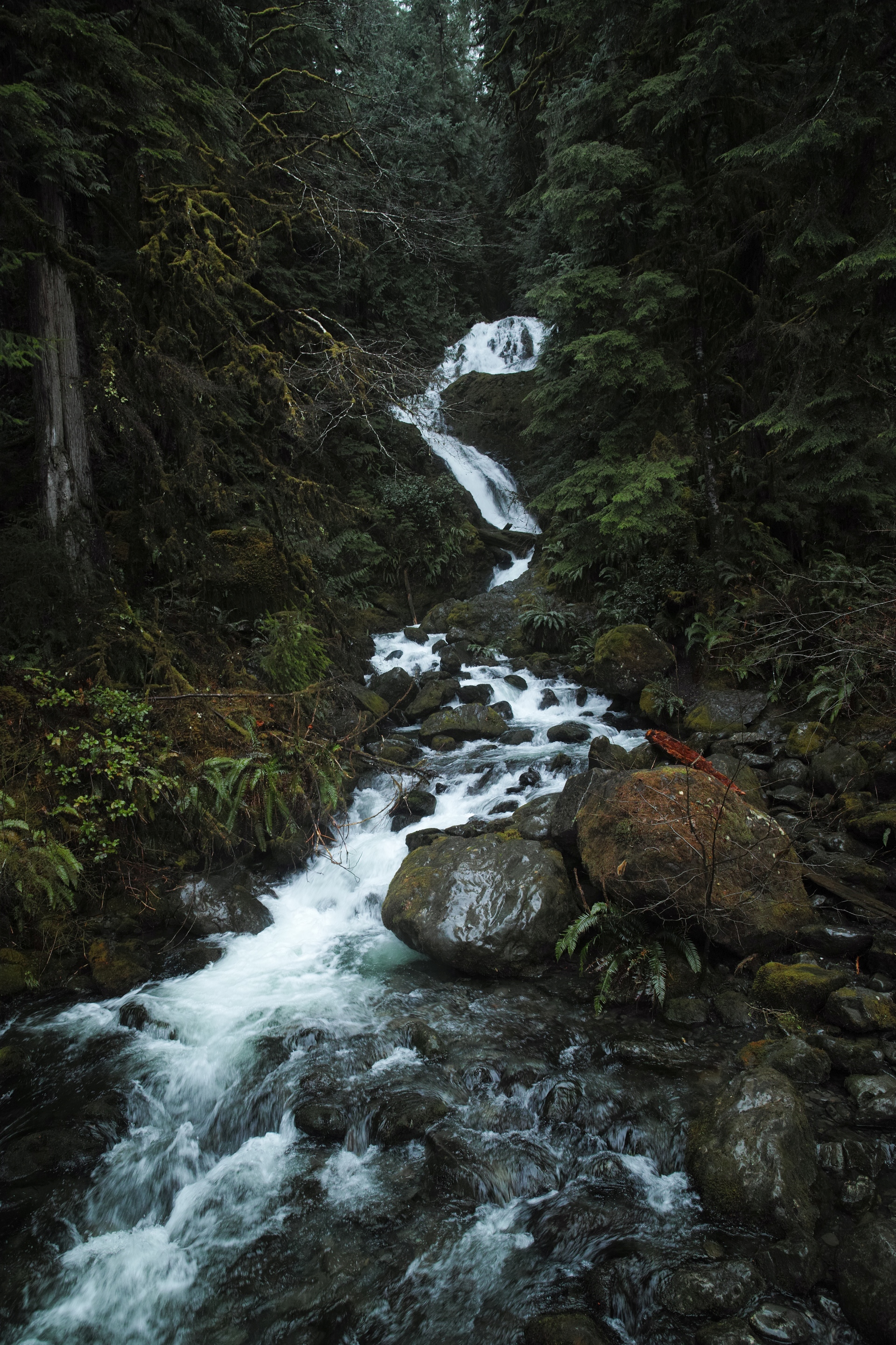
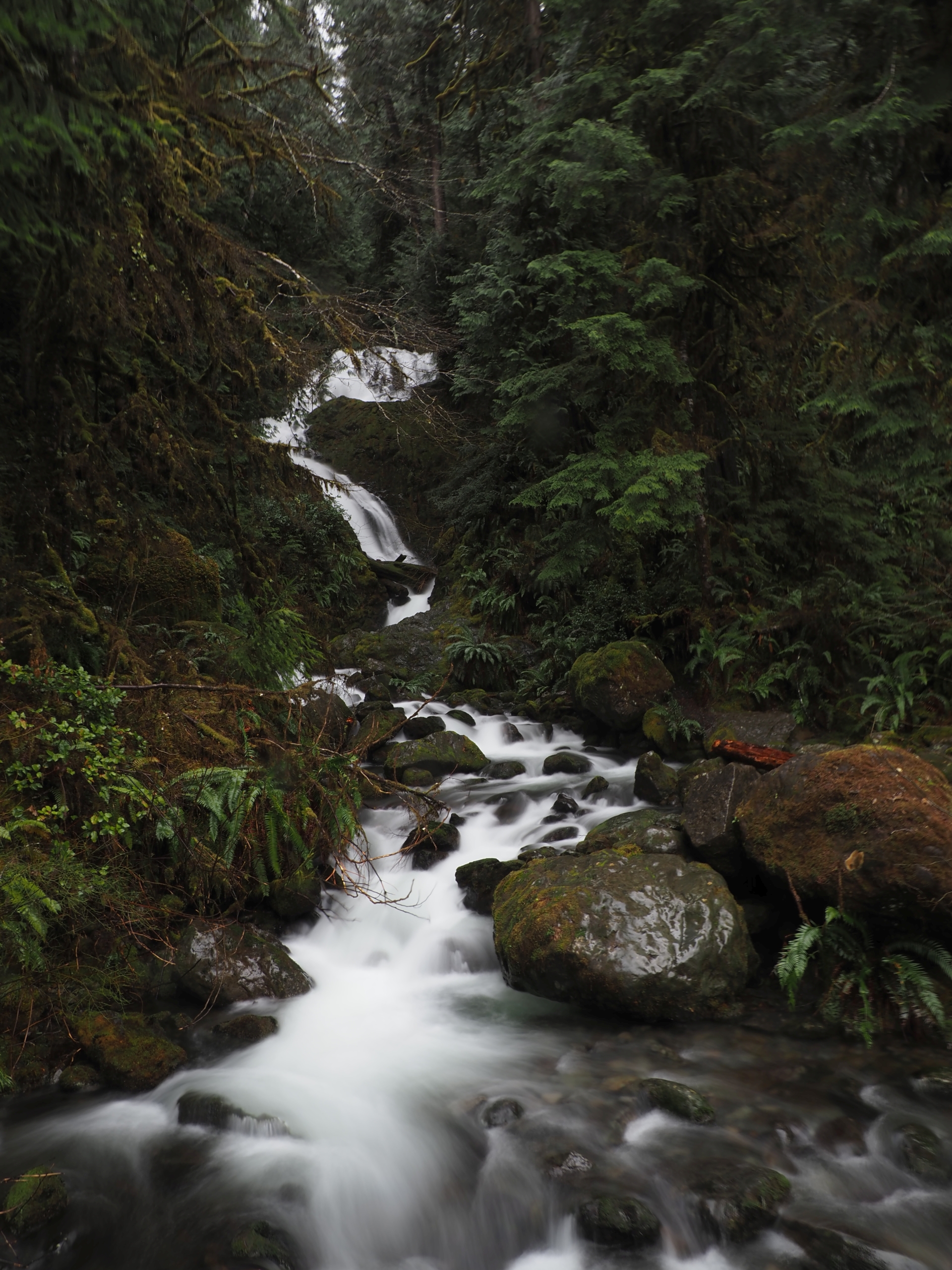
and Merriman Falls
After my drive, I returned to my hotel. To work.
I wanted to paddle around the lake for a bit, but owing to the ever increasing cloud cover and drizzle, I decided that I’d rather stay inside, warm and dry than get wet.
So, I microwaved a frozen pizza, and daydreamed about what a summer day could have brought me instead.
Sources
- Evans, Gail H.E. - Olympic Historic Resource Study - Chapter II. HARD WORK AND SHATTERED DREAMS: SETTLEMENT - nps.gov
- MacDonnell, Jake - “Division and Restoration: A Brief History of Forestry on the Quinault Indian Reservation” foresthistory.org
- Quinault Nation - “About Us” - quinaultindiannation.com
- Kestner Homestead, National Register of Historic Places Registration Form - npshistory.com
Thanks for reading!
If you enjoyed this post, you might enjoy these 5 similar posts:
- 2022-01-23 —Left Tailrace
- 2022-09-22 —Rearguard Falls & Chun T'oh Whudujut Ancient Forest
- 2022-07-01 —My Little July Weekend at Olympic National Park (2019)
- 2022-09-29 —Prince George Act III: The Central B.C. Railway and Forestry Museum
- 2022-09-09 —Dead-End Detour