Frosty Franklin Falls
✍️ • 🕑 • waterfalls • snowy hikes • road walking
Sometimes timing is everything.
Wintertime visitors to Franklin Falls need to be aware of a few things when they plan their visit. In particular it would be ideal to time a visit around three things: avalanche risk (undesirable and potentially fatal), freezing temperatures (desirable), and crowds (probably undesirable but not fatal).
Provided you time it right, and you are equipped with microspikes or similar, the hike to Franklin Falls is easy, fun, and rewarding.
Table of Contents
Parking / Routes
There are a few different ways to get to Franklin Falls in the wintertime. The safest and easiest is to start from the Ashael Curtis Sno-Park, and start walking from there, along the closed road that leads to the Franklin Falls trailhead.
To park at the Sno-Park, you technically need a special Washington Sno-Park Permit, which costs $25/day or $50/year. Alternatively, I believe there is some non-Sno-Park parking on the other side of the Interstate that could be used if you cross over.
A route hiking down from the Snoqualmie Slopes is an alternative way to reach the falls, though it seems more treacherous and more suitable for snowshoers.
| Trail Information | ||
|---|---|---|
| Name | Franklin Falls (Including Winter Road Walk) | |
| Type | out and back | |
| Location | Mt. Baker-Snoqualmie National Forest | |
| State | Washington | |
| Miles | 3.65 | |
| Total_miles | 7.1 | |
| Check out the trails index for information on more trails! | ||
Road Walking
Chelsea & I started from the Ashael Curtis Sno-Park, permit receipt displayed in my windshield. 🙄
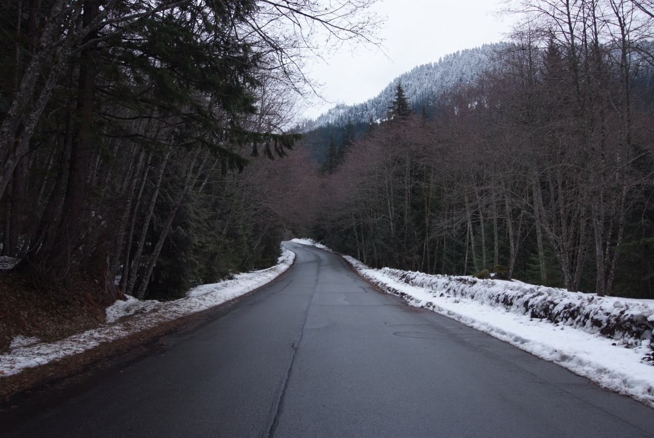
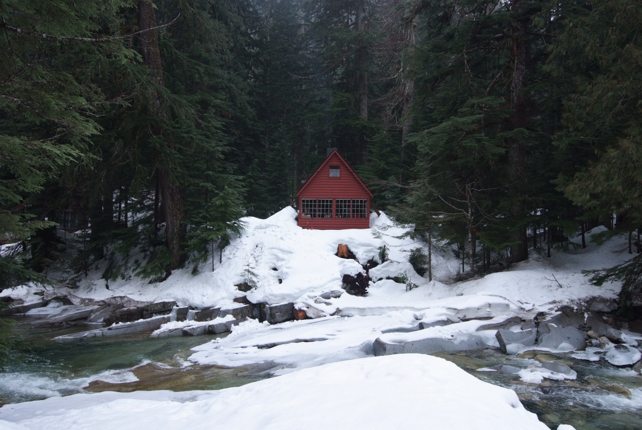
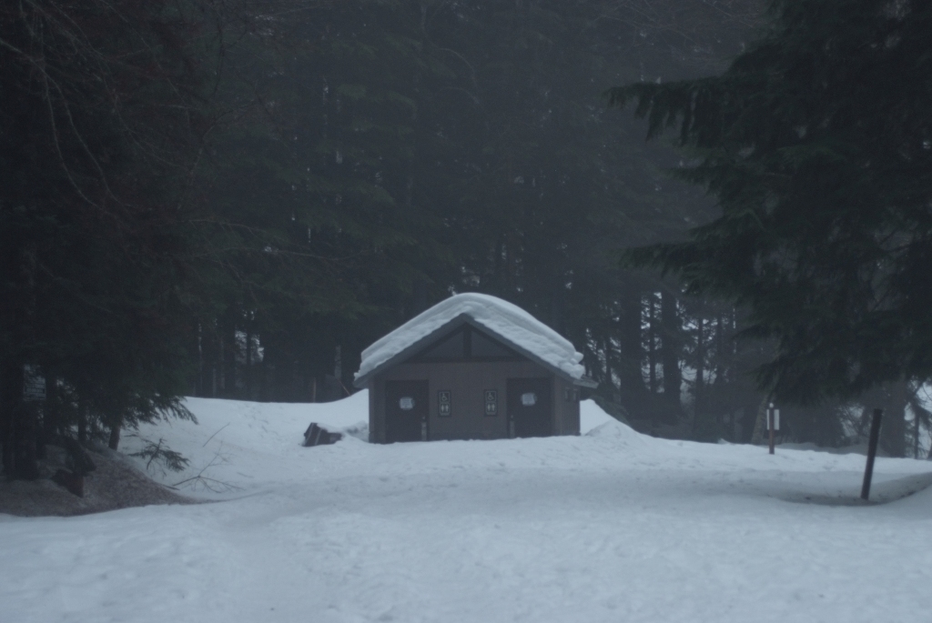
From there, the “closed” road was surprisingly clean. The reason for this is that there are a few residences along its length, properties festooned with “NO TRESPASSING” signs and no parking signs.
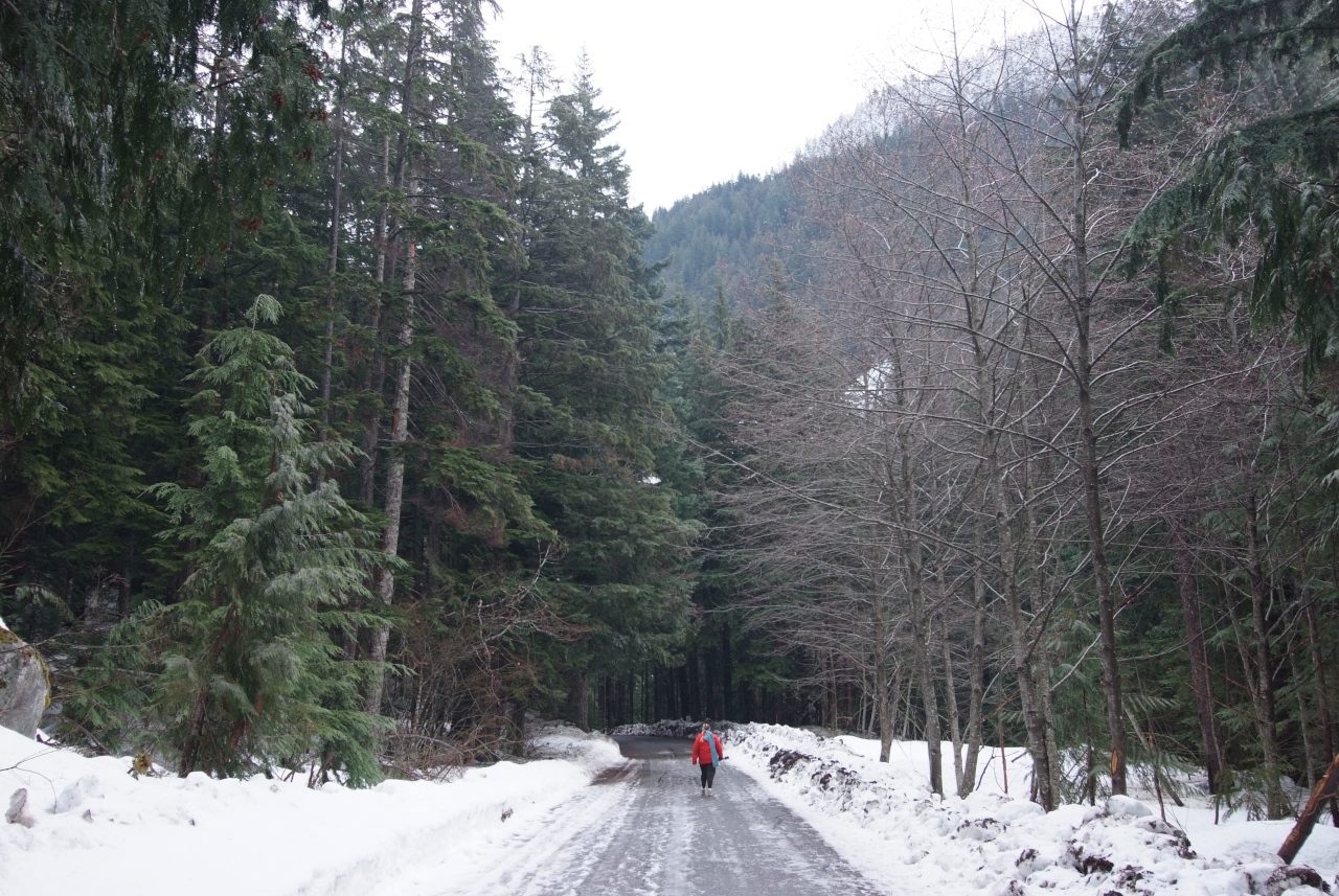
One cabin had a sign proclaiming that they were part of the neighborhood watch. “If I don’t call the police, my neighbors will” the sign explained. “What neighborhood?” asked Chelsea. A fair question. Unless their closest neighbor had binoculars pointed their way, I don’t think they’d notice anything.
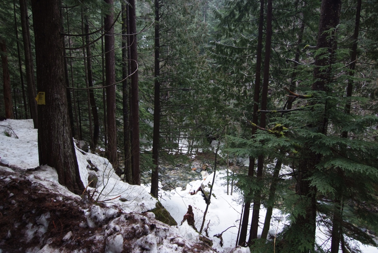
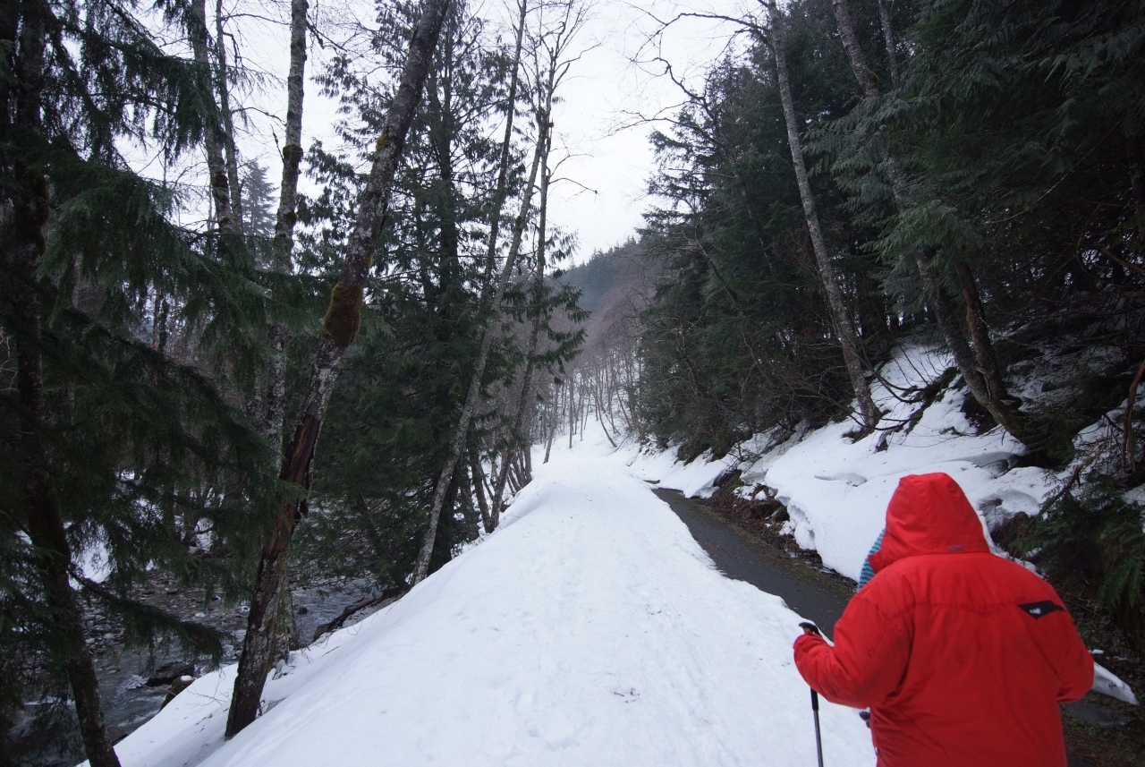
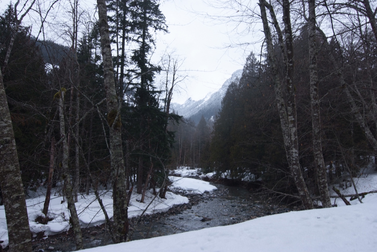
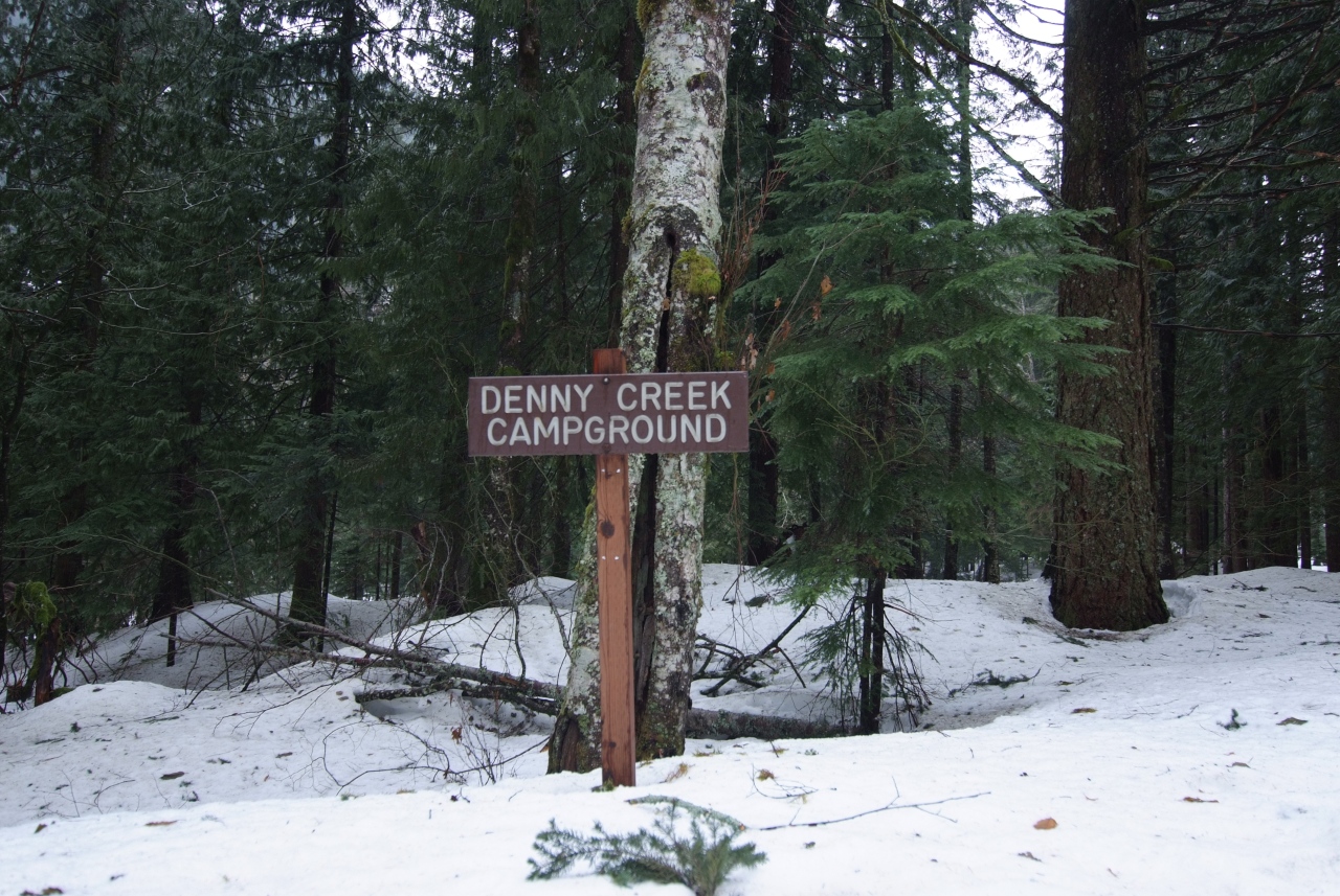
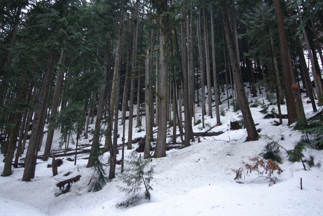
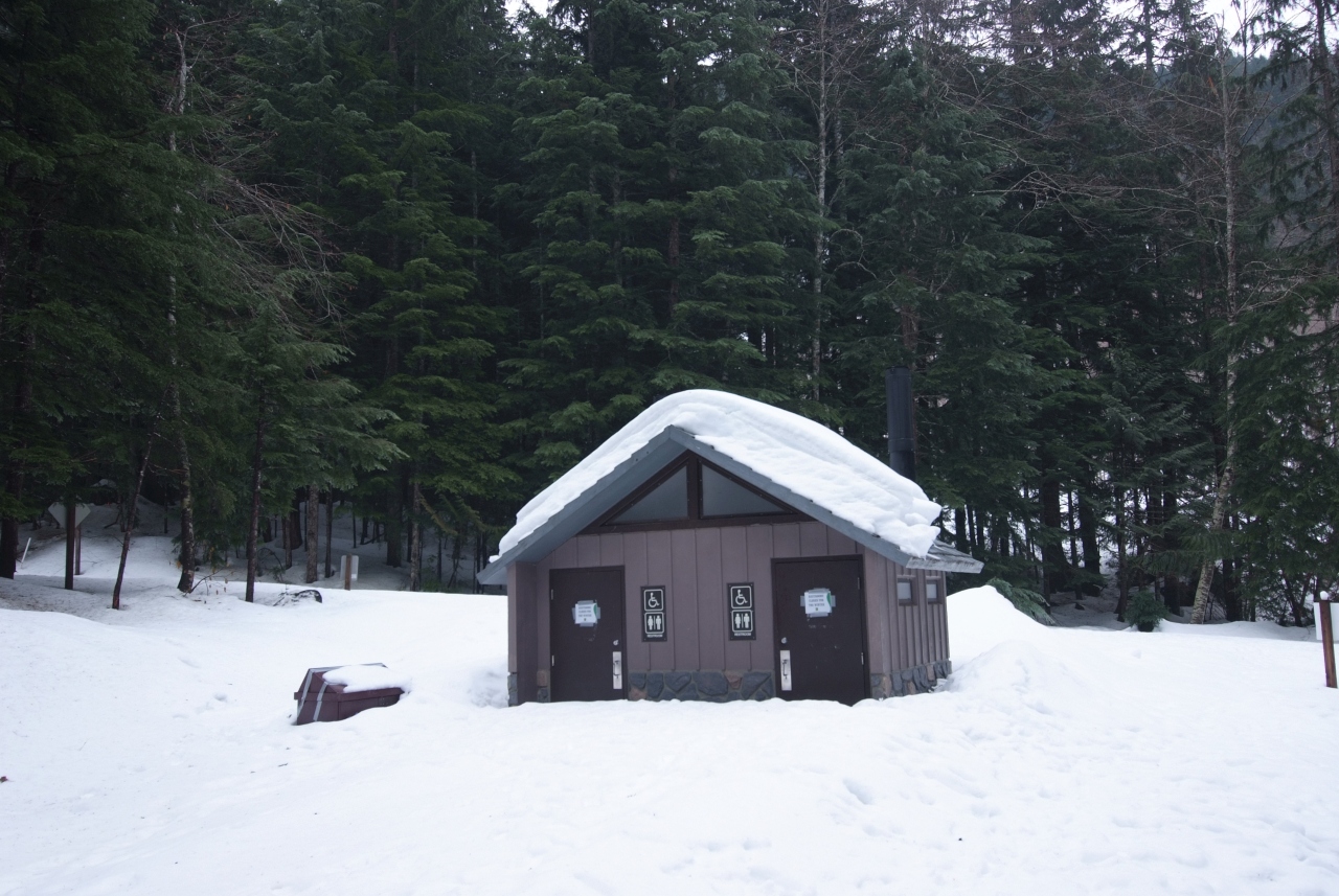
Anyhoo, the early section of this road is totally clean, easy to walk on. I’m sure it could be icy, but it wasn’t. It’s very obvious where the residencies end and the road is truly unmaintained. At that point, Chels and I donned our spikes and continued, past a closed snowy campground, until we reached the actual trailhead.
This road walk is about twice as long as the trail proper.
The Three Things You Should Time Right If You Visit
As I mentioned in the intro, there are three things to time when planning a visit to Franklin Falls.
The first one of these is avalanche risk. Franklin Falls is effectively at the bottom of an avalanche shoot, so under the wrong conditions, it could be a very dangerous place to visit. So, before you go, check out the Northwest Avalanche Center’s forecast.
For us, risk was classified as “moderate,” meaning that naturally occurring avalanches were unlikely, though human triggered ones were possible. The website also showed what to look out for when assessing avalanche risk under current conditions, and was definitely a good pre-hike read.
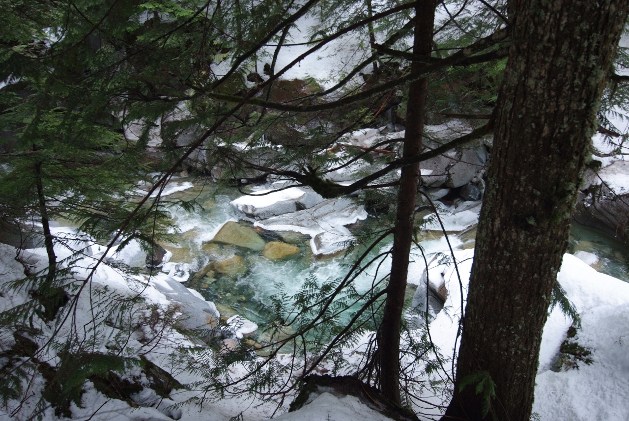
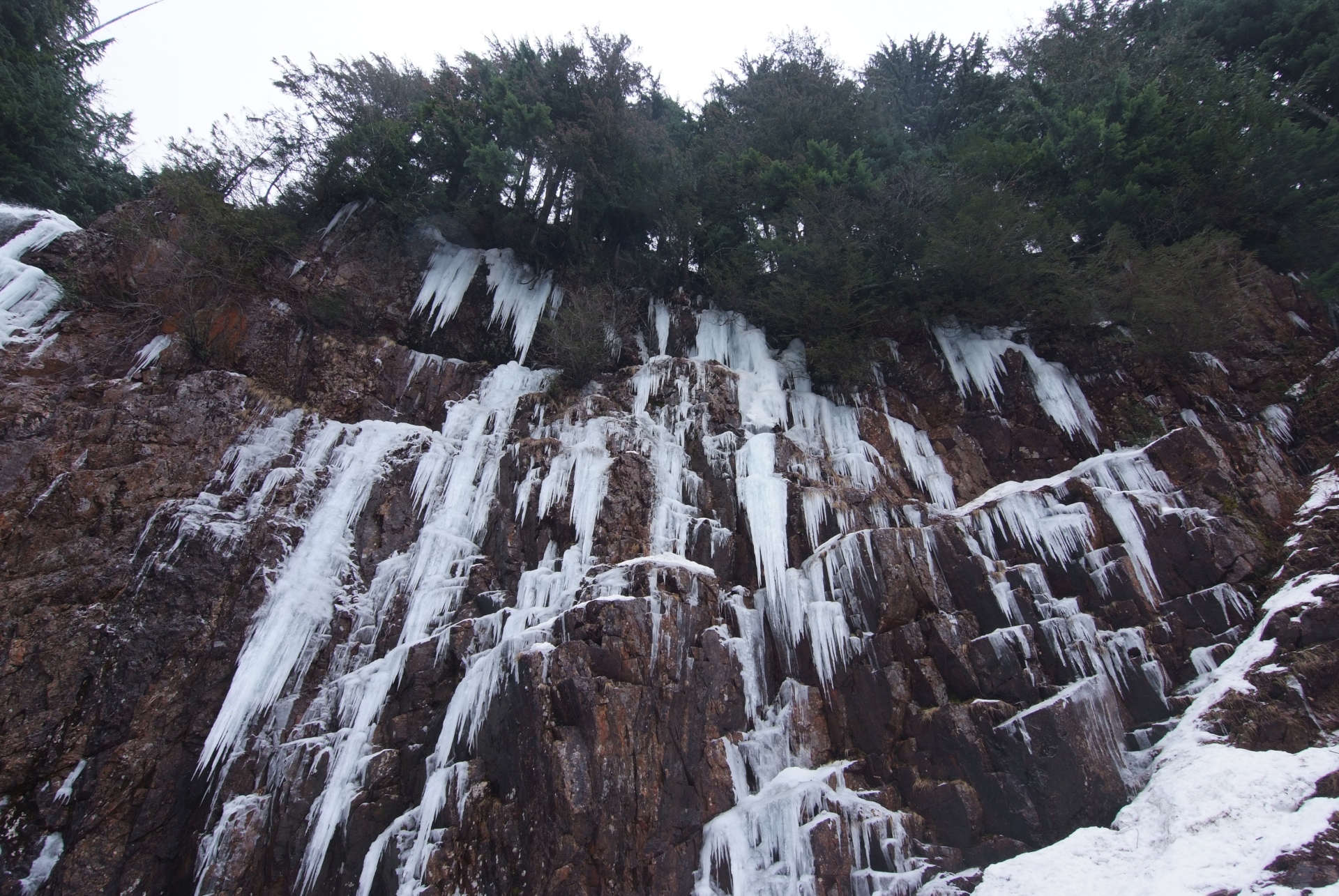
The second thing to try to time is the weather. The waterfall is famous for freezing in the winter. We had a stretch of especially frigid days in the last week of January, but unfortunately some warmer weather after that. From others’ reports and photos, I thought it likely that the falls were still frozen, but alas, we did not time that aspect right.
The last one of these aspects is crowds. Despite the risks, and an unusual parking situation, the falls are a very popular site in the wintertime.
Chelsea and I carpooled to the falls and got there some time around 8AM on a Sunday. We were the third car in the lot. We ambled to the falls, enjoying the scenery. Our pace could not be described as “brisk”, and yet, we somehow managed to pass only one couple, coming back from the falls. When we descended, we had the falls to ourselves for a solid twenty minutes. It was only when we started climbing back up that we encountered a gaggle of visitors, and we continued to pass other people on our way back to the car.
The Falls
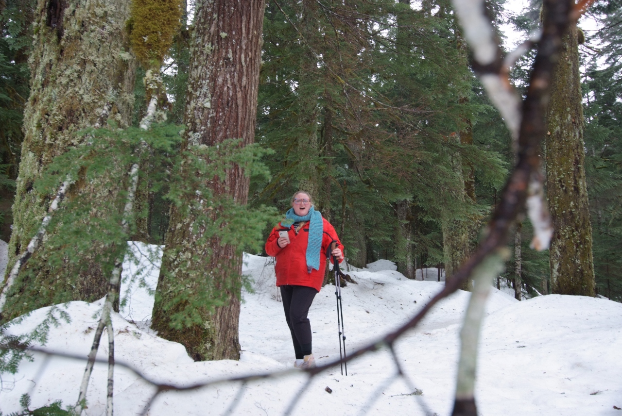
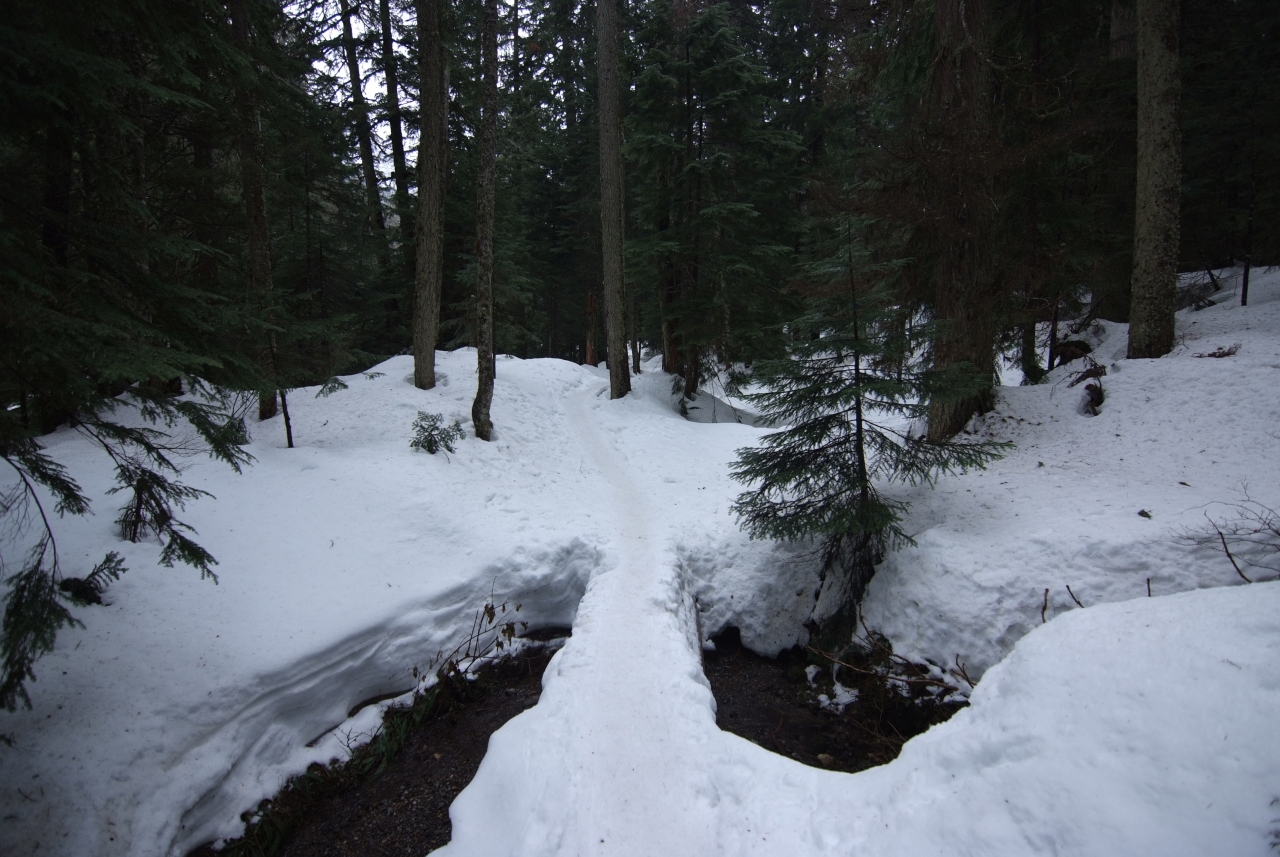
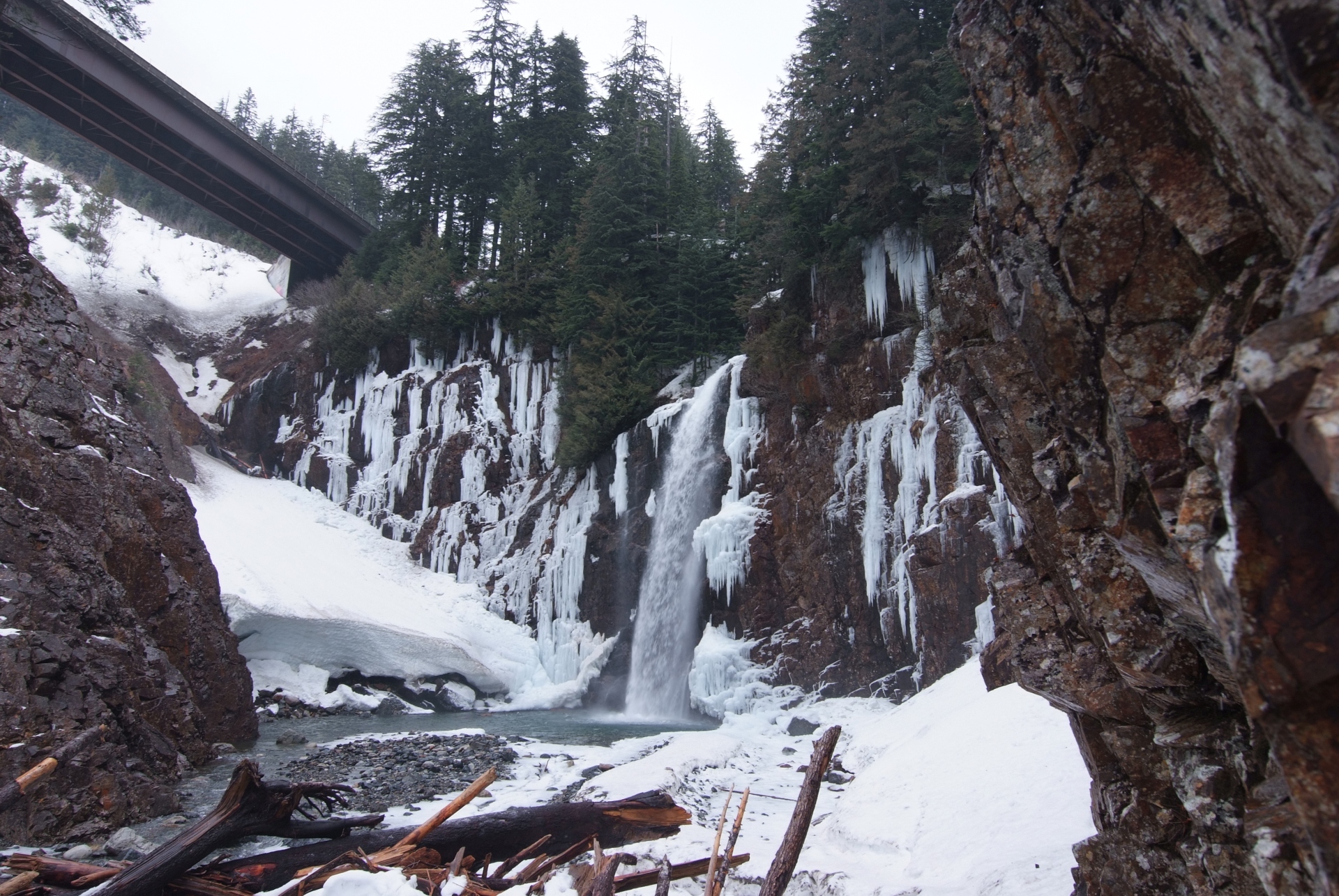
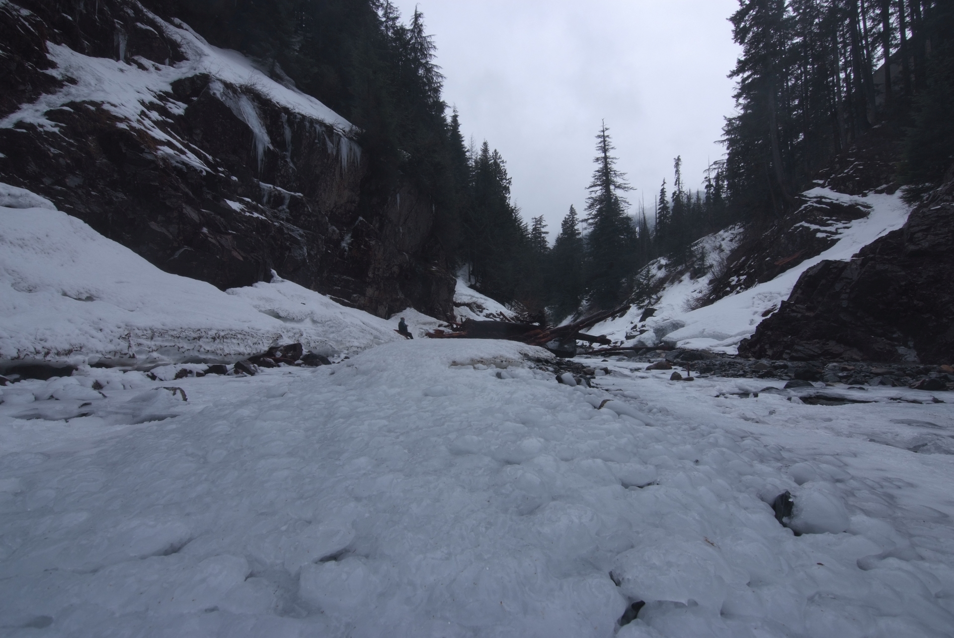
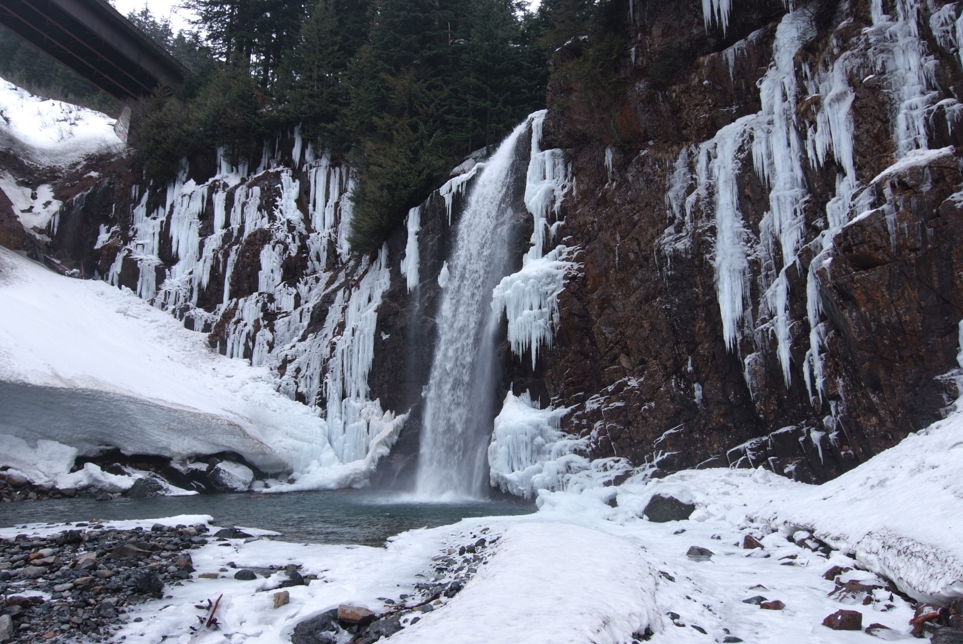
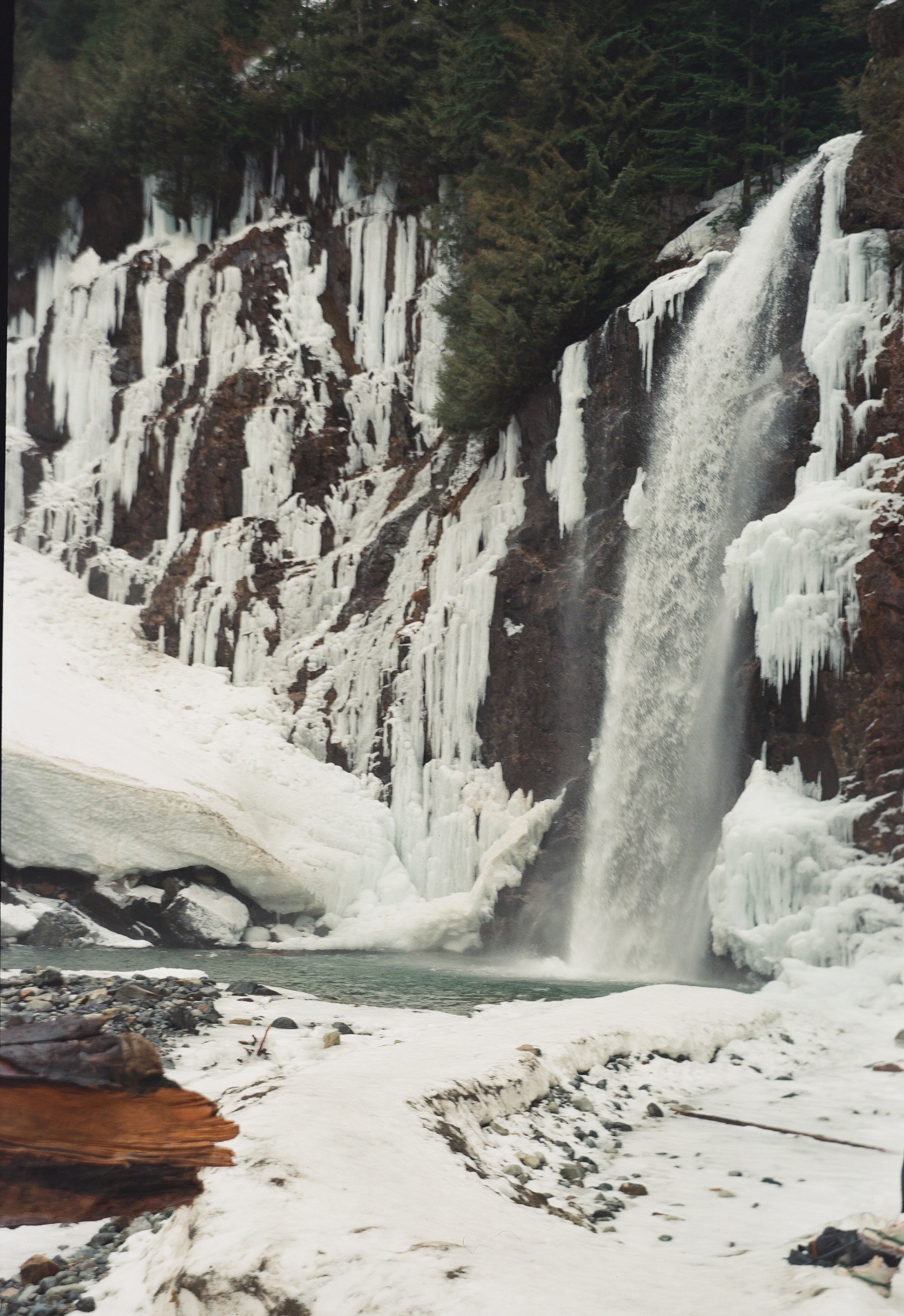
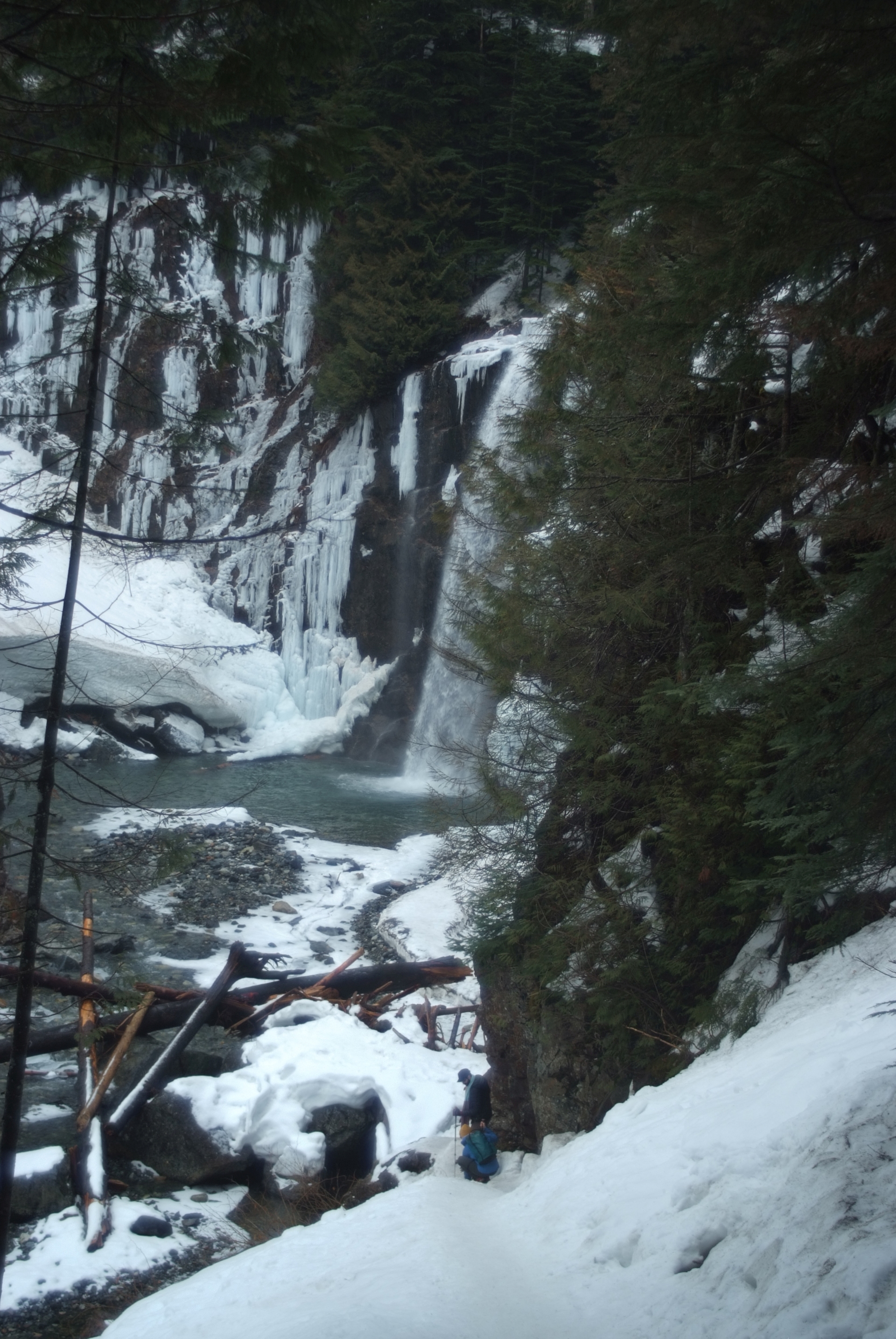
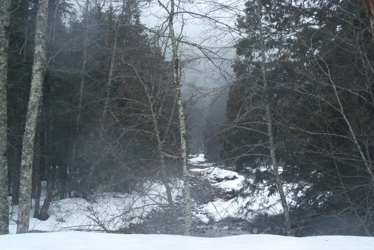
Once the actual trail began, it was easy going, except for the descent to the base of the falls – which was still easy going because we had excellent traction with the spikes on. The trail climbs a mere ~800 feet in about a mile, so it is quite moderate compared to many others in the area.
I was disappointed that we didn’t hit the falls while they were more frozen, but it was still a magical, beautiful view.

A Rainy Return
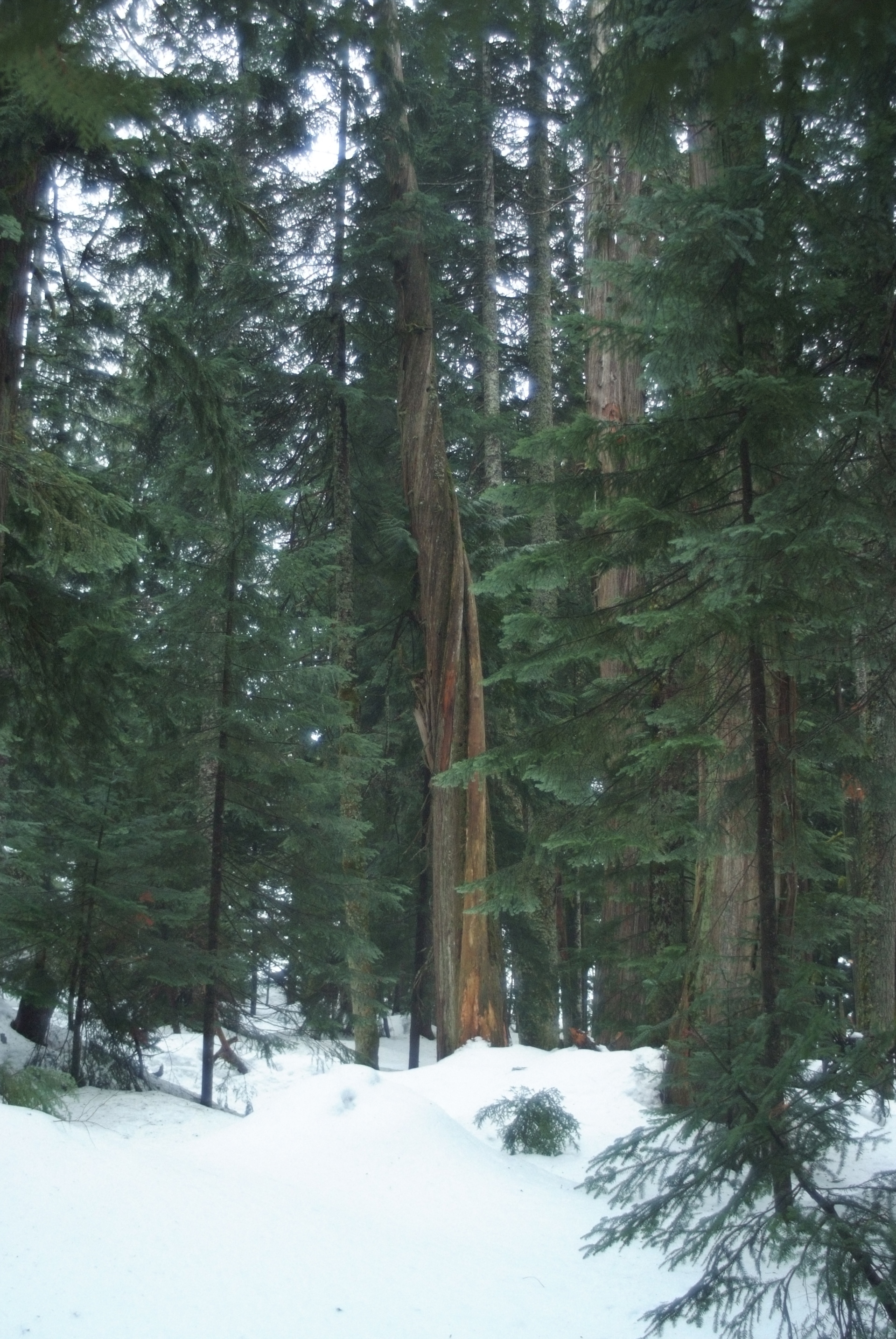
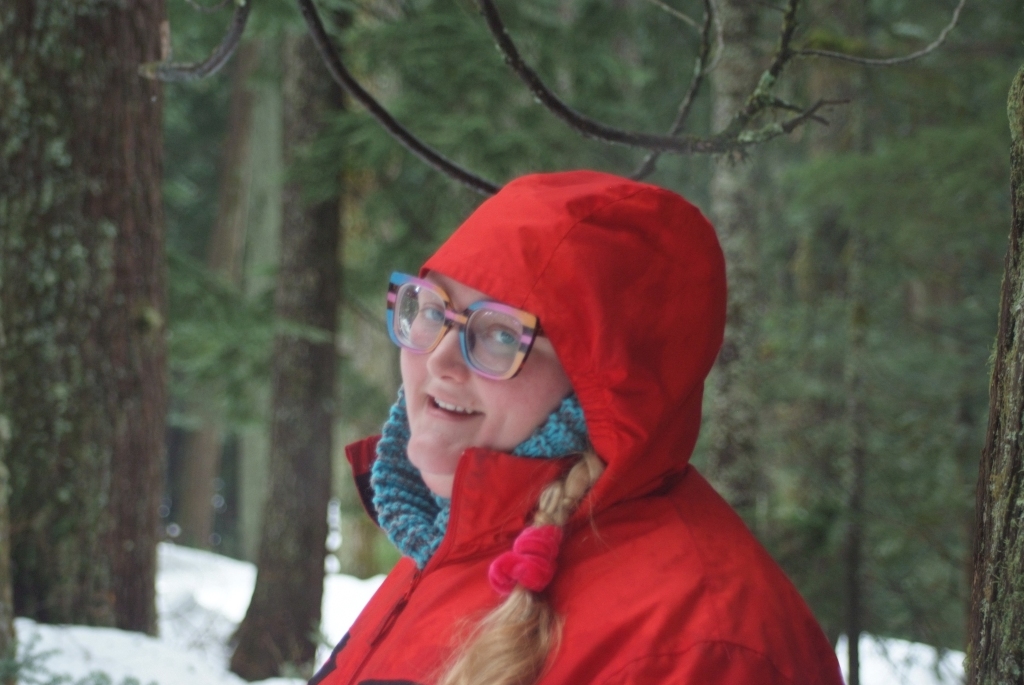
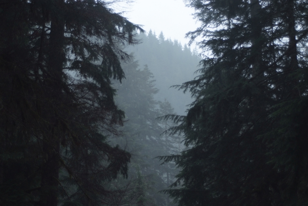
A little before we left, it started to rain, and clouds came in, obscuring the occasional views of the surrounding Cascades. On our walk back, we crossed paths with numerous other hikers, and some children and dogs, all headed to a place that we briefly had to ourselves.
Thanks for reading!
If you enjoyed this post, you might enjoy these 5 similar posts:
- 2023-07-22 —Feeling Lake 22
- 2022-03-10 —Garfield Ledge
- 2022-09-13 —The Helmcken Falls Rim Trail (A Great Day's Conclusion)
- 2022-12-29 —From Smoke to Snow
- 2022-08-01 —The One Trail I Hike With Colleagues