September and October were smokey months in Seattle. The Bolt Creek wildfire raged on. Air quality was not a priority in firefighters’ containment strategy, so capricious Washington winds filled the skies with haze, and my lungs with malaise.
I was looking forward to an excuse to get out of town.
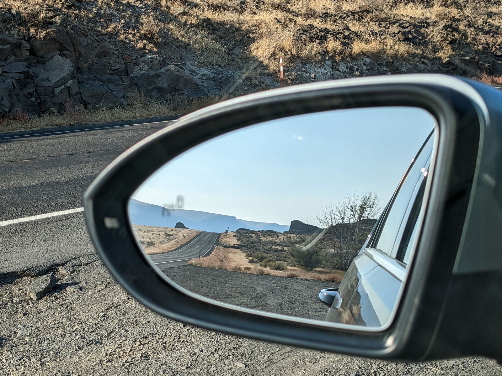
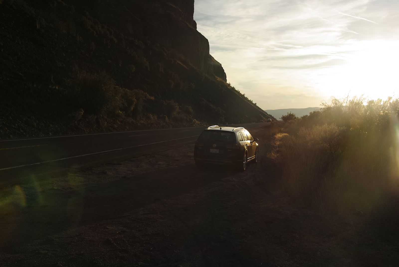
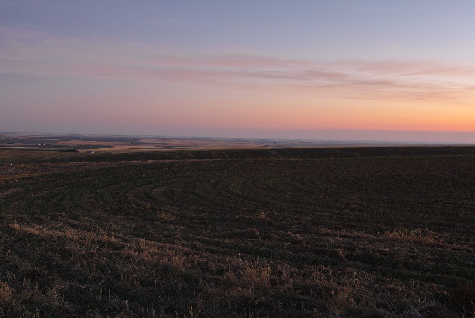
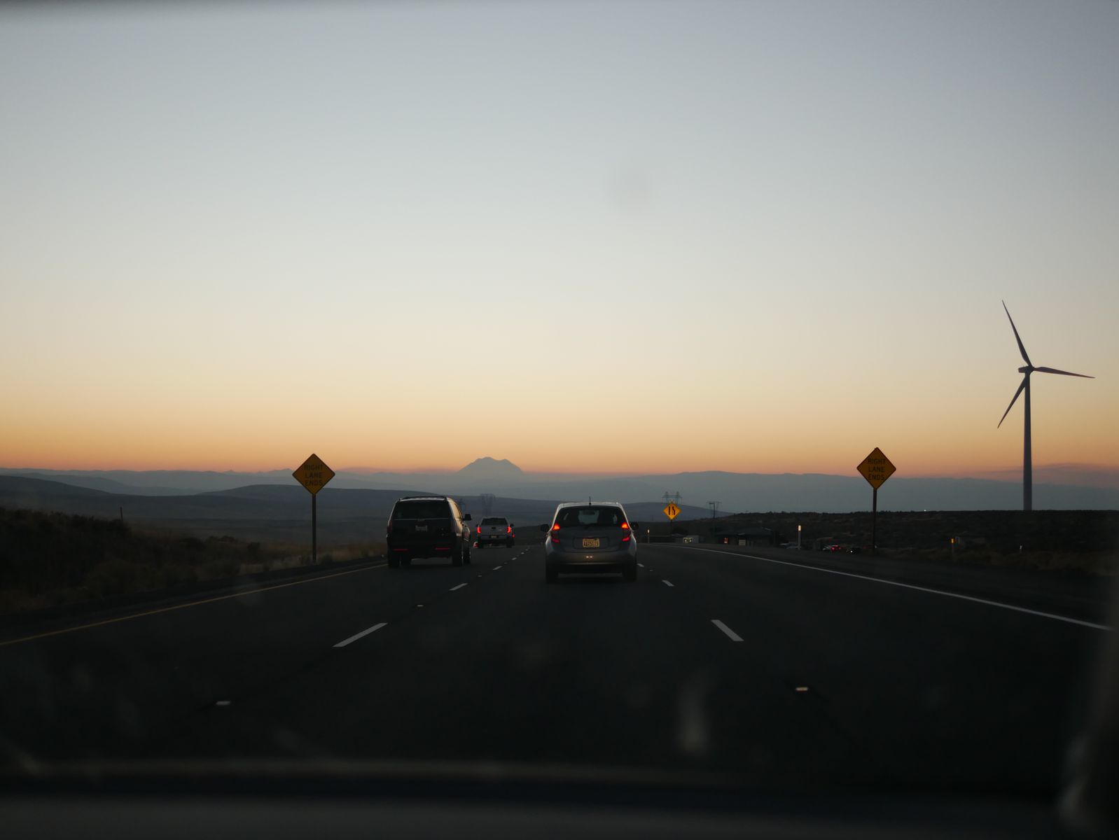
A view out the side mirror, somewhere between Soap Lake and Grand Coulee.open_in_fullinfo
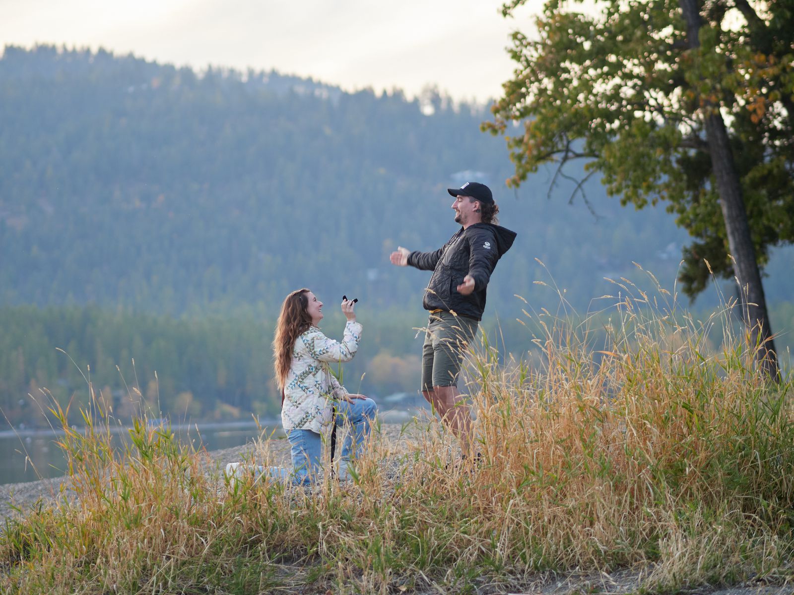
Meanwhile, two friends planned to buy an RV and embark on a cross-country road trip. Prior to their odyssey, a marriage proposal was planned. The location: the town where they met: Whitefish, Montana. For some strange reason though, Emi did not plan to propose to Jarrod at the precise location where they met: the Enterprise Car Rental.
I left Sunday, a week before, a day after some birthday party karaoke, and a day after saying goodbye to Spencer. As the week continued, I would balance fealty to my work duties with fun outdoor sightseeing.
Just as a general note to readers, this post covers visits to beautiful places across three states, in a week of time. As such, it is heavy on the images, and even though I’ve pared them down, 85 images remain. Please keep this in mind when loading and reading the full post.
(I probably should have broken it up, but I don’t think I’d have been motivated to stick it all up here if I did.)
This element did not display properly. Do you have JavaScript enabled?
This post covers a lot of ground in a short time. Here’s a lil map to orient ya. The start & end in Seattle are not marked on the map.
All map data generated by Where-Is-Steve is somewhat sketch & should not be relied upon in a life and death sitch.
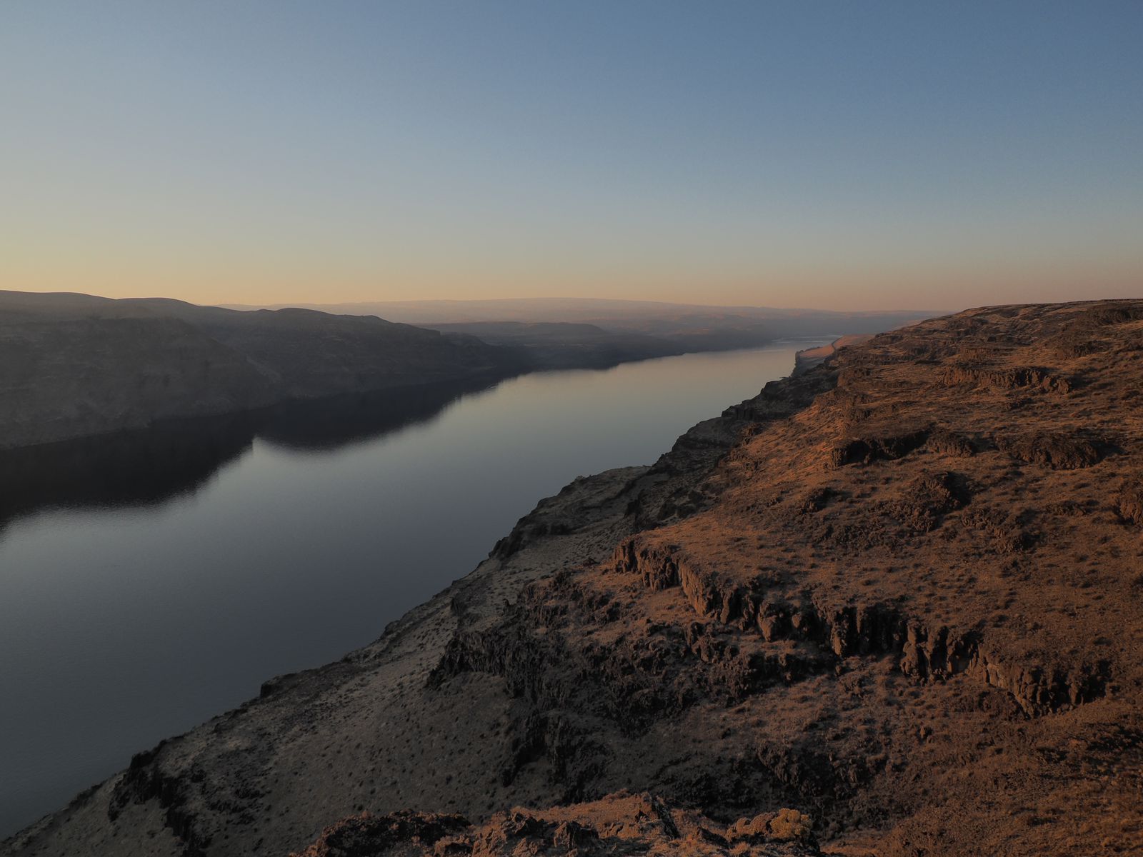
Cruisin’ the Coulee, or Scablands Speedrun
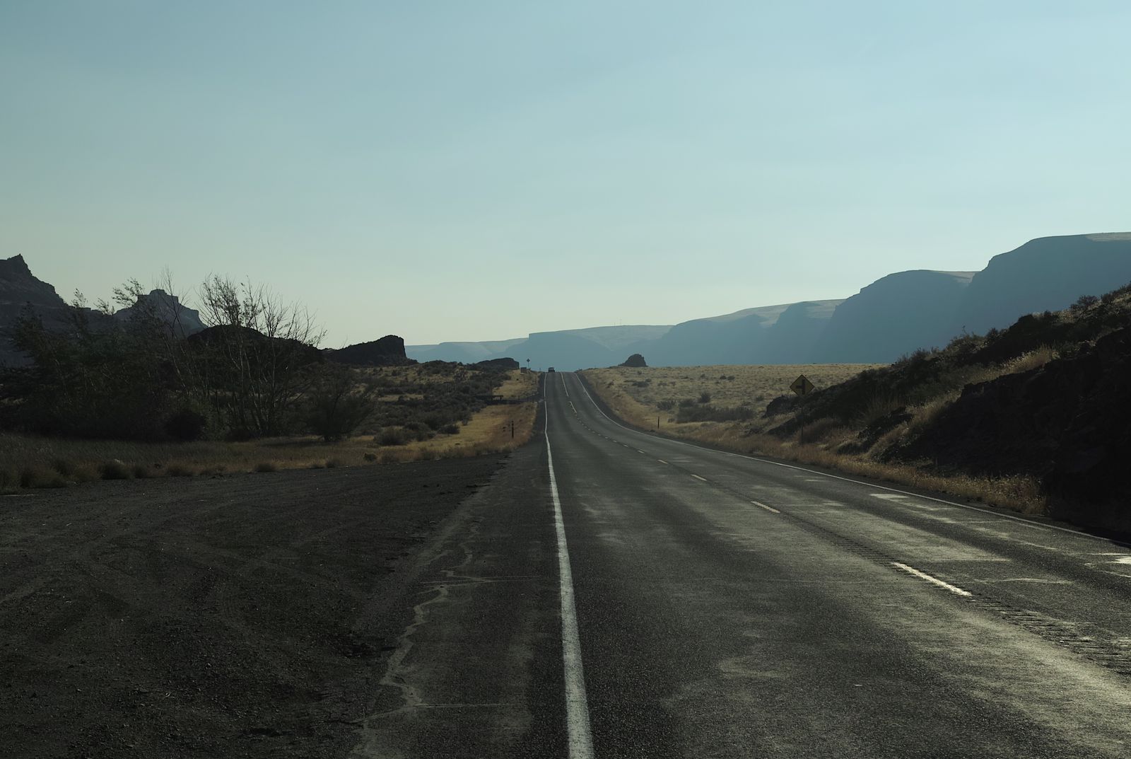
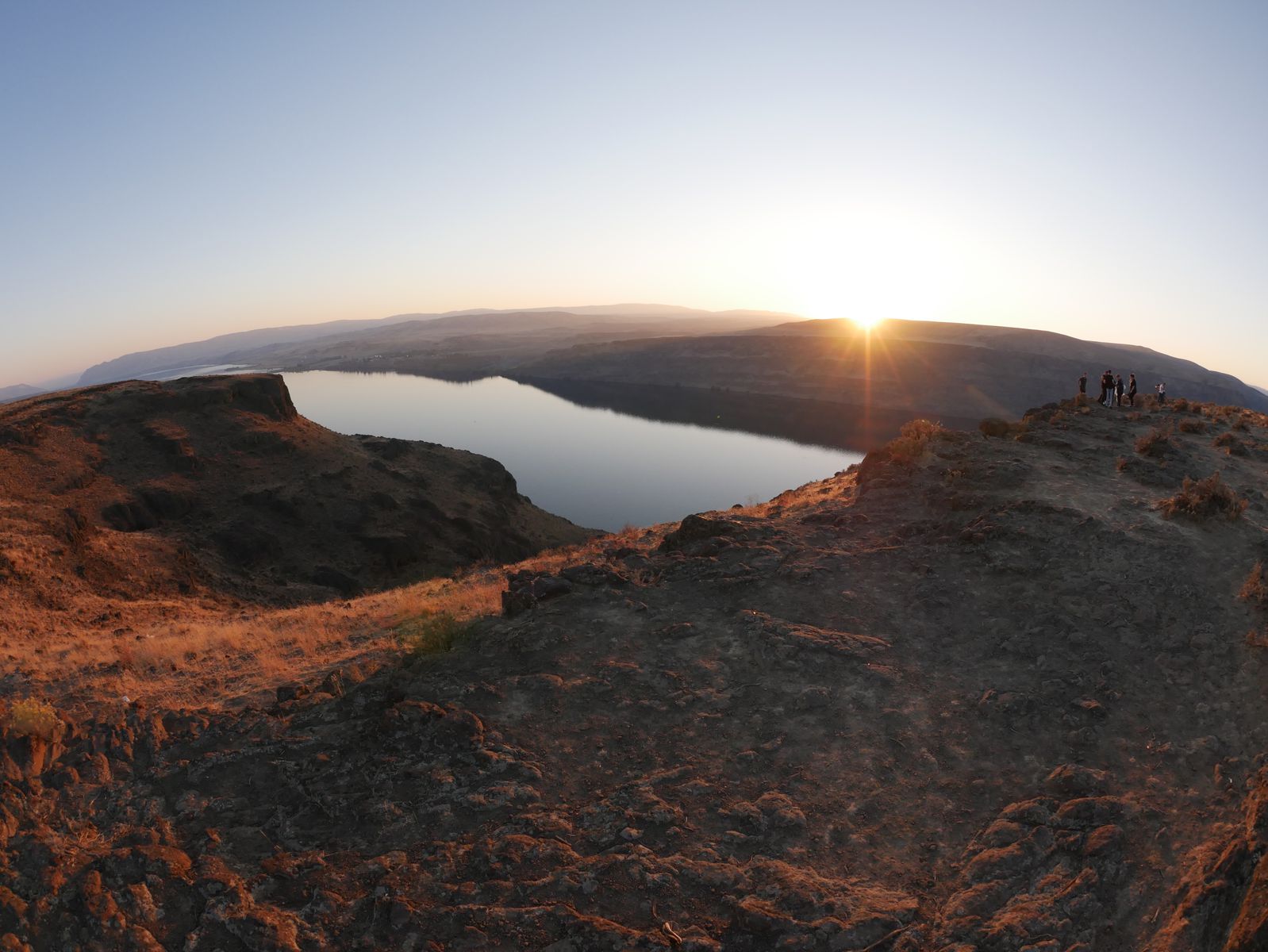
On my way out, I was eager to stop by some sights in Eastern Washington, whose desert environ stands so starkly different compared to the wetter wester regions.
Geologically, these areas are part of the channelled Scablands, formed by ridiculously enormous ice age floods.
The main thing that I didn’t realize, is that I managed to make quick stops at pretty much all of the most famous Channelled Scablands highlights, except, I wasn’t able to spend long enough at them because I got a late start and had to drive still further East. Thus, “speedrun” in the section heading.
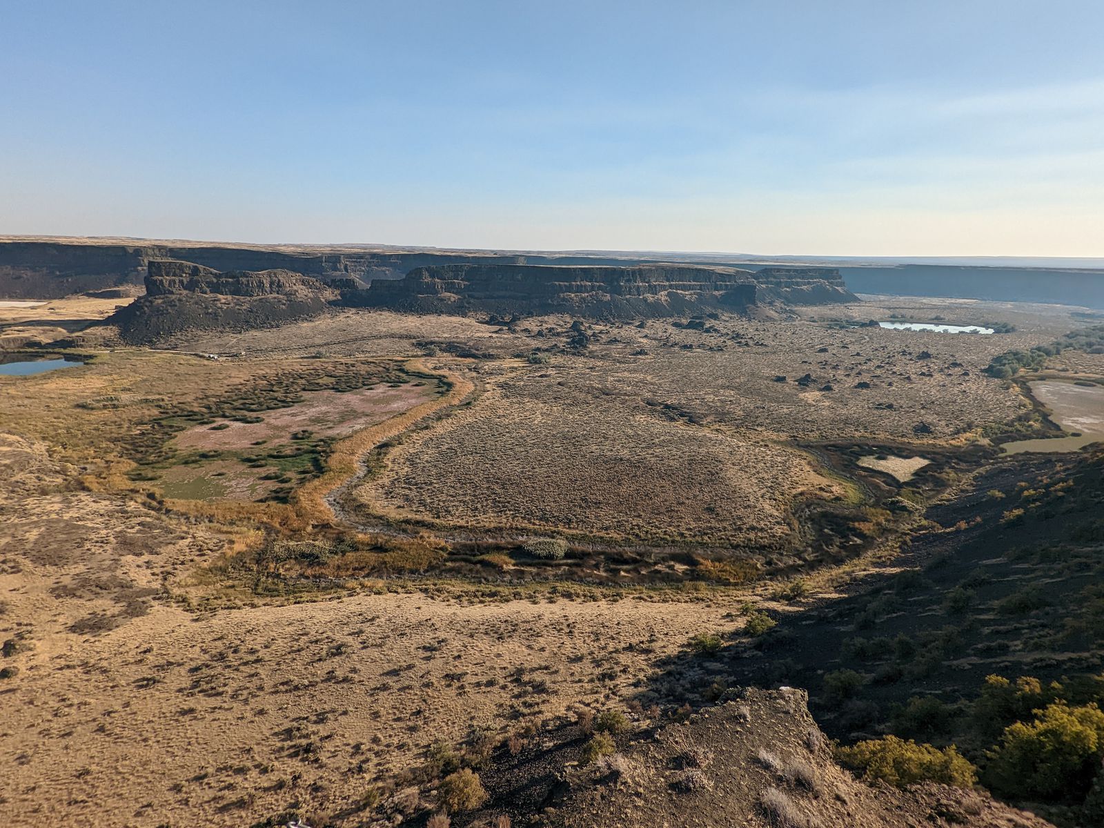
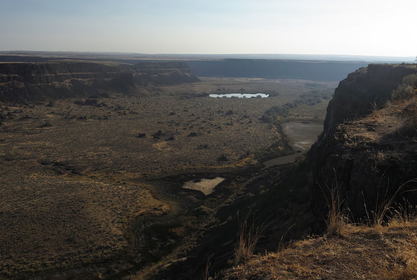
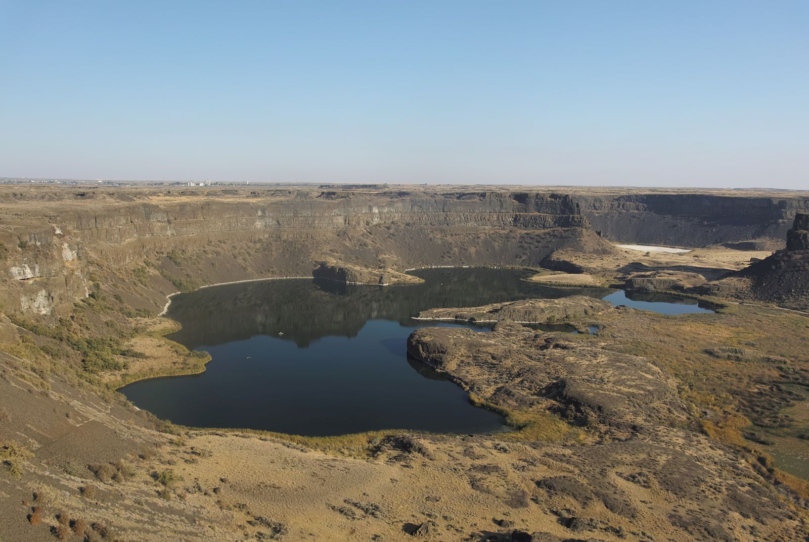
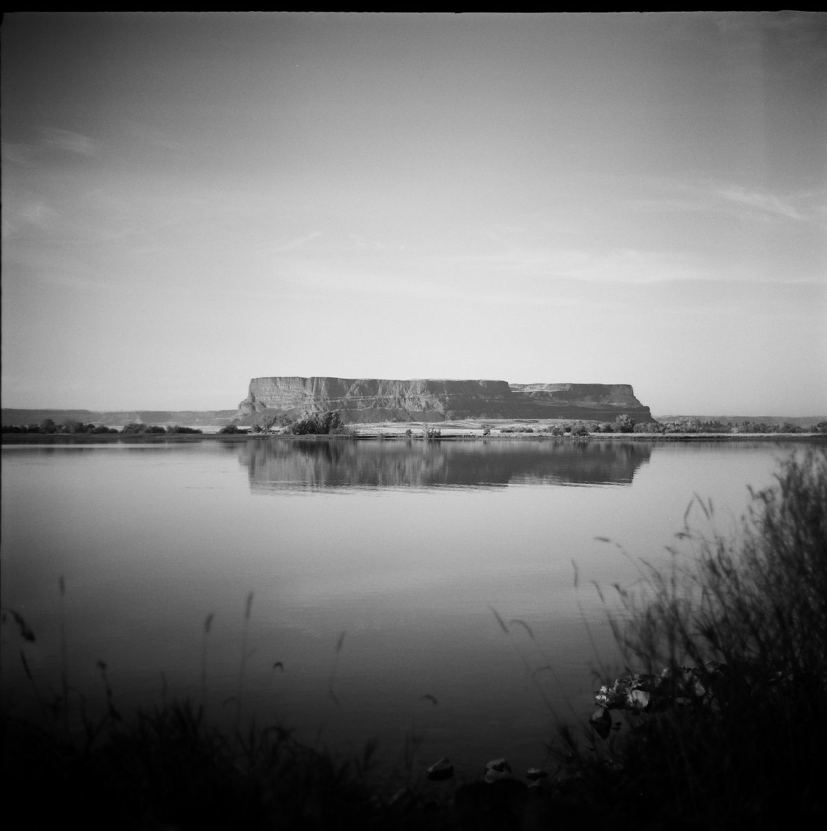
One of the famed viewpoints is Dry Falls State Park, named because the location would be home to some truly spectacular waterfalls… if there was any water there. Which, there isn’t.
“Is infinity focus really the right setting?” I wondered before I pressed the shutter. I was pretty sure it wasn’t, but it looked close enough.
Close, yes, but no cigar.
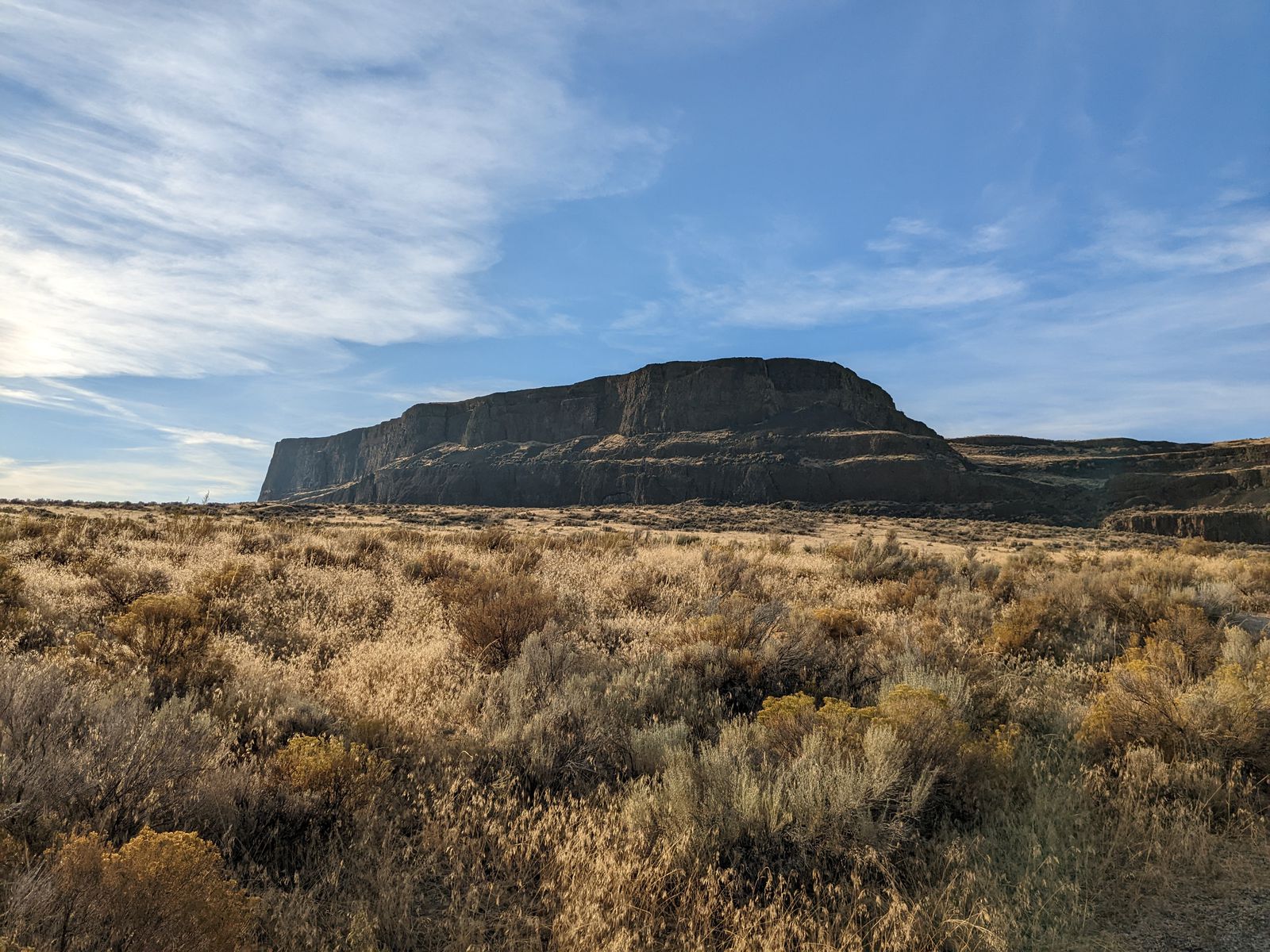
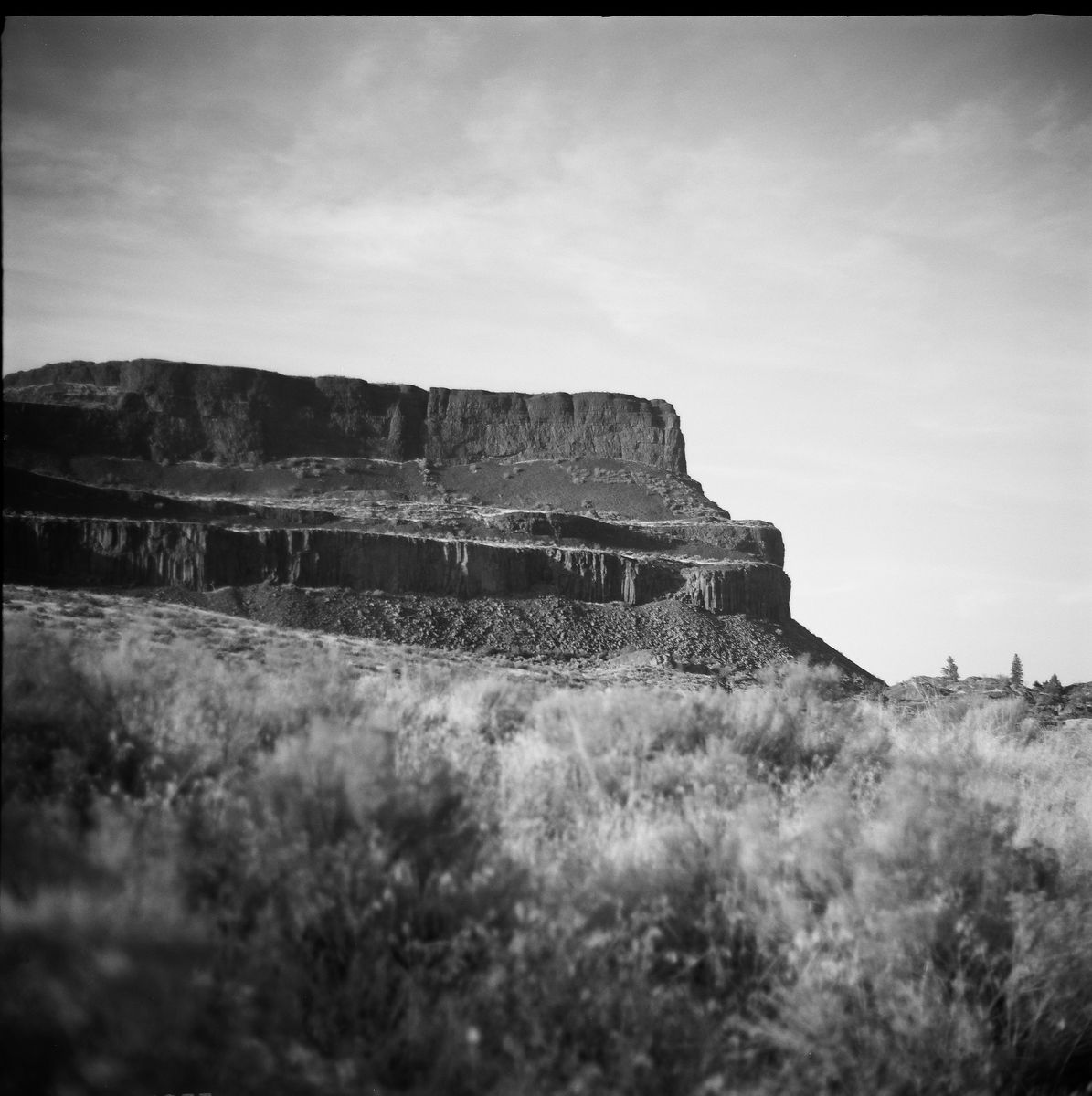
Steamboat Rock
My next stop was Steamboat Rock, which had a lovely campground nearby. Climbing the rock was out of the question for me as I felt too tired for a long hike in the sun. Plus, it was already too late in the day.
But some day I’d like to return and hike its summit!
And drove the rest of the way in the dark, including navigating around a bridge outage that Google Maps didn’t know about.
Chillin’ in Chewelah
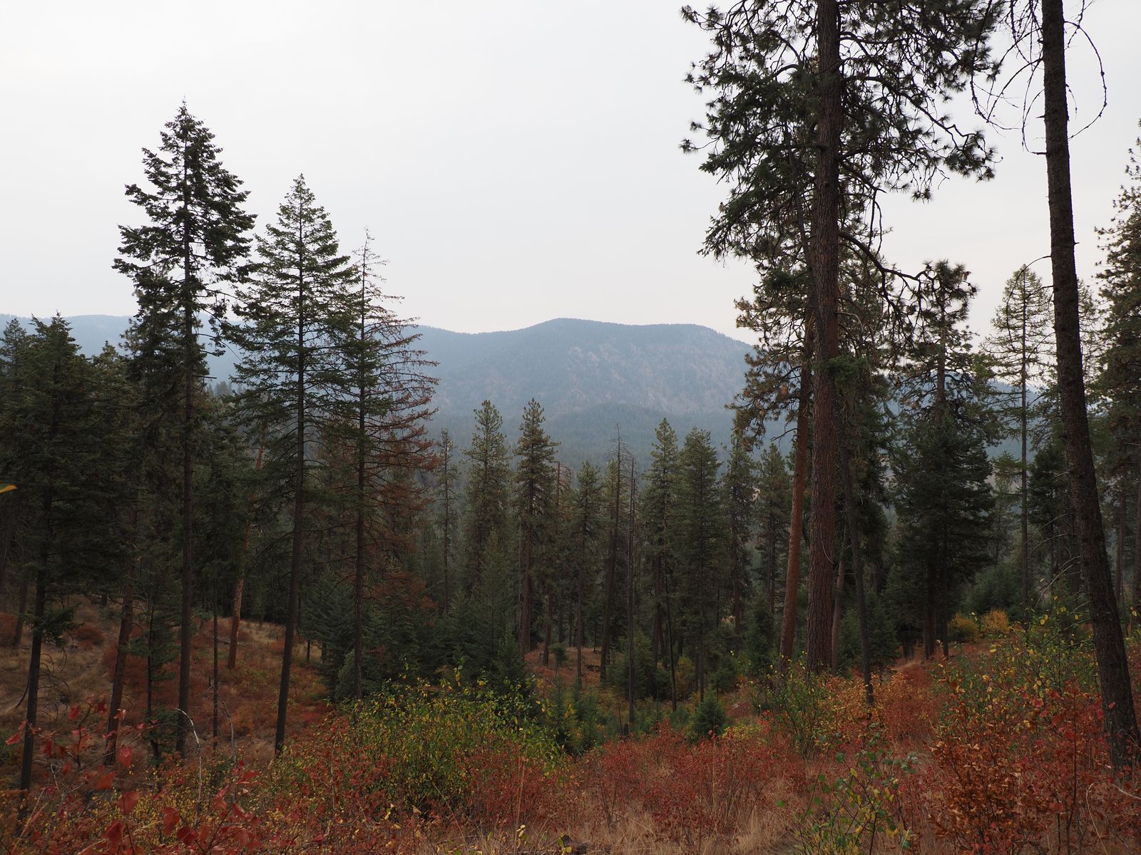
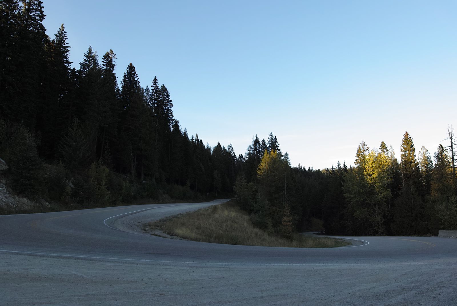
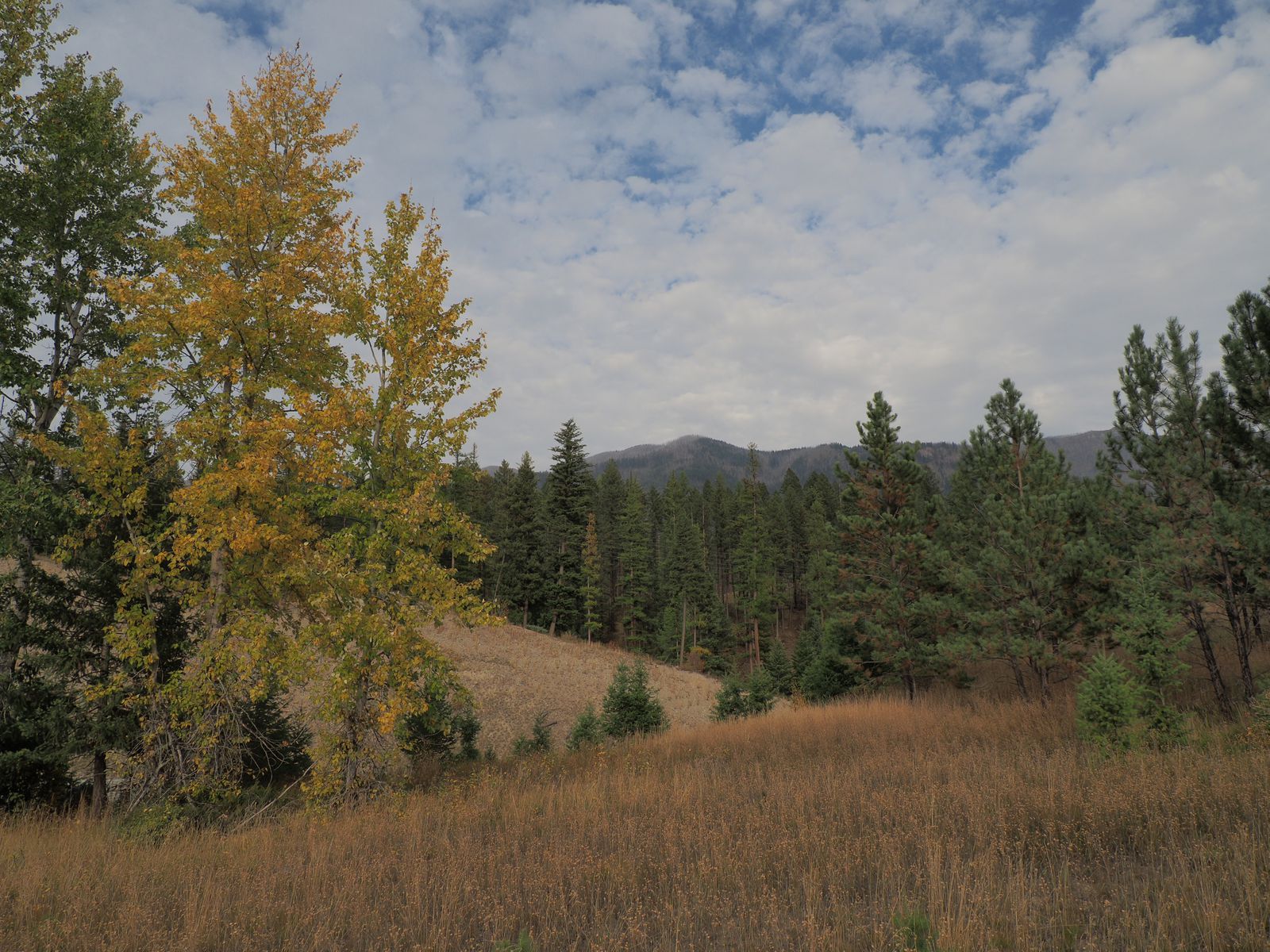
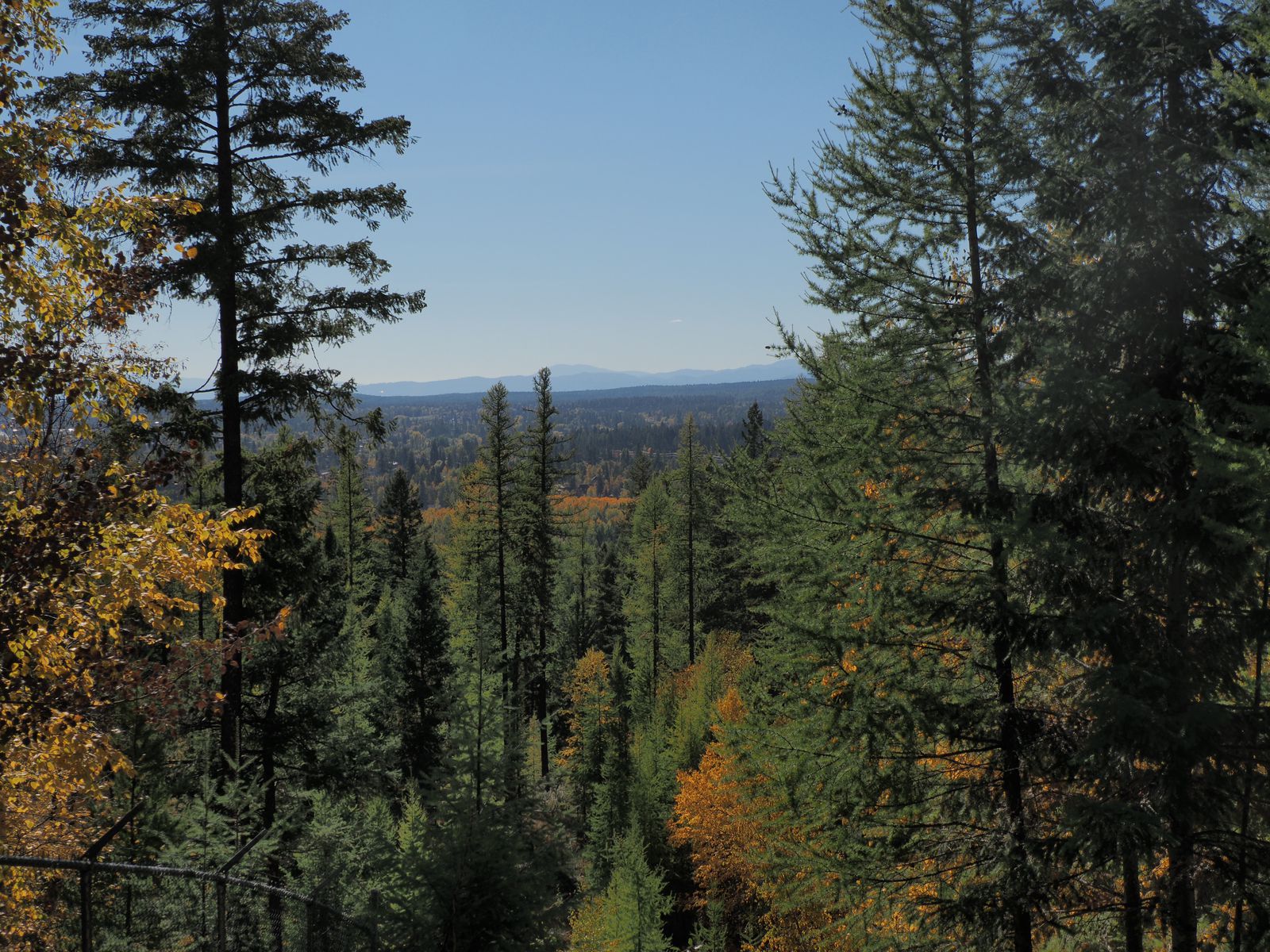
I wanted to take a northerly route as I headed towards the Idaho Panhandle. This would get me a bit further off the beaten path, and hopefully reveal some nice scenery. My dreams of fall foliage were cut short by two crucial factors: first, I was a bit early. Secondly, the forests were conifer…
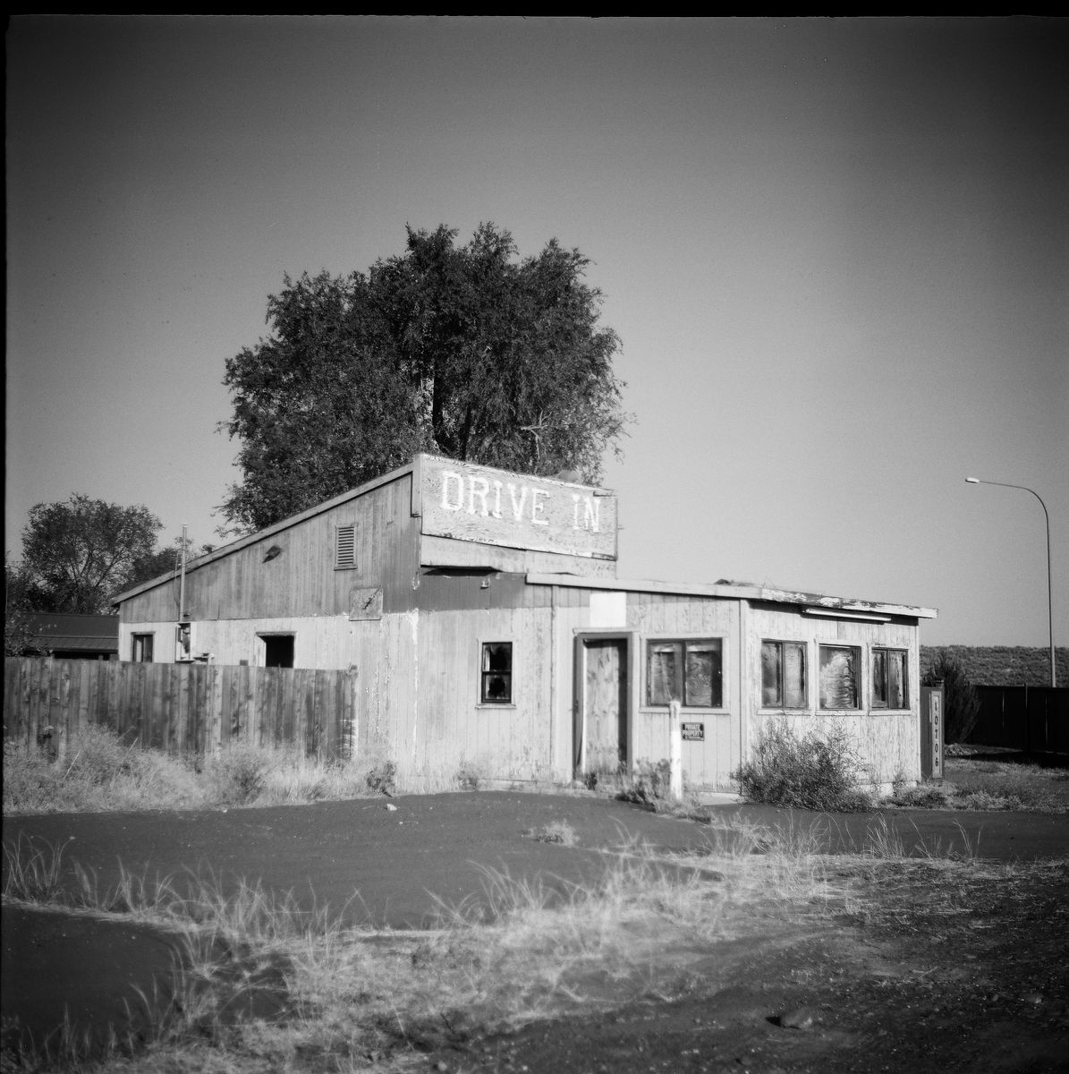
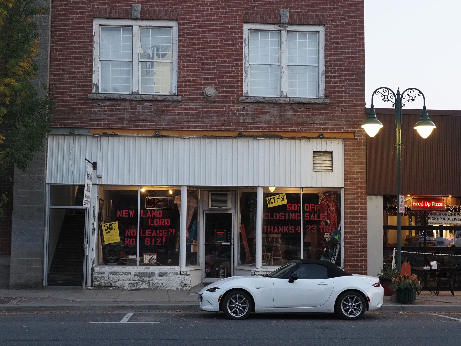
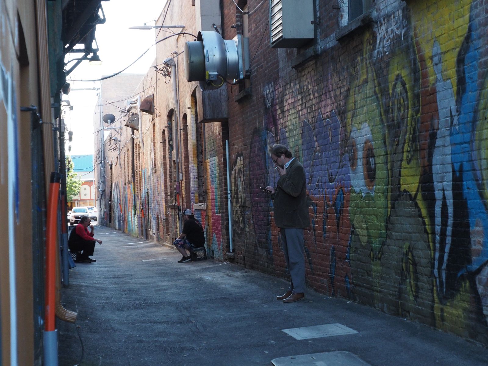
Chewelah is a cool, small town in Northwest Washington. It has a nice main street, shops and restaurants, and is near some very pleasant forest and the like. I stayed there for two nights.
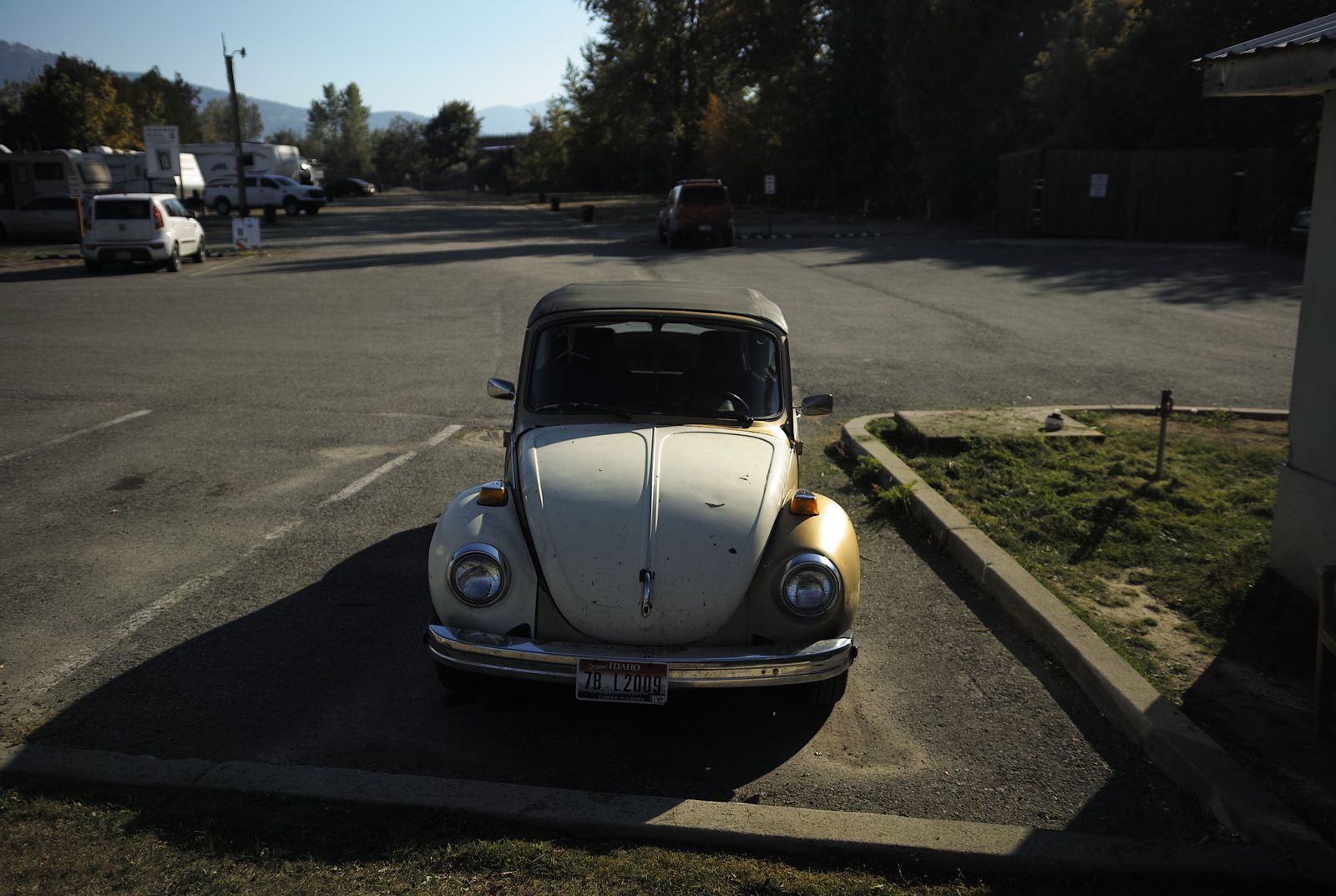
In terms of interesting reactions I've gotten to photography, let's just say that the owner of this car is... a middle-aged woman who seemed to greatly want attention.open_in_fullinfo
In terms of interesting reactions I've gotten to photography, let's just say that the owner of this car is... a middle-aged woman who seemed to greatly want attention.
I did hang out for a while in Fired Up Pizza (on my second night), enjoying some very topping-filled flimsy pizza to go with my IPA. I think I had the spotted buffalo.
On the television screens, a reality show about logging blared, in which burly men with death wishes risked life and limb in order to deforest tall, majestic trees in the Olympic Peninsula. I could have wept, dear reader, I could have wept.
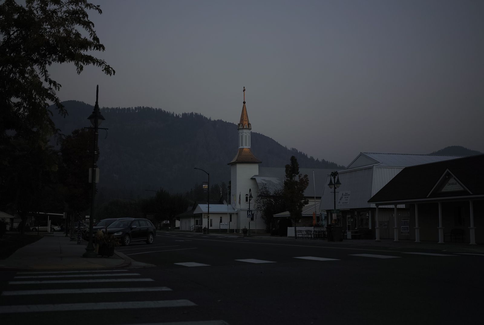
The copper colored roof on the town church is quite beautiful!open_in_fullinfo
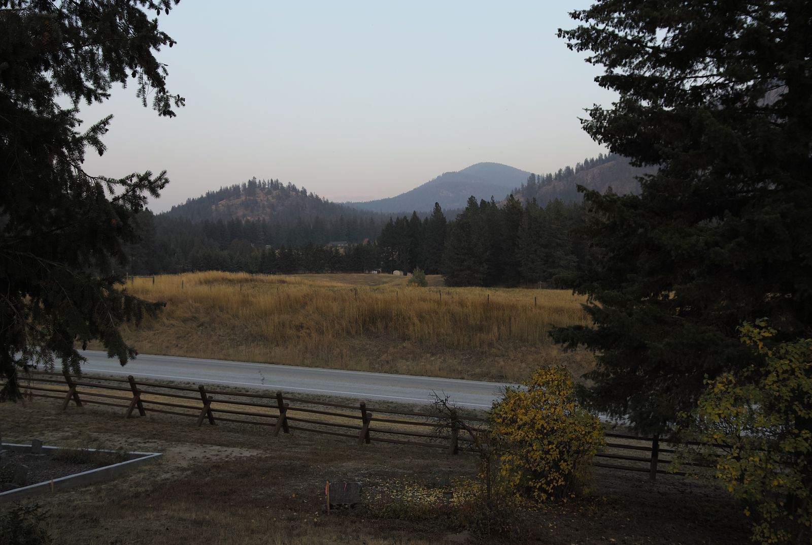
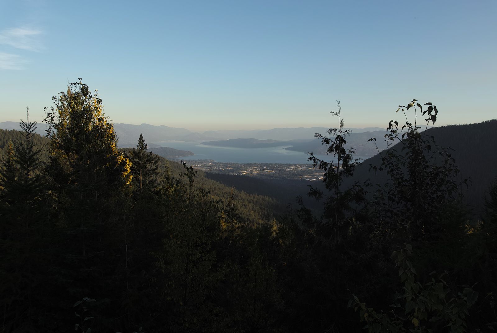
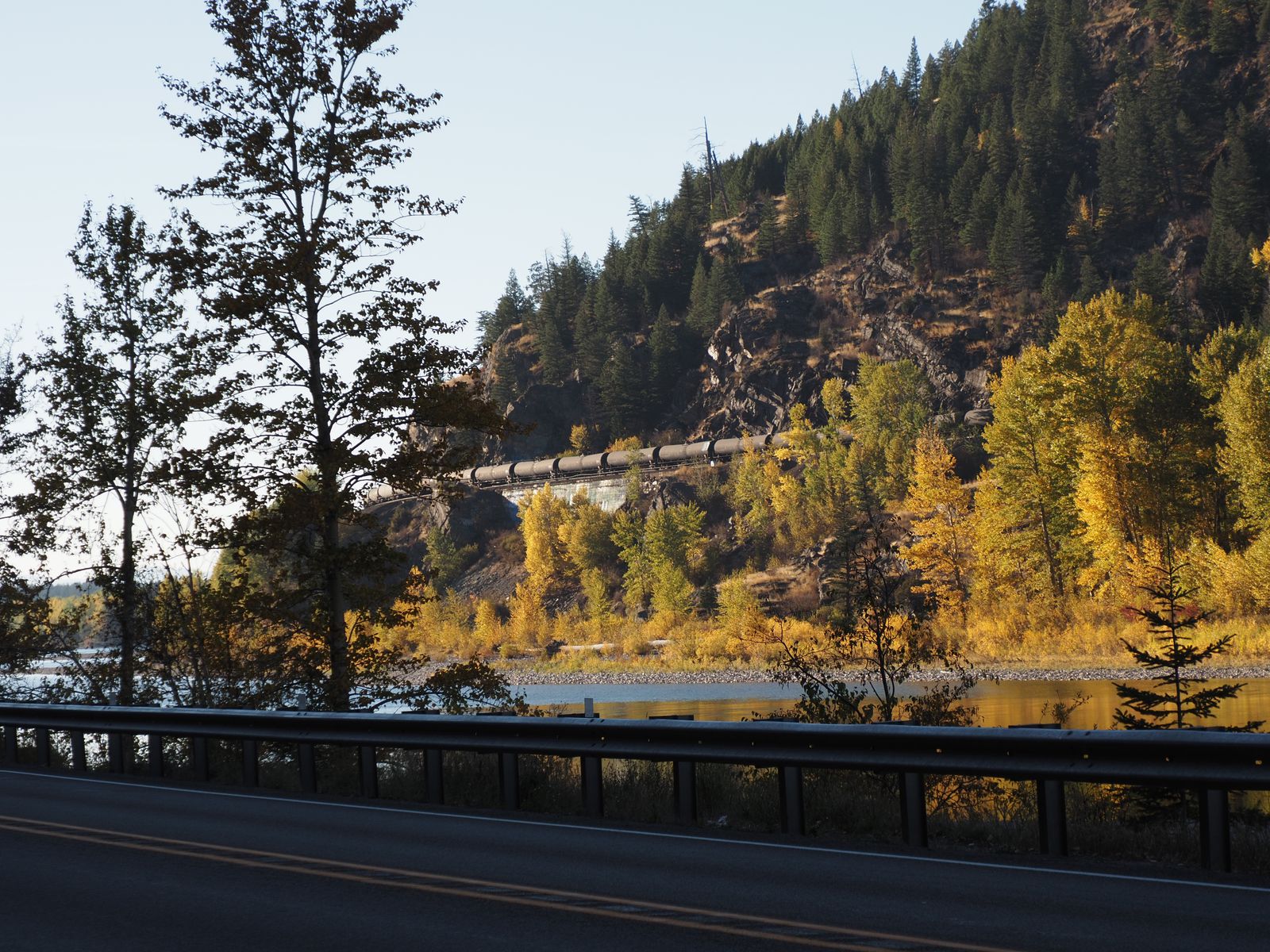
The main downside of visiting Chewelah was smoke. Yes, there were wildfires everywhere, dotting the maps from outside Seattle up and down the west coast, and stretching towards Montana.
My Airbnb was quite nice, but the aroma and haze were present when I awoke in the morning. Certainly, it was not as foul as Seattle’s worst days, but it was still foul.
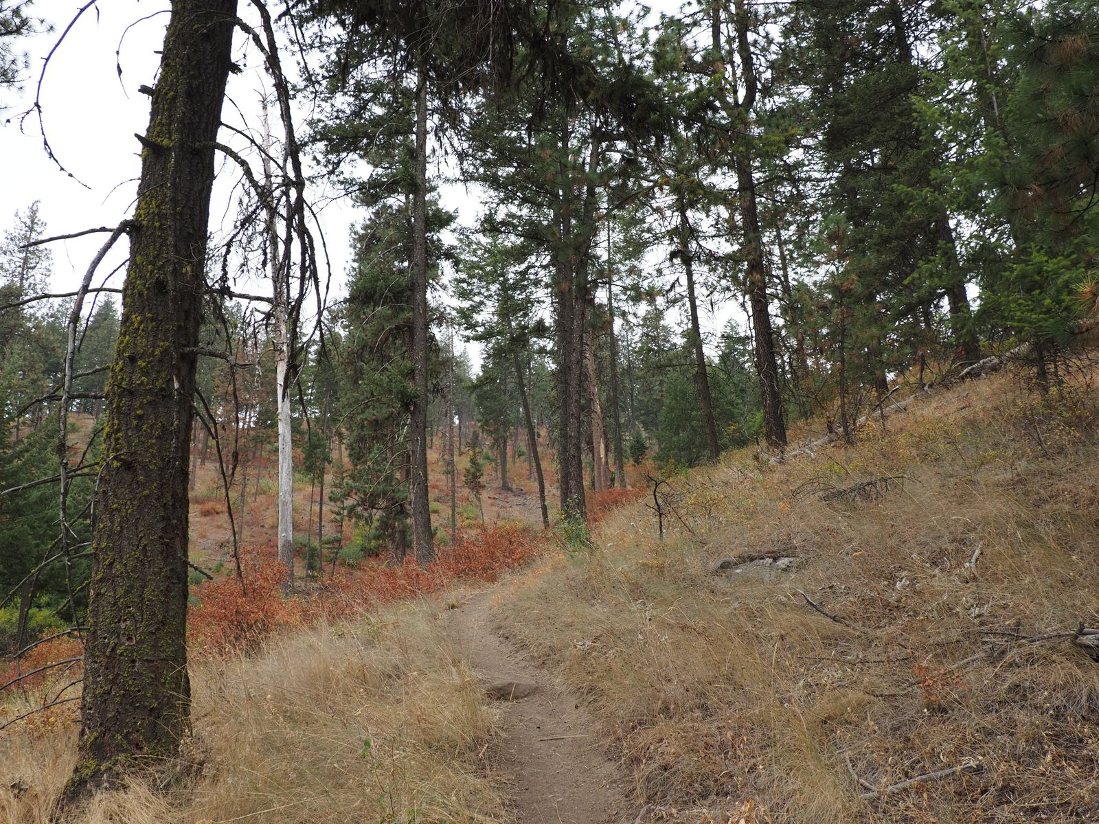
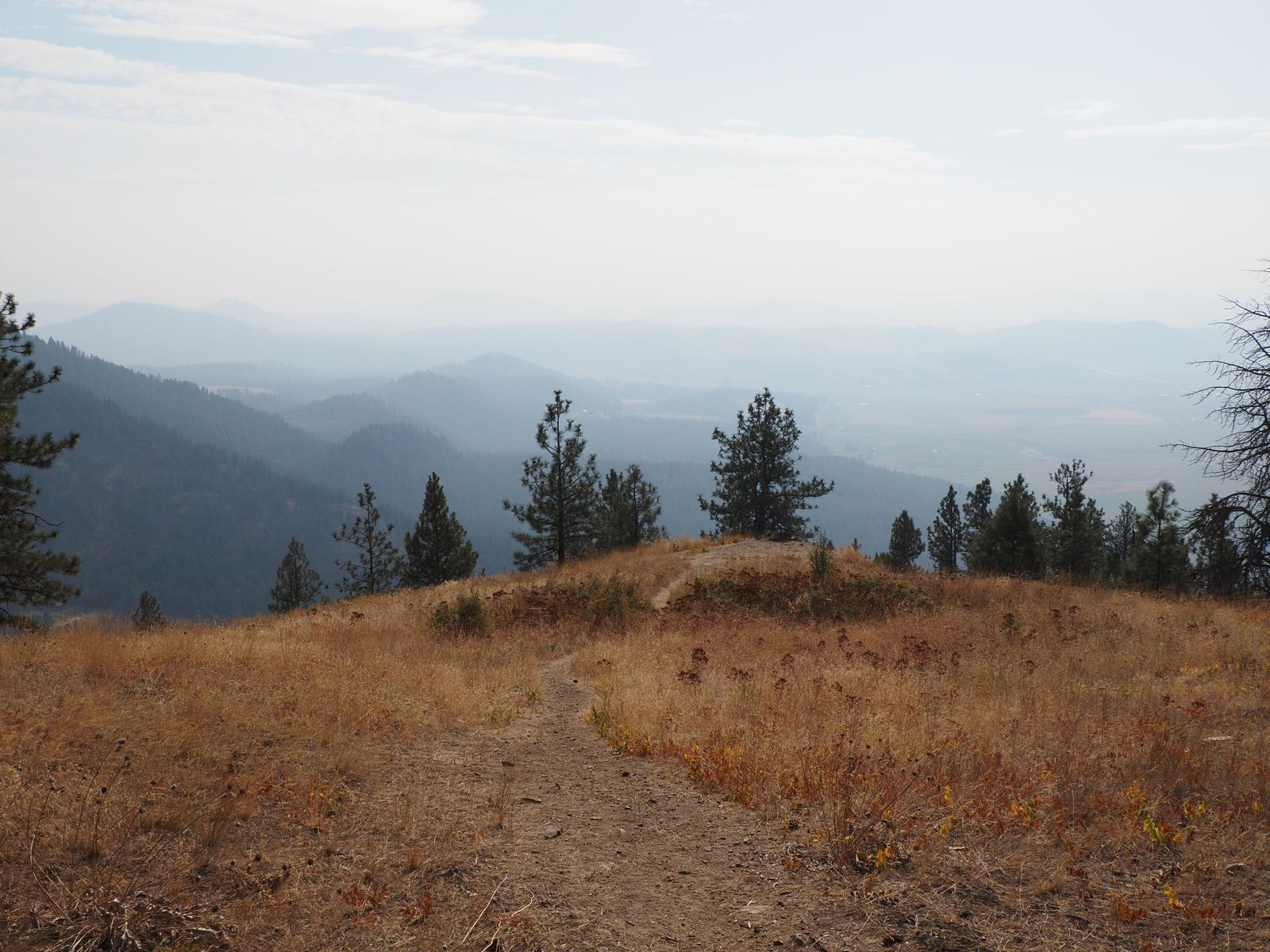
Quartzite Mountain
The highlights of my visit were a hike up Quartzite Mountain – I only went up to the campsite since I was doing this during my lunch hour while working – but it was a wonderful, steep trail.
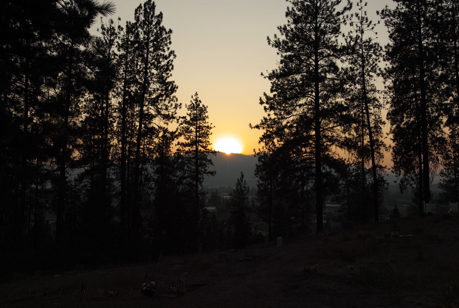
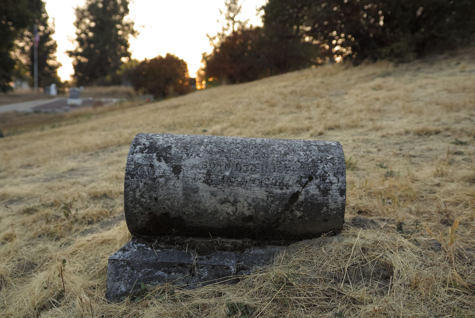
The Pioneer Cemetary is pretty cool as far as cemetaries go. As the name suggests, it’s old enough that it serves as the burial site of pioneers from when the modern town of Chewelah was founded.
While I was visiting, I was a tad concerned that I could hear voices.
Given that I was still wearing bright red from my earlier hike, I would be visible to anyone from a great distance. But after no one approached me for a while, I realized what I was hearing was radio sports commentary, drifting over from a nearby property.
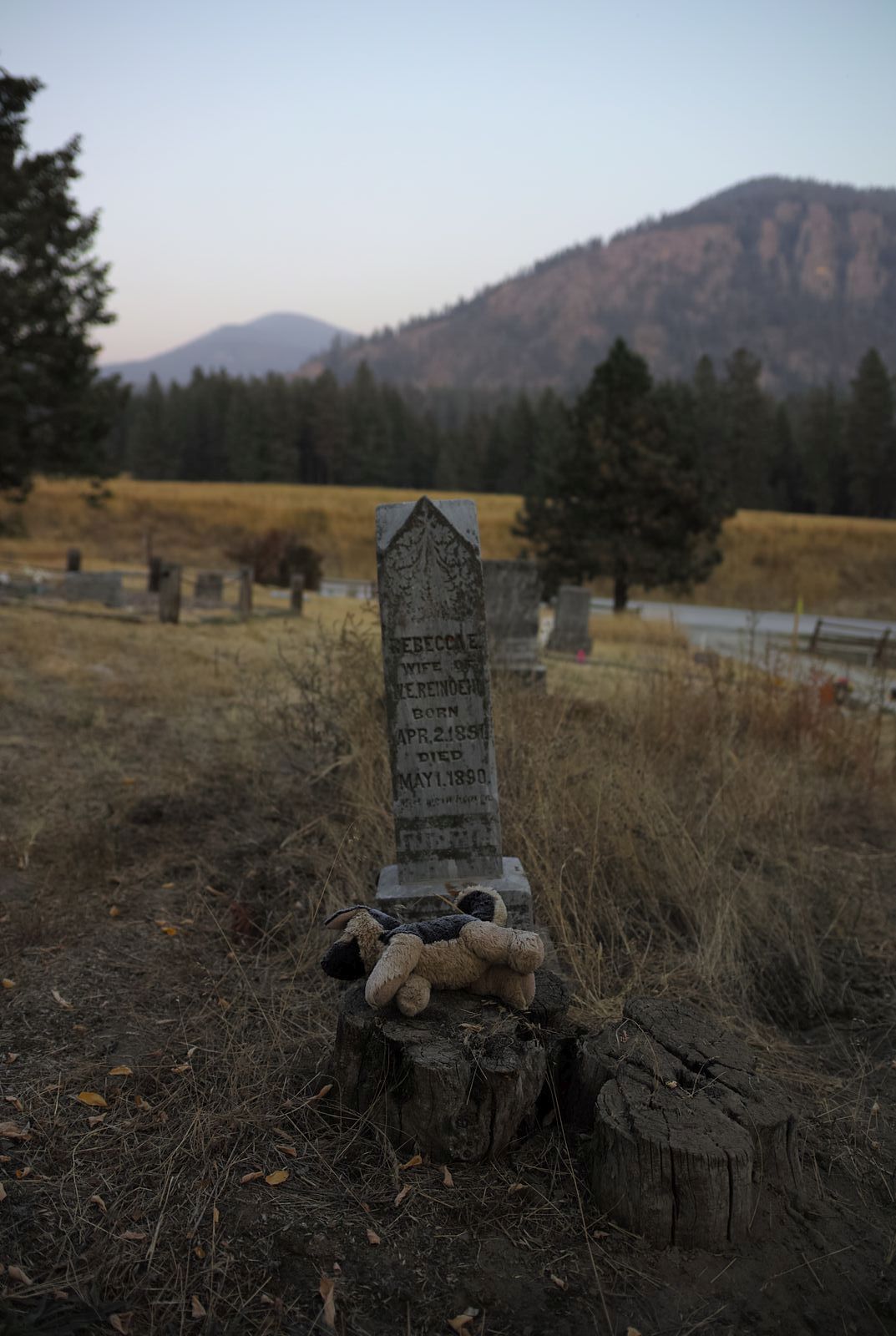
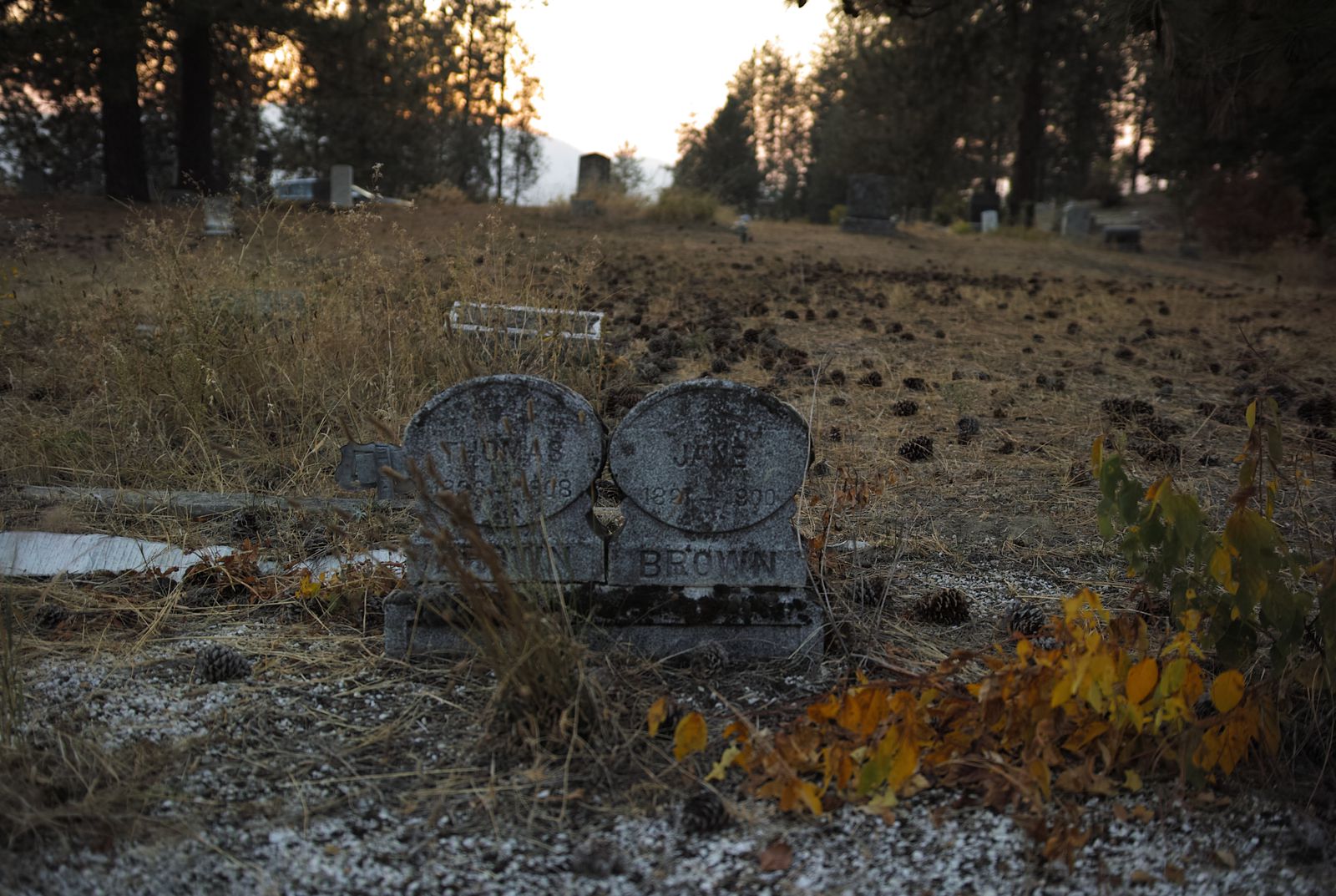
The juxtaposition between this forgotten toy and tombstone, combined with the out of focus sunset on the mountains, makes this my favorite of the cemetary photos.open_in_fullinfo
The juxtaposition between this forgotten toy and tombstone, combined with the out of focus sunset on the mountains, makes this my favorite of the cemetary photos.
The only bad spots were that I planned to stop for lunch at a closed restaurant, and to go on a hike around a like that turned out to be on the other side of a locked and closed gate.
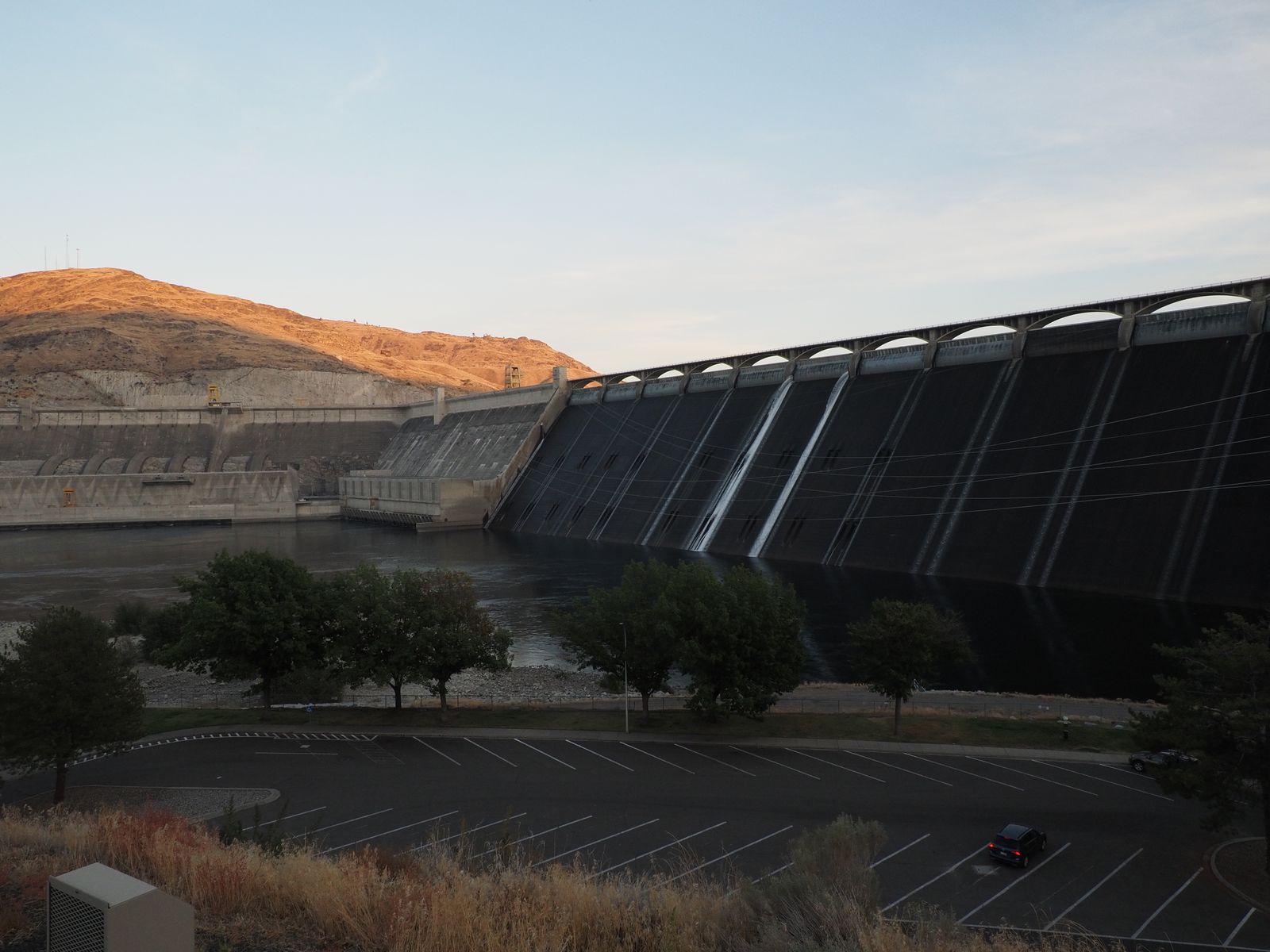
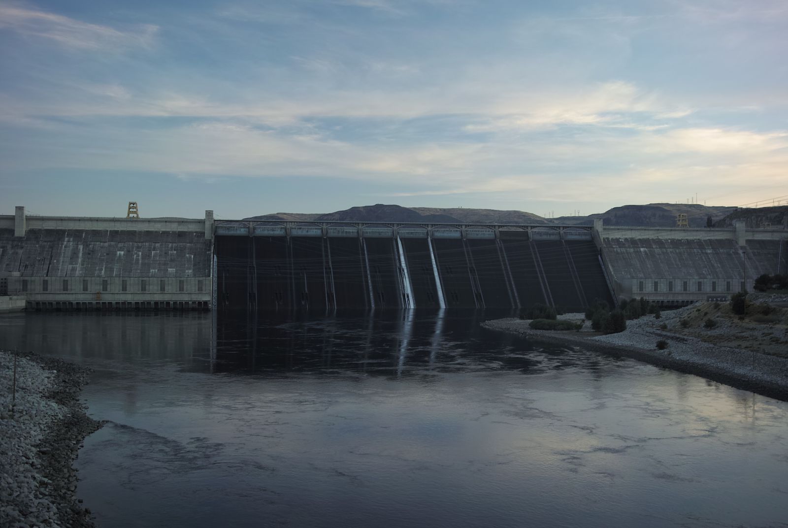
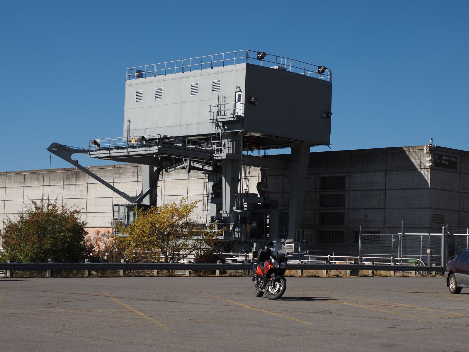
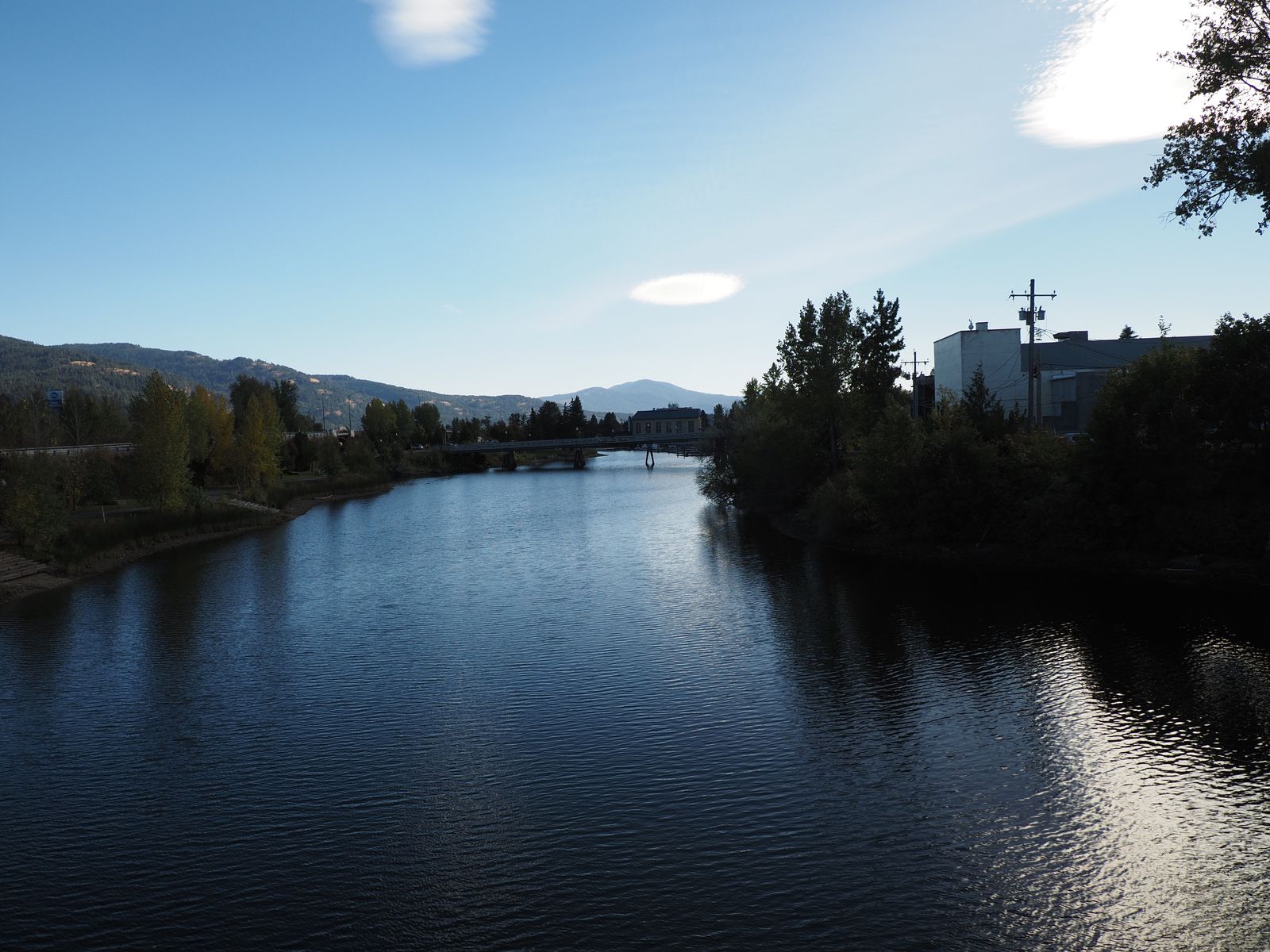
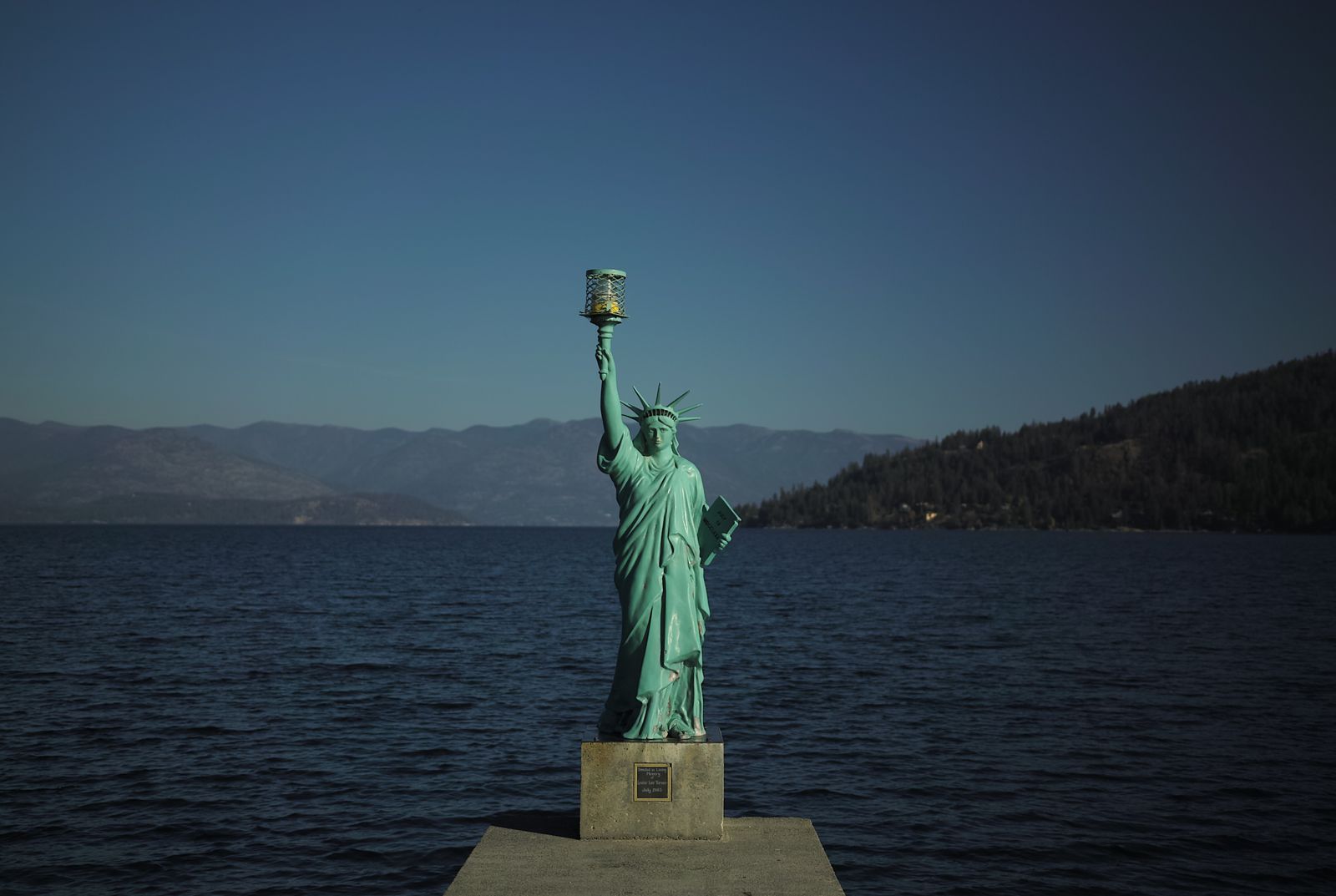
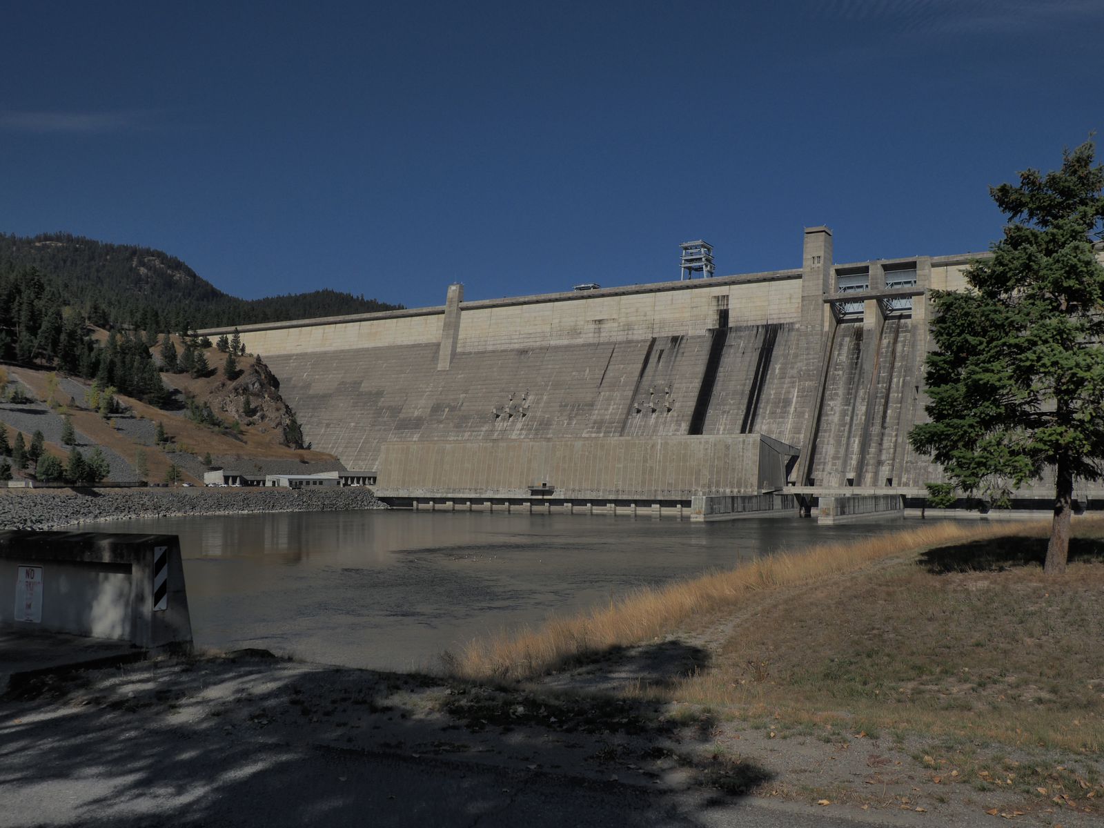
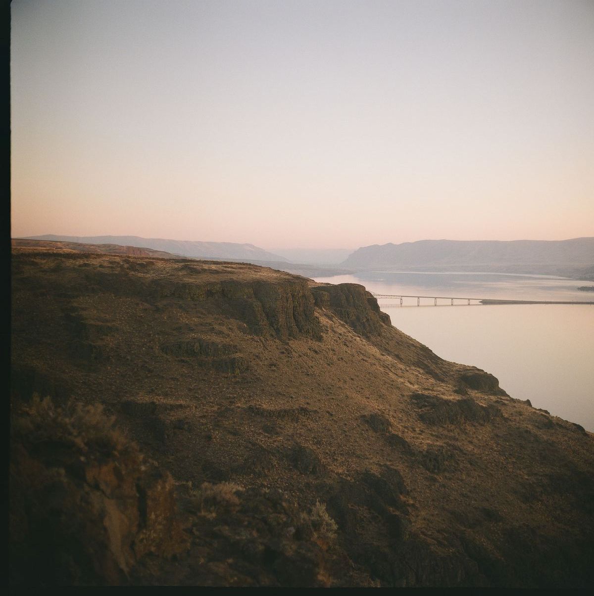
Albeni Falls Dam
Nevertheless, I did not pass up an opportunity to stop at yet another dam for a 52 Frames photo near the Albeni Falls Dam.
Again, the lake was beautiful. The dam was as pretty as a dam. I walked around and looked around a fair bit, but I couldn’t really make out any falls, even looking down a long camera lens.
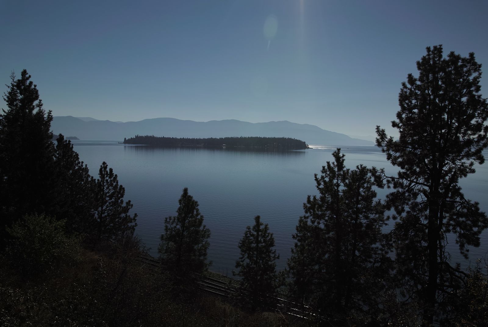
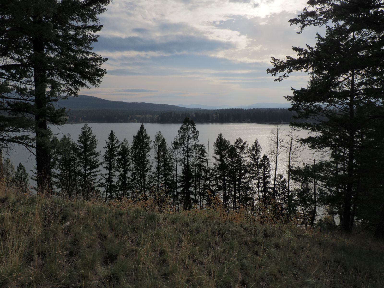
Lovely Lake Pend-Orielle
Idaho is known for being a conservative state, the panhandle even more so, and it shouldn’t have surprised me that the first place I stopped was a coffee shop with a pile of chick tracts next to the exit.
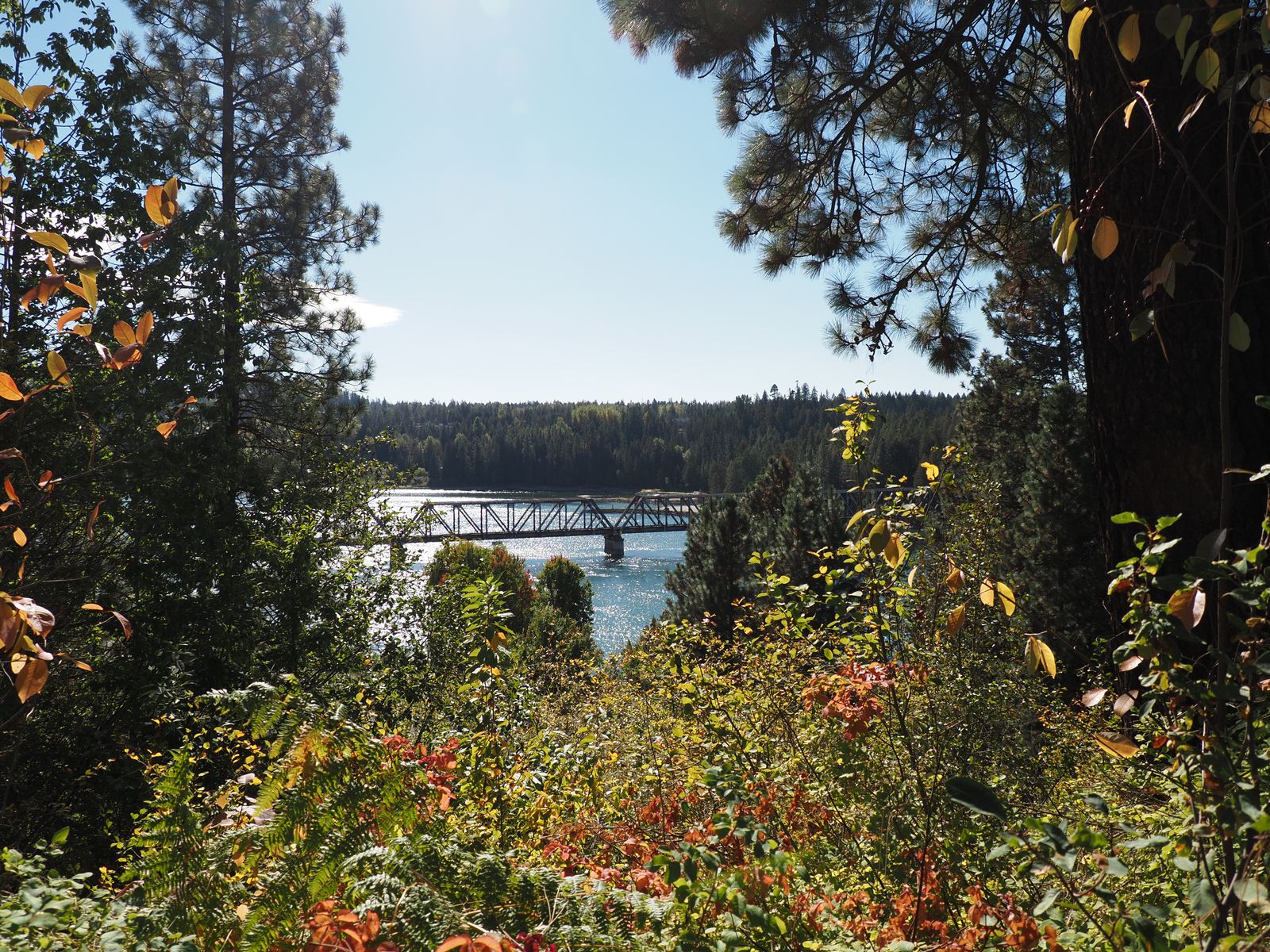
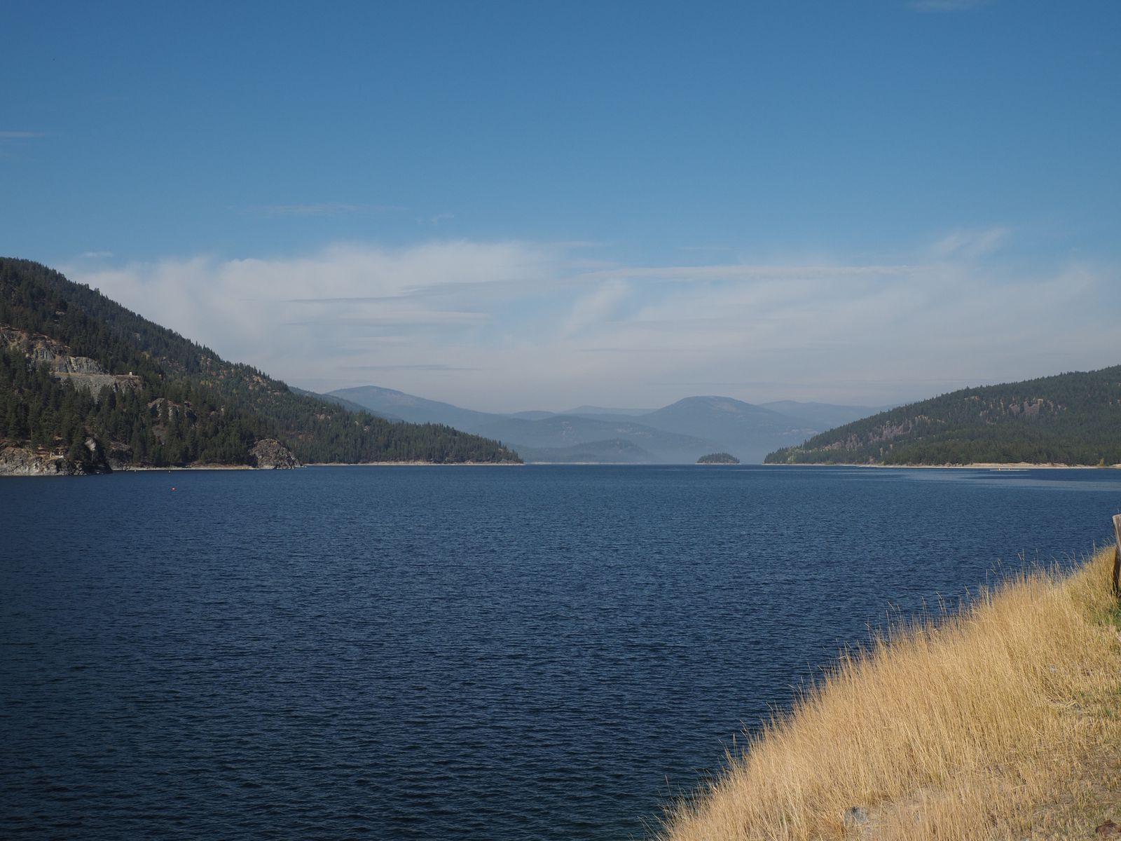
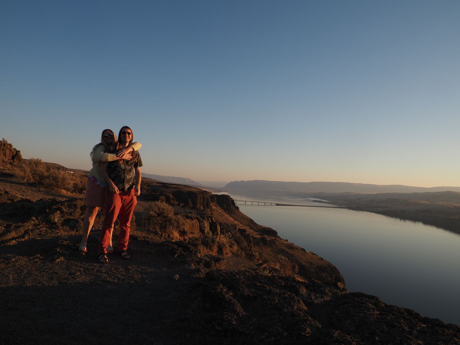
My reasons for visiting were simple: Idaho is between Washington and Montana, the panhandle is beautiful, and Chelsea had recommended the area around Sandpoint, which somewhat confusingly, refers to many areas around Lake Pend-Orielle, rather than just the town of Sandpoint itself.
I got cheap accommodations near an off season ski lodge, and stopped in town in Sandpoint on my way up.
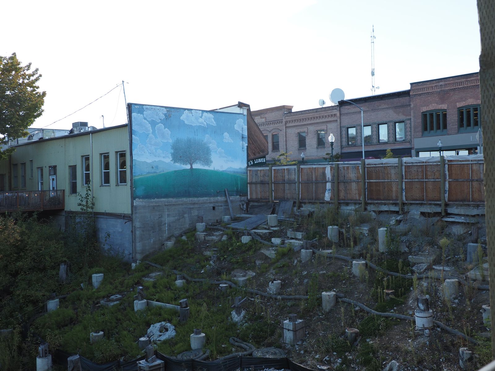
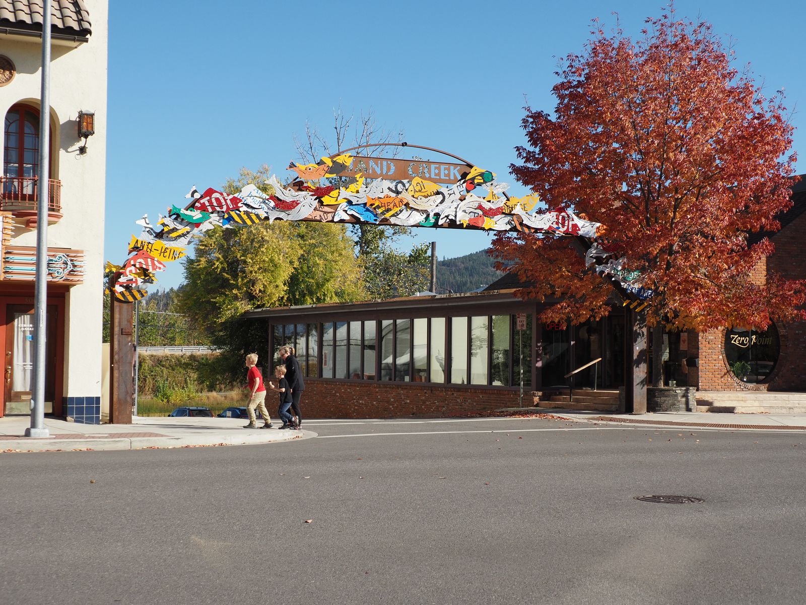
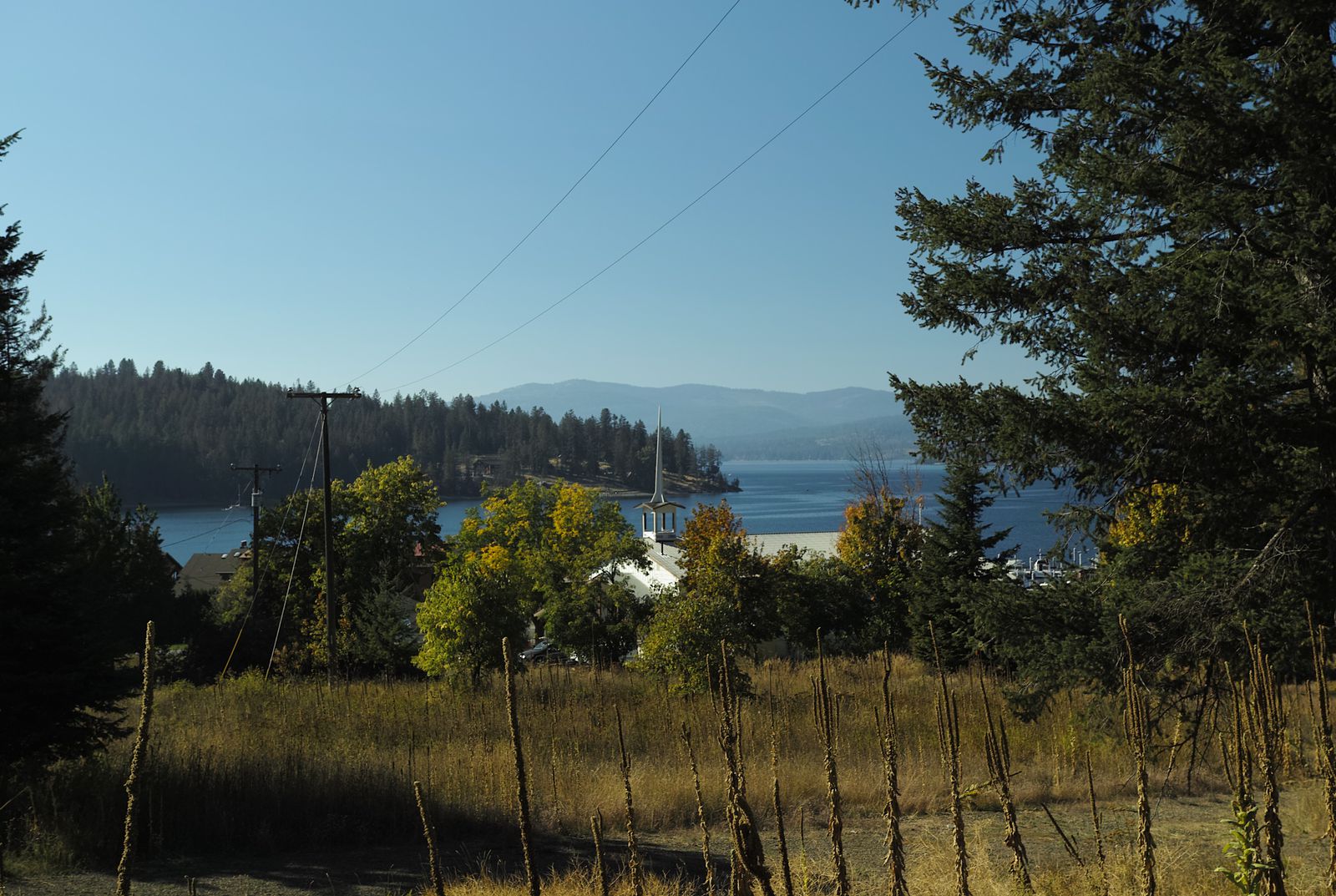
Sandpoint
Sandpoint is a town with a fair number of amenities, and businesses. It’s probably a great place for a family vacation towards the summer time. If it was warmer out, nearby Lake Pend-Orielle would have been incredibly inviting for a swim.
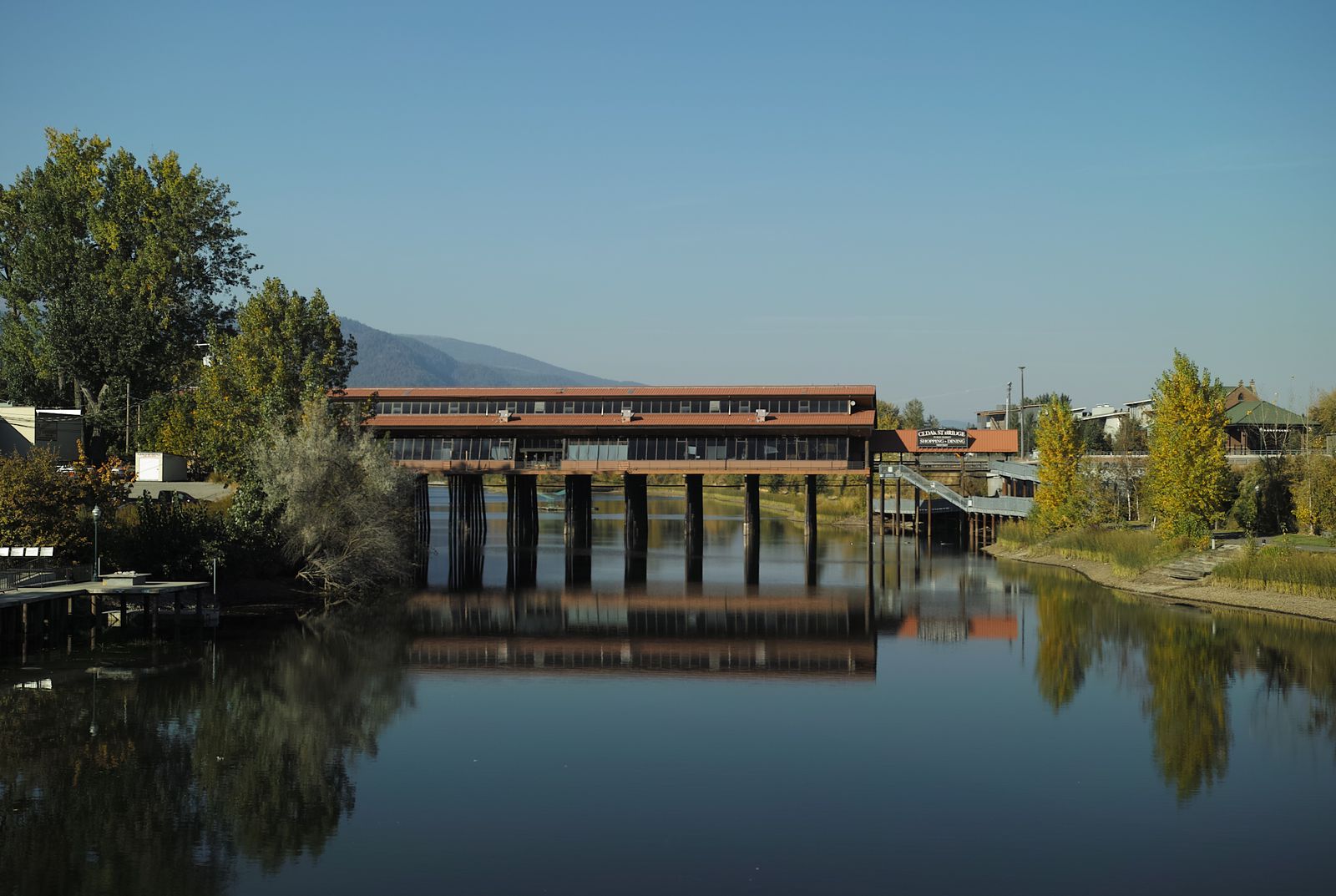
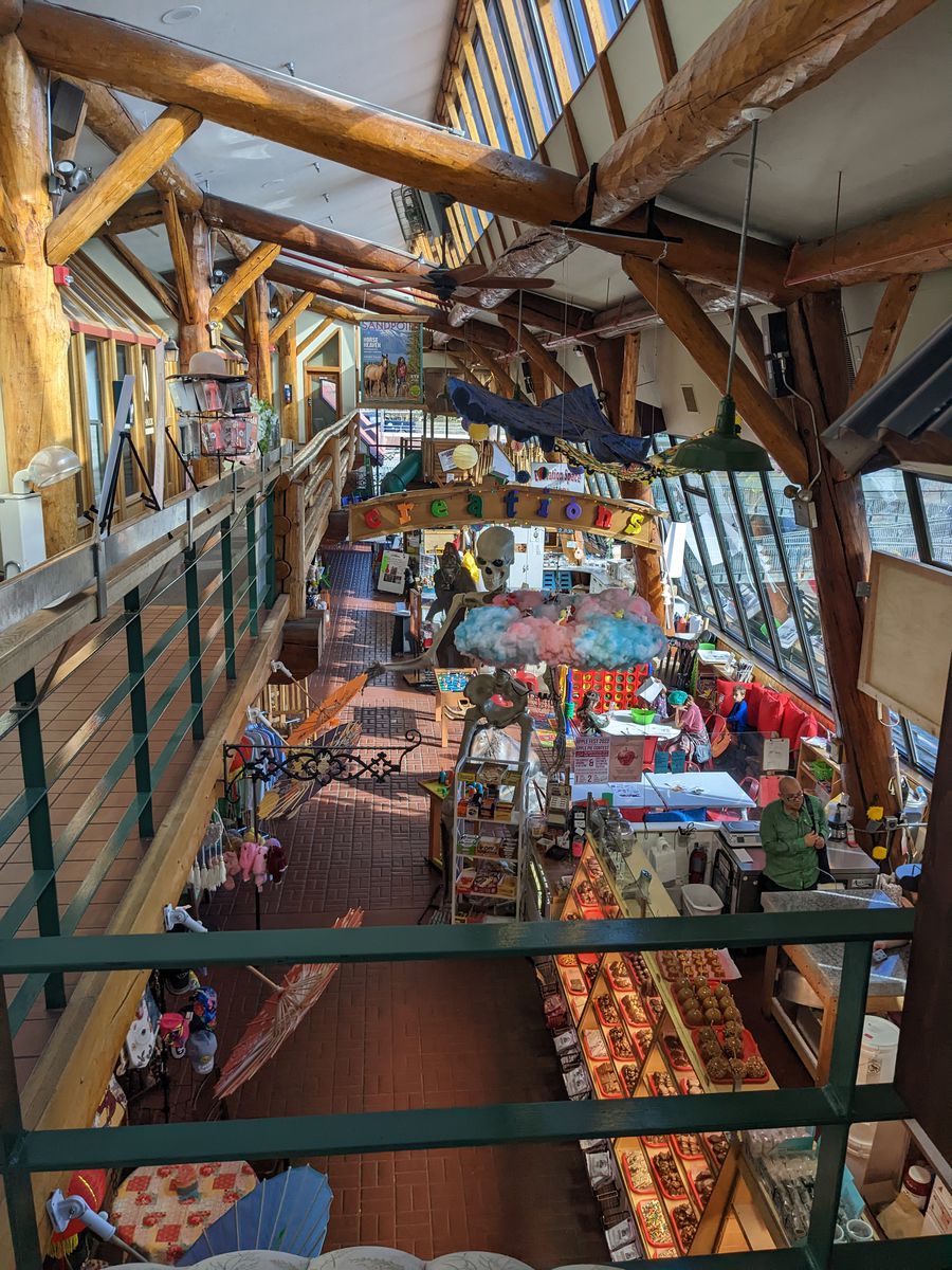
One of Sandpoint’s main attractions is the Cedar Street Bridge Public Market. Basically, it’s a market inside of a covered bridge.
On the edges of Sandpoint, going towards Schweitzer, there were some excellent barbeque joints. I’d recommend Smokesmith BBQ over Farmhouse Kitchen, but both were good. (Considering my visit to Rigby, Idaho was now 3/3 for BBQ!)
Nearby Laughing Dog Brewing had a huckleberry cream ale, which was delicious. I picked some up, but strangely none of it returned from Montana.
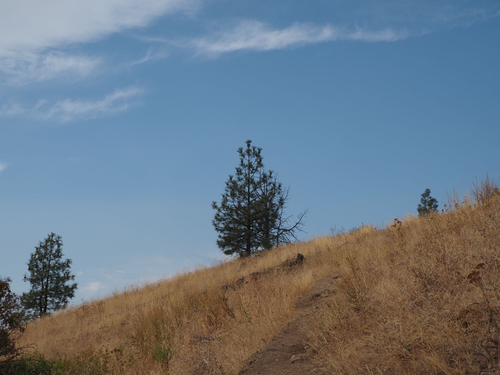
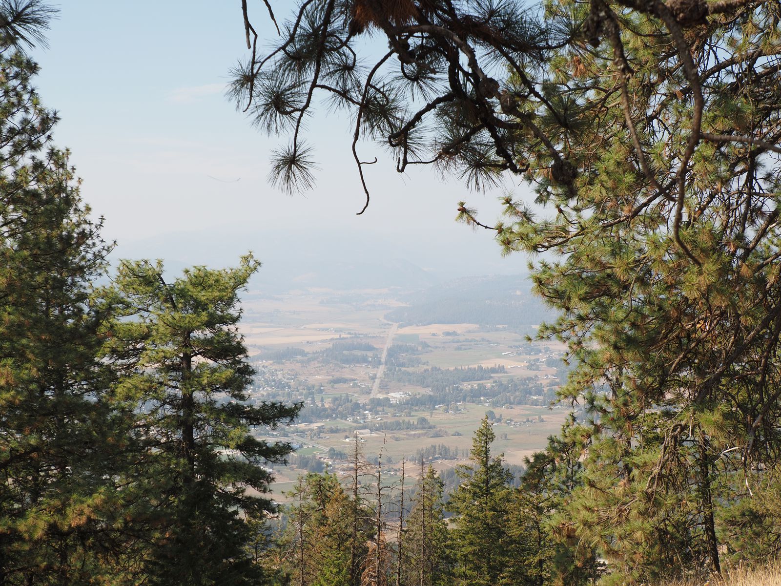
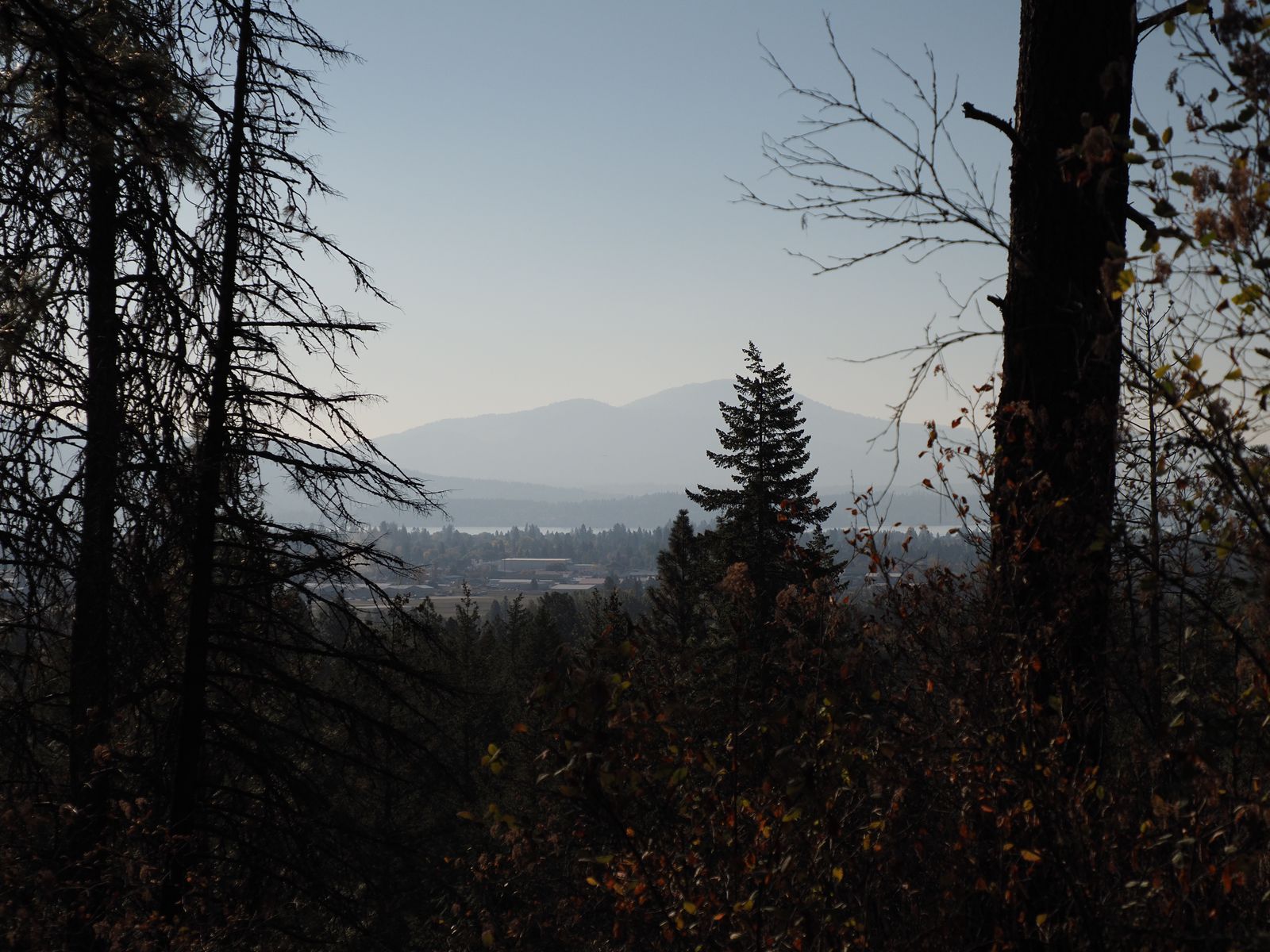
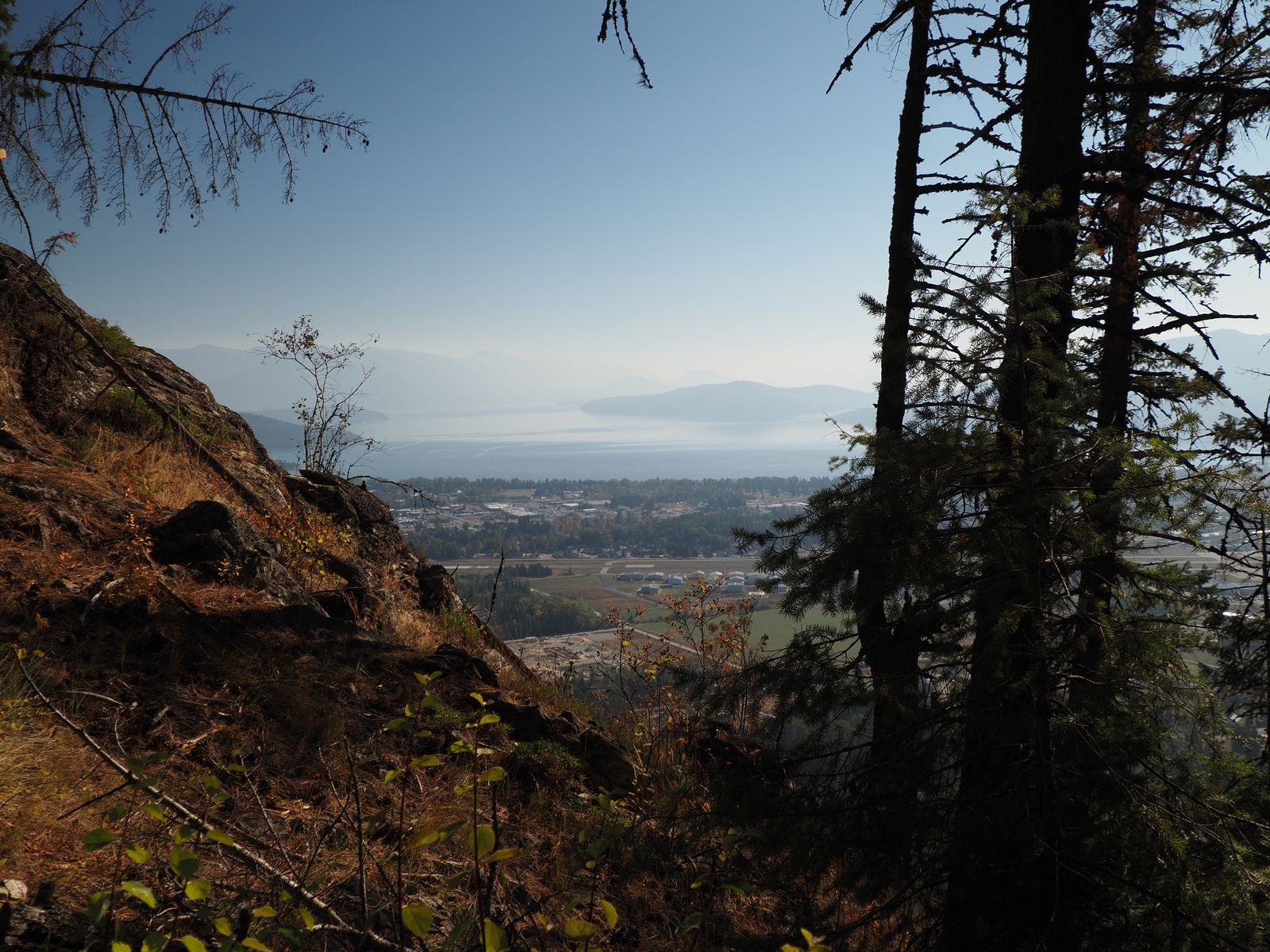
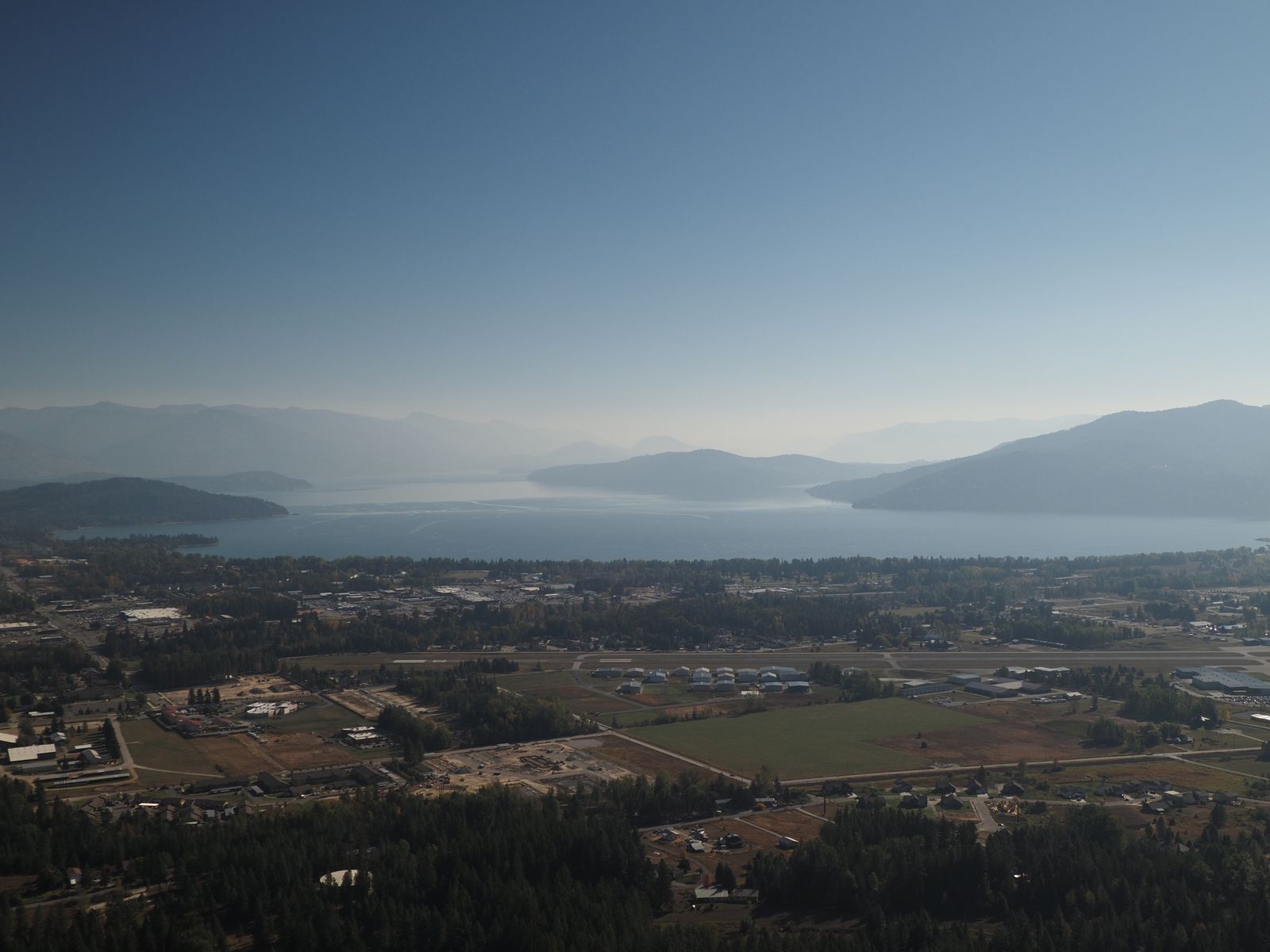
Mickinnick Trail
Mickinick seems like a strange name for a trail, right? Here’s what the placard at the trailhead had to say about it:
In 1997, Nickly Pleass donated 160 acres of land to the U.S. Forest Service. The land was donated in memory of hr late husband Mick Pleass. Both Mick and Nicky envisioned a scenic trail directly above Sandpoint, Idaho. They wanted to prserve this scenic land for future generations and as a gift to the community. The name Mickinnick is derived from Mick & Nicky and the Kinnickinnick plant that is native and grows along the trail.
The trail itself is a nice hike up the ridge, through the forest. Like the Quartzite Mountain trail, I did this during a break in my work day, and as such, did not complete the trail. But, I still completely enjoyed the views and exercise.
Hope & Surrounds
Because I was hanging out around Sandpoint for a few days, I did drive a little bit around the lake in search of more scenic views.
My second booking was an condo on Schweitzer, a ski town supposedly named after a Swiss hermit who enjoyed eating cats. Who knew that smokey views of snow-free slopes would make for such quality budget accommodations? One of the condo’s interesting features was a neon beer sign, fully functional, installed above the sink.
View of the sunset from my Airbnb on the first night.open_in_fullinfo
While I was staying in Sandpoint, I had a bit of difficulty getting one of my Duracell-branded aftermarket camera batteries out of my camera. It had been charging in camera, but had swollen. One down. Except, it turns out I had left my OEM battery in Chewelah. Whoops! And even worse, one of my other Duracell batteries would fail to charge in Montana.
This trip was NOT kind to my E-M5 batteries.
–> Onwards, To Montana –>
Cheese & Gathering
I had a few goals after I left Schweitzer. One of them was coffee. Another was cheese.
The Selle Valley Creamery has an honor system based stand where you can buy their cheese. (Closed on Sundays, obviously, for one should not operate an unmanned cheese stand on the Sabbath!)
I was disappointed they were out of cheese curds, but the Panhandle Trio (gouda + parmesan + cheddar) was real nice.
For coffee, I wound up going to a complex near Bonner’s Ferry called The Gathering Place. It had a separate bakery and cafe, and antiques store, and had a folksy country home. The coffee was nothing to write about in a blog post, but the (rather moist) loaf of zuccini bread I picked up to bring to Montana was really nice.
I crossed into Montana, continuing towards Rexford. I figured, it was as good as going in any other direction, and since my FedEx packages often end up stopping there, I might as well see what the fuss was about.
Somewhere, I stopped near a fishing pull off to use the bathroom. Inside, I discovered a multiple page antisemitic pamphlet, which I removed and took with me so I could dispose of it elsewhere…
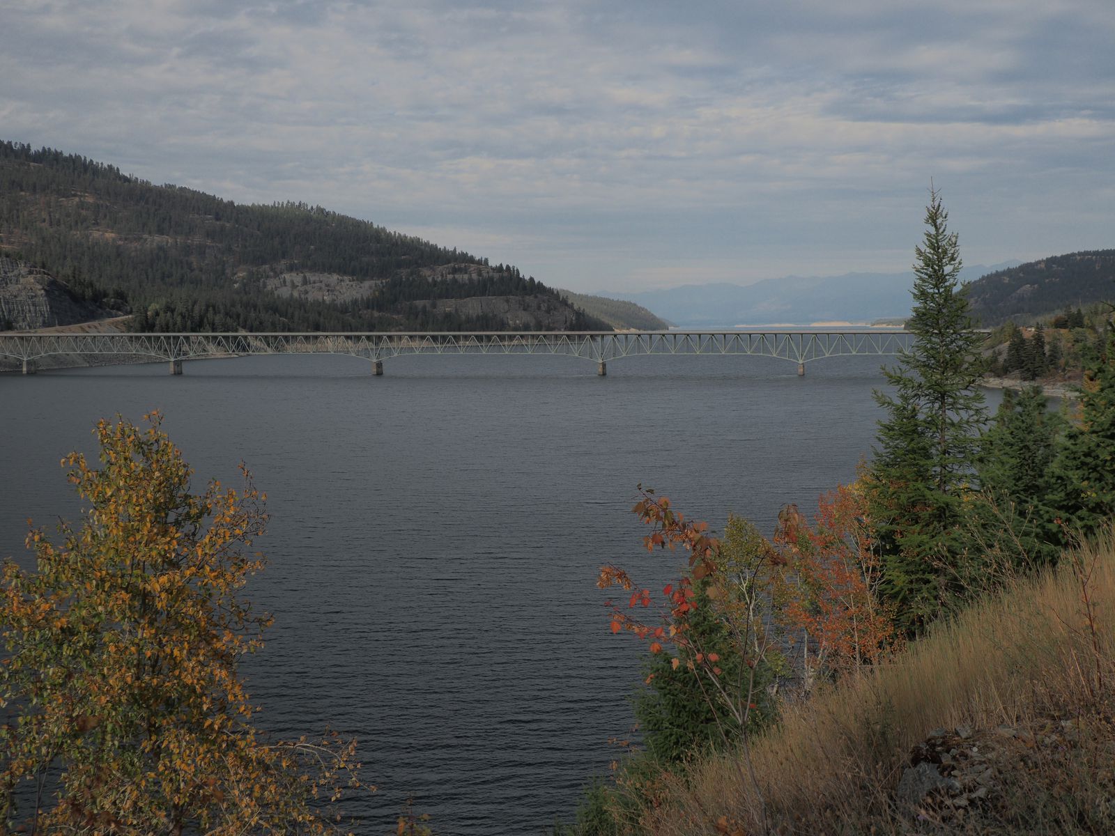
Lake Koocanusa
The Libby Dam was yet another damn dam.
Dam ugly, surroundings pretty. Didn’t tour. You get the drill.
And, it is a pretty lake, if a pretty unnatural one. It also has a weird name. Not unlike a certain trail near Sandpoint, it was formed by jamming together existing words into a new, incomprehensible shape.
Apparently there had been a naming competition, and Koocanusa was the winner. “Koo” as in the Kootenay tribe, “Can” as in Canada, and “Usa” as in the United States of America. 🤣 Lord knows how anyone pronounces it.
I offered to take some pictures of the proposal. That’s why I came.
Of course, things didn’t exactly go to plan. When I was in Schweitzer, I learned that Emi & Jarrod’s car was pretty much toast. The engine had seized up, or something like that, and they would have no vehicle anymore. Perhaps, then, the Enterprise Rent-A-Car would have been an apt place for a proposal.
The original planned proposal location was near Whitefish Lake in Les Mason State Park.
The modified planned proposal location was a pond outside their rental apartment.
It was a lot of fun to take pictures for them! The one thing that I wish I had done/had been able to do, would have been to have gotten there earlier, looked around, and knew where to expect the proposal surprise to start from, and to have thought about framing, etc. in advance, rather than at a time in which we were all a bit anxious to get to dinner.
But, still, it was an honor to be around and to take pictures for this event, and to capture the memories!
Emi and Jarrod are just incredibly cute and photogenic so there’s nothing more I can ask for. Celebrating afterwards was a blast, especially as Chelsea had now joined me.
Town
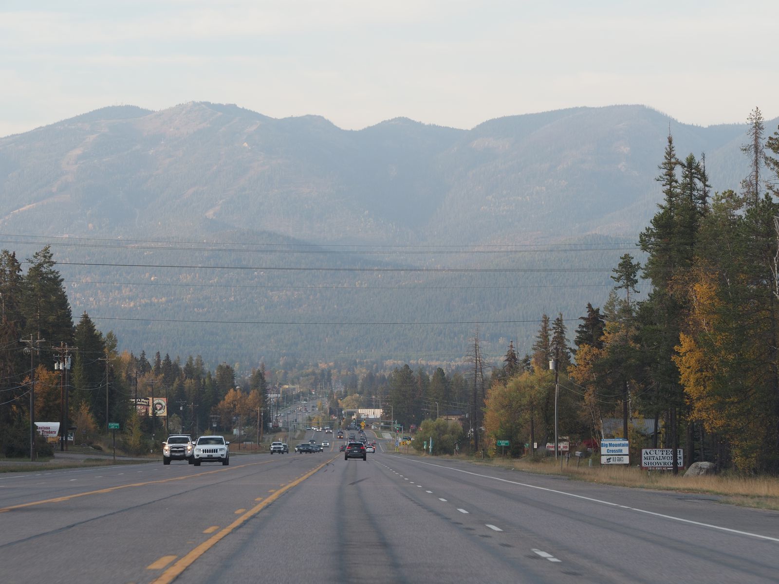
Whitefish is another ski town, not far from Glacier National Park. It’s getting increasingly developed, and some think it might be the next Jackson Hole. We enjoyed ourselves. It was enjoyable to meet many of Emi and Jarrod’s friends and parents.
(Jackson, WY is amongst my least favorite towns I’ve visited in recent memory, so I hope not. Though perhaps my perception was clouded by my inability to replace my tire.)
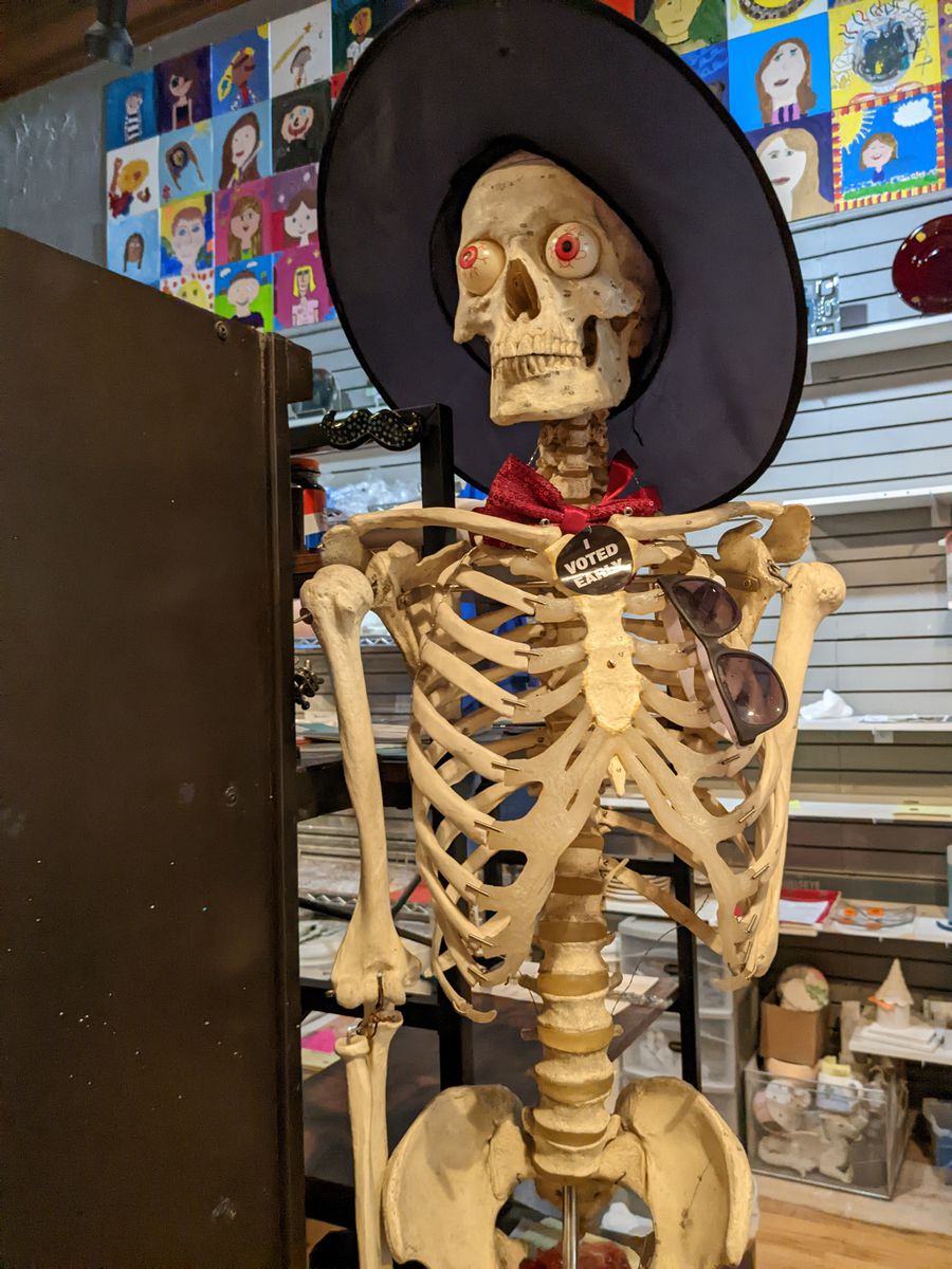
A skeleton who had apparently just voted, from within a ceramics/painting space.
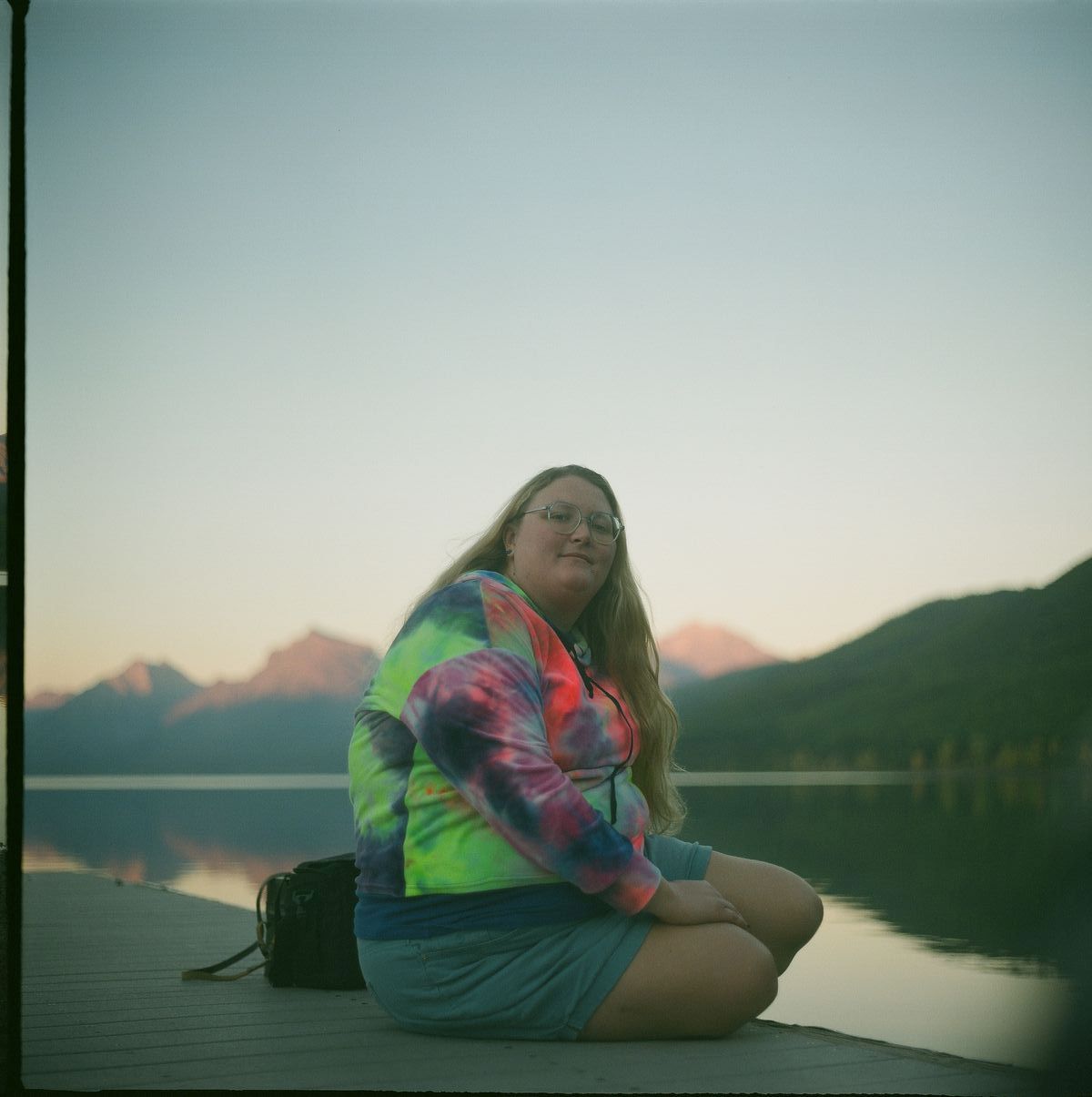
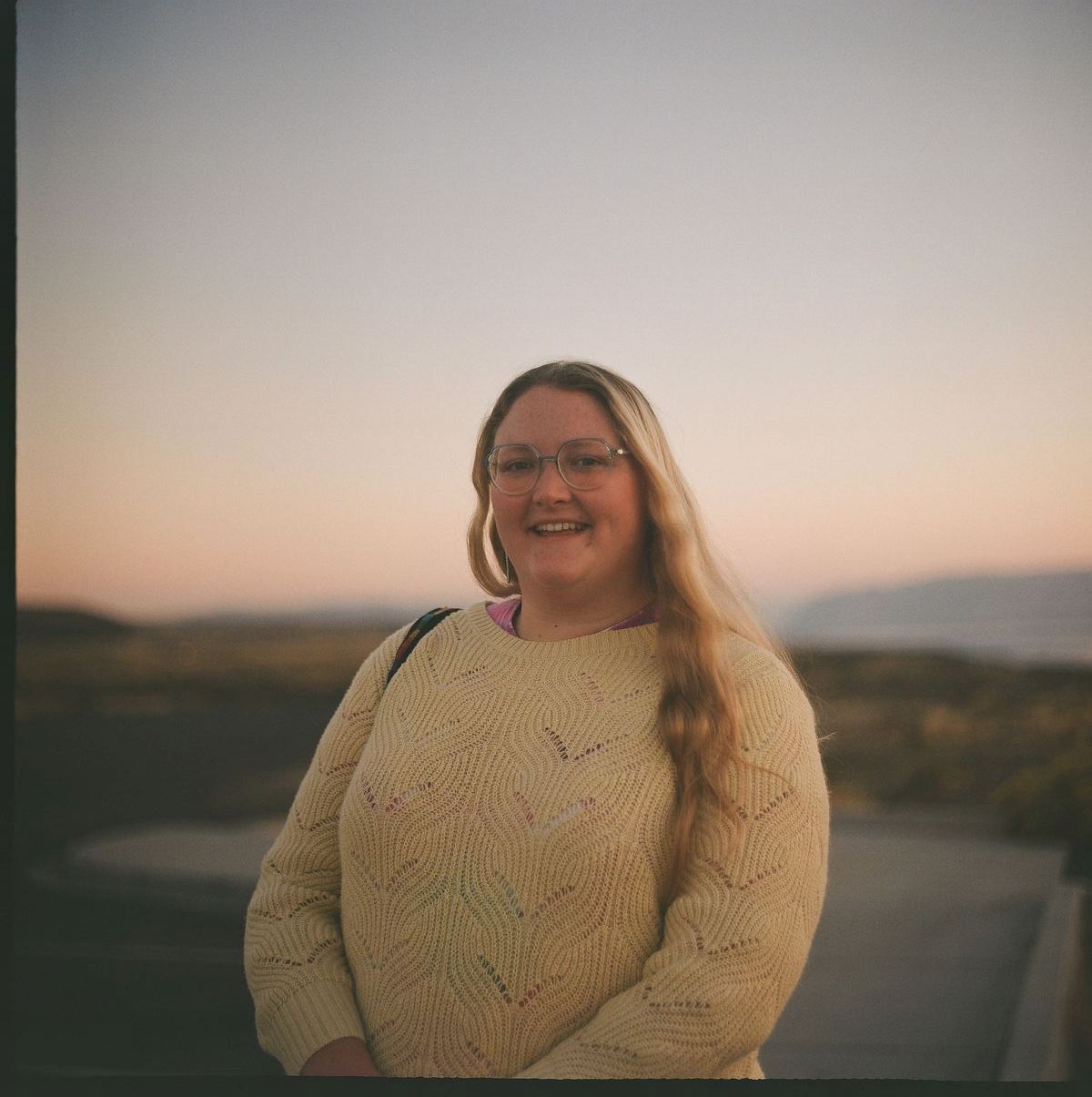
Chelsea had arrived.open_in_fullinfo
I liked Whitefish a lot, and I wish I had some more general pictures of it to share. But I think there are enough in this post already. 😛
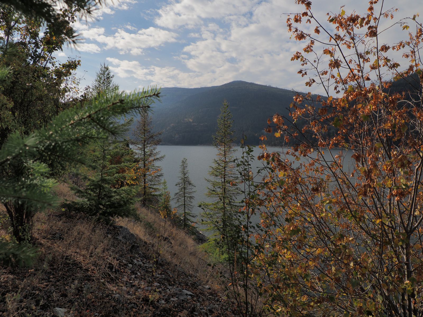
Reservoir Trail
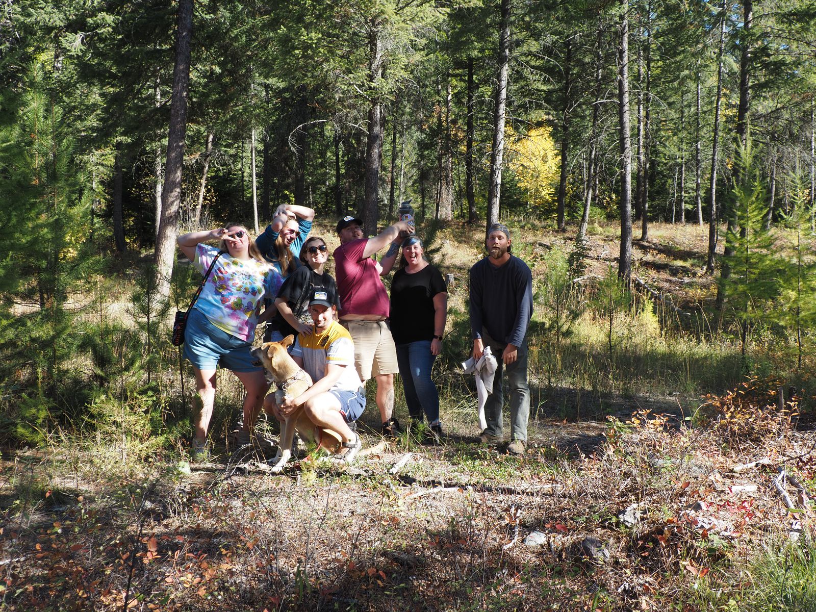
The morning after post-engagment celebrations, a group of us did a partial hike (with Carl the woof-woof) on the Reservoir Trail in Whitefish. Here are some snaps:
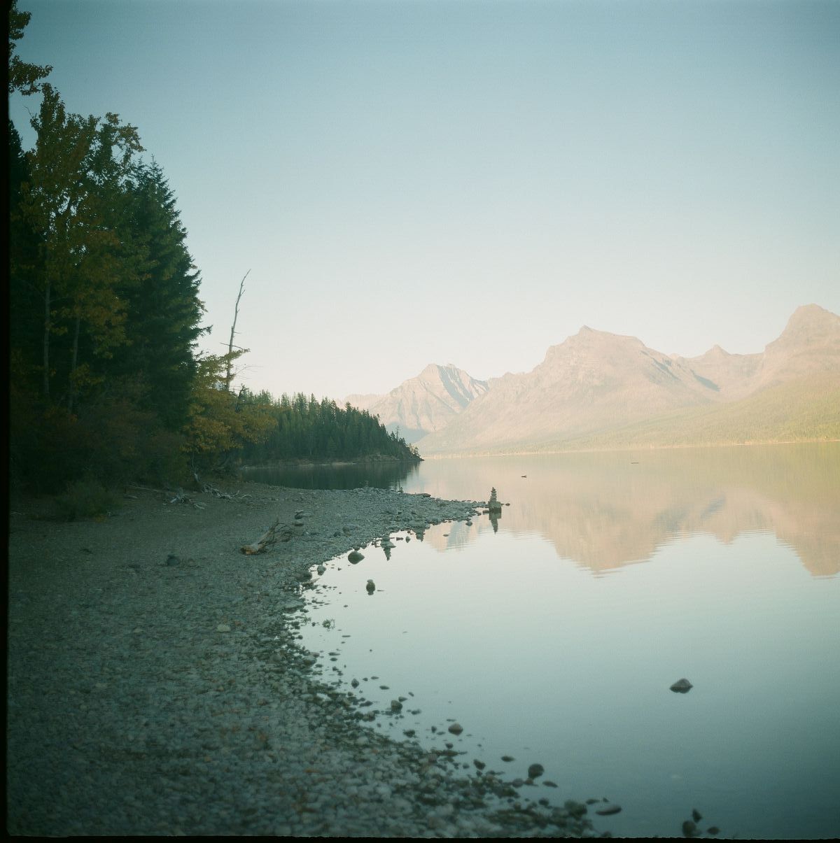
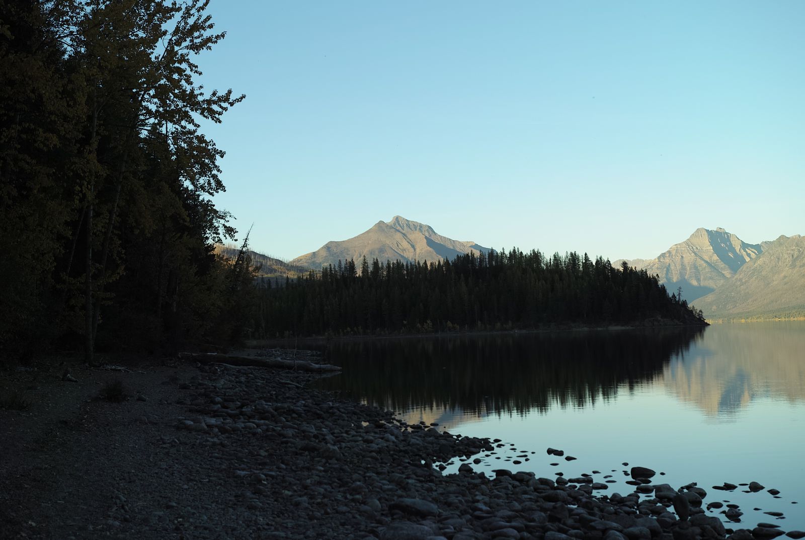
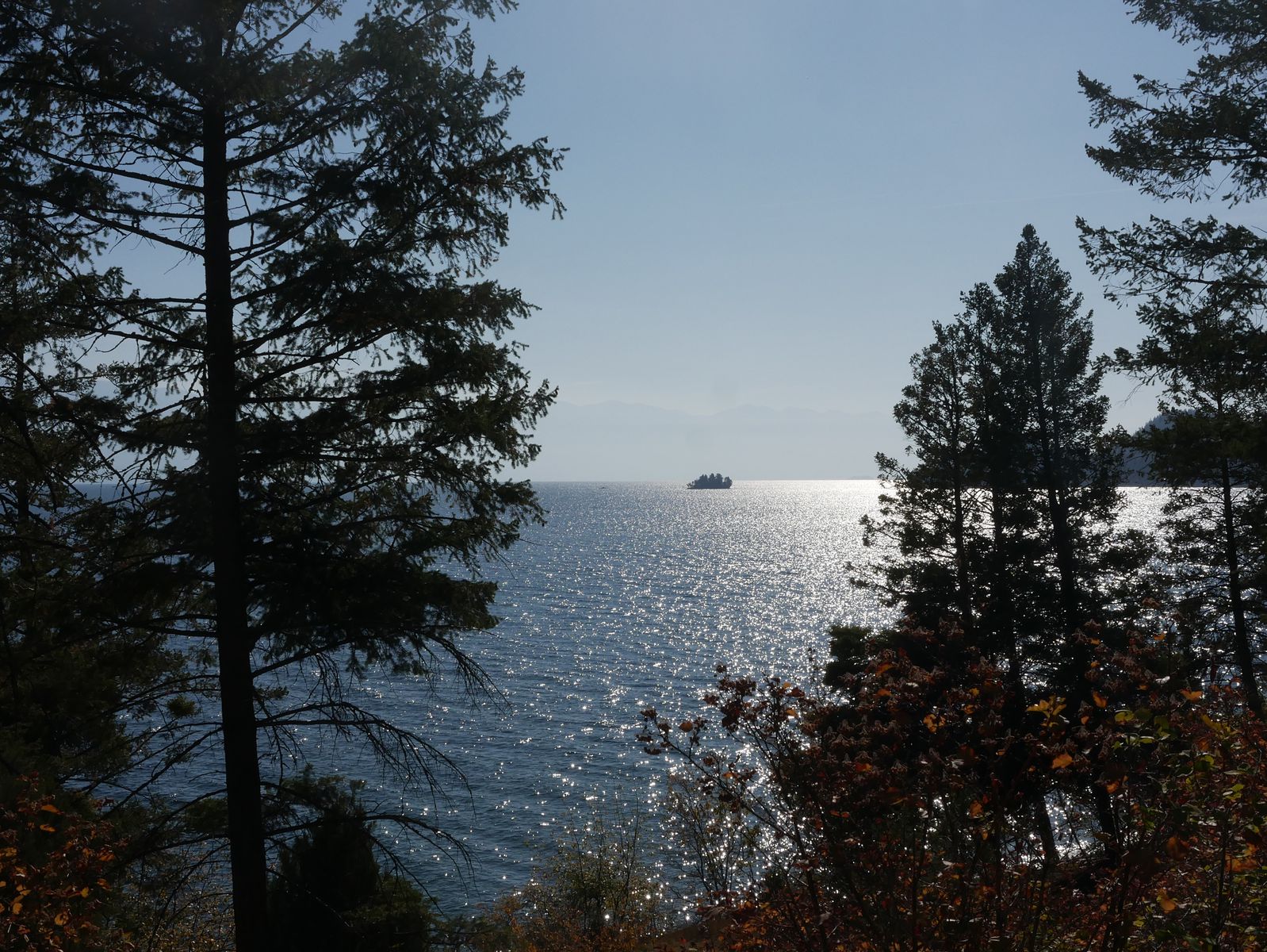
We were so close and so far from Glacier National Park. The season winds down there quite early – a big part of why I didn’t try to stop there on my drive from Pennsylvania to Seattle. Moreover, road construction meant that the road through the park basically was closed just past the Western entrance.
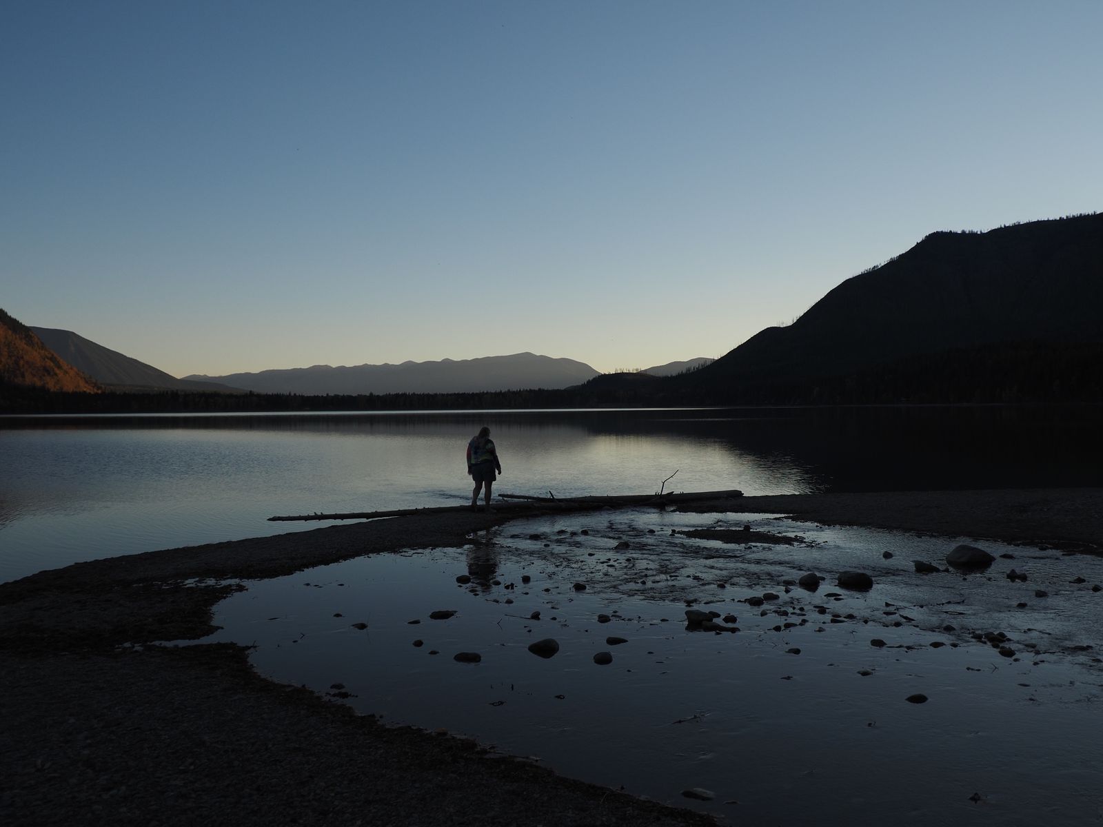
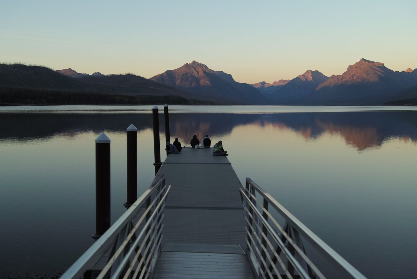
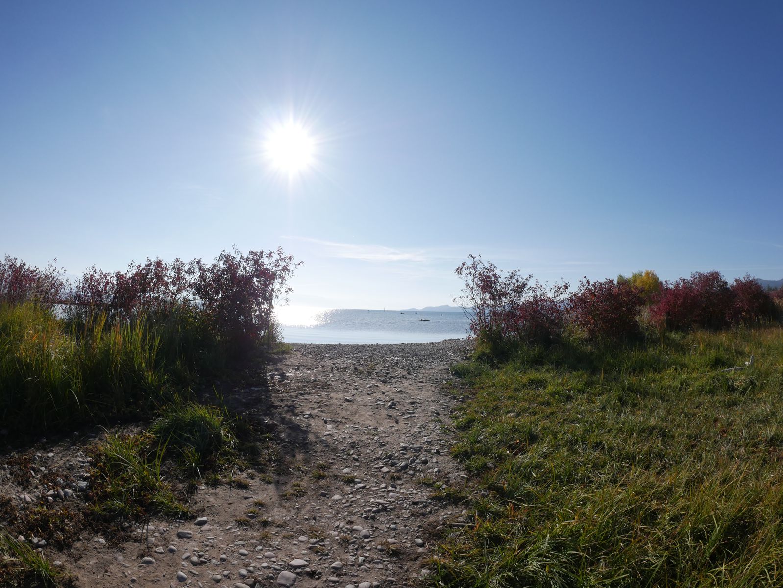
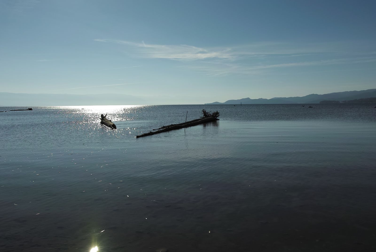
Still, Apgar Lake was accessible. And Apgar lake was beautiful as all get out.
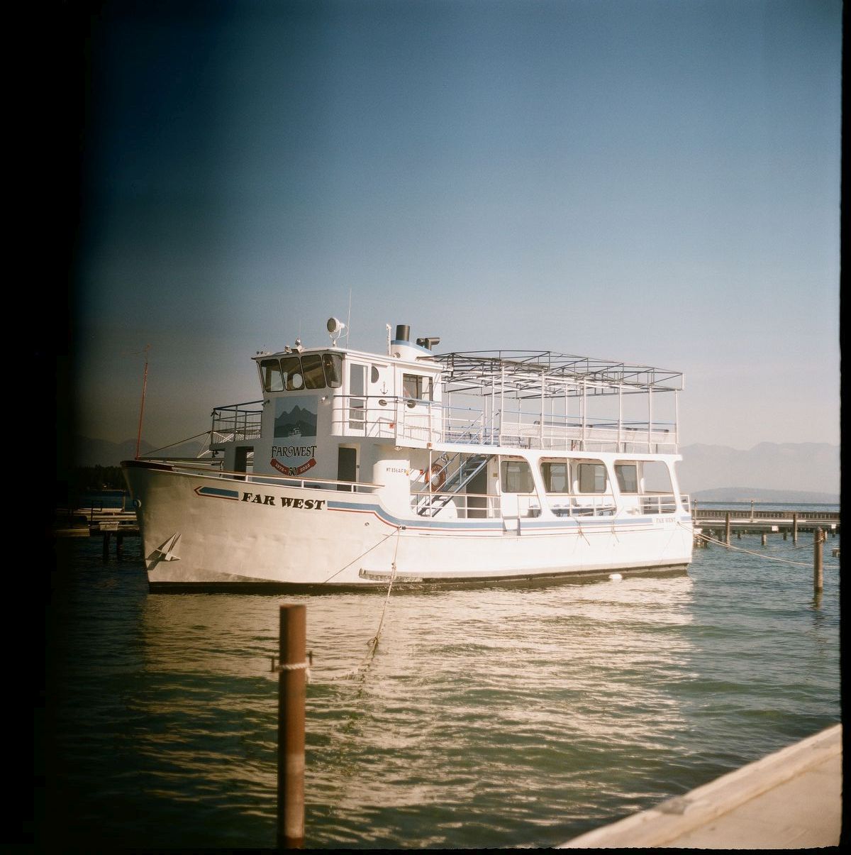
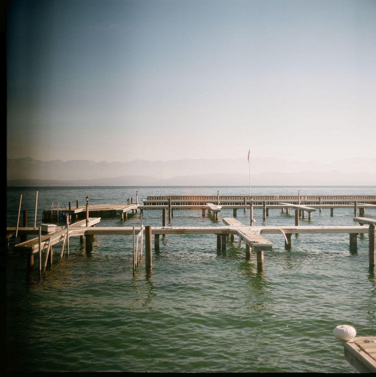
I'm not sure why I'm getting black banding (a potential issue with high shutter speeds) here in this scene, when I recorded myself as using the same shutter speed at Tobacco Plains, where I had no banding. Regardless, this boat makes for a beautiful scene, and I will try not to use the Kiev 60 at max speed.open_in_fullinfo
I'm not sure why I'm getting black banding (a potential issue with high shutter speeds) here in this scene, when I recorded myself as using the same shutter speed at Tobacco Plains, where I had no banding. Regardless, this boat makes for a beautiful scene, and I will try <em>not</em> to use the Kiev 60 at max speed.
As the lakeside fun faded, we both started feeling a desire for coffee. The only problem was, there was none to be found. Having entered a cellphone dead zone, it was a struggle to Google for a shop.
We decided to stop in the town of Camas, just near Hot Springs, Montana. The only problem, of course, is that there were no coffee stands, and no open cafes. Technically, there might have been coffee at a hot springs resort, but who wants to bark up one of those trees?
Ultimately, we stopped at a gas station just past town. Chelsea picked up some coffee there while I made sandwiches. It was pretty gross and thin, but it was coffee.
And, just over a few more hills, there was a coffee stand, at last.
From there we continued back into Idaho, past the beautiful surrounds of Coeur d’Alene, which looked like a beautiful destination in its own right. Chelsea snoozed as I drove past Spokane, though it was her turn to drive after we had a pit stop in Eastern Washington.
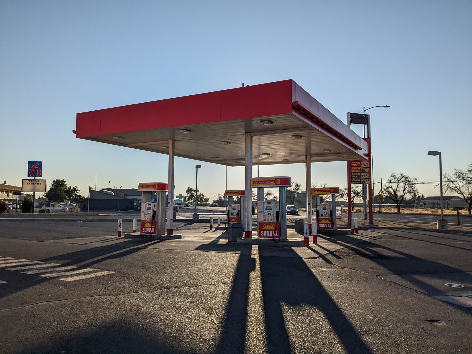
We stopped at a gas station, pictured below, and then an espresso stand that also sold tamales. I bet you can guess what I had for dinner.
The framing is a little off, but I couldn't resist capturing the trio of shadows.open_in_fullinfo