Birds, a Broken Arrow, and a Bed of Fossils in the Bulkley Valley
✍️ • 🕑 • Series: Towards the Beautiful Islands • Tags: museums • fossils • mountain towns • State/Provincial Parks • bird photography • lakes • dreary days • & 2 More Tags • Places: Smithers, B.C. • Driftwood Canyon Provincial Park • Tyhee Lake Provincial Park
I embarked on a four hour drive with Prince George in my rear view mirror. My heart, heavier than expected.
My next stop: Smithers, B.C.
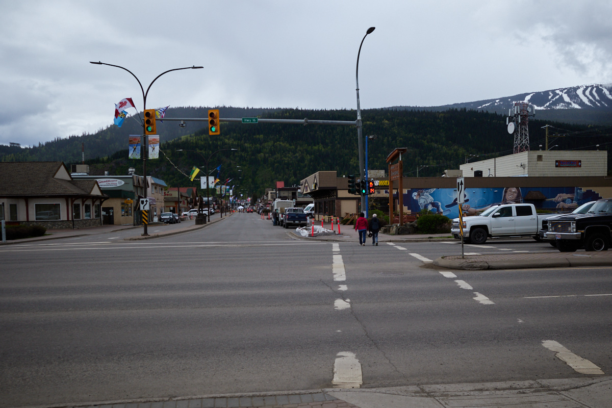
It’s a small town with a good reputation for recreation. Nestled between lakes and the Babine Mountains in the scenic Bulkley Valley, it is definitely the town to visit on the drive from Prince George to Prince Rupert.
So, naturally, I had opted to spend less than a day checking out the area, during a time when the mountains were snow covered and surrounded by clouds. 😓
Can’t win ’em all.
Table of Contents
Highway of Tears
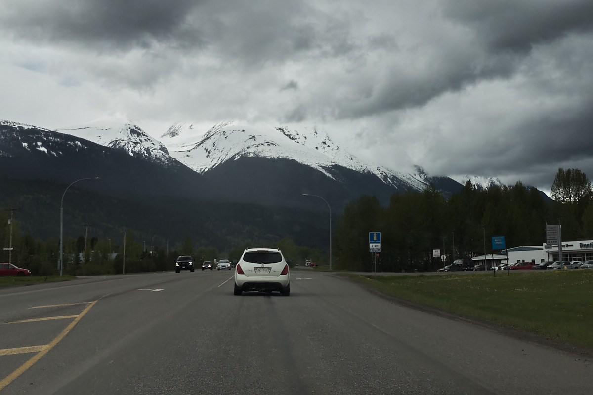
Before we get to the town of Smithers, let’s talk a little about the highway I took to get there.
As I drove along the highway, I was reminded a little bit of the Pennsylvania Turnpike. I mean, there was a hand printed sign declaring “Confused? The Bible Has The Answer”, and at least one billboard arguing that life began at conception.
The difference was all of the flyers and ads for missing persons: all First Nations faces.
The stretch of the Yellowhead Highway between Prince George & Prince Rupert is known as the Highway of Tears, owing to the numerous disappearances and deaths of (mostly First Nations) women over the last 50 years. Journalist Brandi Morin puts it succinctly, “Police say the number of unsolved cases is 18, but unofficial counts by family members and advocates put it at more than 50.”
You can (and should) read more about this topic, and I highly recommend Moran’s long piece for Al-Jazeera as a place to start.
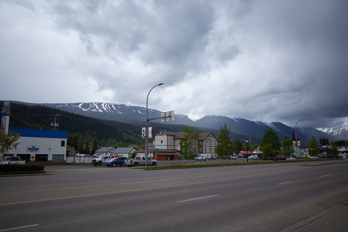
Broken Arrow at the Bulkley Valley Museum
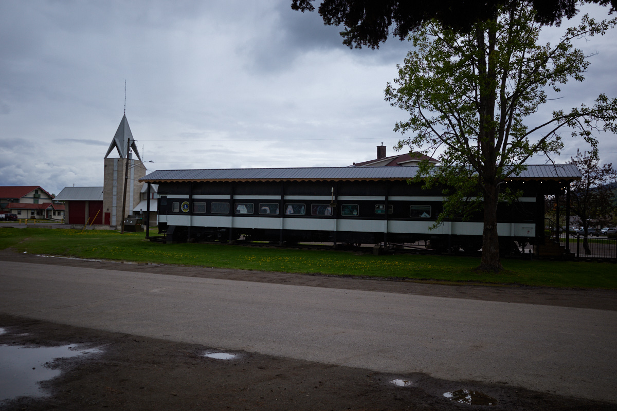
My first stop in Smithers was the Bulkley Valley Museum, simply because it was near the (closed) Visitor Center.
It’s home to a few exhibits: on settlers, prospectors, industry, the invention of the egg carton, and the culture of the indigenous Witsuwit’en people.
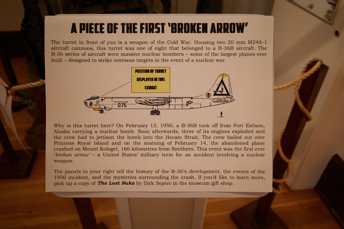
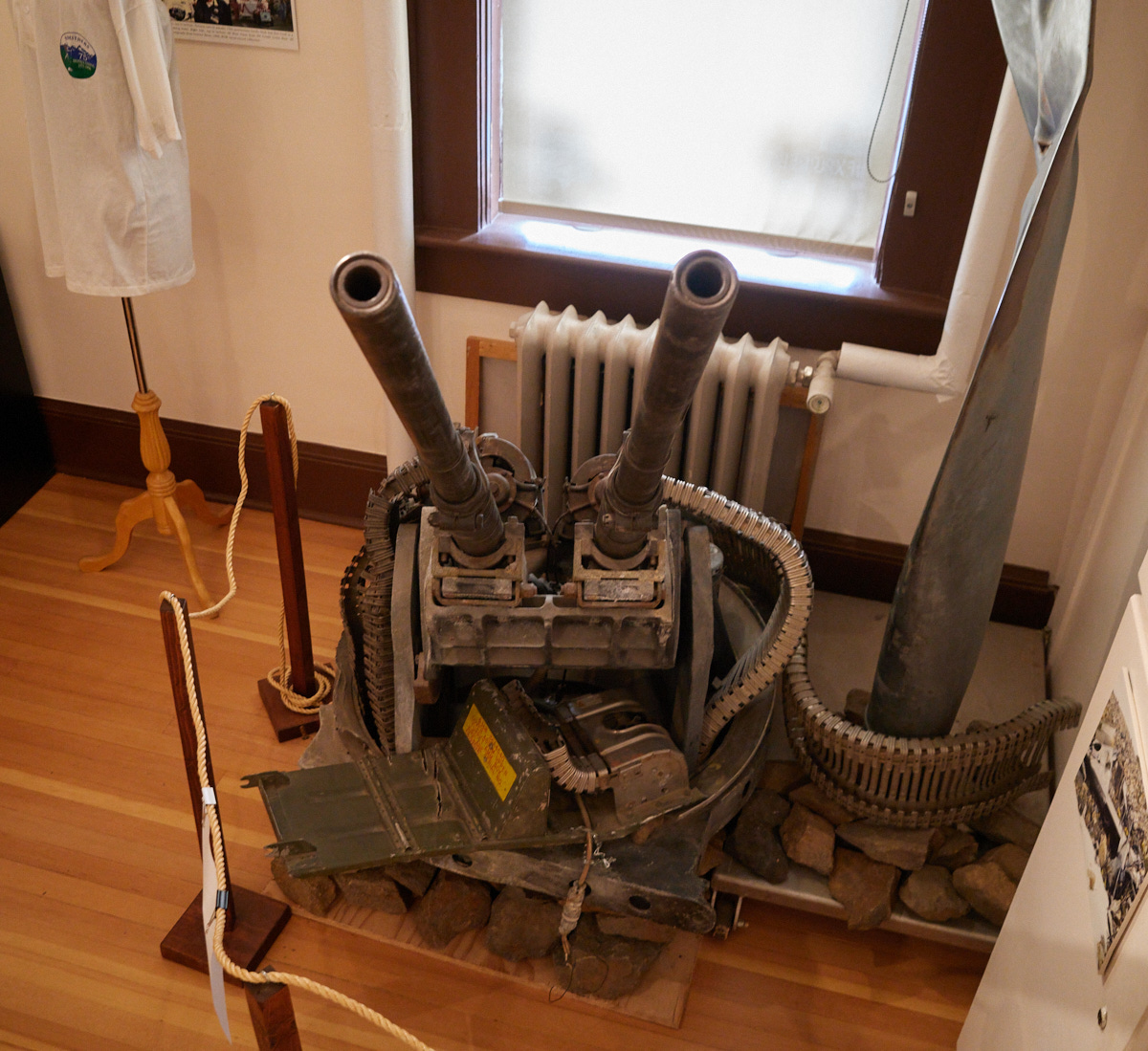
One of the exhibits that piqued my interest the most was on a “broken arrow.” In 1950, an American B-36 Bomber carrying a nuclear weapon went down after its engines exploded in flight over the Hecate Strait. The abandoned plane crashed near Smithers, and its turret is on display.
Downtown
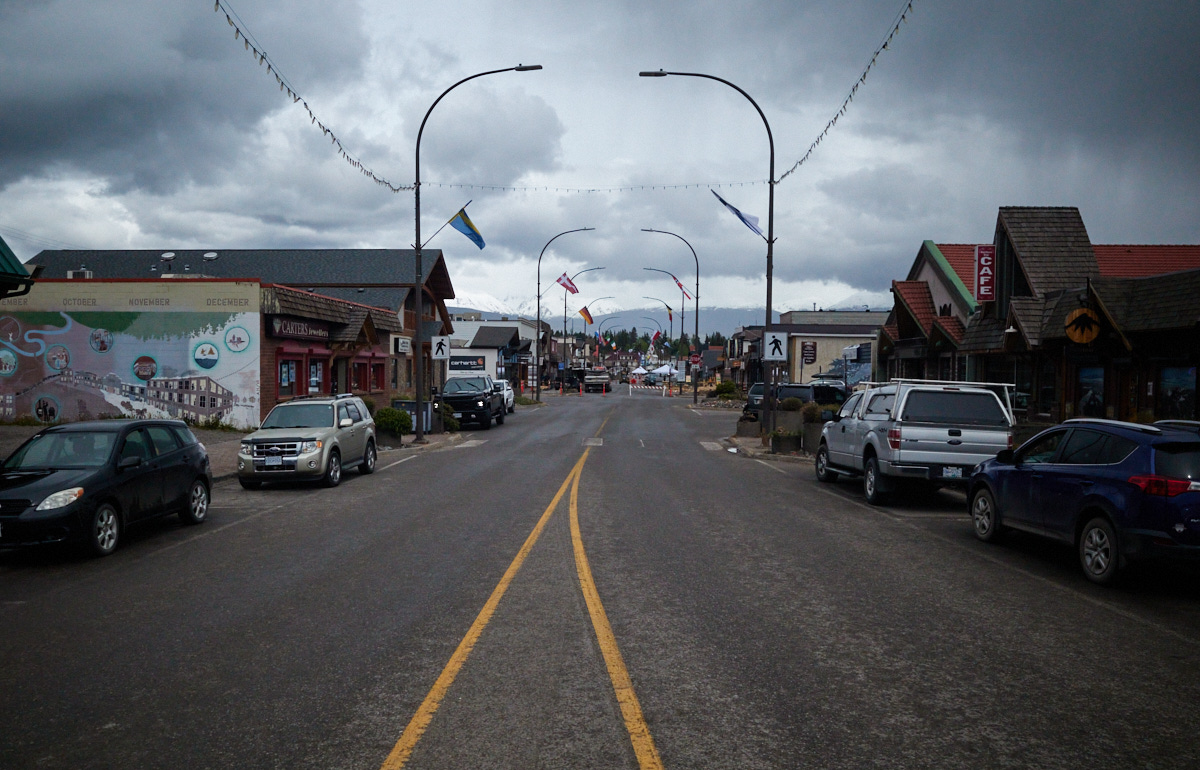
Downtown Smithers is a pretty, touristic area, full of opportunities for food, drink, gifts, supplies, and excursions to the nearby Babine Mountains, part of the Skeena Range of the Interior Mountains.
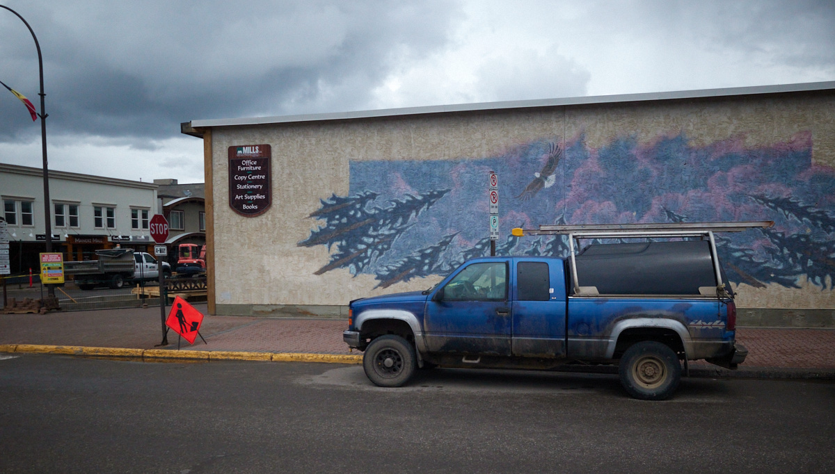
It was good for a walk around, and for me to replenish my supply of coffee beans. Frankly, it’s charming and it would have been fun to stay in town, or to have worked remotely from there for a while. Ah well.
Beds of Fossils
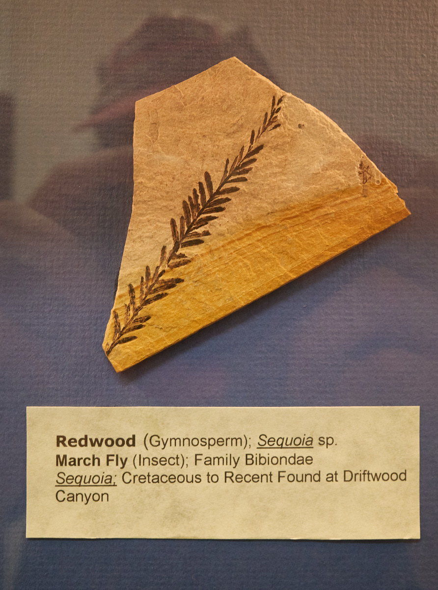
I wanted to visit one of the nearby provincial parks, but owing to the snow and fog, I thought it best to shy away from the Babine Mountains. No bother. I headed to Driftwood Canyon Provincial Park, which BC Parks claims is “recognized as one of the world’s most significant fossil beds.”
Every review online of the park (more or less) says that there isn’t much to see or do there, and it’s a shame that the place doesn’t have better upkeep. Either that, or they’re just right pissed that personal fossil collection is against park regulations.
My conclusion too is that it’s not the most exciting place to visit. The shale walls of compacted sediment were excellent for capturing bugs and plants, but viewed from afar they do not appear to strike one with world class beauty.
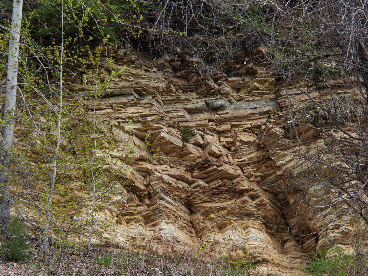
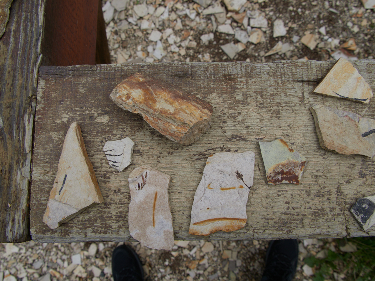
Despite not being the most attractive stop, it is still an extraordinarily cool place and one that I’m glad I visited.
Dirt Roads
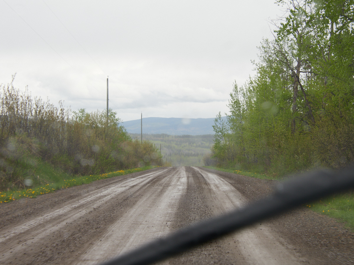
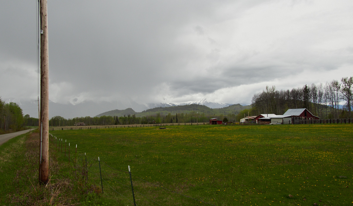
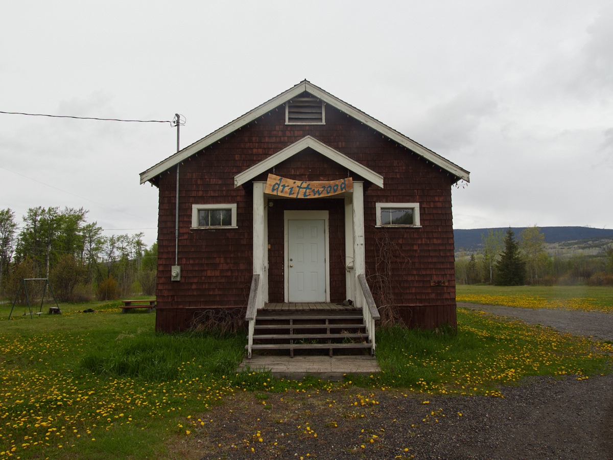
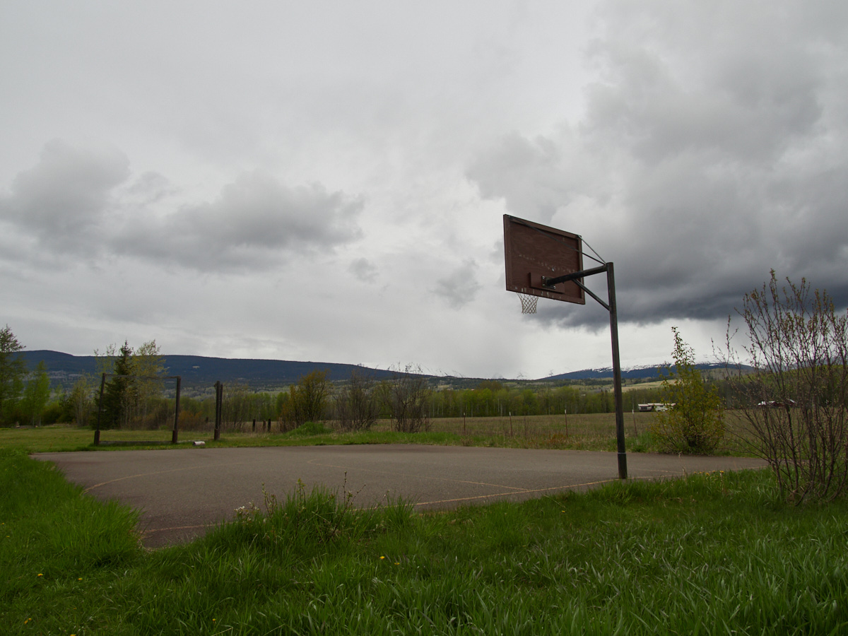
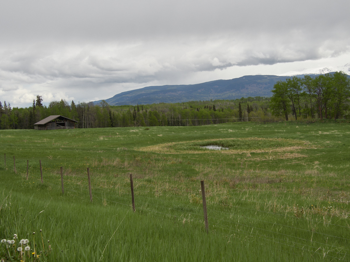
The surrounding countryside in the Bulkley Valley is gorgeous as well. The rolling hills and farmlands meant that my drive to Driftwood Canyon, and my drive to the campground from there were both quite scenic.
Birds
By about 5:30 or so, I was rolling into Tyhee Lake Provincial Park.
The campground here is large and slightly frustratingly organized. Take this sign for example:
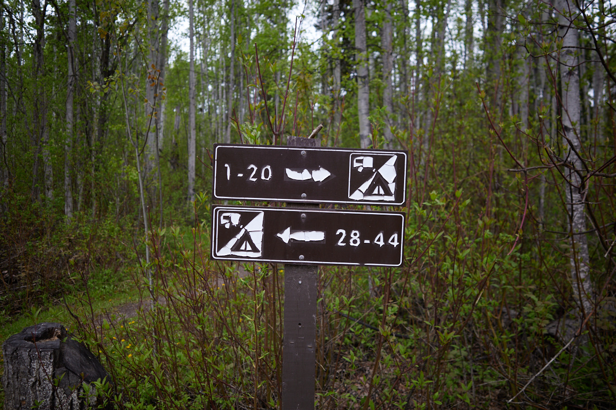
It’s straightforward enough – unless your site is say, in the range of 21-27.
(No, I haven’t passed them yet, and yes, one of the directions is the only correct way to get to them without looping around in spirals forever.)
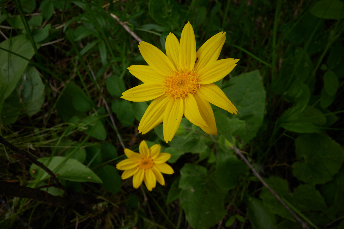
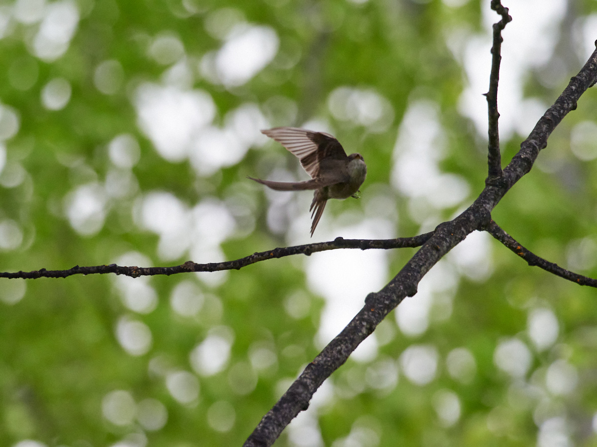
But hey, the lake is pretty and scenic, and the area had an abundance of bird life, albeit mainly of species that I had seen earlier or would see again on this trip.
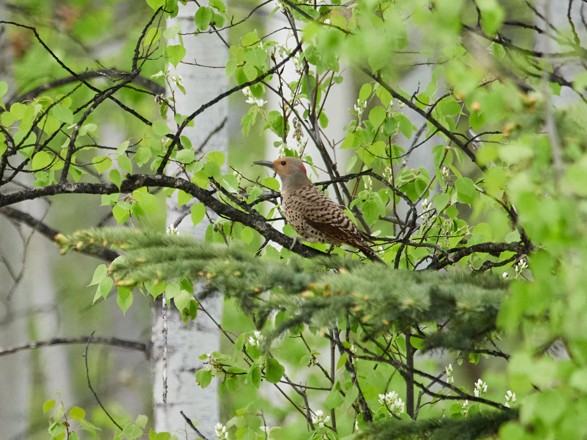
So yeah, I had a nice stroll with my camera to see what I could see. For these photos, I was challenging myself to shoot in full manual mode with a higher ISO. This means they’re a bit noisier, and that I wasn’t always on the ball. But whatever, it was a thrill to take them.
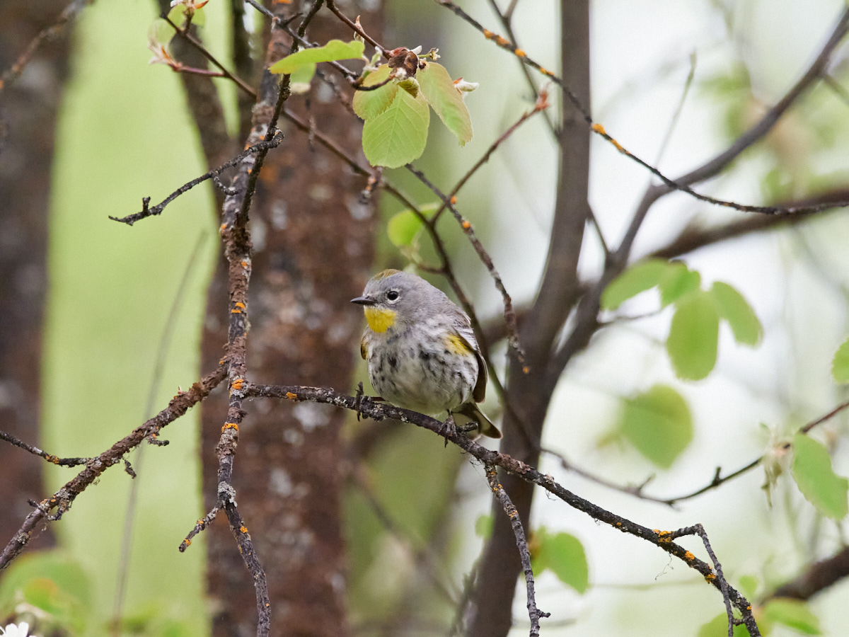
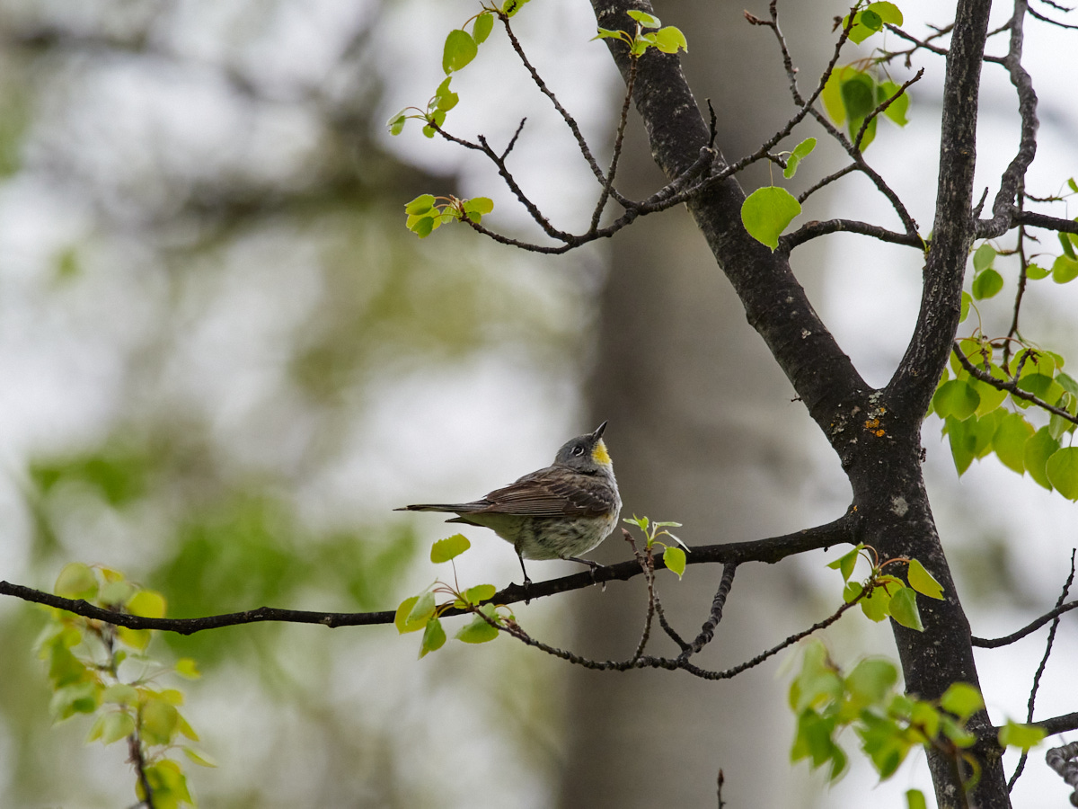
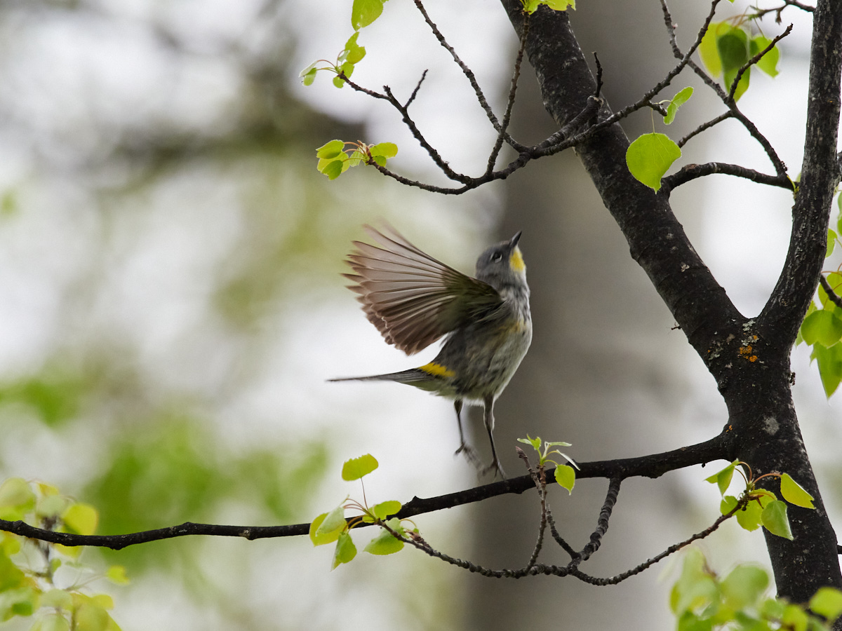
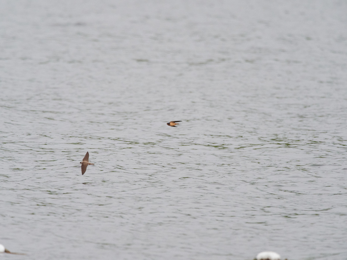
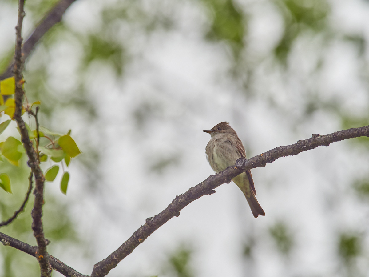
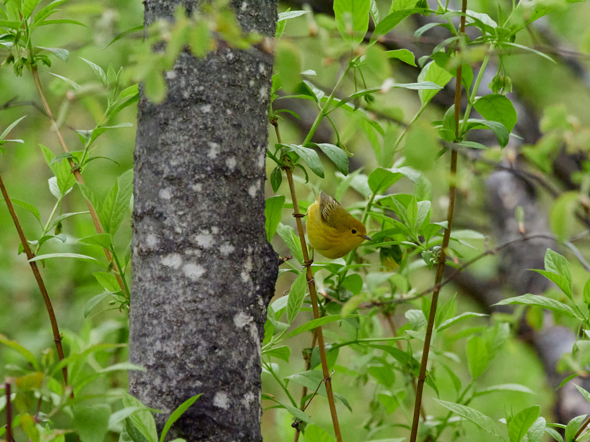
This last bird graced me while I was cooking, but stuck around long enough that I could get a shot.
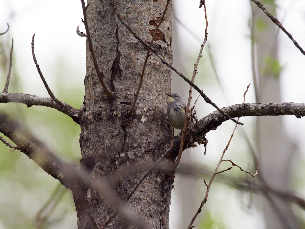
And with all that commotion over with, it was time for me to go to bed, and try using the new eyemask I picked up in Smithers or Prince George or wherever to block out the sunlight from my eyes.

Would this be a comfortable sleep aid?
(Spoiler: not really.)
This post was part of a series:
Thanks for reading!
If you enjoyed this post, you might enjoy these 5 similar posts:
- 2022-10-10 —Stewart, B.C. and Hyder, Alaska: Twin Towns at a Highway's End
- 2022-10-16 —Torpid in Terrace
- 2022-09-17 —The Road to Robson
- 2023-01-08 —The Shapes In The Sky Are Eagles - Visiting Pesuta & Port Clements
- 2022-09-08 —The Battle Bluff Trail & A Less Frustrating Day in Kamloops