On one particular weekend in mid-March, the weather seemed nice enough for a little overnight hike around Ancient Lakes, Washington, a beautiful area that with a rich geological history… and a lot of horses, kids on mountain bikes, and loose boulders.
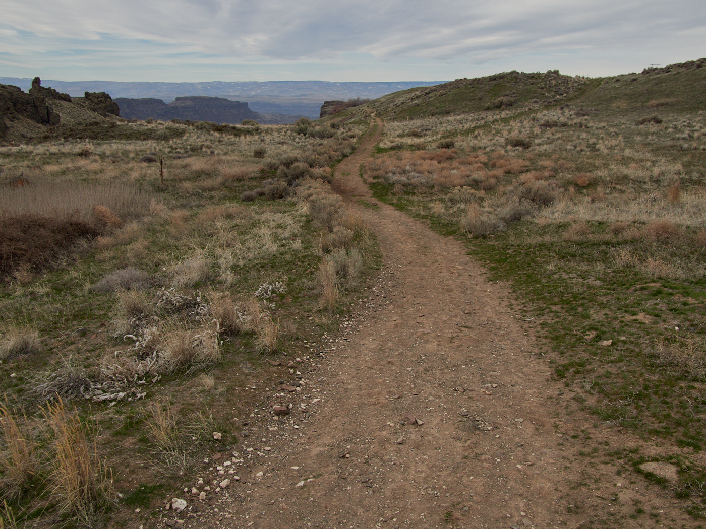
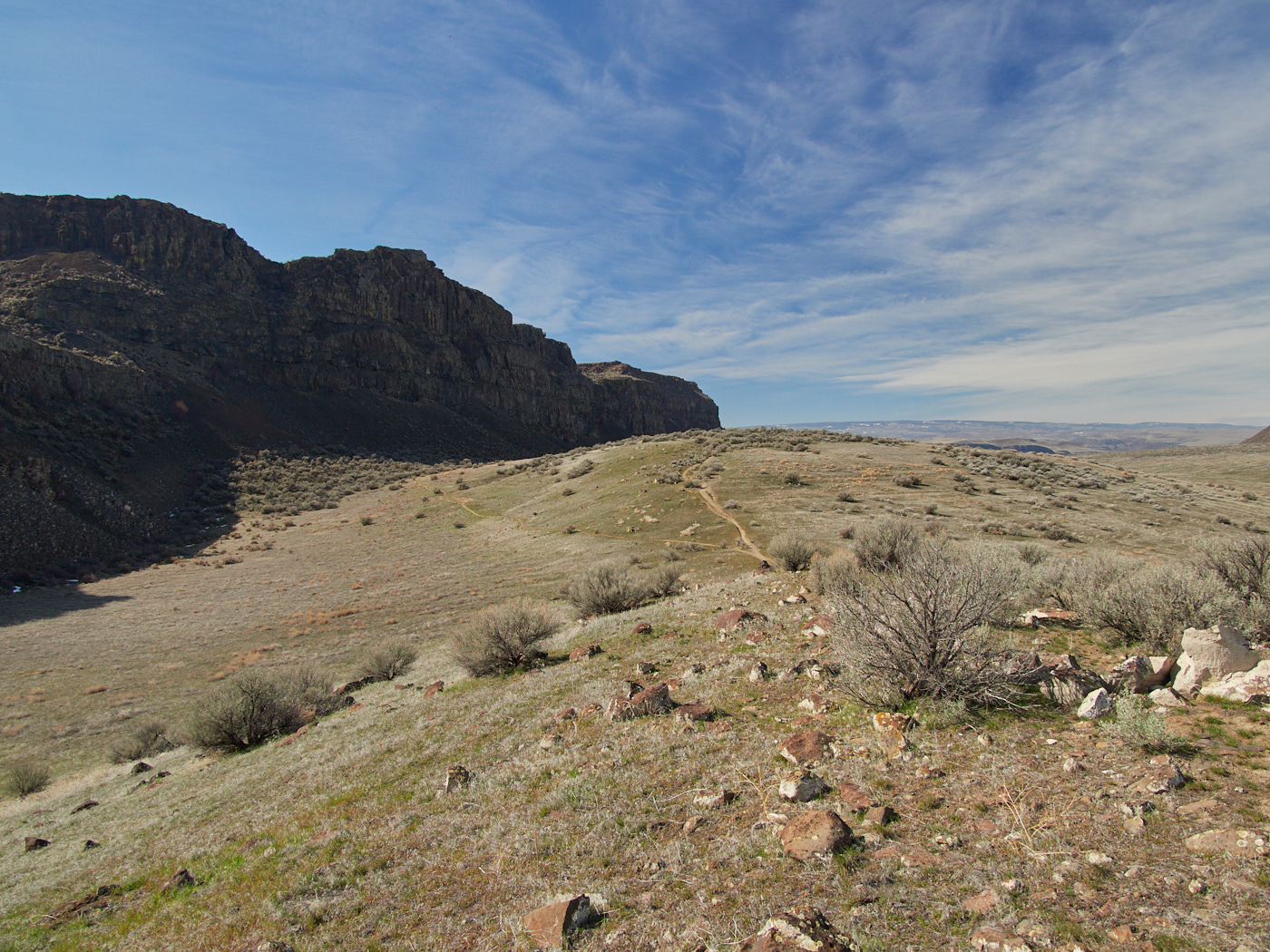
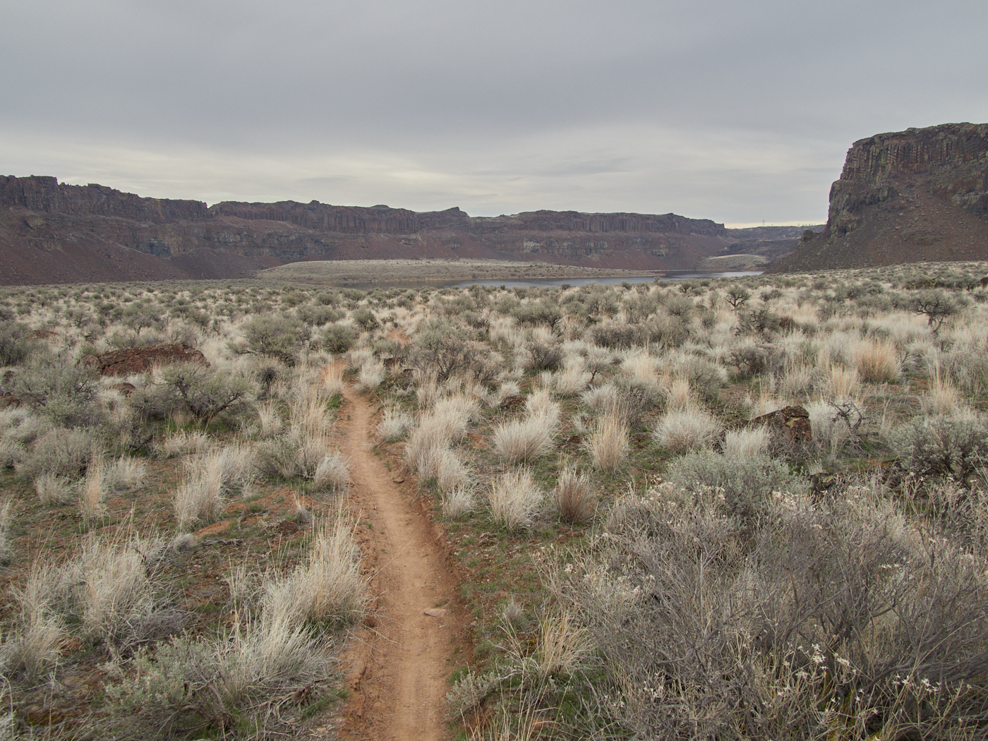
A view early into the Ancient Lakes Trail, showing just how remote and untouched the landscape truly is.
A visit that could raise the following, suspenseful questions:
Will Steve manage to find some solitude?
Will Steve stay warm and dry at night?
Will Steve be well-fed?
Will Steve be back to Seattle in time to join his 3PM workshop on perception of time & art?
How will Steve navigate the myriad of trails in the area?
Will Steve consume the lake water, rumored to be chockfull of nitrates and agricultural runoff from nearby farmland?
All this & more follows.
This element did not display properly. Do you have JavaScript enabled?
Planning / Prep
In terms of planning, I did a few things a lot better for this trip than I have in the past. For starters, I followed a few standard best practices. I planned out and printed my map ahead of time, down to deciding where I would probably want to camp for the night.
I needed to do this because the Ancient Lakes Trail is itself a 5 mile loop. (Well, except for the brief stretch where the trail has eroded away into nothingness…) But, there are a lot of paths in the area, and it seemed to me like it was a better idea to have an idea of where I wanted to go and what I wanted to see before I got there, lest I wander around aimlessly amongst the sagebrush.
I also decided that I had no interest in faffing about with a stove, since most backpacking meals require rehydration and… most water in the area seemed mighty unappealing. But, rather than just grab a bunch of packages and hope for the best, I actually took into account the nutrition facts, and number of calories.
This way, I would actually be able to gauge afterwards how much I exerted myself, and exactly how many calories I used to recover. Information useful for future trips!
In terms of actual eats, I stopped at the Grocery Outlet in Kirkland and wound up with a mix of spicy turkey jerky, chicken and waffles protein chips, dried figs, fruit snacks, walnuts, macadamia nuts, cashews, corn nuts, sesame sticks. Besides these, I threw in a leftover prepackaged muffin, and a few odd fig and granola bars for a grand total of 5,197 Calories and 250% of my daily value for sodium.
Good thing those snacks were for a day and a half, right? (And, I probably ate about 3/5 of them. But still, that’s probably too much sodium. I blame the turkey jerky.)
In terms of water, I figured four liters seemed like a good enough number, making sure to leave some other bottles in the car and down some hearty gulps before I left. I did not intend to drink from the water sources, which are allegedly quite polluted by fertilizer and sundry other nastiness.
I left town early in the morning, maybe around 6 or 6:30 and got to the trailhead around 9ish, having passed through gorgeous, gorgeous mountain passes on I-90. It was my first time traversing that whole section of the Cascades through that route.
(My car jams were Haroumi Hosono’s S-F-X, Scritti Politti’s Cupid and Psyche ’85, and Lizzy Mercier Descloux’s Mambo Nassau if you want three eighties albums that fit together beautifully!)
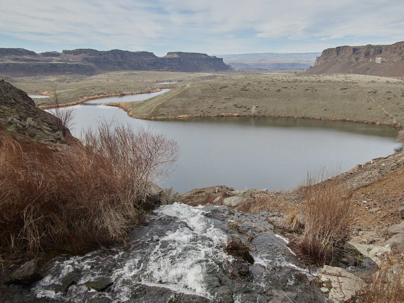
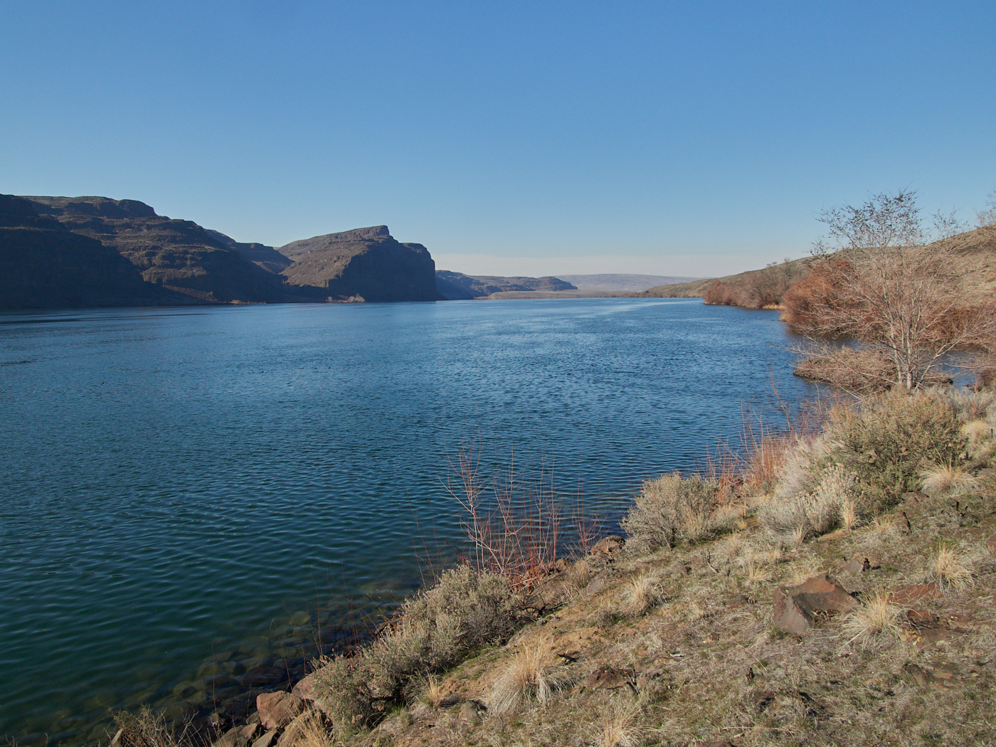
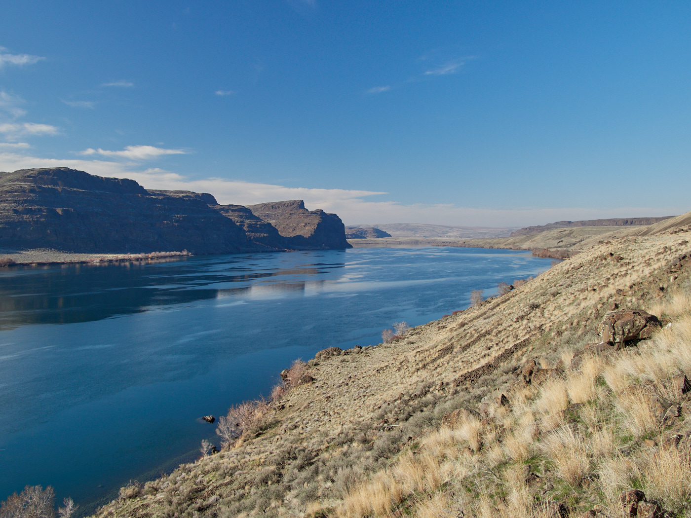
Ancient Lakes
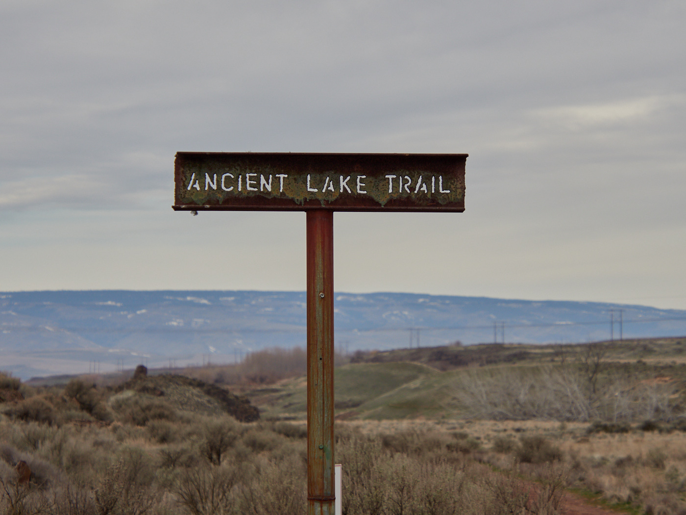
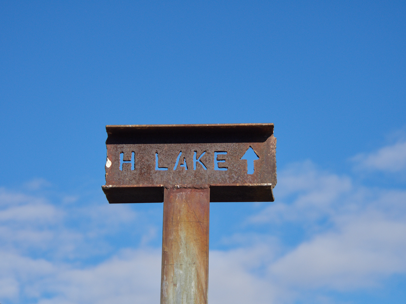
The sign for the trail -- I love how rusted it is, with all the punched out letters and whatnotopen_in_fullinfo
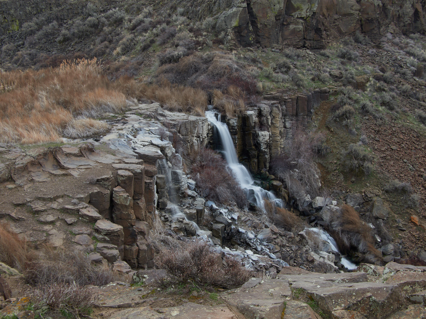
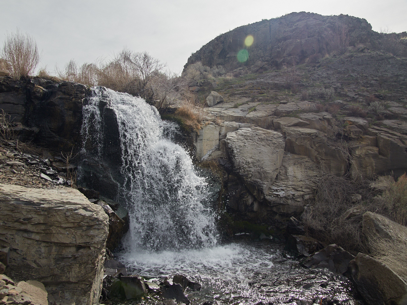
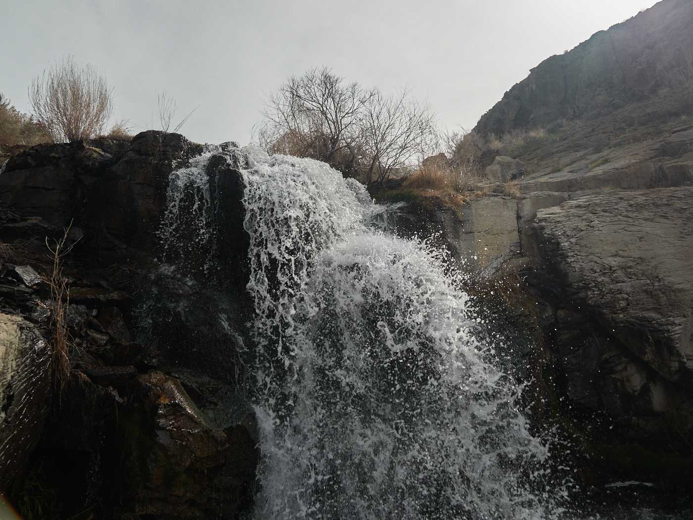
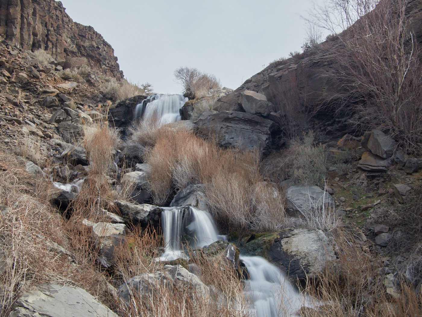
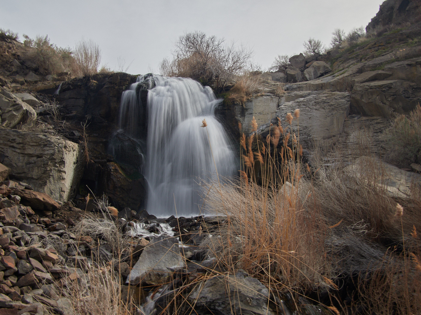
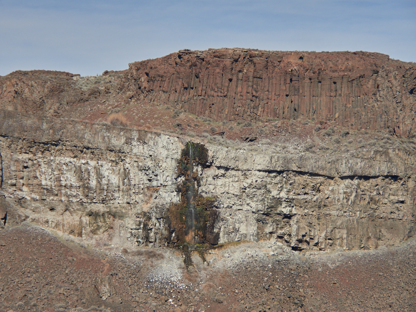
Between the waterfalls, there’s a section of trail marked on the topographic map as non-existent.
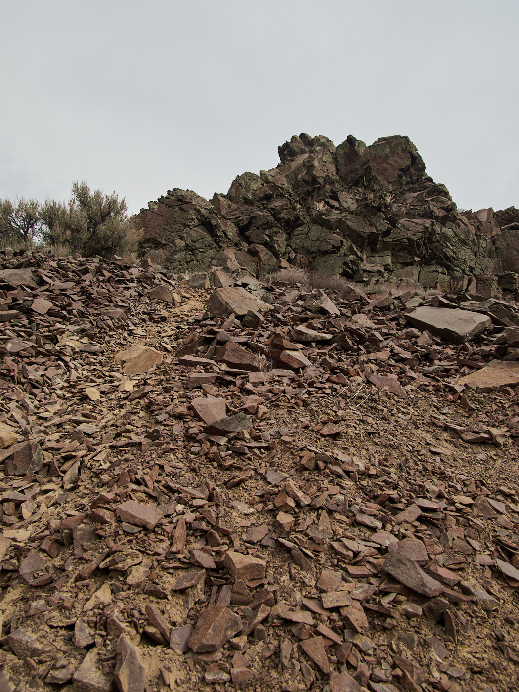
The trail here has eroded away entirely, and what remains is a slope of loose, sharp rocks.
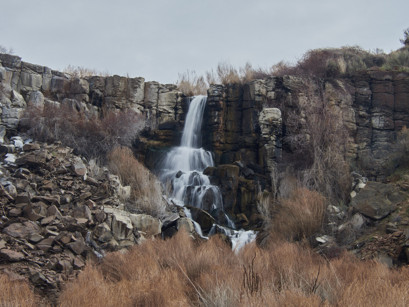
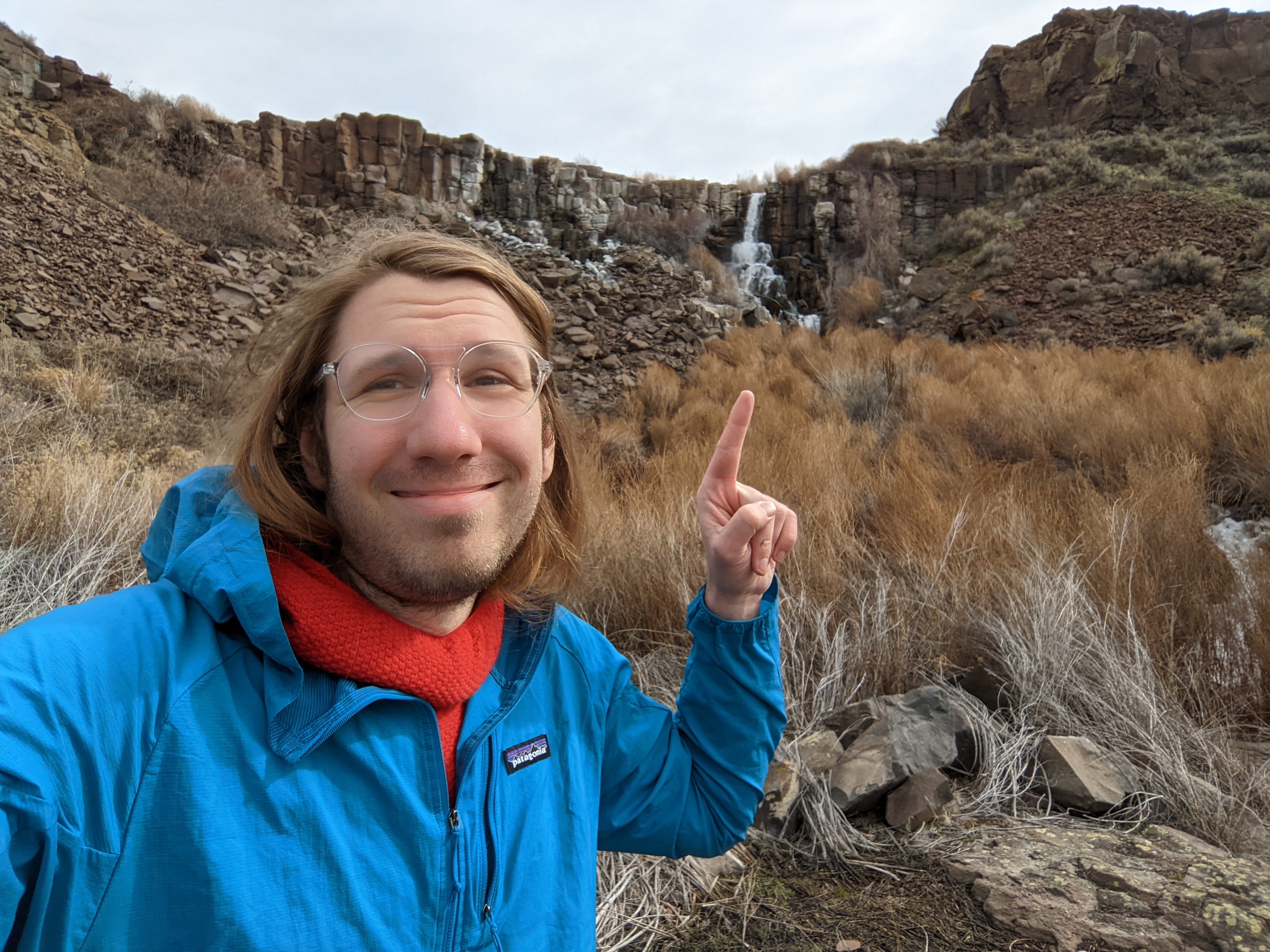
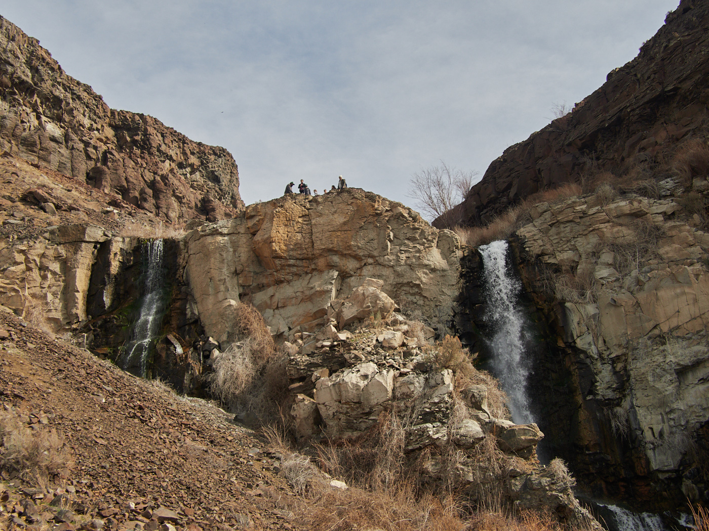
As I photographed the first waterfall, a group of horseback riders approached the precipice. It was their first time in the area, and they had decided to wing it.
There are plenty of horse-friendly trails on horse-friendly terrain below, but not this stretch.
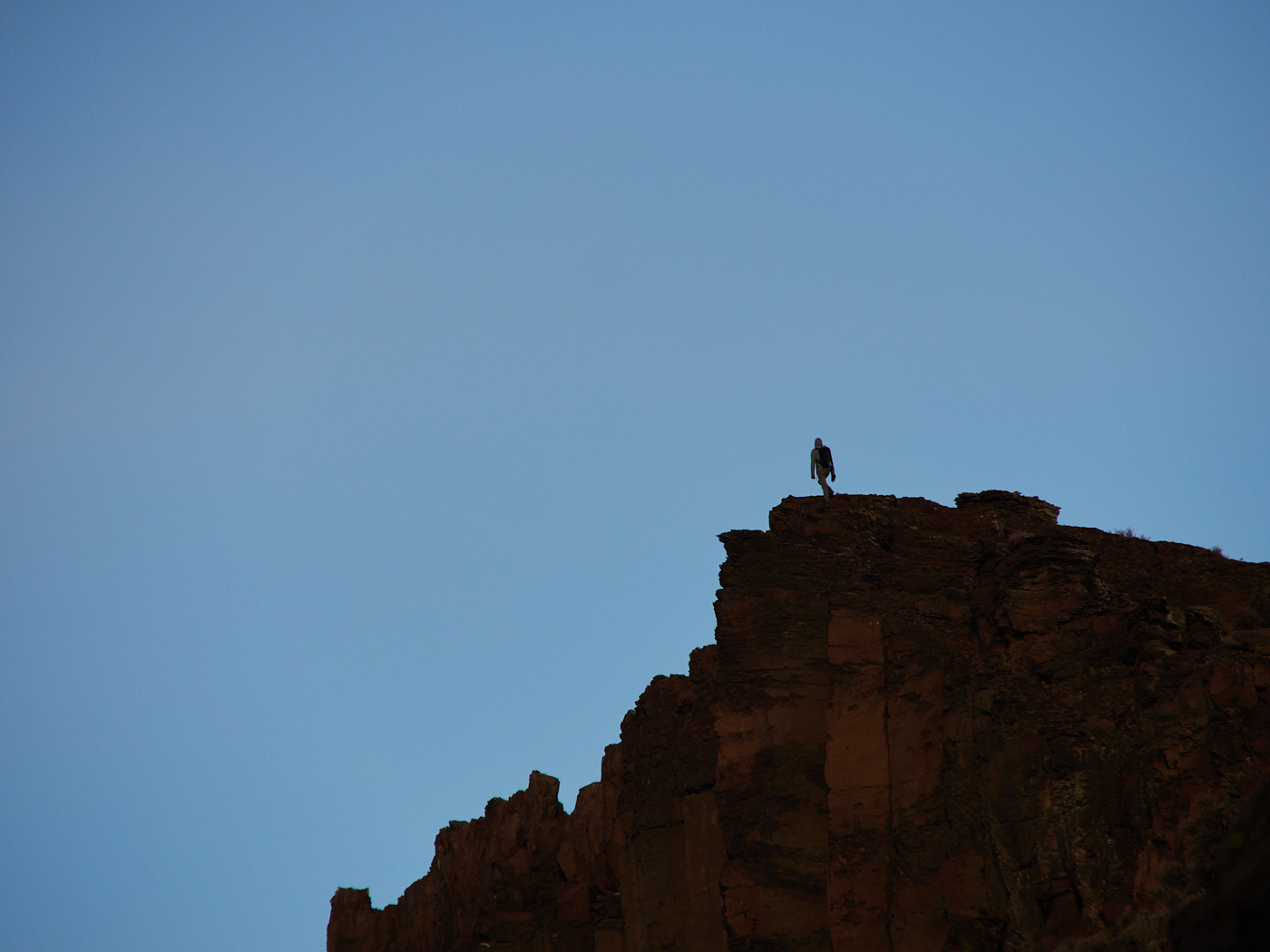
Can you imagine riding a horse down that?
Neither could the riders, who turned around.
A little descent ain’t gonna hurt anyone hiking, as long as they are careful and avoid falling… or slipping
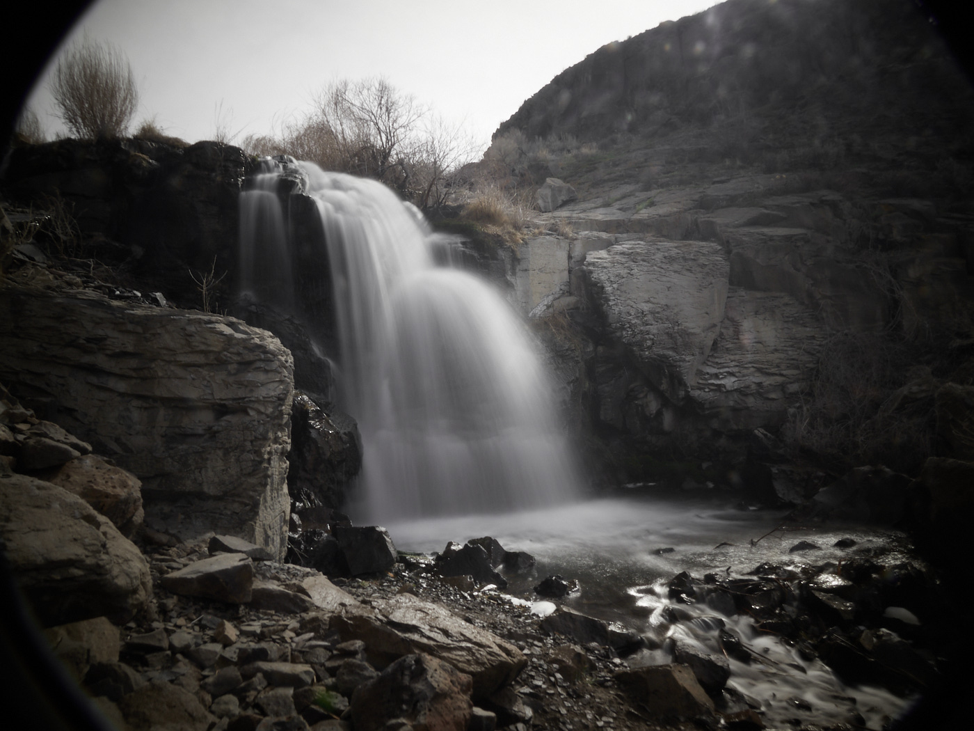
Handheld with two ND filters and a CPL partially askew. This is responsible for creating the vingetting, along with a fair amount of purple fringing in the corners, all tastefully edited in post.open_in_fullinfo
Handheld with two ND filters and a CPL partially askew. This is responsible for creating the vingetting, along with a fair amount of purple fringing in the corners, all tastefully edited in post.
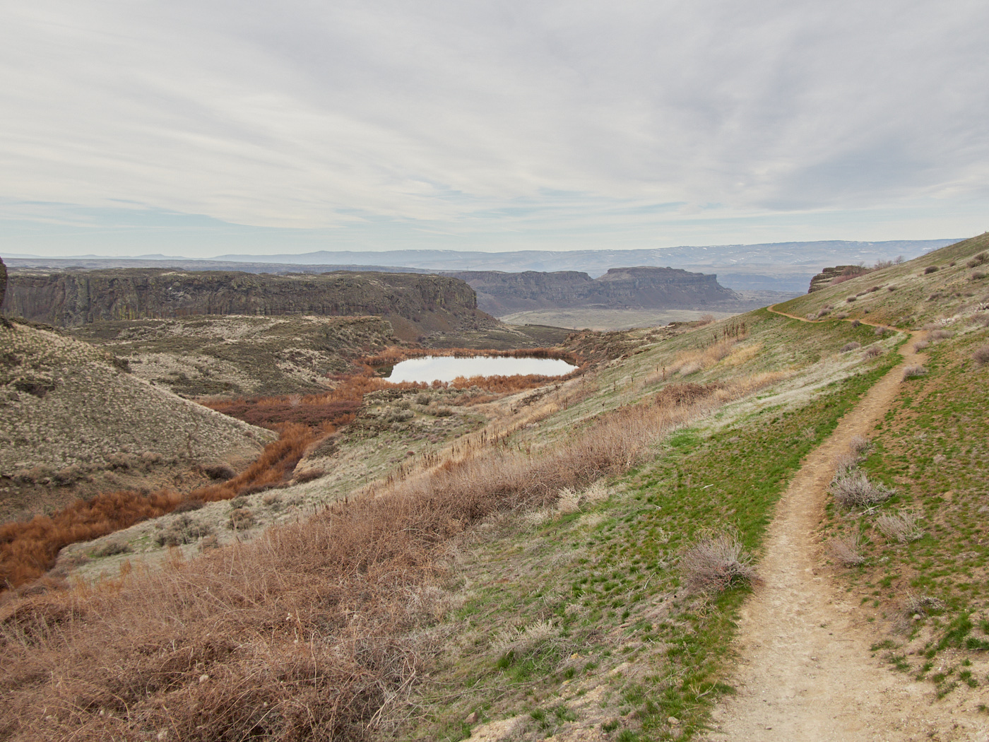
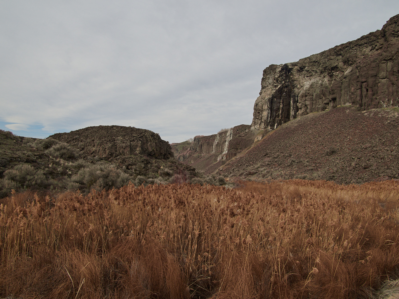
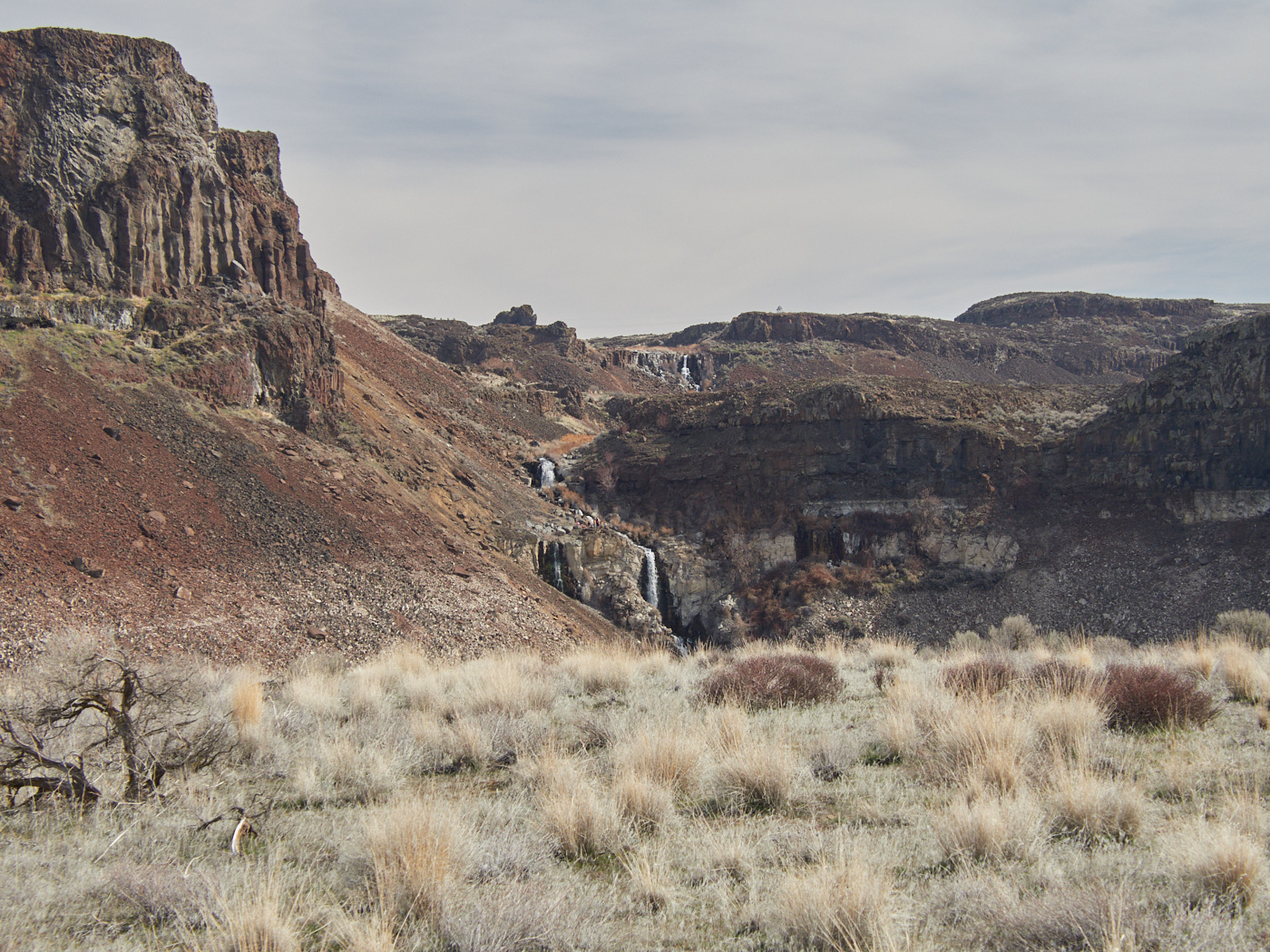
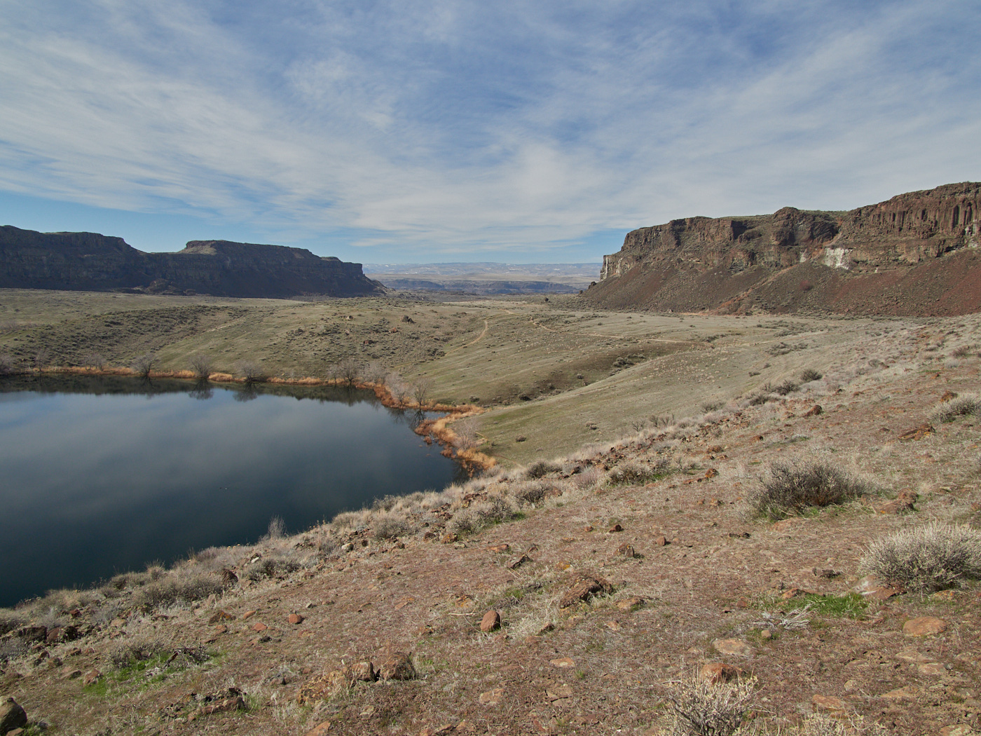
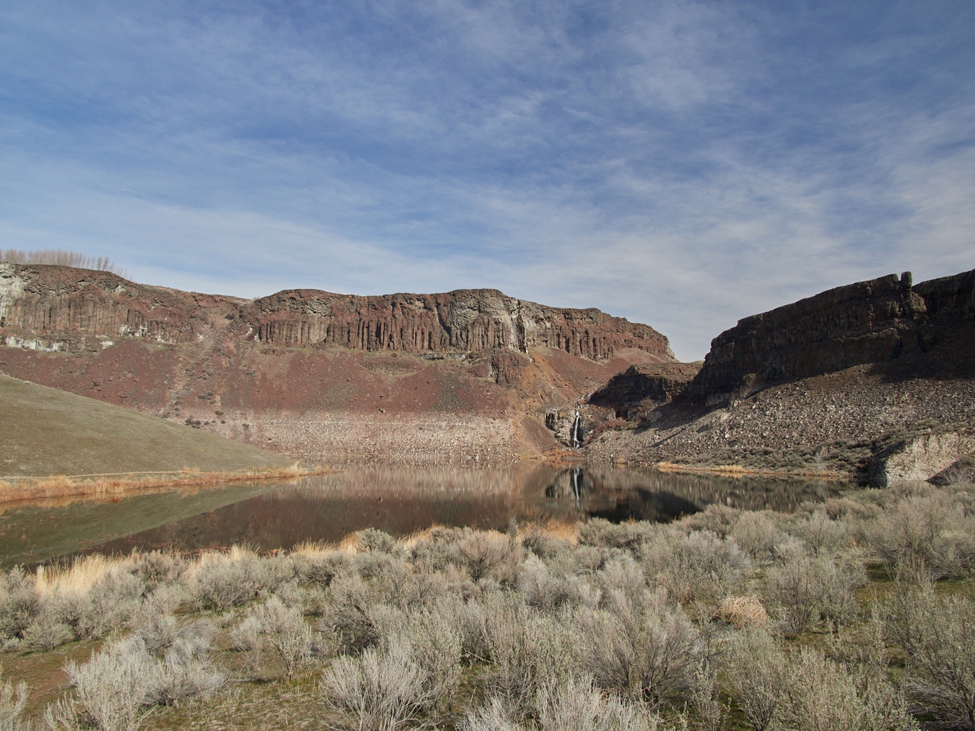
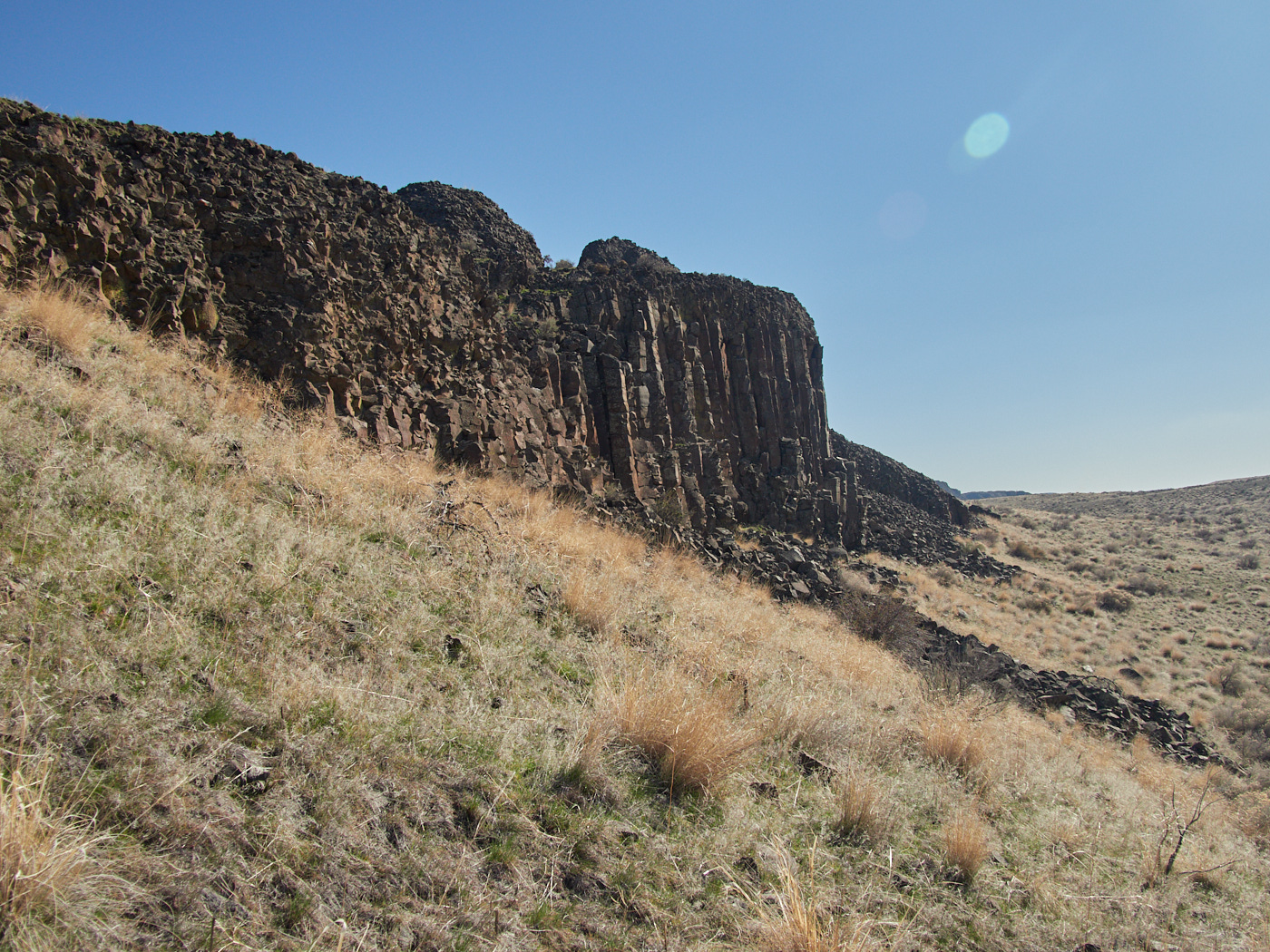
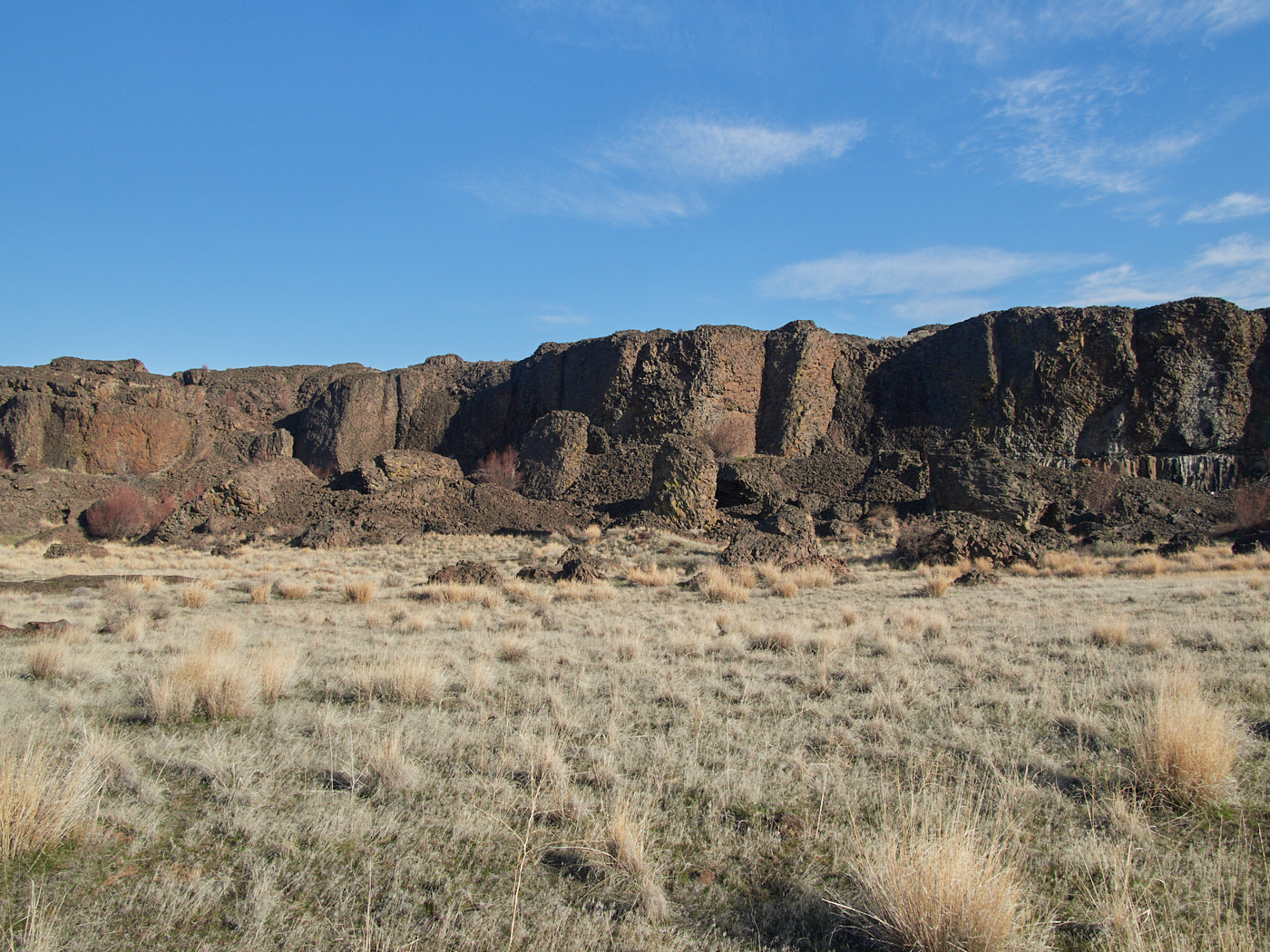
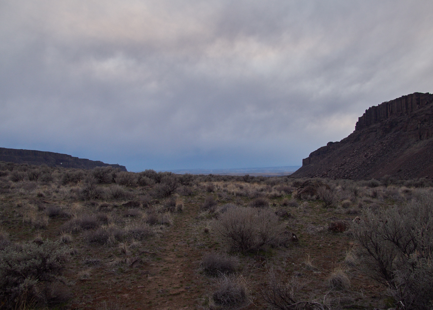
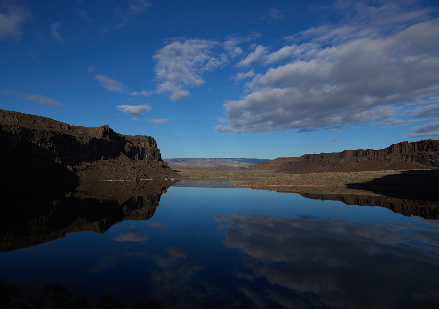
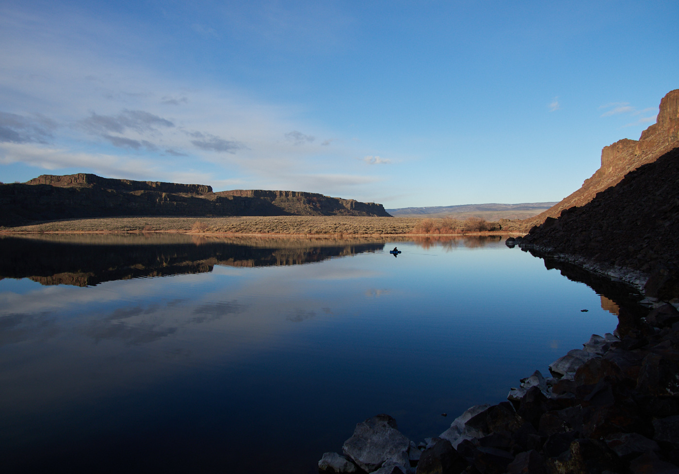
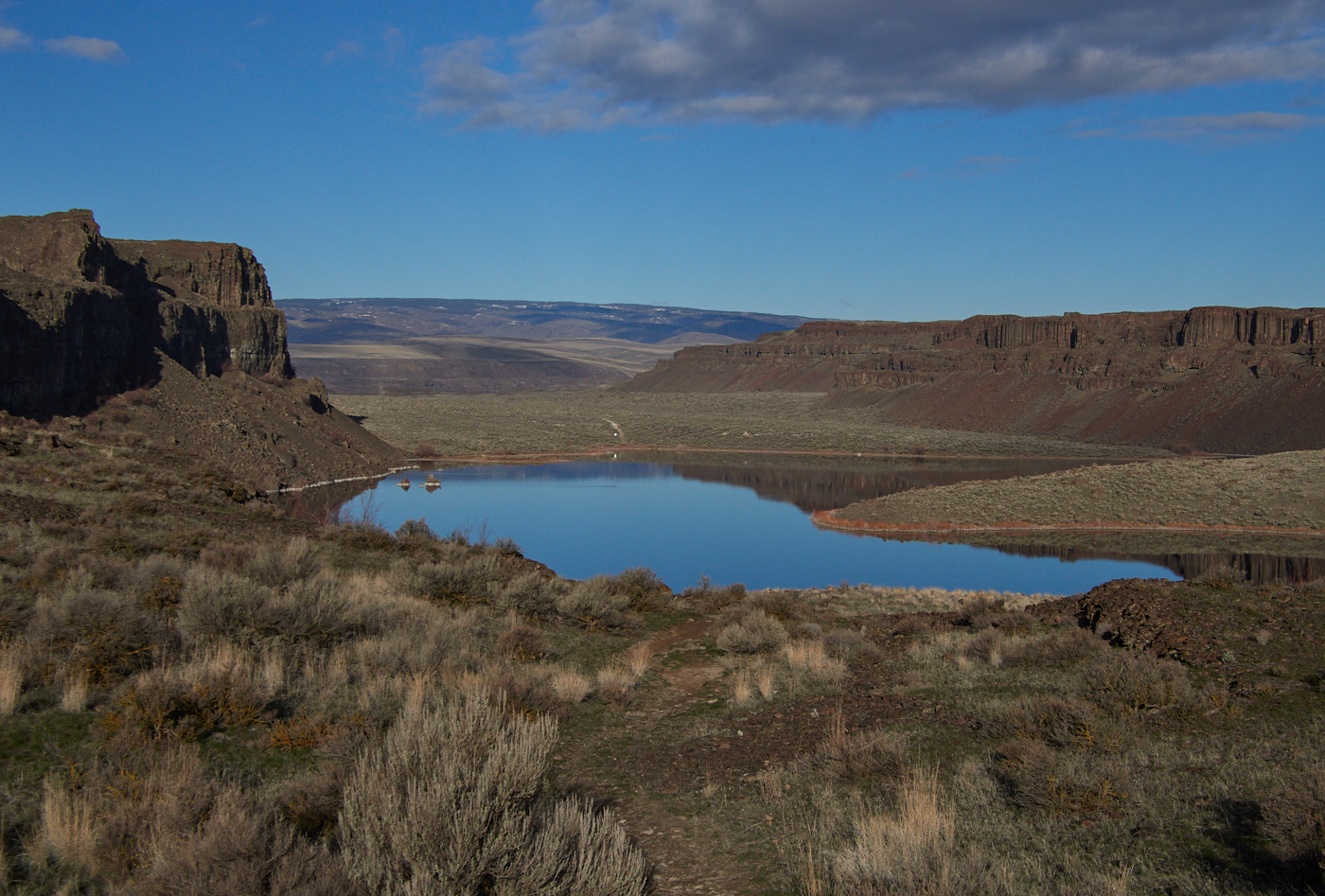
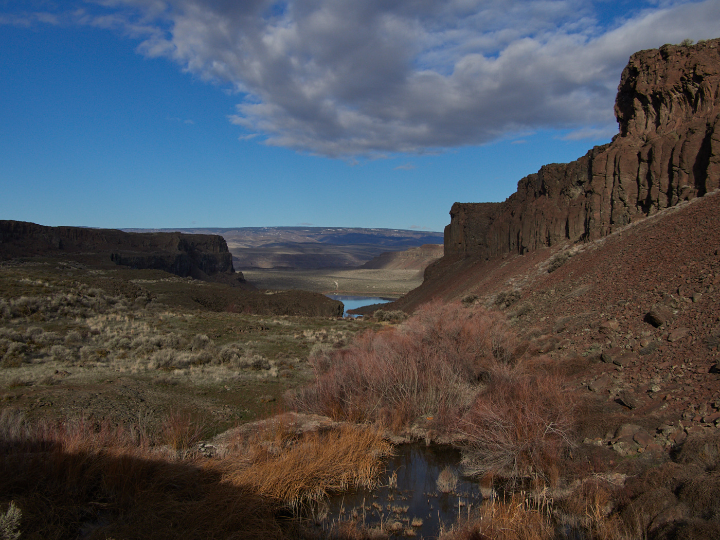
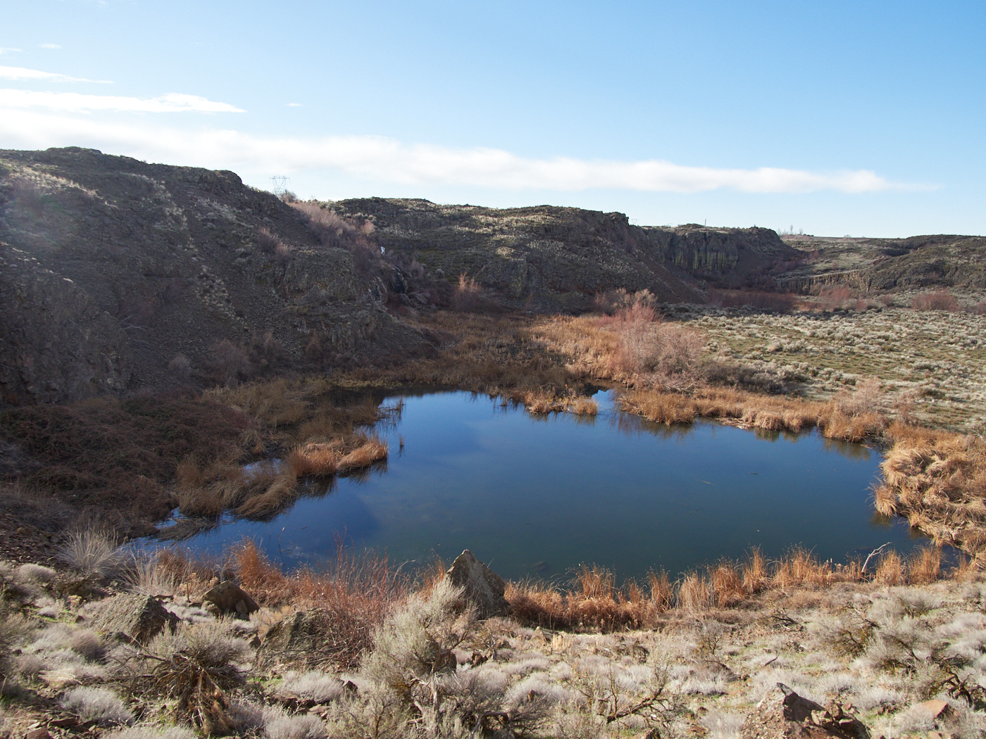
Once you’re down, down, down, you’re now on pretty level ground for the foreseeable future. You are between high walls of basalt. As long as you stay between them, there may be gentle slopes, but nothing too intense.
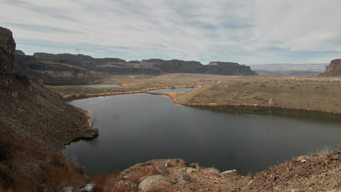
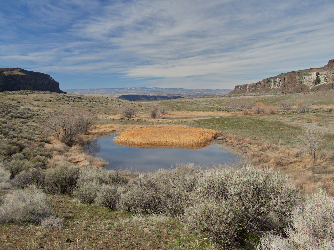
There’s not much shade, either. But, there are some ancient lakes.
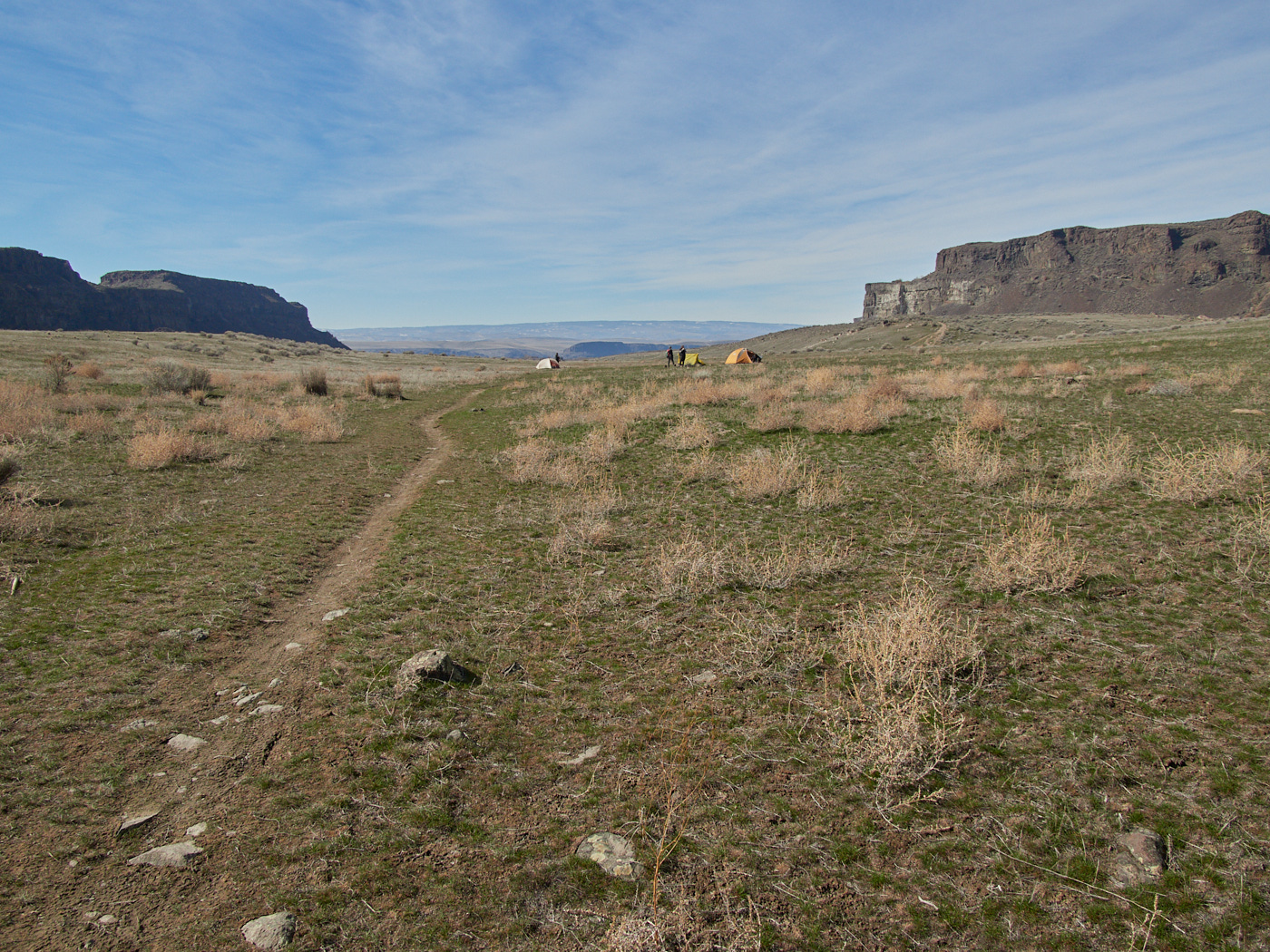
Some folks seemed to have already set up tents rather early in the morning. They could have still been camping there from the night before, but I got the impression they were there to hang out & had no plans of going nowhere.open_in_fullinfo
Some folks seemed to have already set up tents rather early in the morning. They could have still been camping there from the night before, but I got the impression they were there to hang out & had no plans of going nowhere.
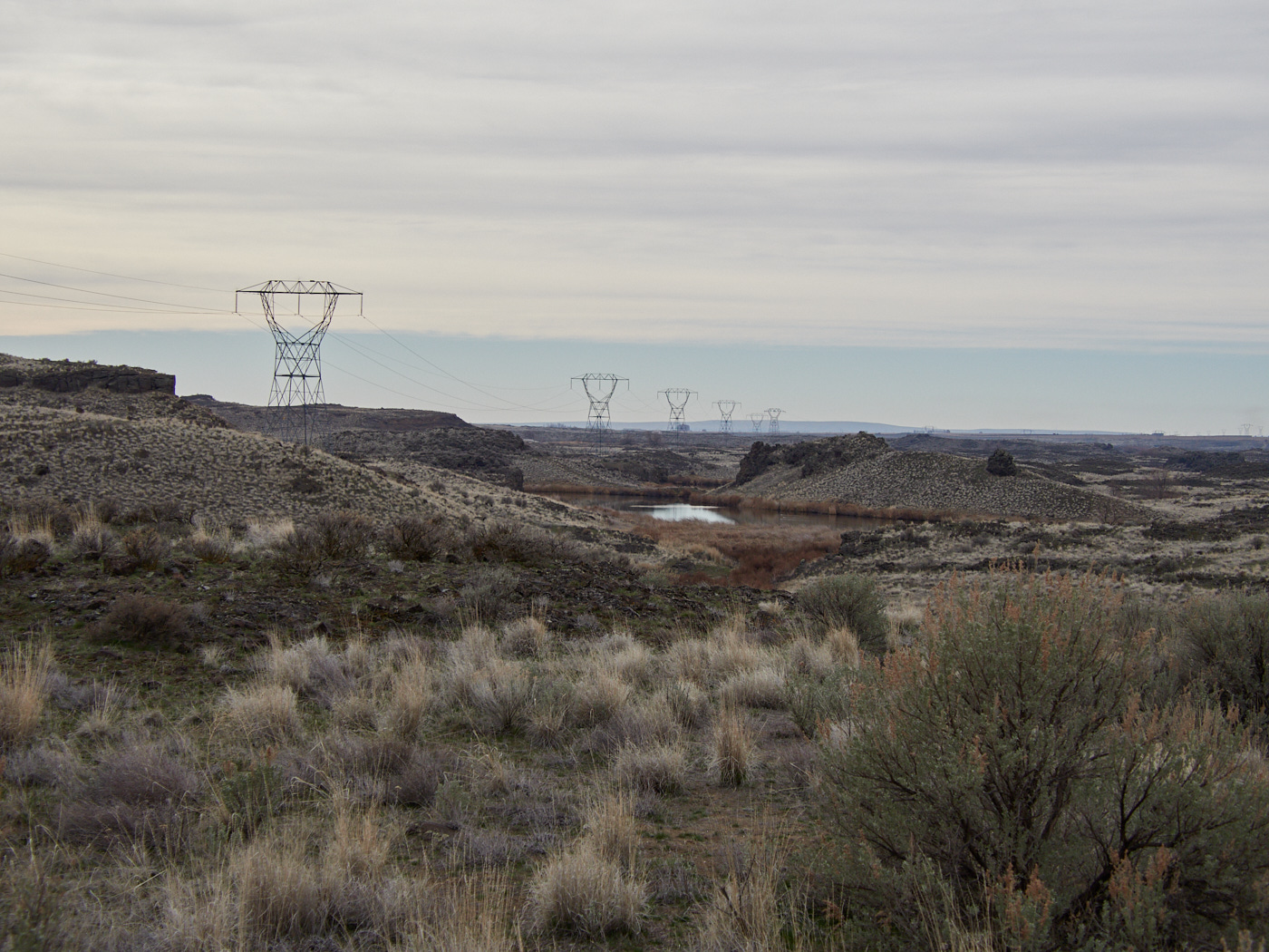
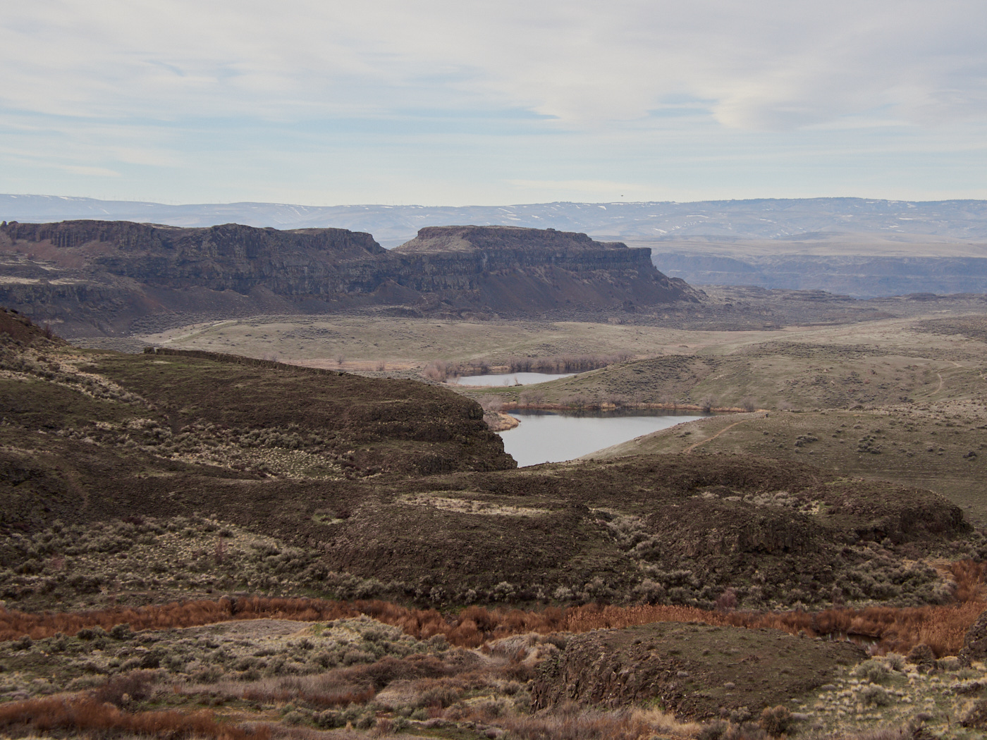
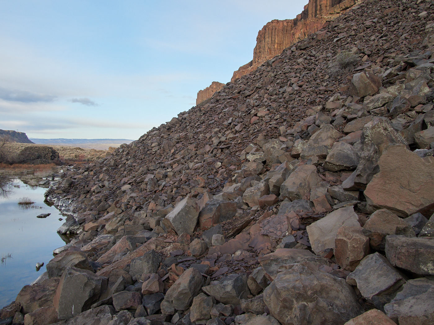
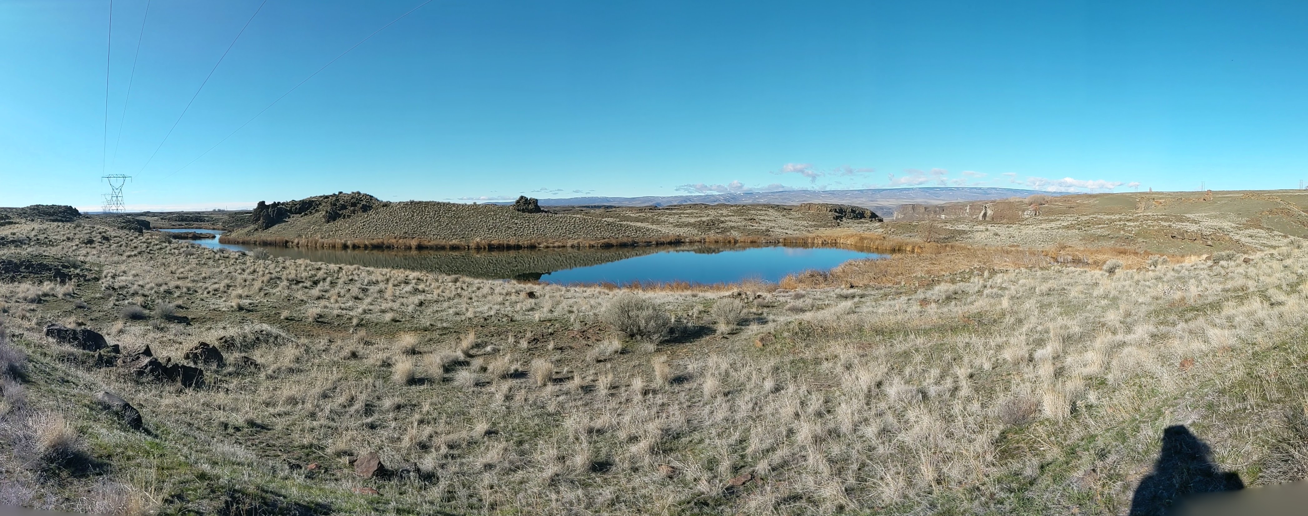
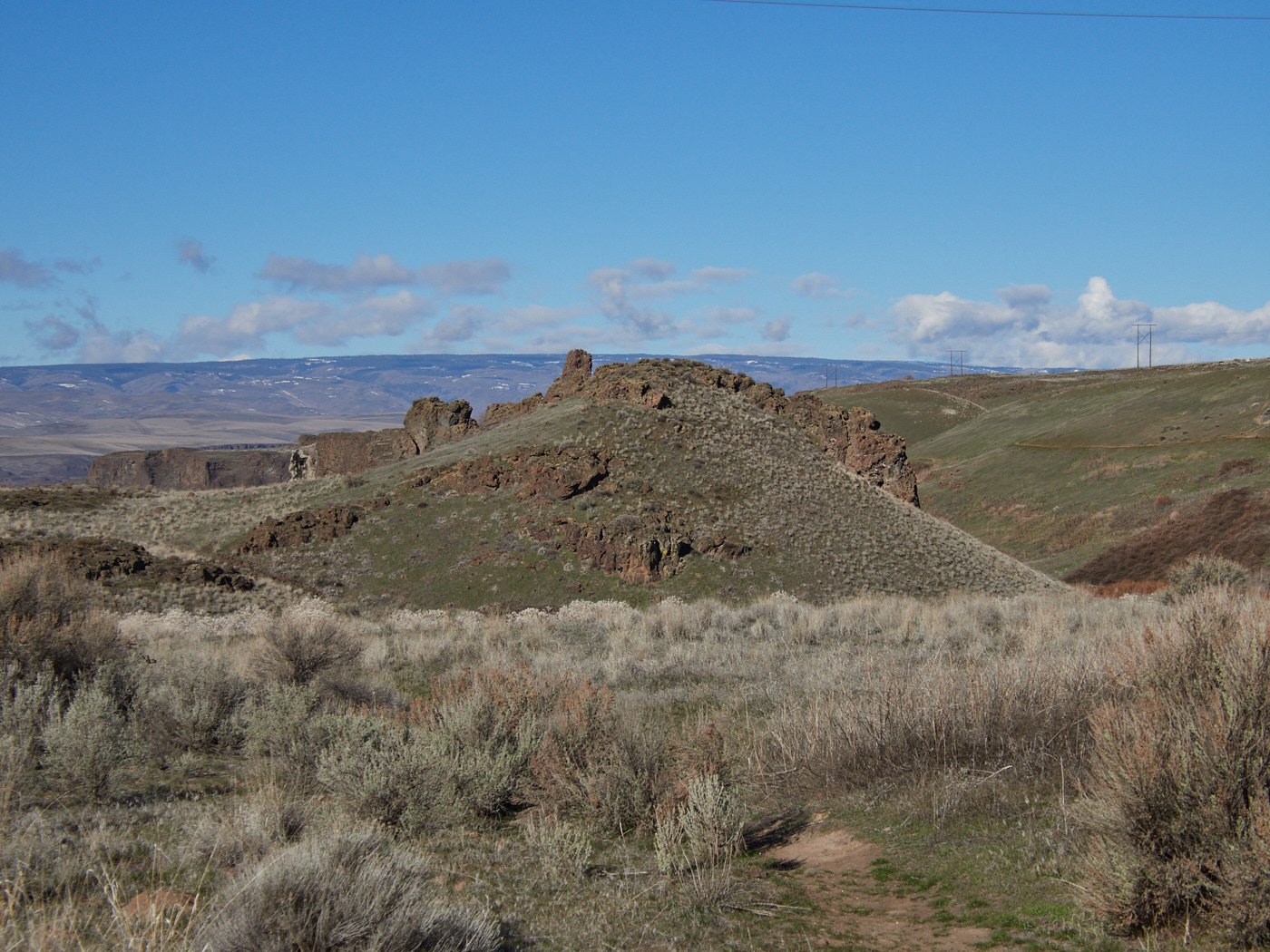
These lakes, like many others in Washington State, are part of the Channelled Scablands. They were formed when prehistoric Lake Missoula unleashed a series of cataclysmic floods, covering 500 cubic miles. (That’s right! Picture 500ft in depth in addition to width and height!!!)
The result: lots of exposed basalt buttes and channels. Lakes, waterfalls, rock walls, coulees. The exact terrain I was traversing in the Quincy Basin.
It took years of debates and research for geologists to prove this history, and it’s a really fascinating story, though one which I am not personally qualified to tell.
Occasionally you can hear a little trickle coming from a would-be waterfall moving over the rock walls...open_in_fullinfo
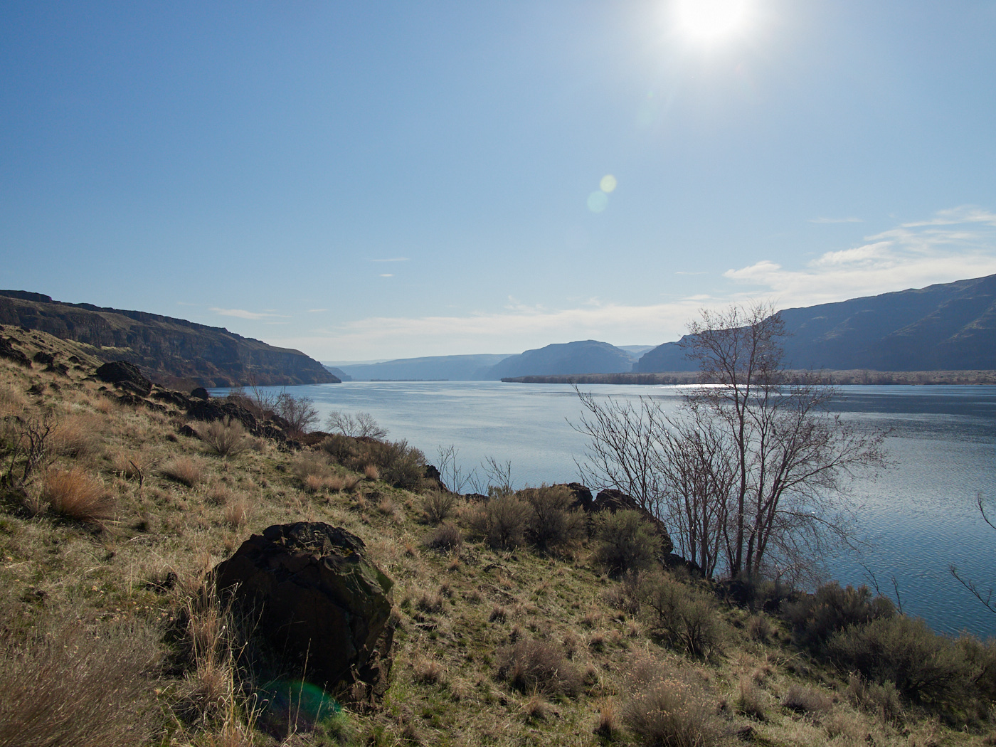
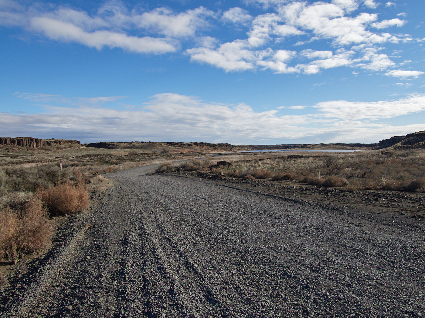
After proceeding through relatively level area, I descended near the banks of the Columbia River. Why? Because, it was there and I figured I might as well walk to it.
I stopped for a break and a snack at a well-used camping spot near the river. If I didn’t have to return to Seattle early-ish the next day, I might have considered camping there as well. It was so serene.
On my way up, I passed a father with two kids on mountain bikes, who was asking about the terrain going down towards the river. I probably wouldn’t have biked it, but then, I probably wouldn’t have biked the occasionally steep and rocky path towards Dusty Lake either. Of course, most of this ground was still fairly level.
For a good stretch of time, I was ahead of them as I climbed the uphill stretch. When I moved over to let them pass, the kids were pushing their bicycles a good amount of the time, rather than riding them up some of the rocky, steep hills.
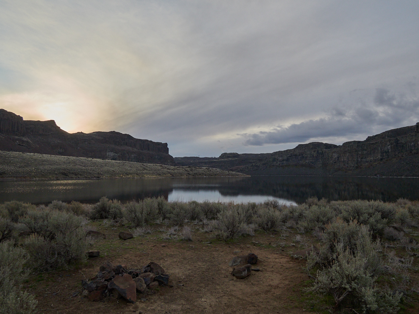
I was operating under the assumption that when I got to Dusty Lake, there would be some established campsites, and at least one would be free. I figured that the area was less popular than “Ancient Lakes,” as had less name recognition, but people would still want to camp near the nice lake view.
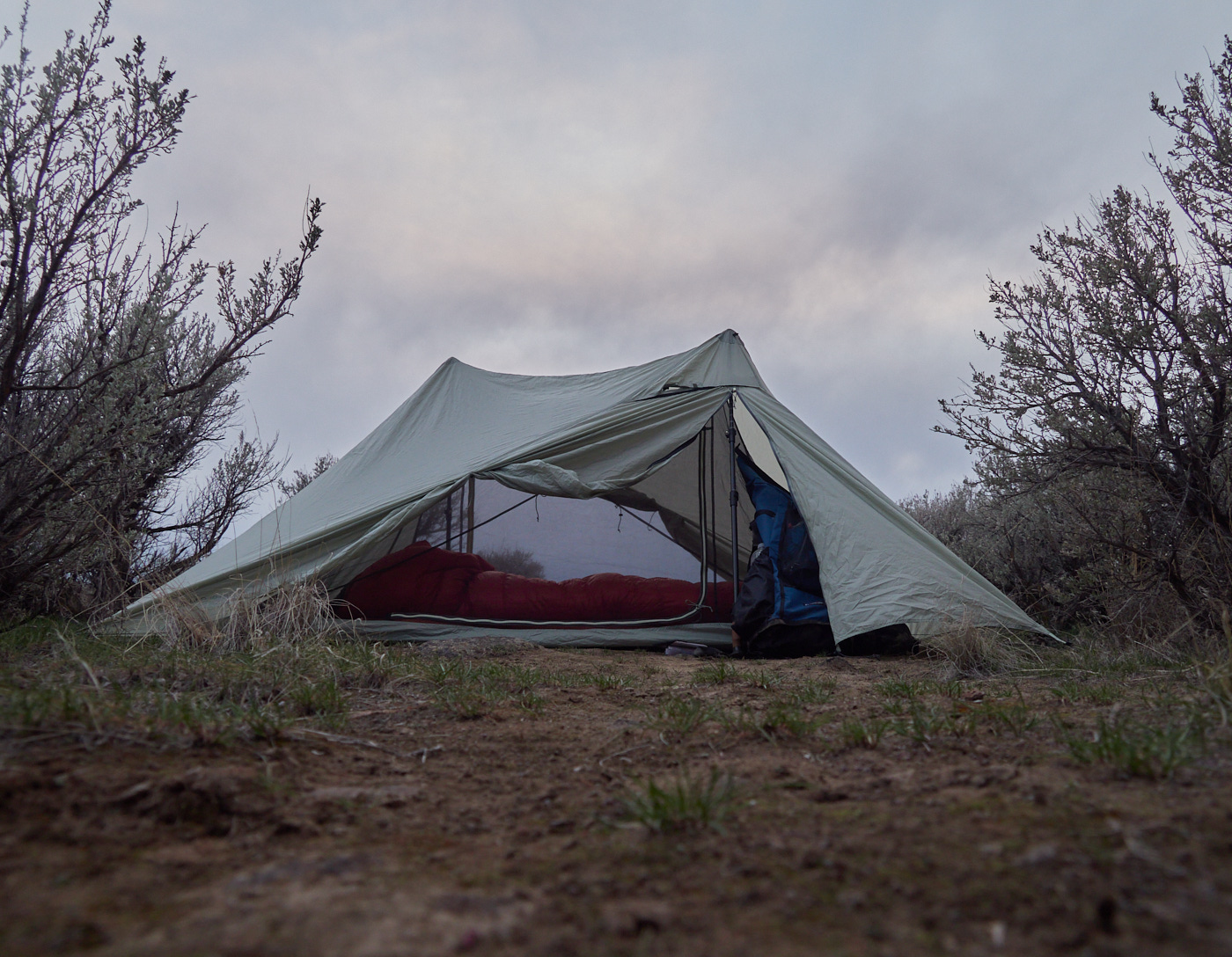
Without fanfare, I erected my tent, increased my sodium consumption via jerky, and strained my eyes to tell if I could see a sunset through the cloud cover in the distance.
I emerged after spending a drizzly night zooming in and out of consciousness from within my dry tent.
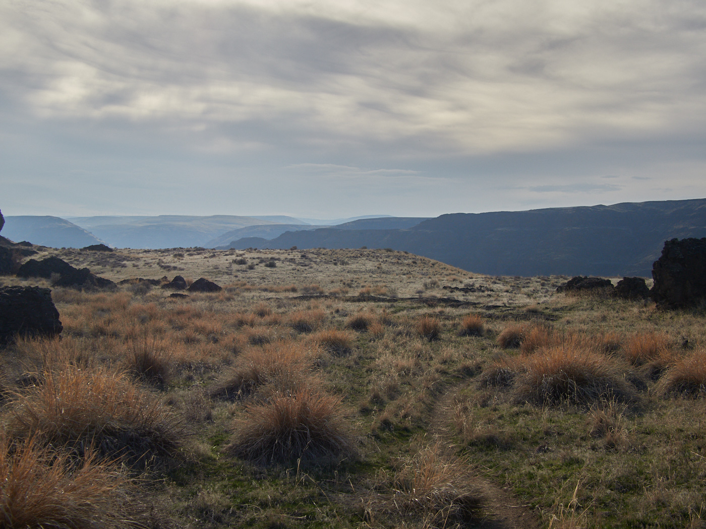
I only brought four liters of water with me, and I still had a fair portion left for the trip ahead, which was good, because the North side of dusty lake was essentially a boulder field.
At about this point, I looked at my watch, and I was a bit wigged out.
I wanted to make sure that I had enough time to get back to Seattle so I could be ready for a certain creative workshop on time. I had remembered that Daylight Savings Time meant that the clocks shifted an hour overnight, but I wasn’t sure in which direction.
Sure, I’ve heard “Spring Forward, Fall Back,” but is anyone really springing forward when they lose an hour of sleep? It sounds more like they’re “falling back on their asses.”
Given my uncertainty about… my current pace I cut out a section of trail that would have brought me up and down some more rock walls, probably to the nice plateau with a view that that other hiker was on. Instead, I proceeded along the road until H-Lake.