Left Tailrace
✍️ • 🕑 September 13-14, 2021 • Series: Go West, Young Lad • Tags: bird photography • U.S. Politics • lakes • displacement • dams • Places: Left Tailrace
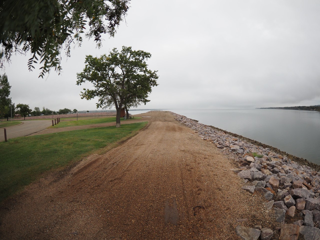
After a lovely day eating cheese curds, visiting Pipestone National Monument, and stopping by the World’s Only Corn Palace, I drove on to my campground for the night: Left Tailrace.
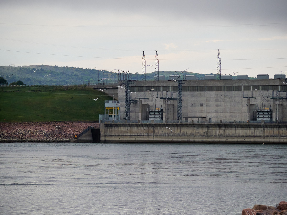
It’s an Army Corps of Engineers-created campground, located very close to the Big Bend Hydroelectric Dam and its reservoir, Lake Sharpe.
It was only at some point after I hastily reserved my campsite that I learned of the area’s sad history…
Past
The Flood Control Act of 1944 was signed by F.D.R., and authorized the creation of various dams and water control programs across the U.S., including the Pick-Sloan Missouri Basin Program.
Under Pick-Sloan, six dams (and artificial lakes) were constructed between 1946 and 1966, including the Big Bend Dam. Although these had the intended effect of allowing water control, they led to the destruction of native lands, and the displacement of many lives.
Quoth Wikipedia:
Over 200,000 acres on the Standing Rock Indian Reservation and the Cheyenne River Reservation in South Dakota were flooded by the Oahe Dam, forcing Native Americans to relocate from flooded areas. 21,497 acres of Indigenous land were flooded by the Fort Randall Dam and 20,478 acres destroyed by the Big Bend Dam.
Though Natives were supposed to be compensated for their losses, they were not.
In 1997, even Congress recognized that it had failed to uphold its end of the bargain:
“although the national economy has benefited from the Fort Randall and Big Bend projects, the economy on the Lower Brule Indian Reservation remains underdeveloped, in part as a consequence of the failure of the Federal Government to fulfill the obligations of the Federal Government…”
To present day, large infrastructure projects continue without respect to the disenfranchised people whose lives they impact, from the unstopped Dakota Access Pipeline through to the currently protested Pipeline 3.
Elsewhere across the globe, I have visited a few sights that were also flooded with potentially dubious consent: the largest artificial lake in the world, and an ancient city that was fully submerged in 2020.
Though there is a need for hydroelectric power, for flooding control, for energy access, and so on and so forth, there is also a human need for dignity, preservation and respect that is swept to the wayside.
I’m sure there’s a path forward whereby hydroelectric power can be harnessed with more respect to the environment, and to the people living in it.
But, I am certain that this ain’t it.
Present
What’s it like sleeping in a tent next to flood lights and a humming hydroelectric dam?
What’s it like setting up your tent unshielded from blustery gusts?
The campground is best suited for RV campers, and not for tenting. I was the only tent in the place that night. I don’t remember my sleep being particularly awful, but it cannot have been particularly good either.
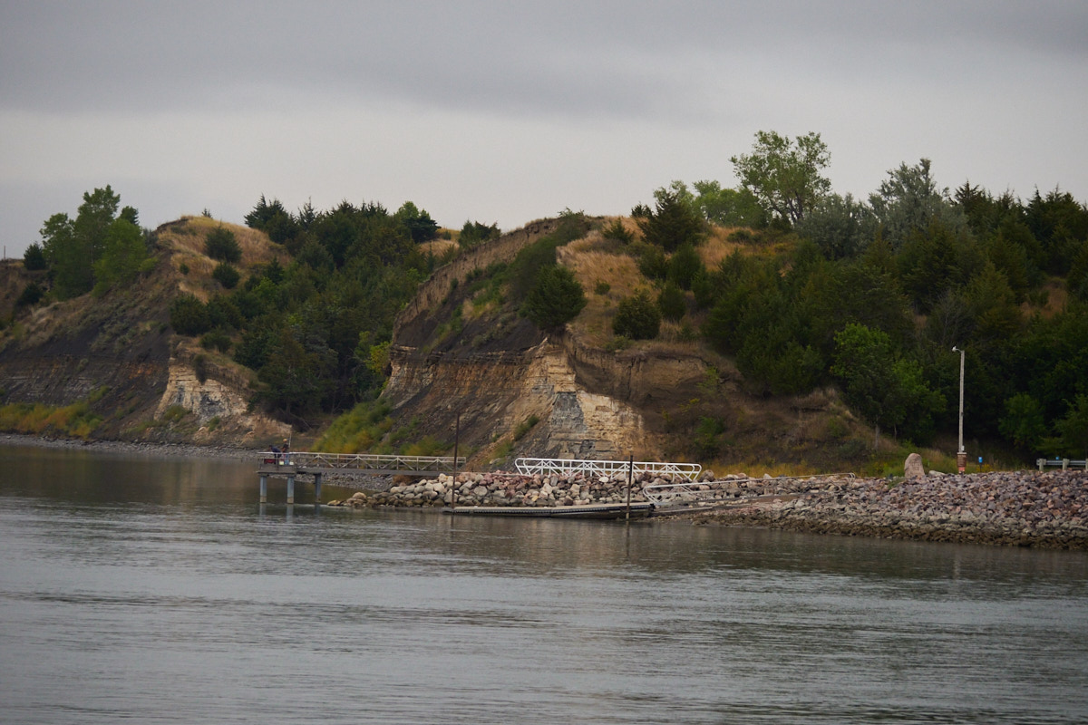
The area around Lake Sharpe has a number of campgrounds and recreational areas and such, presumably fulfilling the Pick-Sloan plan’s promise of expanded “recreational use.”
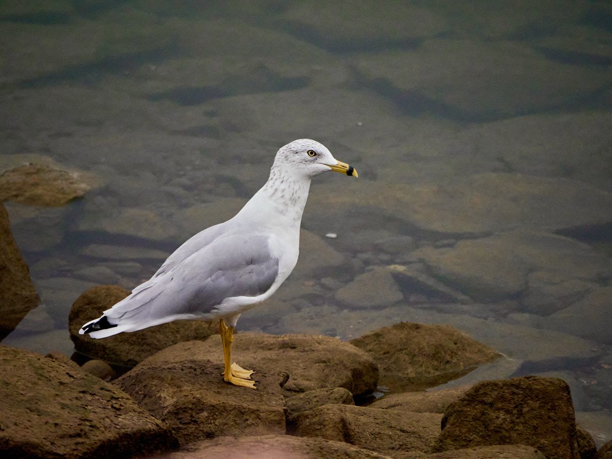
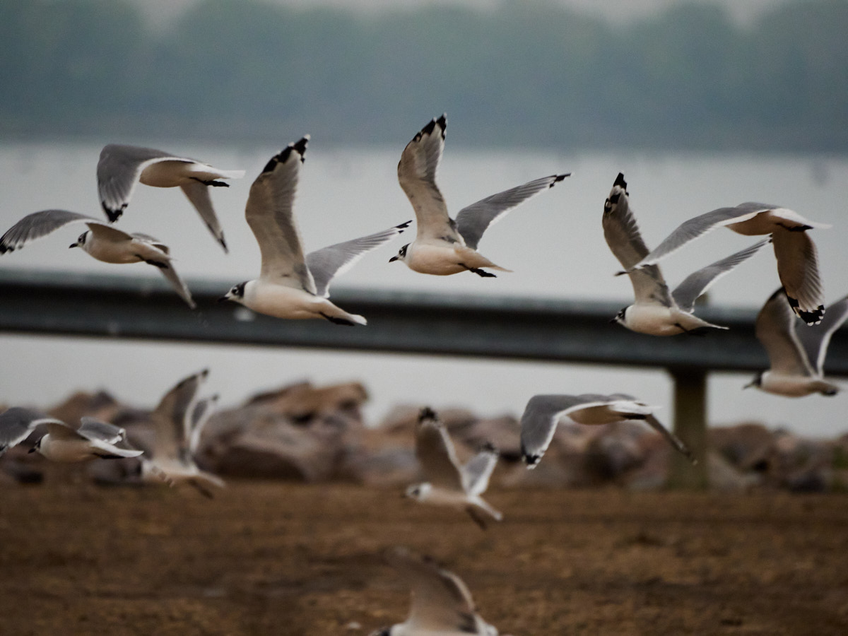
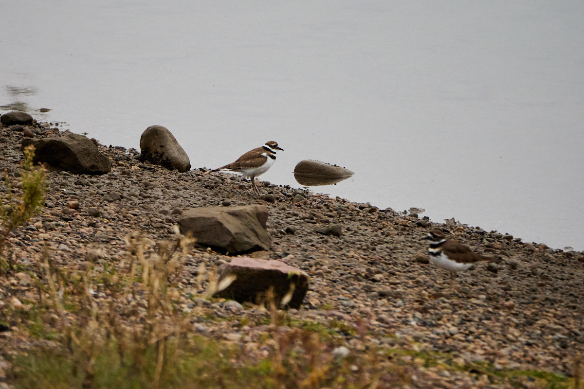
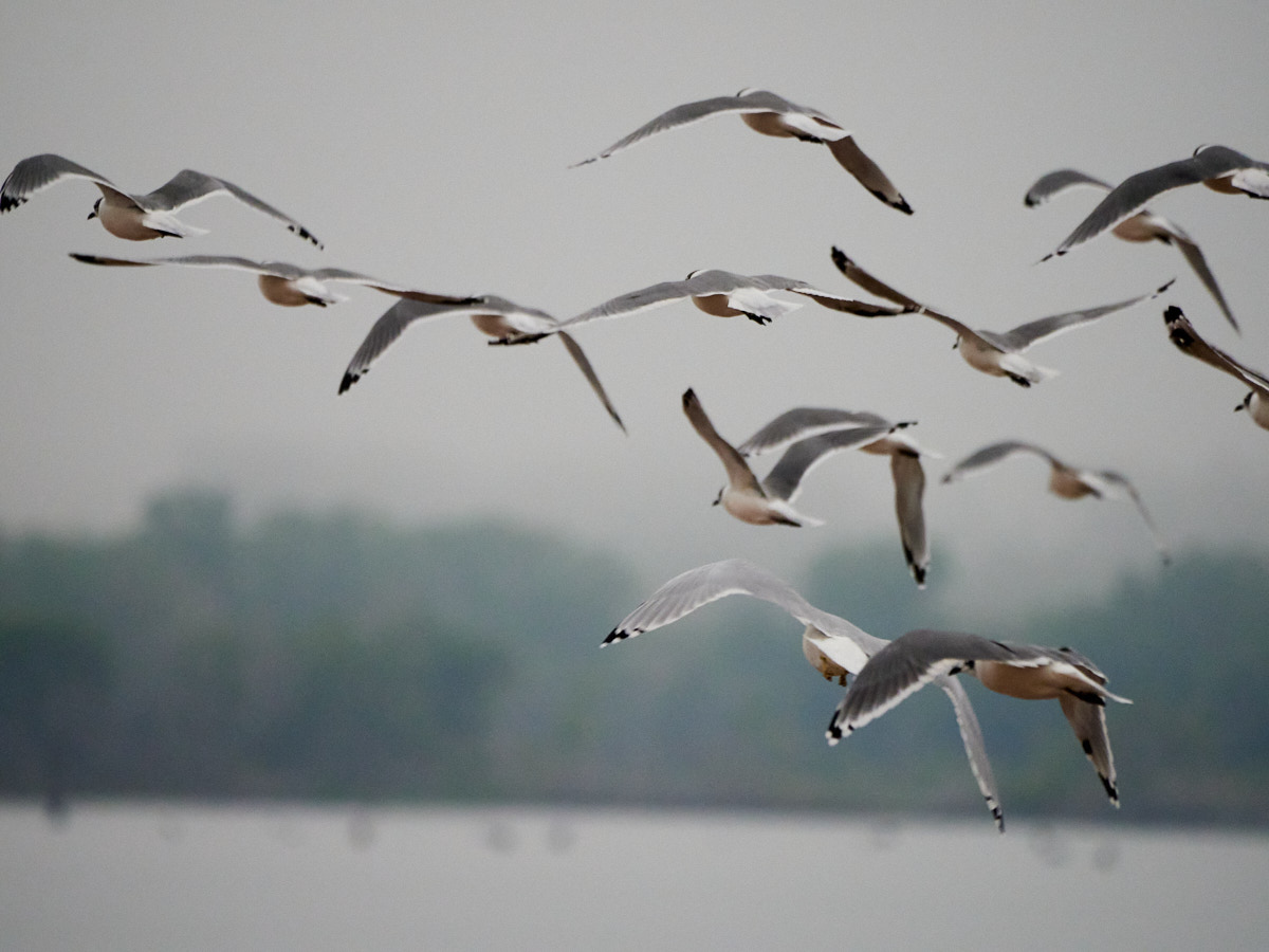
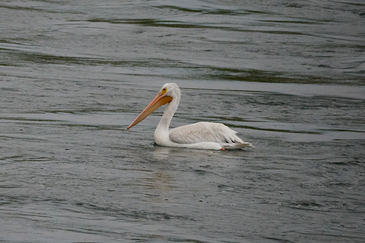
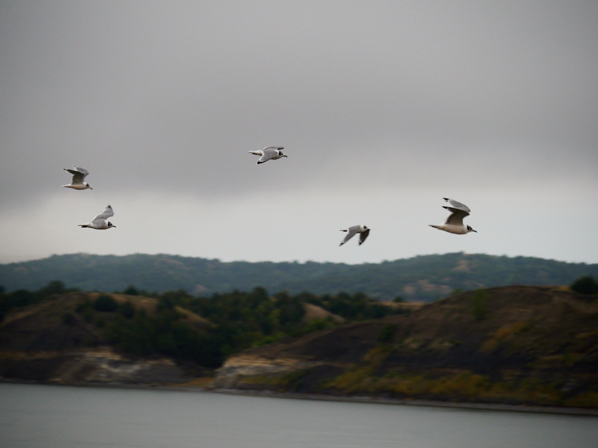
I bounced along a few of these hoping to spot some birds.
And, of course, I did.


Afterwards, I left the area, heading further west, as always.
This post was part of a series:
Thanks for reading!
If you enjoyed this post, you might enjoy these 5 similar posts:
- 2022-01-20 —Corn, Cheese Curds, and Sacred Stones
- 2024-01-29 —Looping Lake Quinault
- 2022-12-26 —To Whitefish And Back Again
- 2020-10-24 —Old Logger's Path
- 2022-04-23 —Dune It Again: A Visit to Bruneau Dunes State Park