My 11-hour 16.7 mile Haleakala Crater Hike
✍️ • 🕑 • Series: Maui 2021 • Tags: volcanoes • strenuous hikes • sacred places • sunsets • National Parks • Haleakala National Park • Places: Haleakala
2021 is almost wrapping up, and I have a lot of pictures I haven’t edited or organized, and events I haven’t written about.
That’s okay!
I’ll do it someday… Or, never… It doesn’t really matter.
But it would be a tragedy if I didn’t write about my favorite hike of the year and one of the single most spectacular places I visited before 2021 ended.
So here goes.
Warning: a quadrillion images will ensue…
My absolute favorite place that I visited on Maui – and my favorite hike of 2021 – was the Summit District of Haleakala National Park.
This says more about my preferences (beaches: eh, weird crater hings: yay!) than about anything else.
Notes on “Switchbacks”
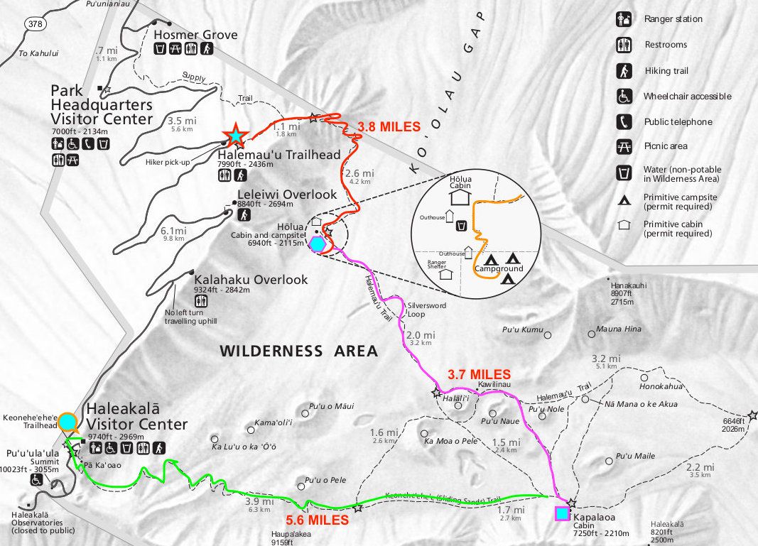
I opted to do what the park guide describes as a “strenuous hike across the crater floor.”
This particular route, called “Switchbacks” by those in the know, is great. One of the really cool features is that it allows for a fair amount of flexibility on the part of the hiker. There are a few points where you can choose to start heading towards your vehicle. Even though you are in the backcountry, you do have a number of opportunities to shorten (or lengthen) your route depending on conditions, which can be useful if things go sour.
| Trail Information | ||
|---|---|---|
| Name | Sliding Sands - Halemauu Trail (Longish Version) | |
| Type | near-loop / trail system | |
| Location | Haleakala National Park (Summit District) | |
| State | HI | |
| Country | USA | |
| Miles | 16.7 | |
| Check out the trails index for information on more trails! | ||
There’s one other clear advantage to Switchbacks; the Sliding Sands trailhead is at 10,023 ft. of elevation. The Halemauu trailhead is at about 8,000 ft. This means that by taking this route, you avoid needing to do a whole 2,000ft. of elevation gain. Also, you get to see much more scenery.
The main disadvantage, of course, is that once you’ve parked at a trailhead that’s miles away from where you start, you are rather committed to following through on your long and strenuous hike. You cannot turn around and go back to your car when your car is several miles from where you start your hike. The Halemauu trail is considered more susceptible to harsh weather, and conditions change frequently, so the climb up may also be unexpectedly harsh.
You also need to be prepared for the strenuousness of hiking at high elevation, UV exposure, a variety of possible harsh weather conditions, a lack of natural water sources, and a scarcity of people and access to medical attention on the crater floor. This is a serious hike.
Provisions & Prep
I spent the day before my hike stocking up, and packing up.
Probably the first thing that I got together was water. I had brought two collapsible 1L bottles with me to Hawaii, but I know I’m a thirsty guy who needs to stay hydrated. Originally, I had planned to do roughly an 11 mile hike, and the best rule of thumb for how much water to bring seemed to be roughly half a liter per mile. I had started saving and re-using empty (20 fl. oz.) Gatorade bottles, so I had a mixture of those filled with water or “fruit punch,” in addition to a rinced out milk jug that I filled with water to leave in a cooler bag in the car, to ensure I could recover afterwards if I was still tired.
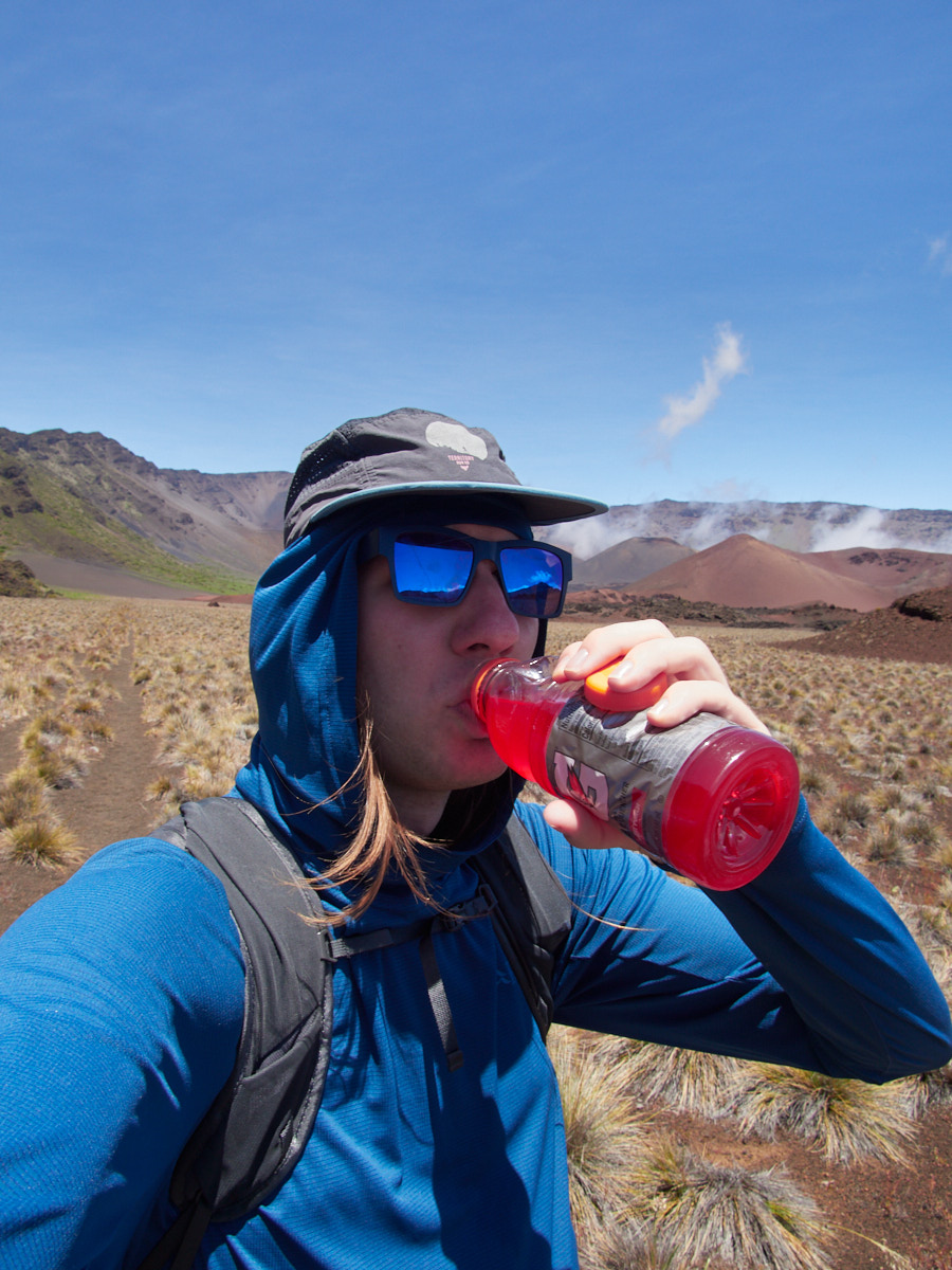
In sum, I carried about 5.5L, nearly a gallon-and-a-half of water & ’rade, and had an entire extra gallon of water in a cooler bag in my rental car. My carried water weight alone was about twelve pounds, which seemed just tolerable enough in my one pound backpack, supported by elastic and foam. (I briefly considered just carrying the gallon jug in the backpack, but it would have been quite unwieldy to drink from on the go, and worse for my back as well.)
I stopped at the General Store in Hana for some snacks… like peanuts. I chose the most calorie laden bars available, which turned out to be… organic blueberry fig newton knockoffs, and some sort of rather nasty Nature Valley Blueberry Biscuit packets… Coincidentally, my base layer, wind jacket, and rain jacket are all blue as well, so I was very blue indeed.
Besides these things, I had a lightweight puffy, small medical kit, electronic and physical maps, sunglasses, tiny sunscreen, cellphone, and a camera with a superzoom lens. I had on long pants and long sleeves to minimize my sun exposure.
Starting Out
I got up at about 4 AM, and drove the Hana Highway to a road to Haleakala. Other than startling a wild boar, nothing too interesting happened on the first half of the drive.
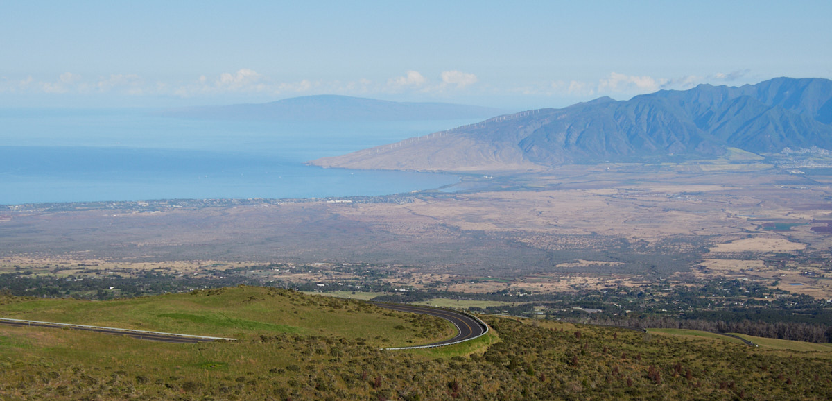
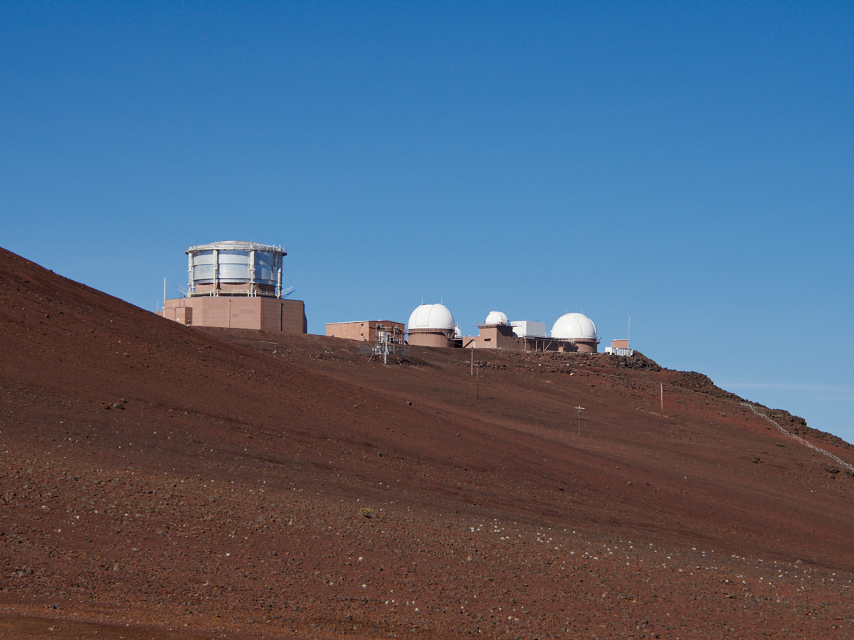
The mountain road was full of beautiful overlooks, and switchbacks of its own. Between the set of highways, I felt almost dizzy by the time I arrived at the summit.
I parked at the Halemauu Trailhead, hitchhiked up to the Sliding Sands trailhead, and hiked my way through a very stark landscape back to my car. (It took me about thirty seconds of waiting to catch a lift too, thanks to Californians Pat & Jen.)
When I started, the sun was high, and the wind was roaring. I had all of my layers on (except the puffy jacket), and I almost wondered if they were sufficient.
I had a light wind jacket, and put a light rain jacket on over that. I quickly realized I had to look like an absolute buffoon, because I was somehow wearing like three blue colored hoodies, all atop each other.

Fortunately, the wind died down after fifteen minutes or so, though my fashion faux pas never cease.
The trail was somewhat crowded at the summit, and the people ascending from below were absolutely winded.
As I continued down into the crater, the crowds started to thin out.
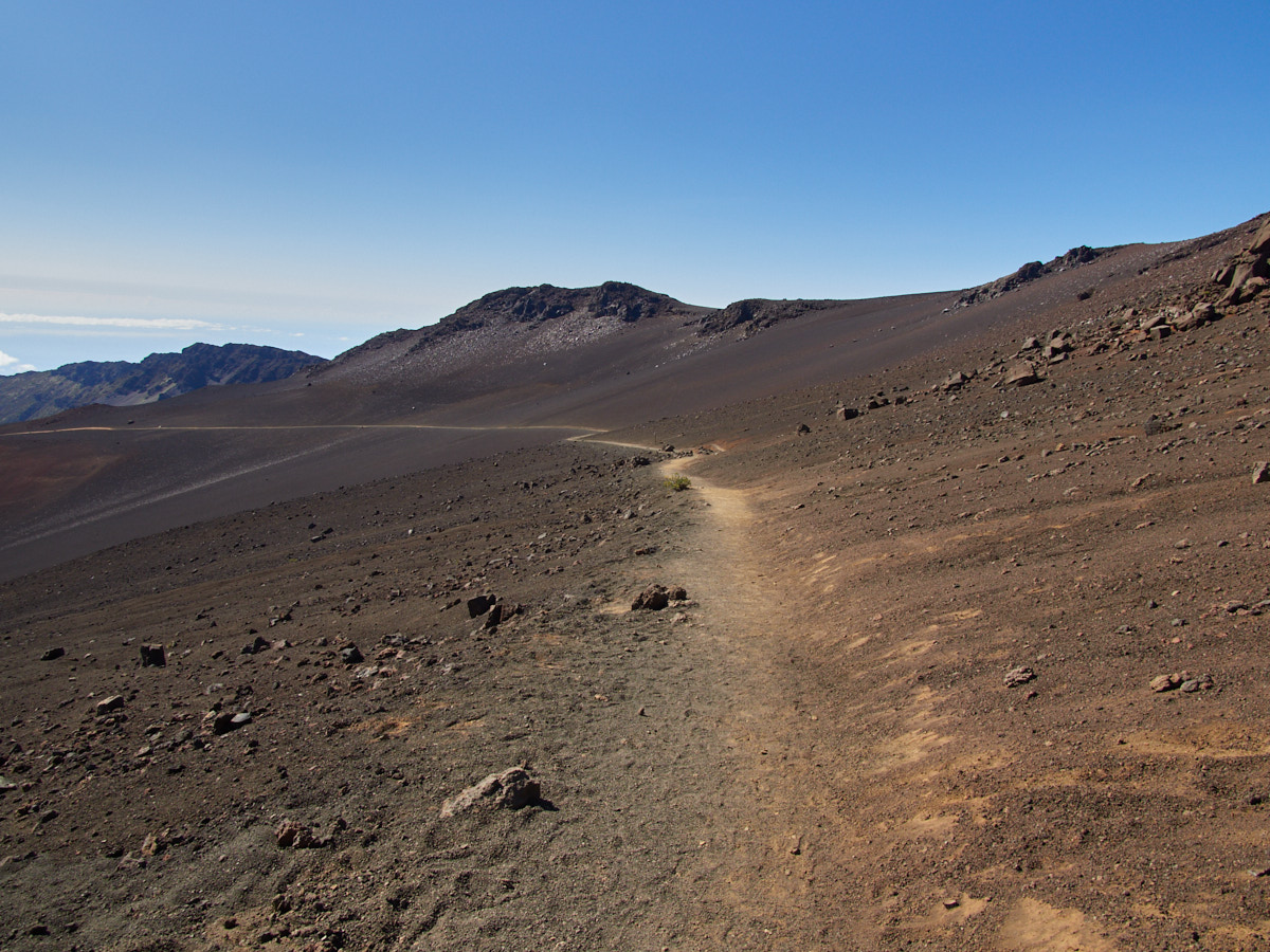
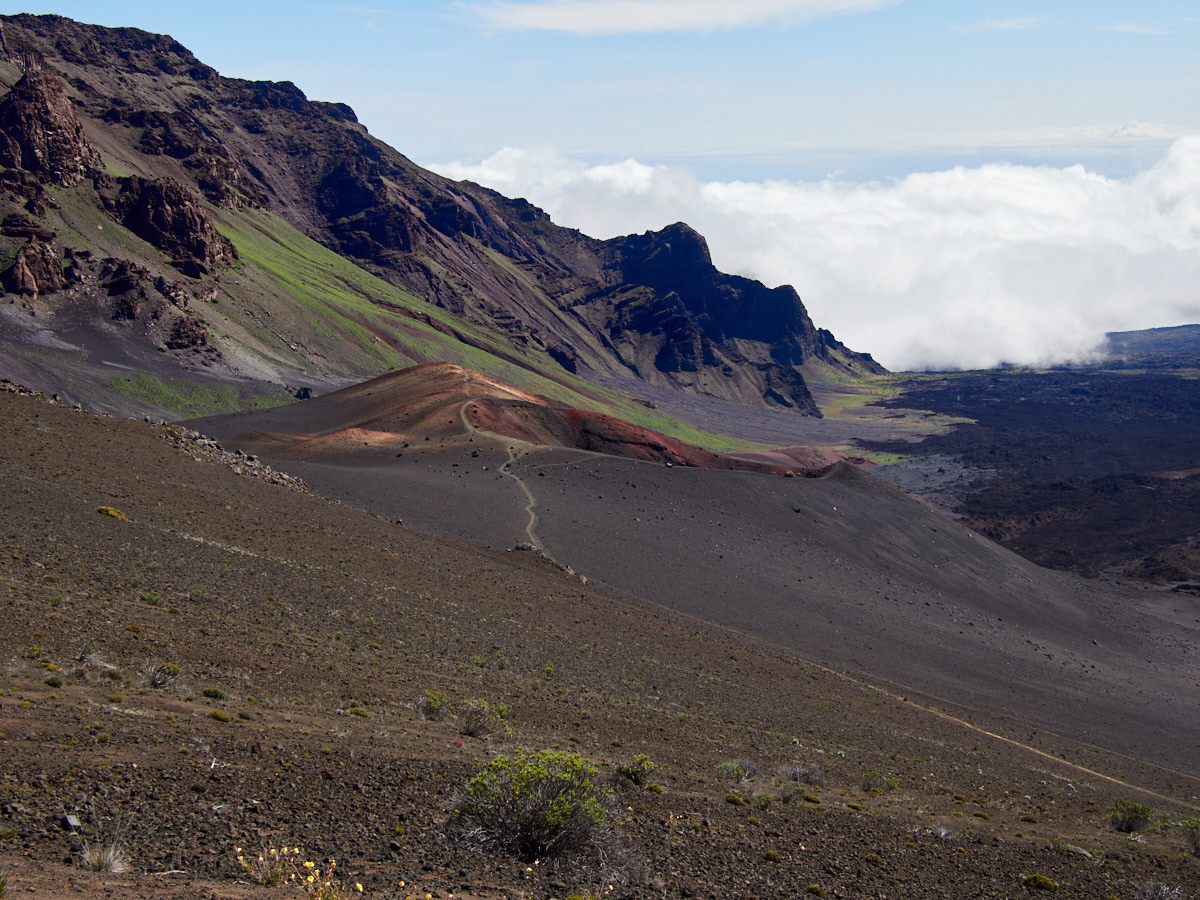
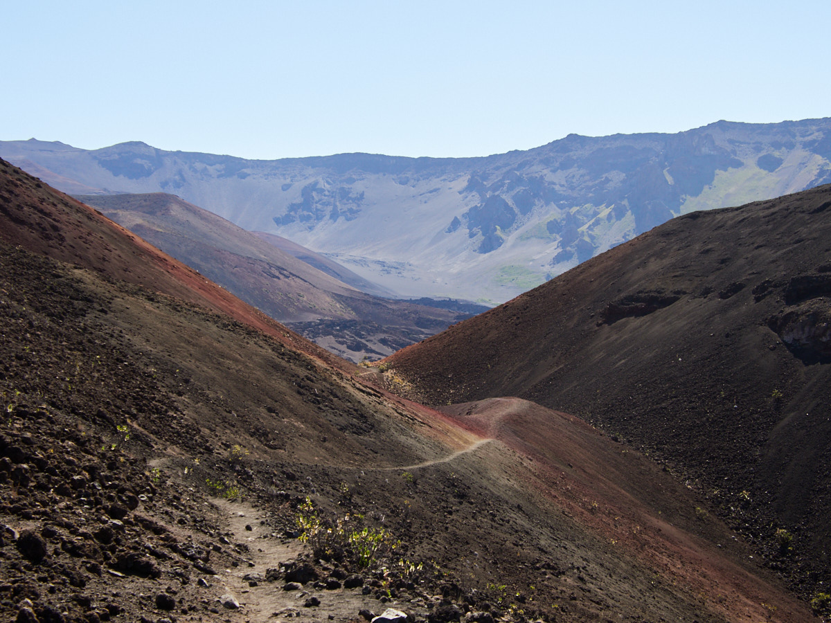
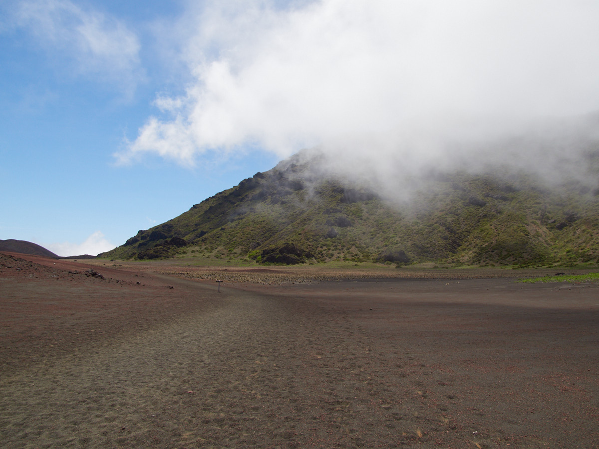
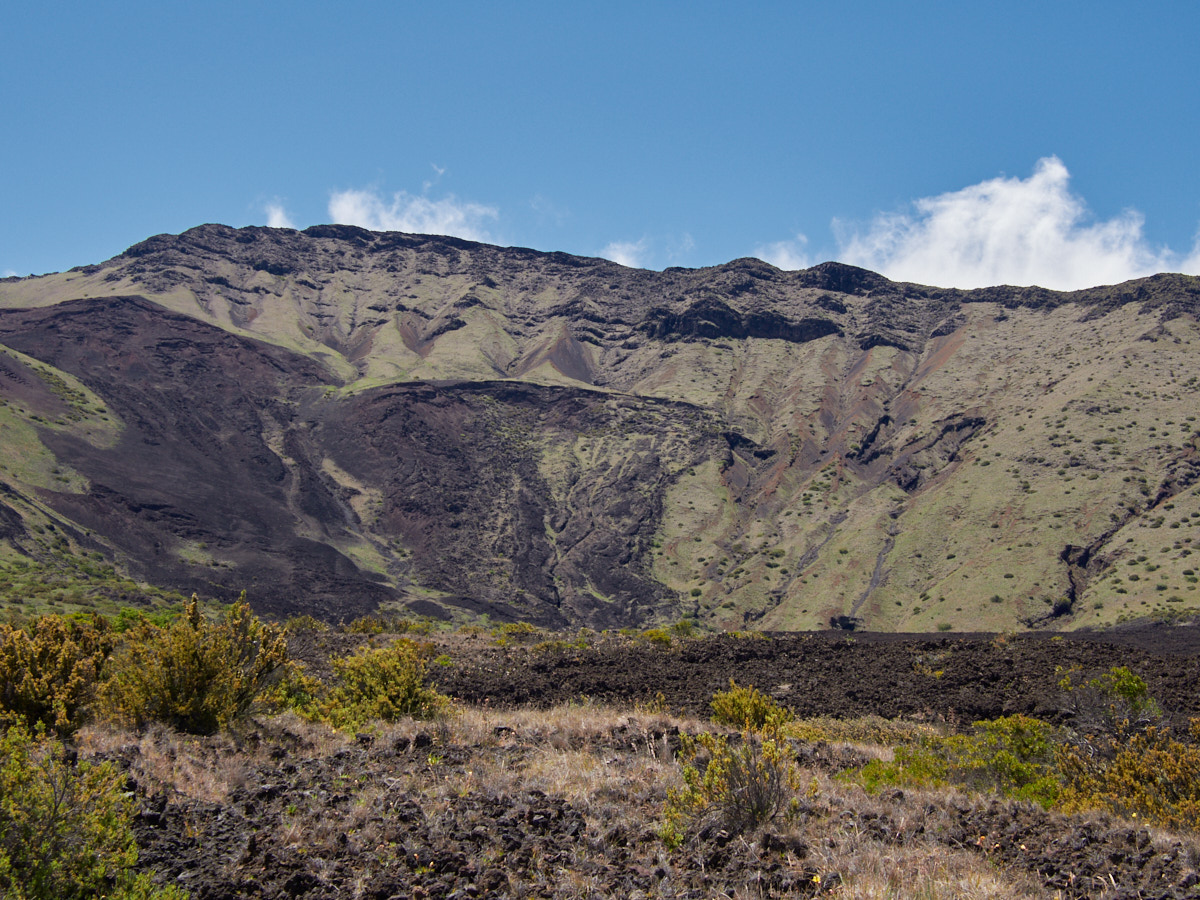
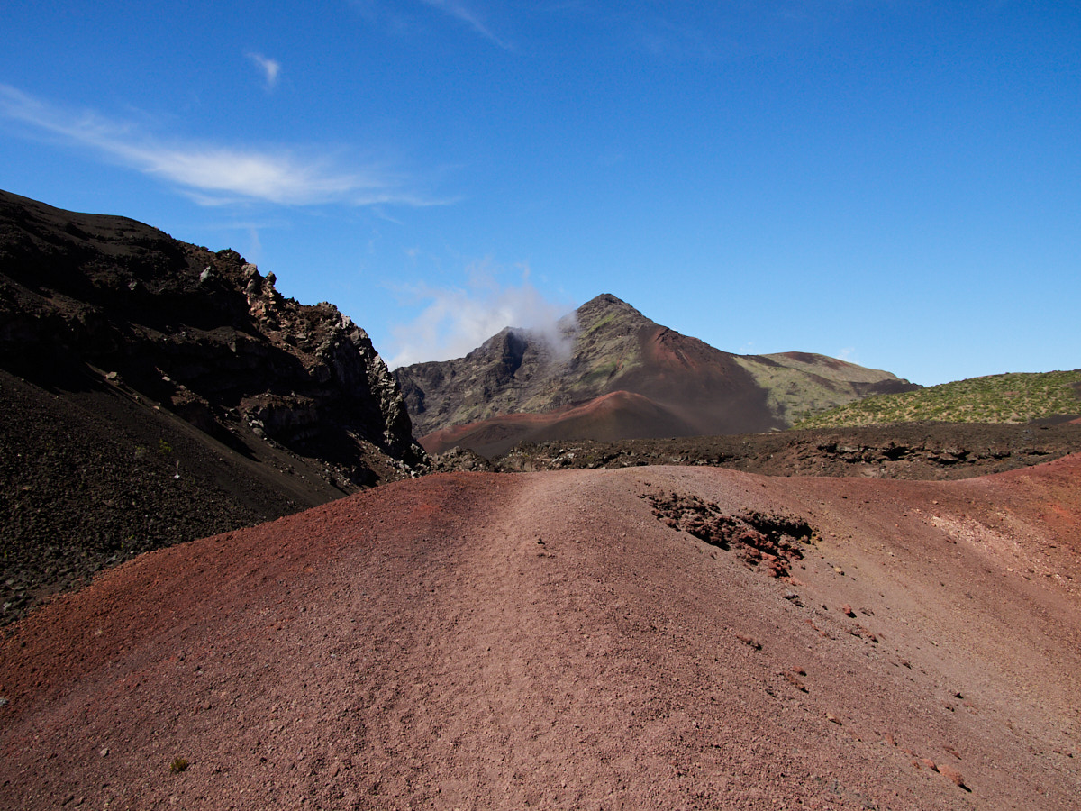
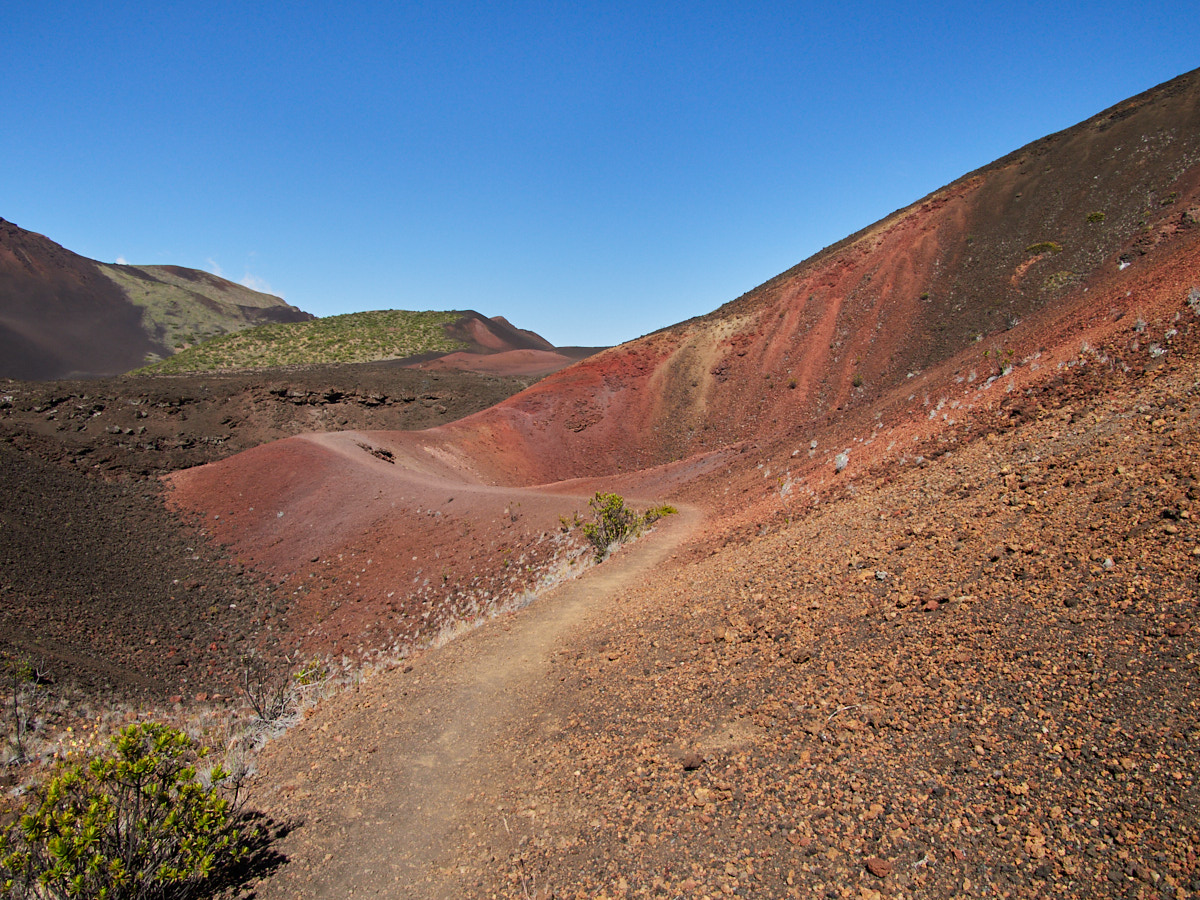
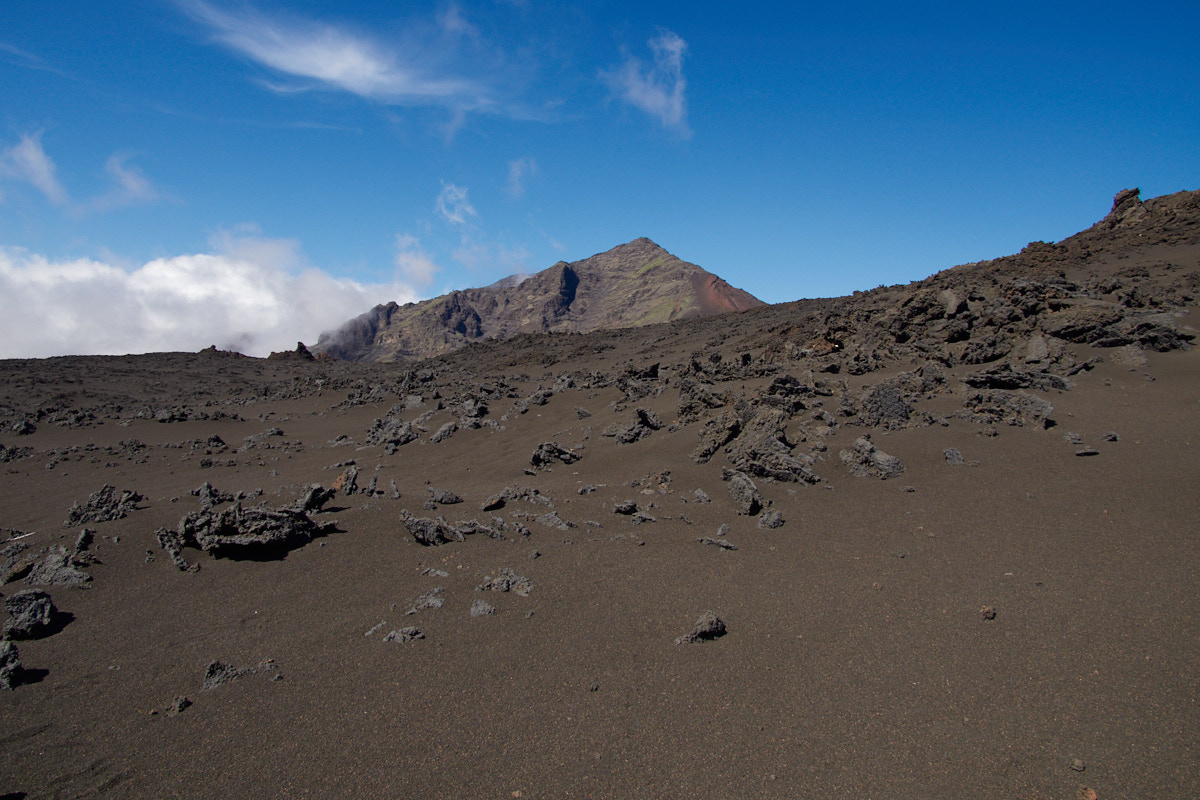
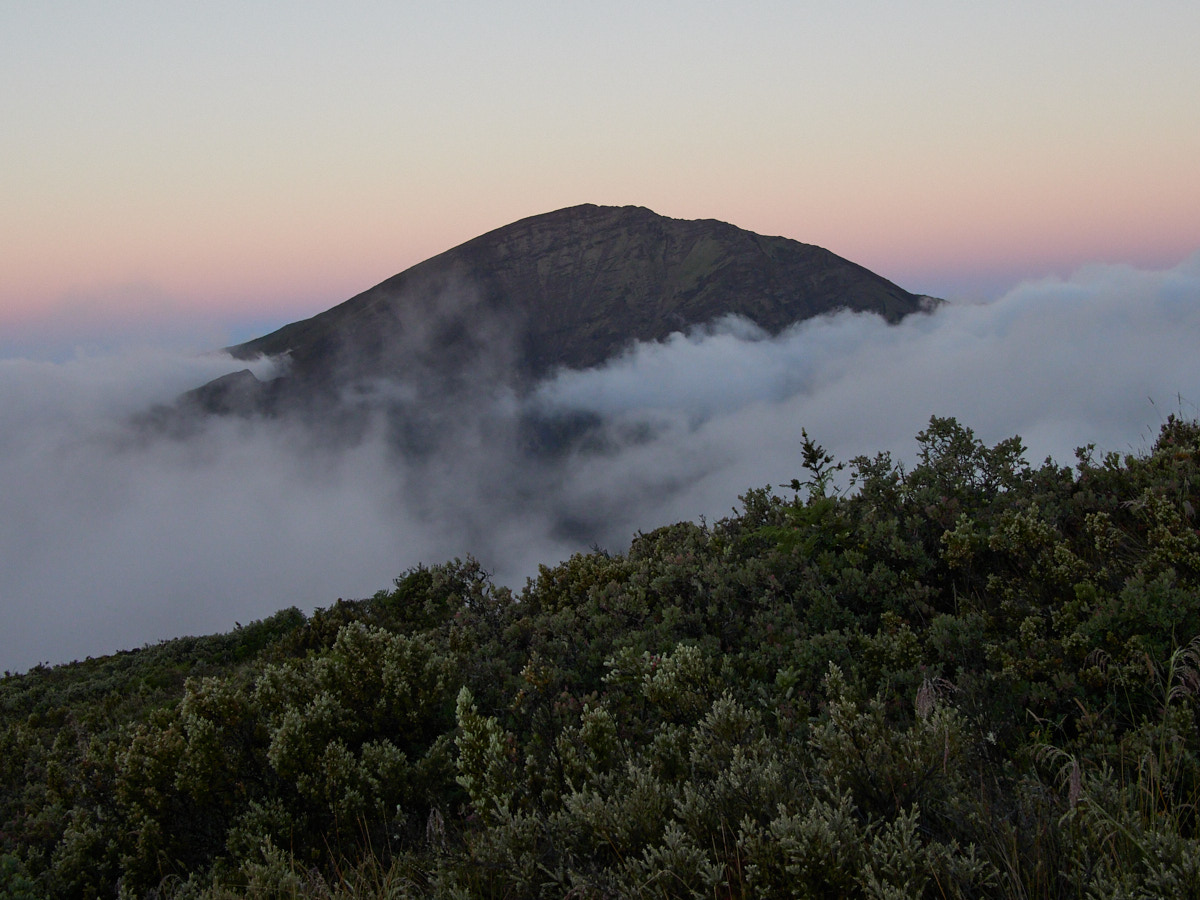
The Crater Floor
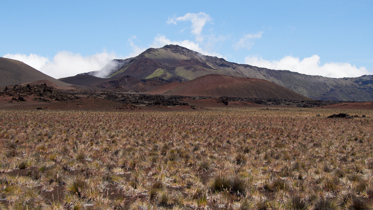
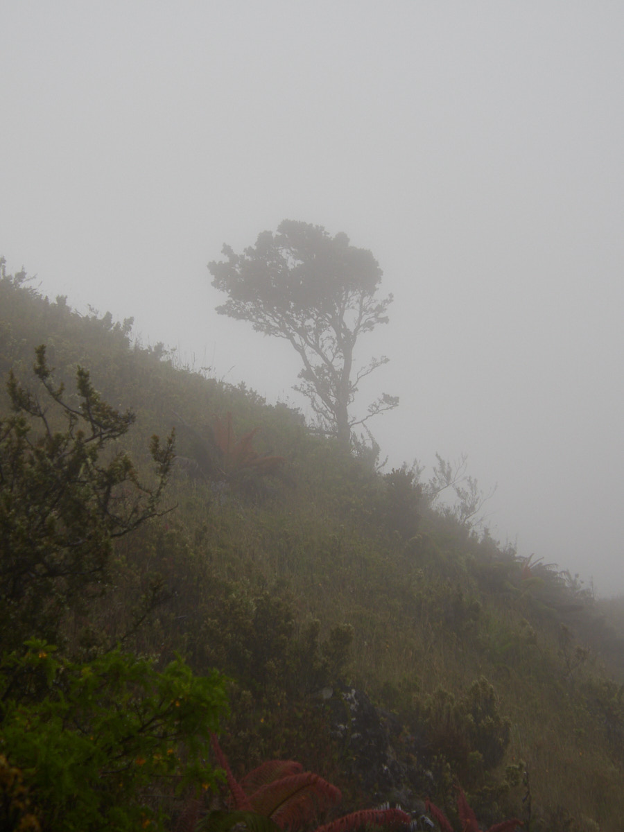
After I descended to the crater floor, the going was easy. Sure, I was still at high elevation in an inhospitable environment, but the path was mainly flat and straight-forward.
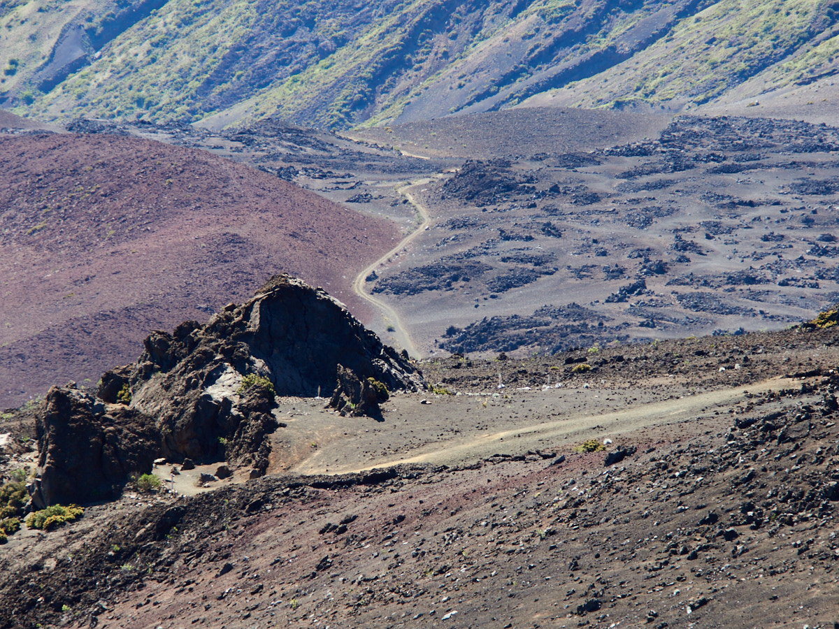
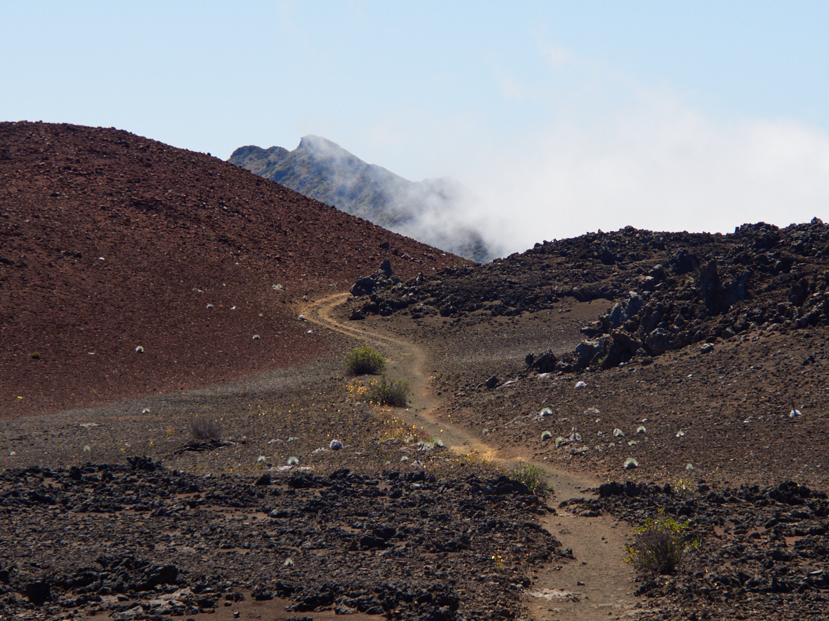
There were a few other hikers around when I hit the first fork in the trail, an opportunity to head towards the Halemauu Trailhead. I wasn’t ready to do that and continued onwards, advised that by extending my hike, I would get to see a few really cool things.

After I passed this fork, and continued further along the crater floor, I would have only brief encounters with other people for the next few hours.
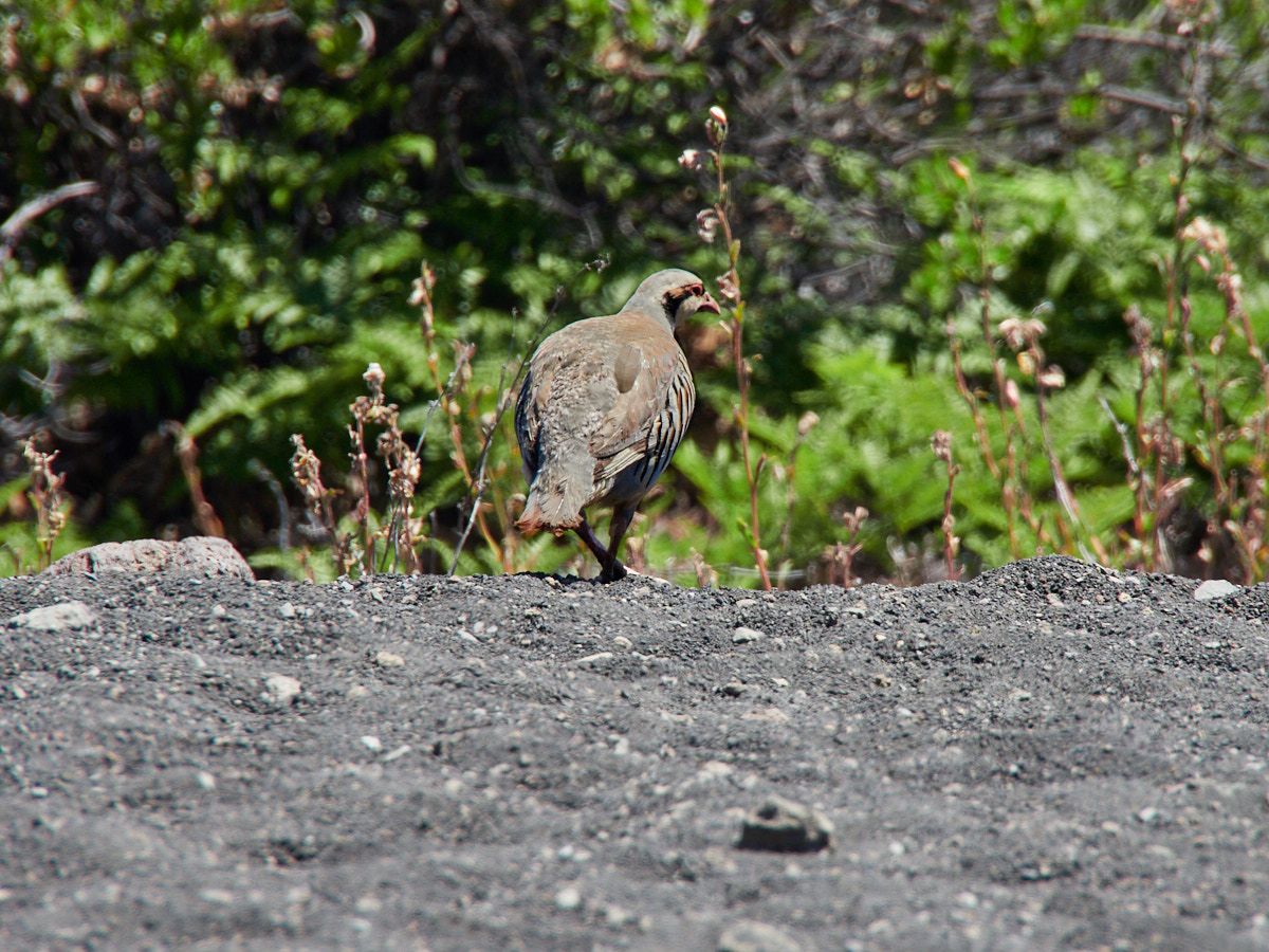
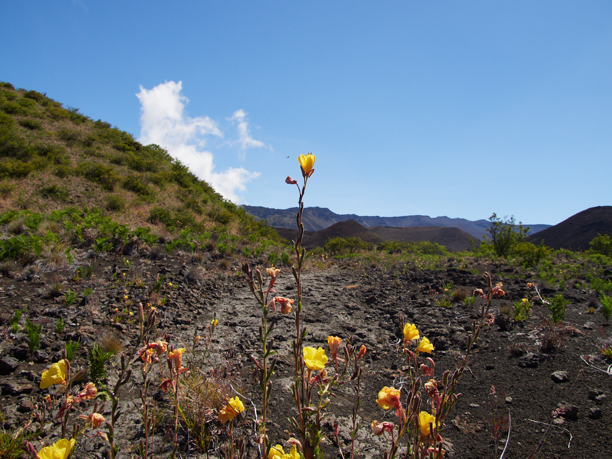
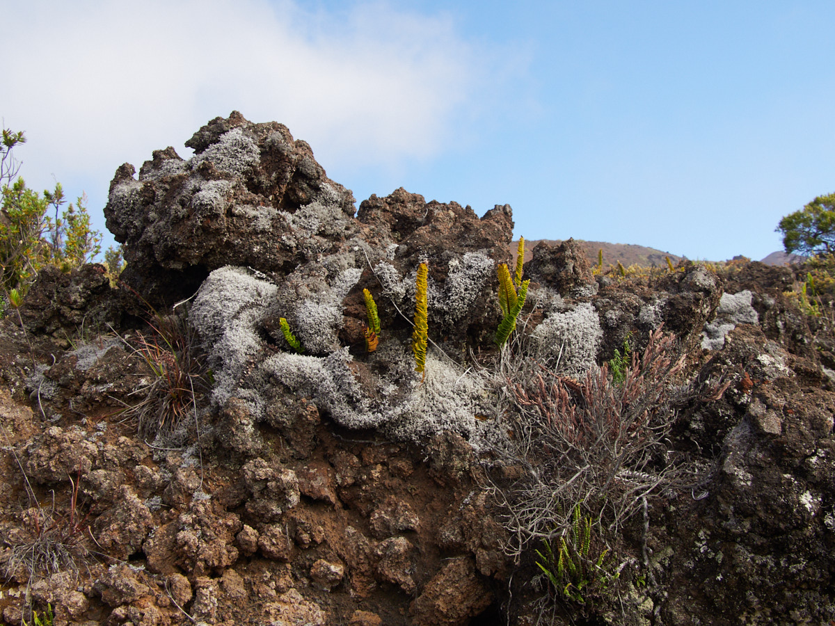
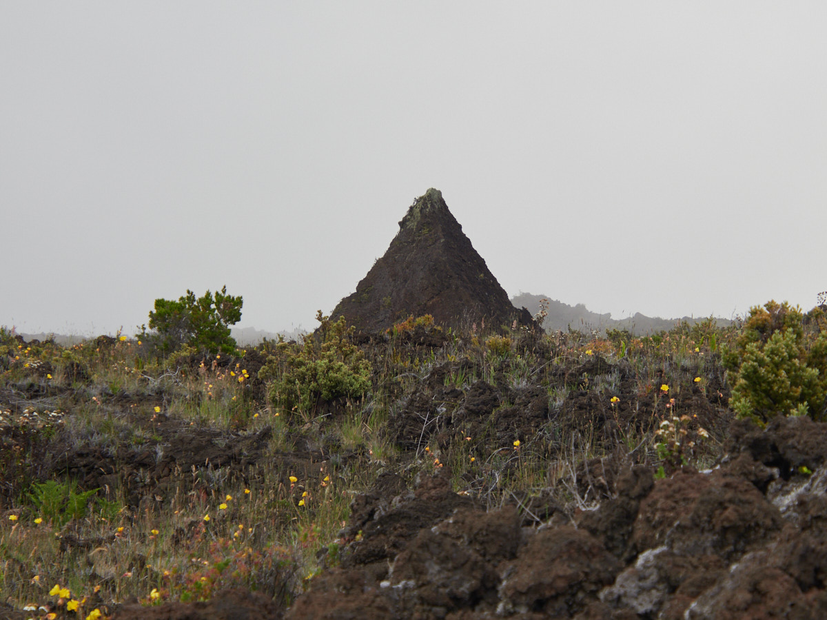
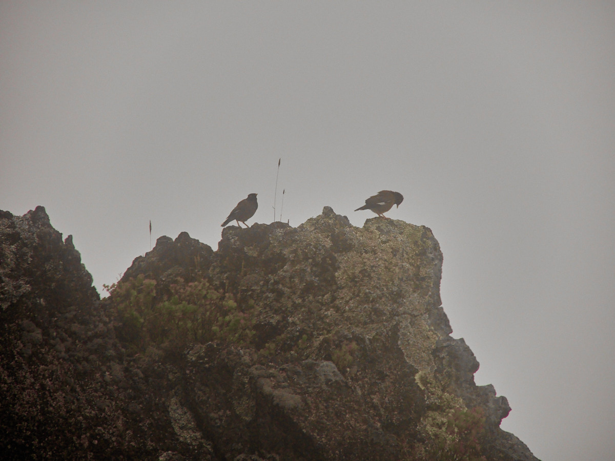
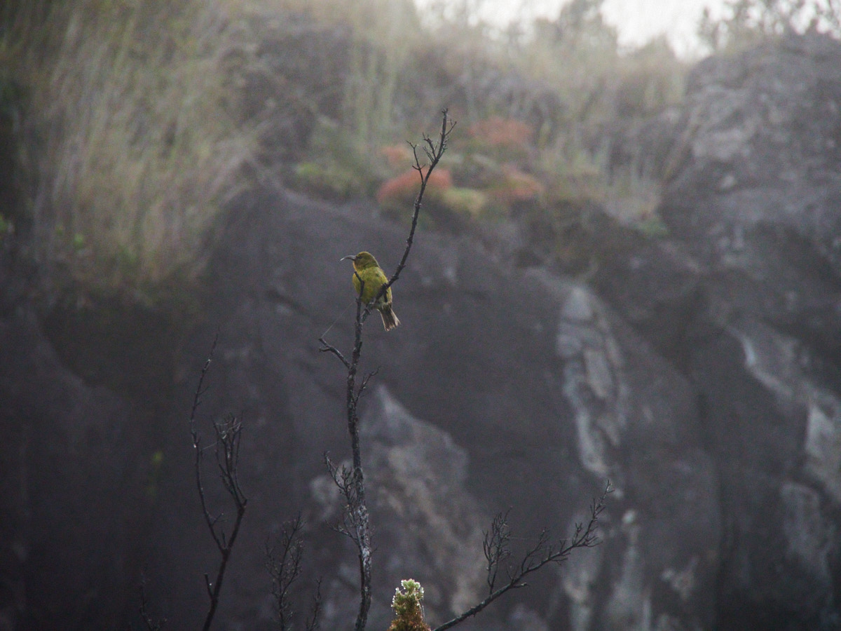
Instead, I was taking in the scenery, accidentally startling Nene’s (an endemic Hawaiian goose), and doing my best to keep comfortable and hydrated.
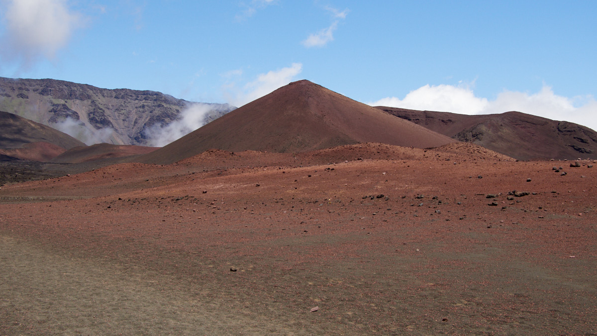
A short while later, I passed a second fork in the road. I was enjoying my hike so much that I decided to continue onwards again, figuring that the distance wouldn’t be that much longer than taking the quicker turn out of there. This was a misjudgment.
I’m not saying that I needed to immediately headed back for the trailhead at this point, but it would have reduced risk, and would have probably led to a better water-to-exercise ratio.
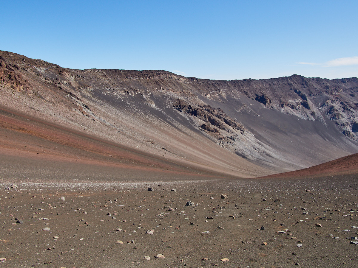
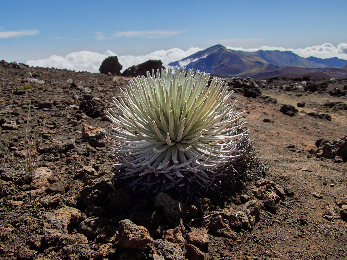
Anyway, once I continued past some truly amazing sights, I did again start seeing other hikers, always a good thing when one is in an isolated, harsh environment. I let them pass me as I began…
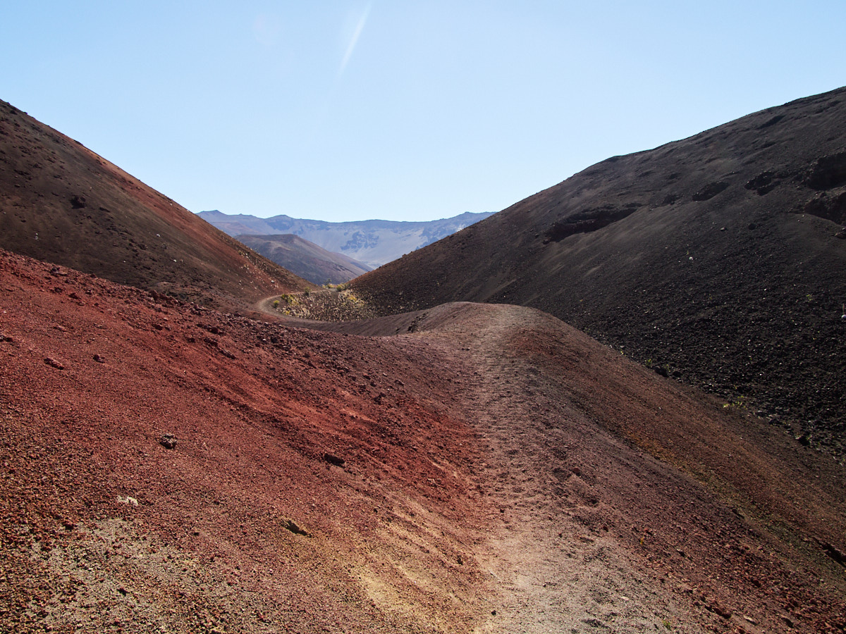
Once back on the standard track, I hit a particularly vibrant stretch. Basically, the thing obnoxious travel bloggers photograph to make you think the whole place looks like it.
Thankfully, I have nothing in common with them, right? 😉
From there it was smooth sailing, until I eventually started nearing my ascent.
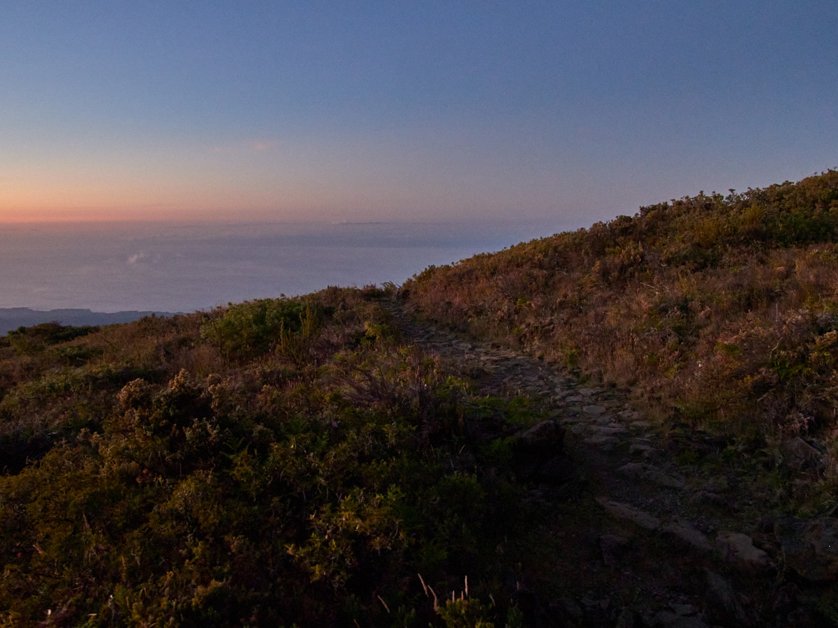
The Ascent
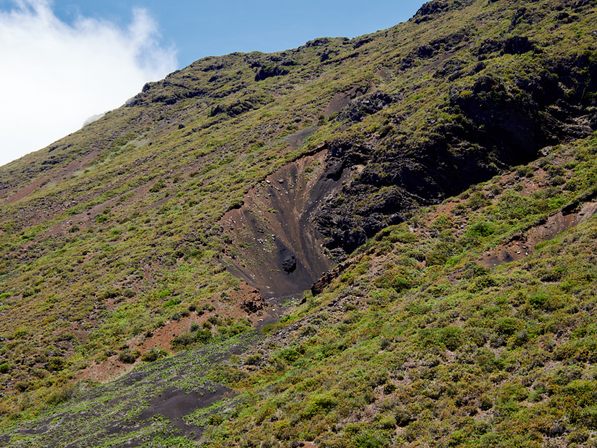
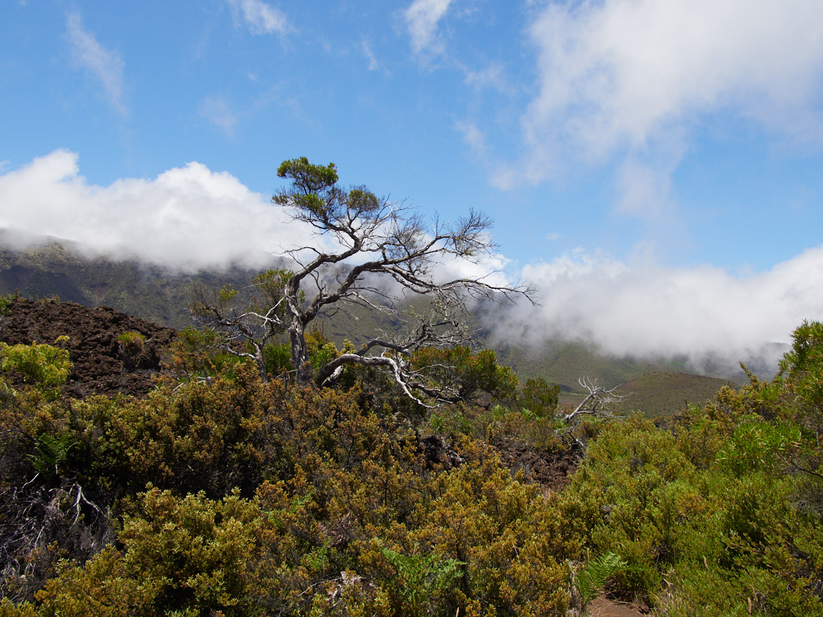
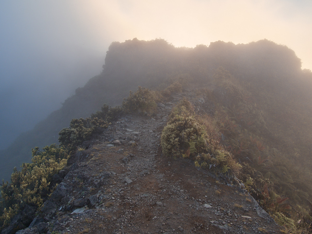
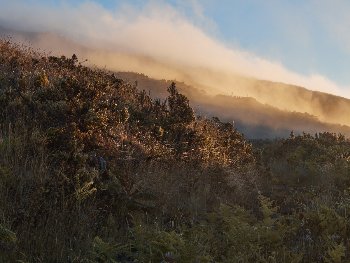
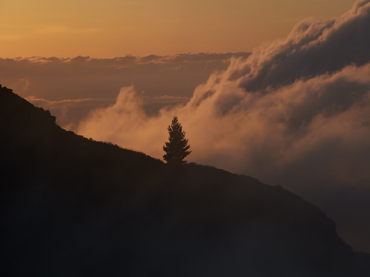
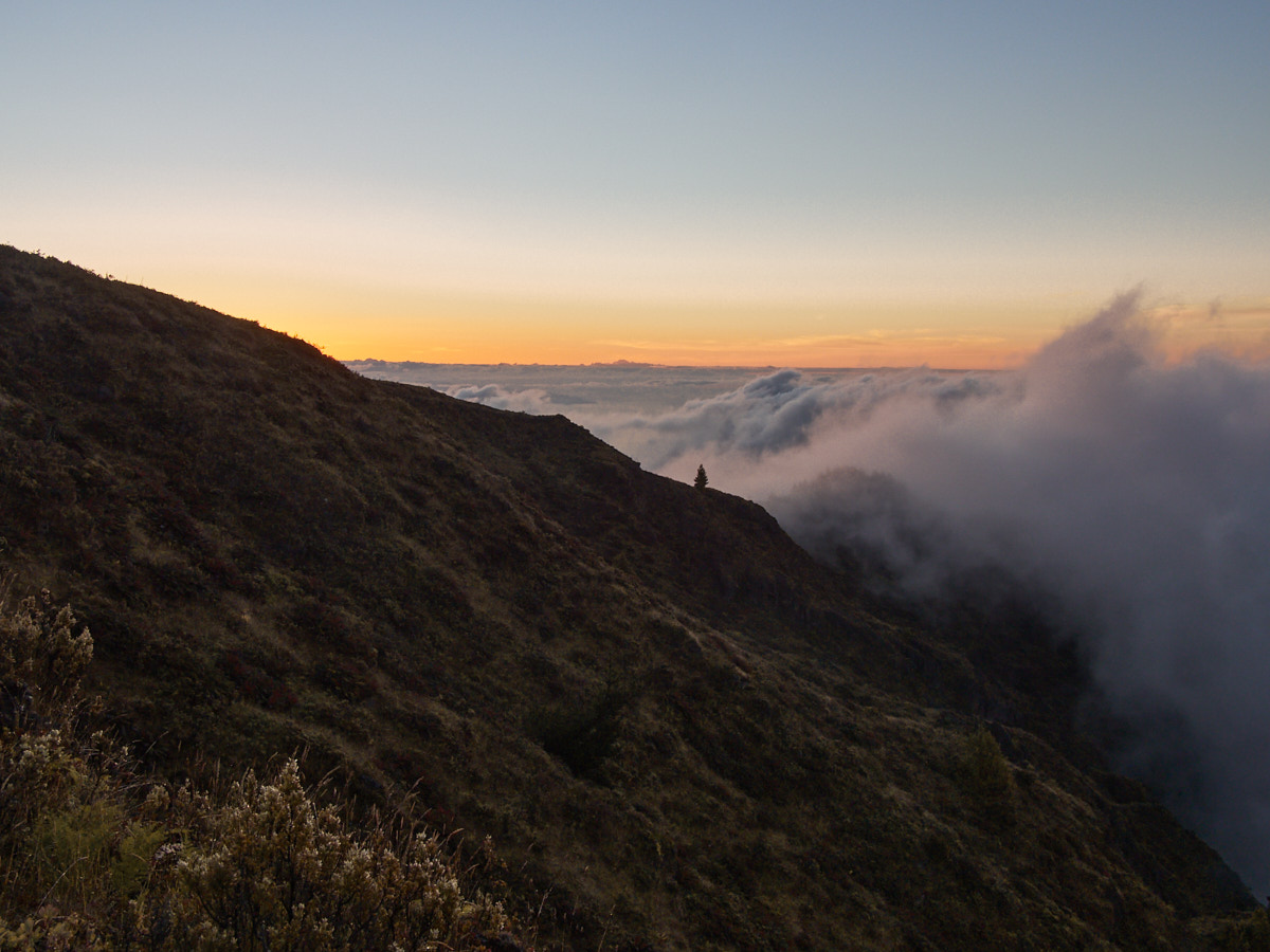
As I started my way up to the Halemauu Trailhead, thick fog and clouds descended, providing shade, but also moisture.
Fortunately though, the heavens did not open too much. I was just climbing through them, in a manner of speaking.
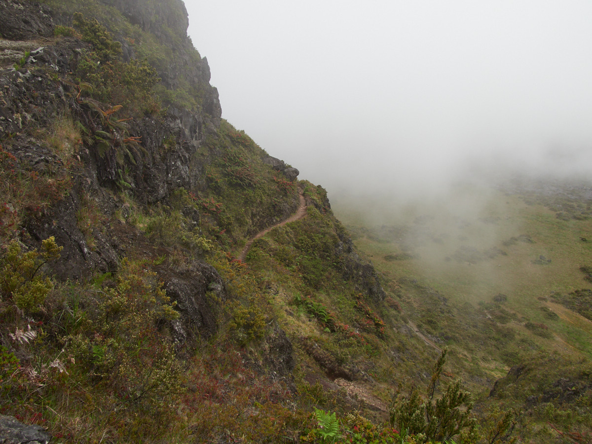
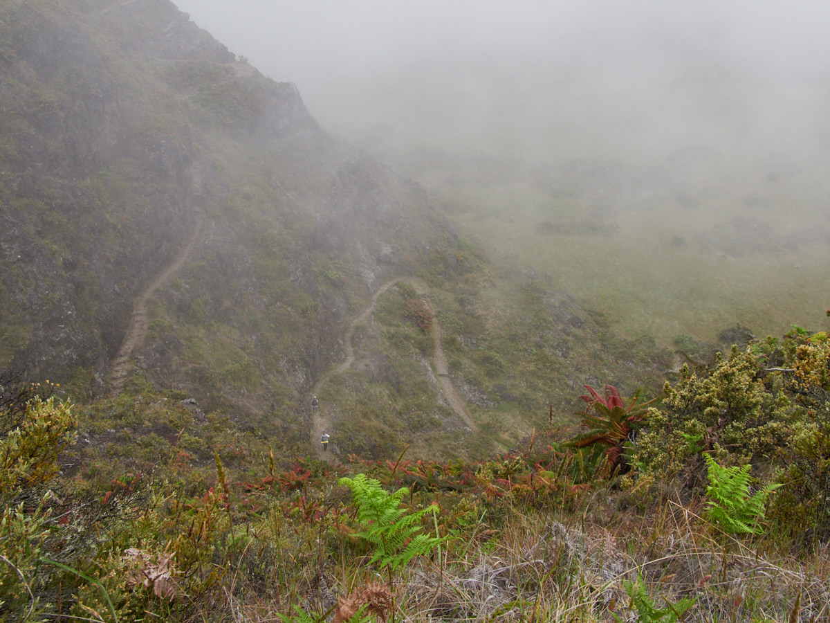
Ascending wasn’t a total breeze, but it had to be much easier than the path I descended. I took it slow & steady, taking pictures as I caught my breath, and drinking more of my precious water.
I passed a few backpackers on their way down, but no one else on their way up. I had taken it slowly enough that if anyone was behind me climbing, they were far behind me.
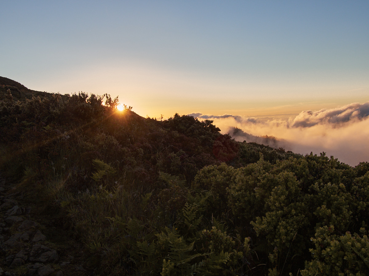
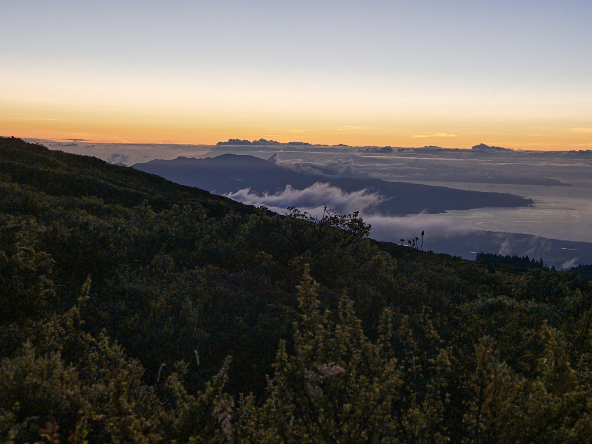
The Sunset
As I continued to climb, the sun started to set.
And so, I started watching the sunset from within the clouds as I traversed closer and closer to my car.
I still had a headlamp, plenty of snacks and layers, and some water in case of any unexpected events.
Shortly thereafter, I made it to my car, exhausted and satisfied. I drove down the mountain and along the Hana Highway, marvelling at the night sky, before I made it to my bed and collapsed into sleep.
This post was part of a series:
Thanks for reading!
If you enjoyed this post, you might enjoy these 5 similar posts:
- 2020-10-24 —Old Logger's Path
- 2022-08-29 —That One Overnight Hike I Did With My Mom
- 2022-03-31 —Ancient Lakes
- 2023-02-24 —My First Hike of 2023 - And My First Time Hiking to Mt. Si
- 2022-04-03 —Quoth The Corvid, Yellowstone