In the Land of the Nisg̱a’a (On the Wrong Day of the Week)

✍️ 🕑 • Series: Towards the Beautiful Islands • Tags: lakesriverswaterfallsvolcanosvolcanic rockdead endstotem poles • Places: Nisg̱a’a Memorial Lava Beds Ging̱olx Gitwinksihlkw

I’m a little worried I’m repeating myself.

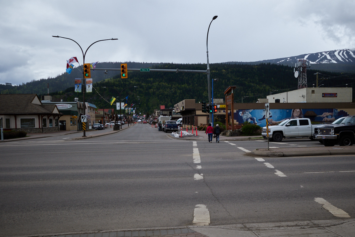
See, I’m about to write yet another post about a long drive on a forest service road in British Columbia. Another post about taking a highway to a dead end terminus past some gorgeous costal mountain views.

And heck, another post where I fail to visit a volcano.

So, if you’re still with me, I promise to mix things up.

I also fail to visit a fish ladder, a museum, and a sacred hot springs.

Two out of four missed opportunities were because it was a Wednesday and not a Monday. (And probably also because it wasn’t quite season yet in early June.)

The absolutely beautiful & absolutely closed Nisg̱a’a Visitor Center -- hang on! I forgot to mention that I fail to visit this one too!
The absolutely beautiful & absolutely closed Nisg̱a’a Visitor Center -- hang on! I forgot to mention that I fail to visit this one too! open_in_full   info

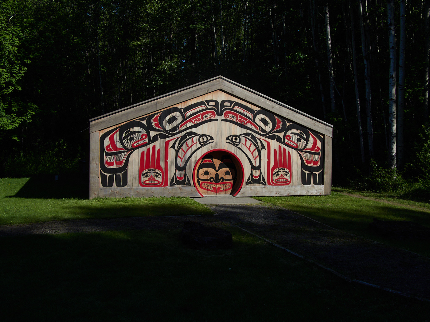
Along the way I eat some pretty good fish and chips, and get to see some spectacular and sacred lava flows. For I am visiting the lands of the Nisg̱a’a on the wrong day of the week.

Stewart, B.C. and Hyder, Alaska: Twin Towns at a Highway's End

✍️ 🕑 • Series: Towards the Beautiful Islands • Tags: dead endsglaciersbearslakesmuseumsState/Provincial ParksNational Historic Parks & 5 More Tags • Places: Gitwangak Battle Hill National Historic Site Bear Glacier Provincial Park Stewart, B.C. Hyder, A.K. Mezadin Lake Provincial Park

I Woke Up Like This
 
Click to load YouTube video.

I awoke earlier than I planned, to a pitter patter of raindrops hitting the outside of my tent.

Sleepless and under-caffienated, I loaded local weather radar on my phone. The rain wouldn’t stop for hours. The nearest town was surrounded by a large, green blob.

After much deliberation, I pulled myself out of my orange sleeping bag, and made myself coffee in the steady, but not too heavy, rain. I packed up my tent and left the campground.

The Babine Mountains were even more shrouded in clouds and rain than they were the day before. It was a tad dreary. It would have been nice to see them more clearly. But, there were plenty of other mountains for me to see that day.

The day’s journey would take me all the way to Alaska and back.

(…and by Alaska, I mean one of the southernmost, most easily accessed parts of the U.S. state. The section that is popular with tourists who want to say they drove to Alaska, without having to actually drive to Anchorage or something.)

Birds, a Broken Arrow, and a Bed of Fossils in the Bulkley Valley

✍️ 🕑 • Series: Towards the Beautiful Islands • Tags: museumsfossilsmountain townsState/Provincial Parksbird photographylakesdreary days & 2 More Tags • Places: Smithers, B.C. Driftwood Canyon Provincial Park Tyhee Lake Provincial Park

I embarked on a four hour drive with Prince George in my rear view mirror. My heart, heavier than expected.

My next stop: Smithers, B.C.

Looking towards Smithers from the highway...

It’s a small town with a good reputation for recreation. Nestled between lakes and the Babine Mountains in the scenic Bulkley Valley, it is definitely the town to visit on the drive from Prince George to Prince Rupert.

So, naturally, I had opted to spend less than a day checking out the area, during a time when the mountains were snow covered and surrounded by clouds. 😓

Can’t win ’em all.