In the Land of the Nisg̱a’a (On the Wrong Day of the Week)
✍️ • 🕑 • Series: Towards the Beautiful Islands • Tags: lakes • rivers • waterfalls • volcanos • volcanic rock • dead ends • totem poles • Places: Nisg̱a’a Memorial Lava Beds • Ging̱olx • Gitwinksihlkw
I’m a little worried I’m repeating myself.
See, I’m about to write yet another post about a long drive on a forest service road in British Columbia. Another post about taking a highway to a dead end terminus past some gorgeous costal mountain views.
And heck, another post where I fail to visit a volcano.
So, if you’re still with me, I promise to mix things up.
I also fail to visit a fish ladder, a museum, and a sacred hot springs.
Two out of four missed opportunities were because it was a Wednesday and not a Monday. (And probably also because it wasn’t quite season yet in early June.)
Along the way I eat some pretty good fish and chips, and get to see some spectacular and sacred lava flows. For I am visiting the lands of the Nisg̱a’a on the wrong day of the week.
Morning Escapades
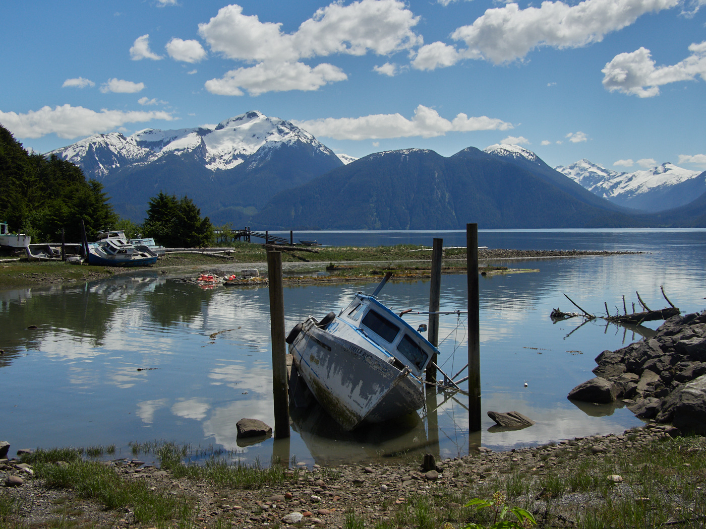
After awakening, I figured I’d try to visit the Mezadin Fish Ladder. The only fish ladder I’ve visited is the one in Seattle and I thought it would be fun to stick another fish ladder in my belt. Obviously, I knew this wasn’t the best idea – May is not the best time of year for fish ladder tourism; the salmon are not yet swimming upstream. But I hadn’t realized what lay in store.
Google Maps had a handy point for the fish ladder, but it led me down some forest roads that seemed to be a First Nations camp construction project, and definitely not a tourist attraction. Maybe I was close to it, maybe I wasn’t, but either way, maybe try and follow some directions from an actual website or something instead.
Did this bode well for my trip from Mezadin Junction down to the Nisg̱a’a Memorial Lava Bed Provincial Park?
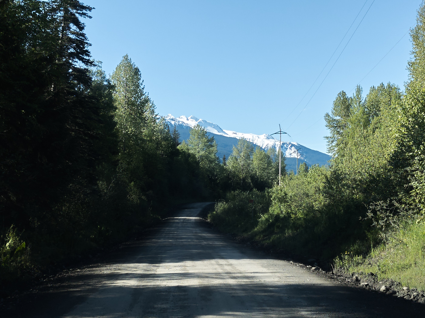
Well, I knew that there were roads that linked me directly there. Google Maps actually indicated that they were a highway, which seemed strange to me, because I didn’t remember passing a highway junction, nor seeing it included on a B.C. Highway map at a rest area.
It turned out that this was another inaccuracy, since corrected. The road was not a highway, but it did link to one. (Curiously, Google failed to indicate that some actual highway sections were highway!)
Instead, I was on the Nass Forest Service Road, one of the best conditioned forest roads I encountered in BC.
Memorial Lava Bed Provincial Park / Auto Tour
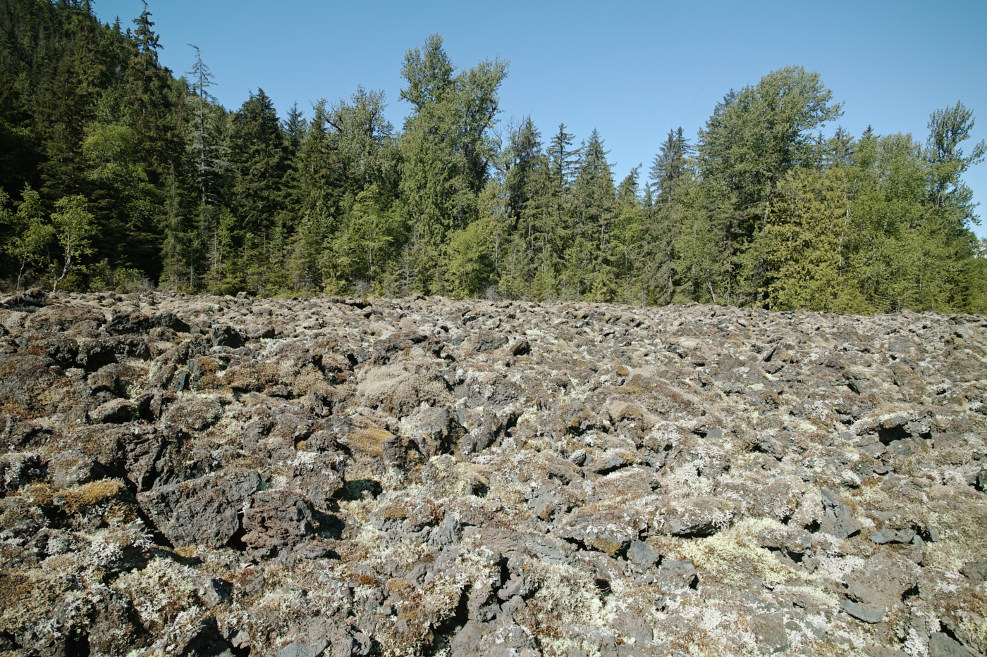
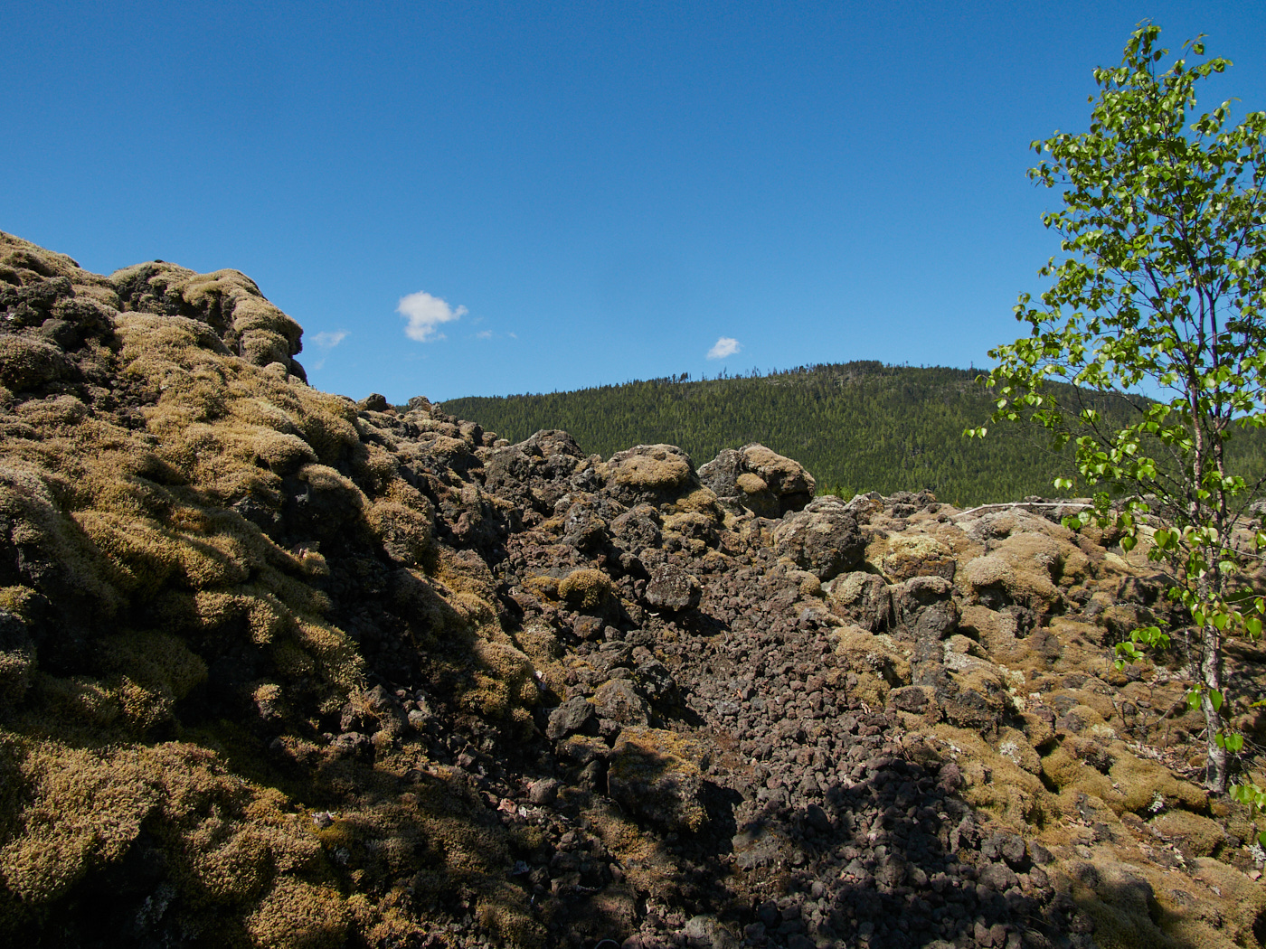
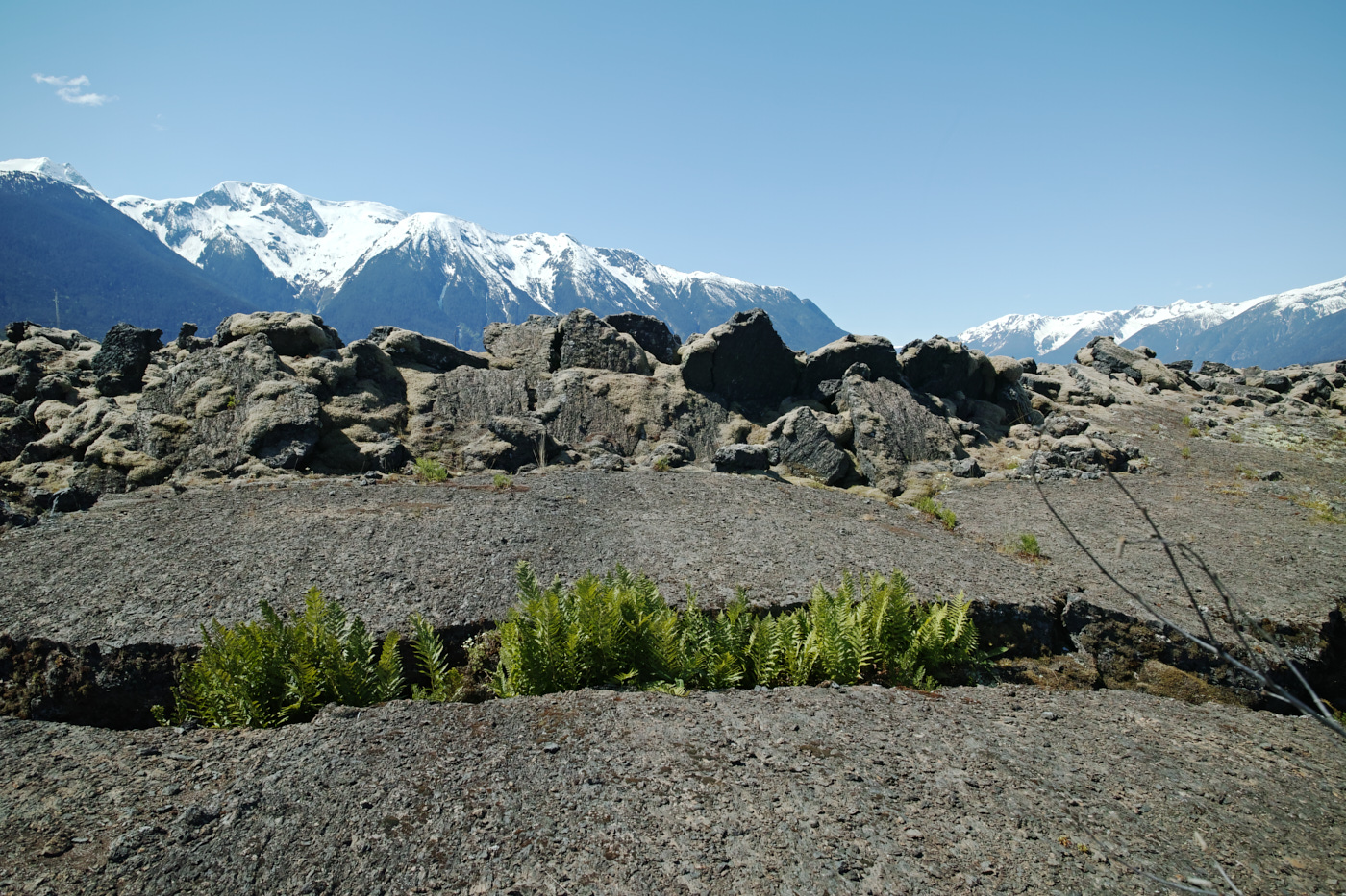
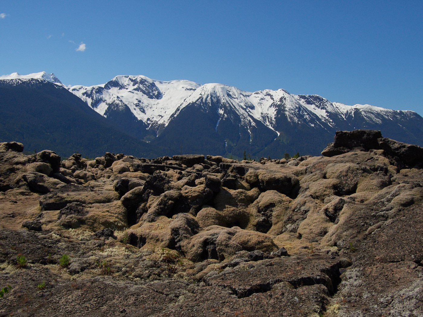
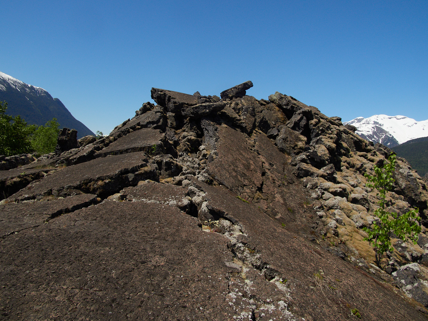
Around the year 1780, the Tseax cone erupted. This is believed to be the most recent volcanic eruption in Canada.
Lava flowed towards the nearby Tseax river, damming it, and engulfed two Nisg̱a’a villages, leaving behind a lava bed up to 40 feet deep. Volcanic gasses and smoke killed about 2,000 people.
The Nisg̱a’a have left the lava flows as they were, as a memorial to the people that they lost and as a testament to the power of nature.
Today, the area is a British Columbia Provincial Park, jointly run by BC Parks and the Nisg̱a’a nation. Signs throughout the park don’t just encourage visitors to leave no trace, but to leave the volcanic stones where they are, for they are the headstones of the ancestors.
Visitor Center (#7)
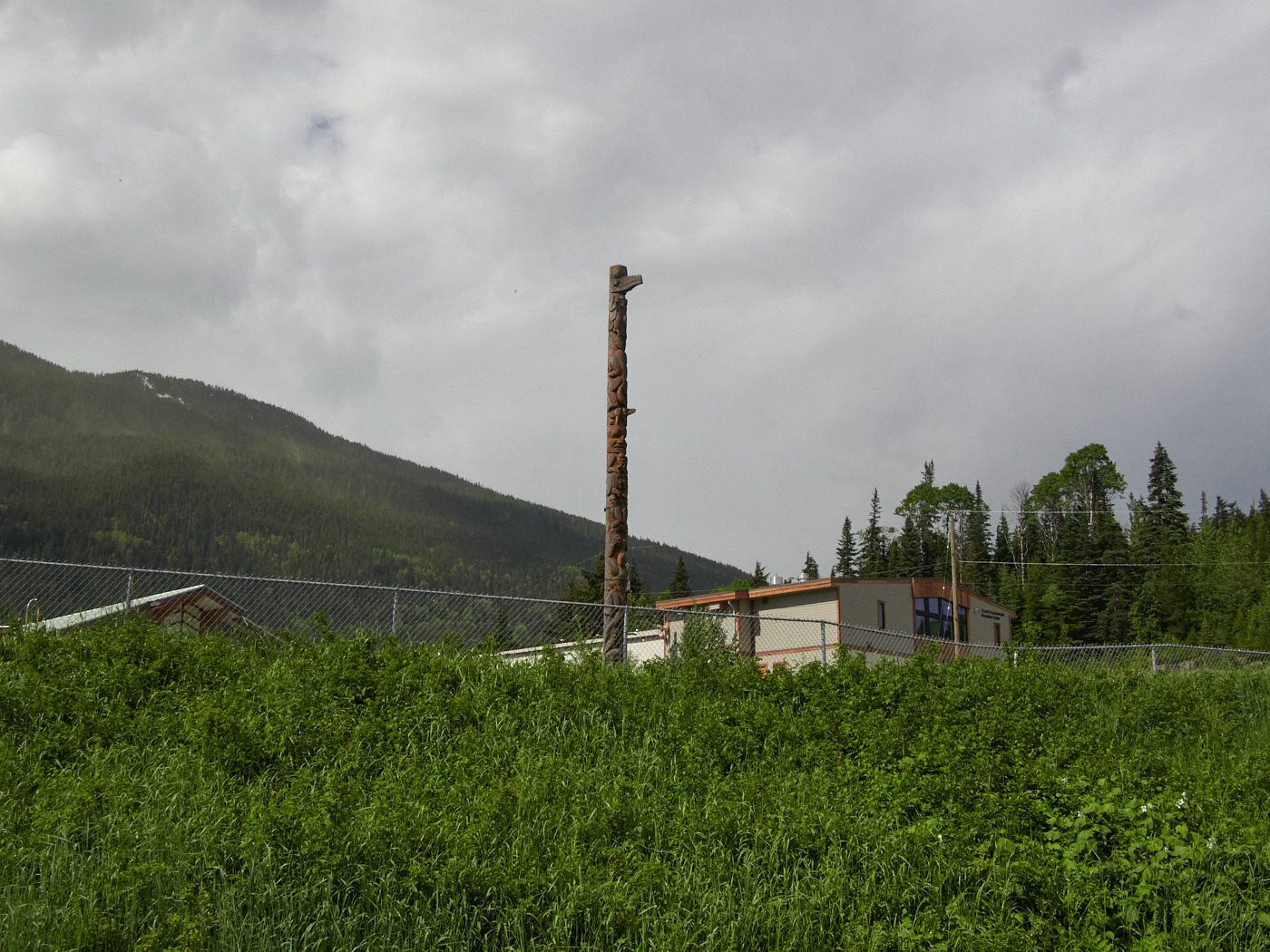
And then I was in lands of the Nisg̱a’a People. More specifically, I had arrived at the Nisg̱a’a Memorial Lava Bed Provincial Park (also known as Anhluut’ukwsim Lax̱mihl Angwinga’asanskwhl Nisg̱a’a.)
I hoped to get there by 10 AM, as according to their website, a paid guided hike to the Volcano left at that time. Unfortunately, the visitor center was closed. It turns out that hikes only leave from the visitor center when it’s open – a fact that didn’t suprise me too much. Since it was a Monday and not a Wednesday – a day when it was known to be open.
With that in mind, I was left navigating the lands of the Nisg̱a’a through a hastily downloaded *.pdf brochure for their Auto Tour.
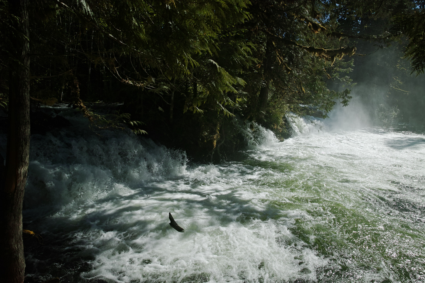
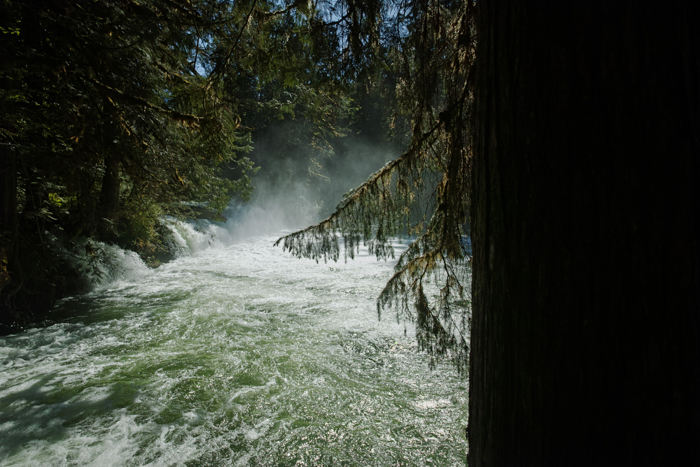
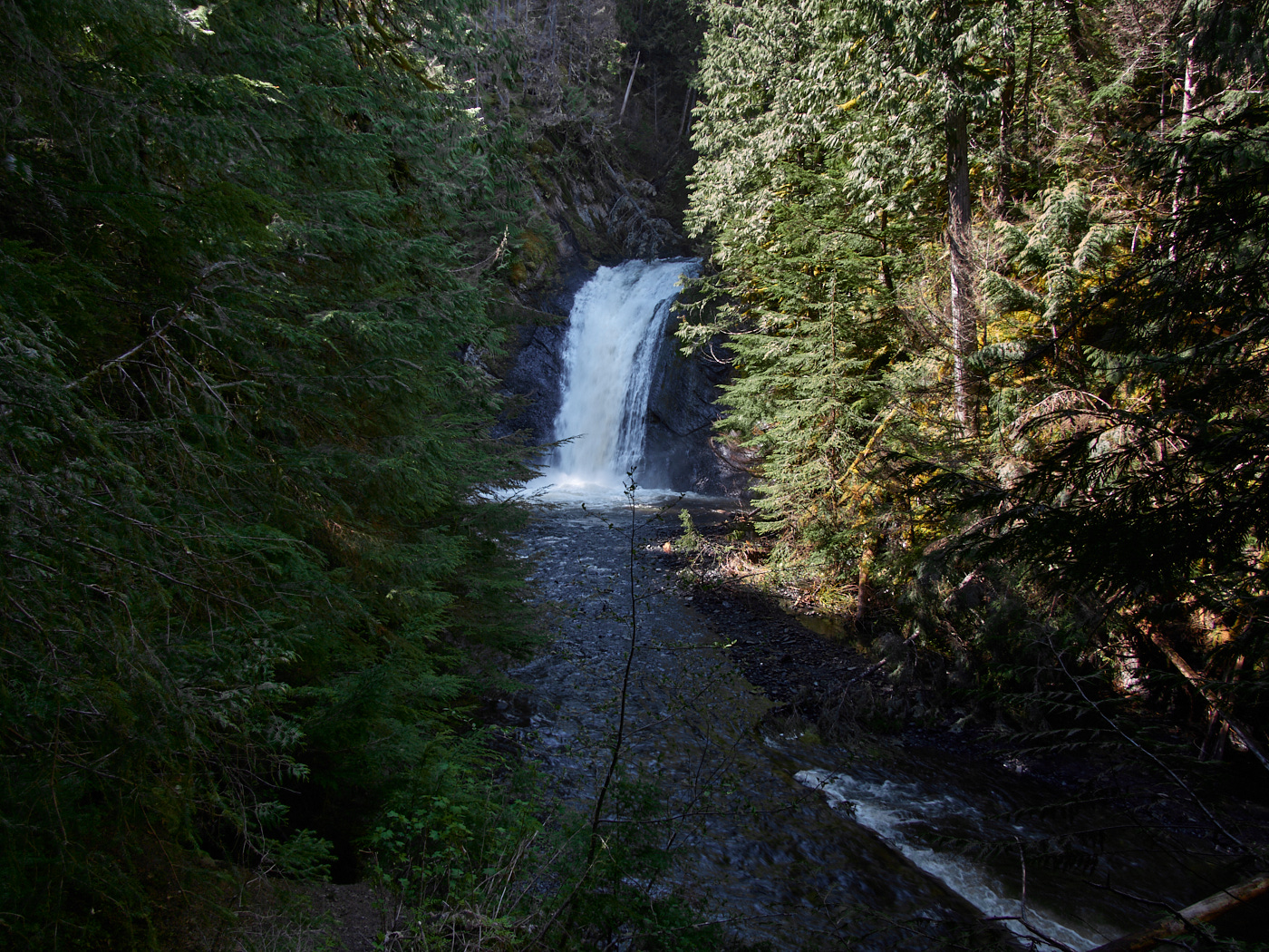
Ts’itksim Aks / Vetter Falls (#6)
High water levels and strong sunlight make the water falls here tough to make out in these pics.
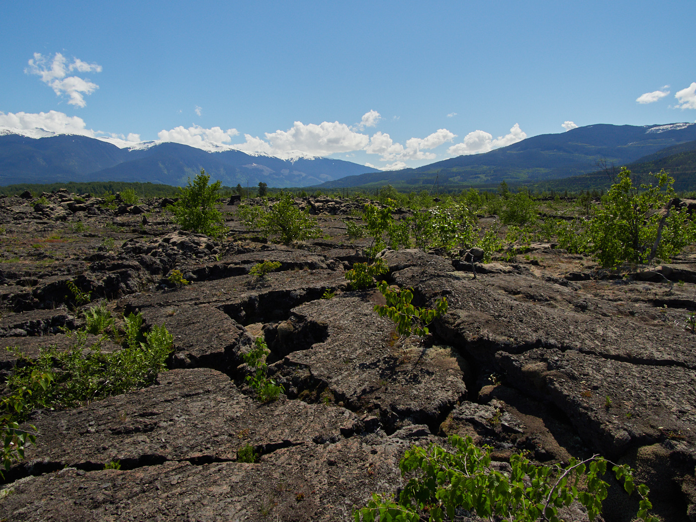
Dihlaa N’ ii-Bax̱hl Aks Sbayt-G̱an/ Drowned Forest (#4)
An area where high water levels sometimes engulf the forest.
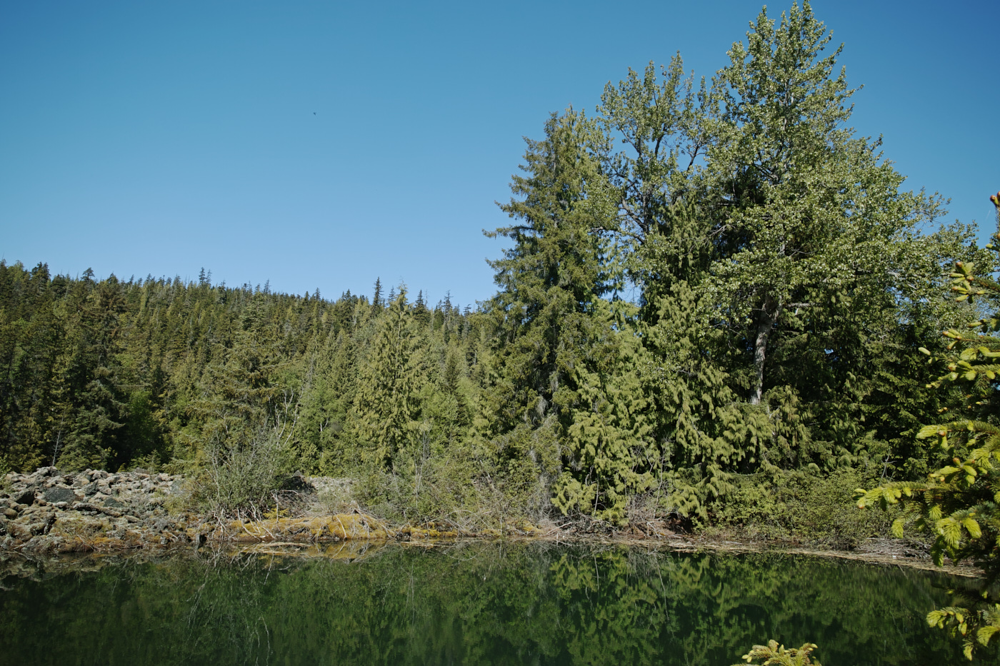
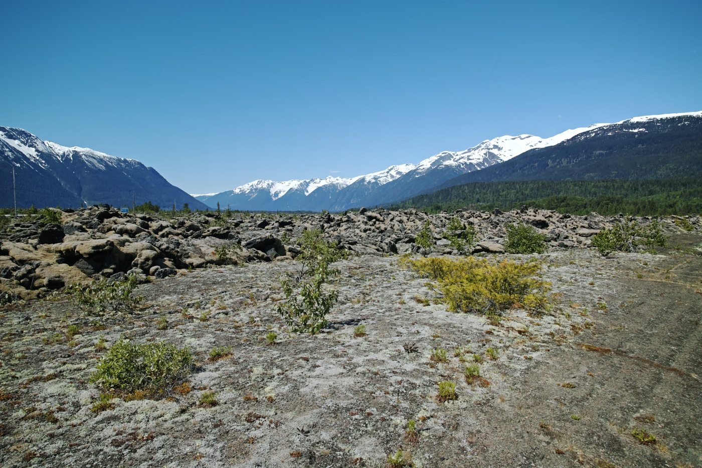
Sii T’ax̱ / Lava Lake (#3)
A lake that formed after the volcanic eruption.
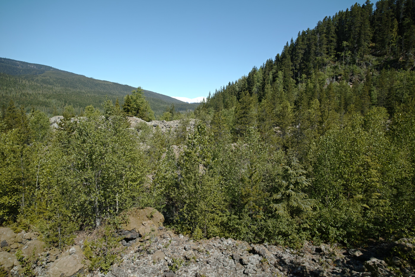
Ksi Wil Ksi-Bax̱hl Mihl / Crater Creek (#2)
A short walk to a viewpoint of a landscape transformed by flowing & flying lava.
Ts’itksim Aks / Beaupre Falls (#5)
This beautiful waterfall marks the southern boundary of Nisg̱a’a lands.
Wil Luu-g̱alksi-mihl G̱an / Tree Molds (#11)
Lava tree molds are formed when lava flows around a tree, and solidifies around it. The tree is burnt inside of the lava, leaving a hole behind.
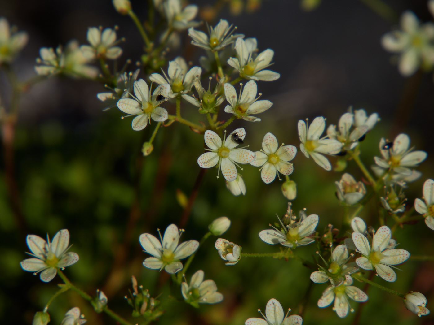
I’m not sure that I actually saw any at this stop, which had a path that seemed to lead to nowhere in particular. There were, however, some nice large cracks in the lava, where plants were growing…
Anhluut’ukwsim Lax̱-mihl / Dedication Site (#13)
The dedication site is where the agreements forming the park were officially conducted in the ’90s, and also is home to some extra crazy volcanic rock.
open_in_full info
Hlgu Isgwit / Hot Springs (#14)
Of the attractions listed in the brochure, perhaps the hot springs was one of the most enticing. Unfortunately, they were surrounded by a closed, locked fence. I pulled off there anyway, as I needed to decide what my next step was.
A schoolbus driver was parked nearby as well and waved at me as I stretched my legs.
He explained that the hot springs were closed because too many outsiders were coming in, filling the parking lot, and drinking alcohol and littering in the area. (This is, of course, extremely offensive since the hot springs is a sacred place to the Nisg̱a’a.)
Local authorities had been planning to turn them into a paid attraction and keep a closer watch on things, but he wasn’t sure why they hadn’t done that yet.
He also asked whether I had visited the museum.
“No, it’s closed today, unfortunately,” I replied. (Yes, because it was a Monday and not a Wednesday – it looks spectacular though.)
And, whether I had been out to the towns.
“Not yet.”
He mentioned that there was a good seafood restaurant in Gingolx.
“Thanks,” I said, and walked back to my car.
I looked at my phone. Gingolx was only 40 or so miles away, it was close to lunch time, and it might be an interesting spot to visit as well. My gas tank was mostly full. So, I hit the road west.
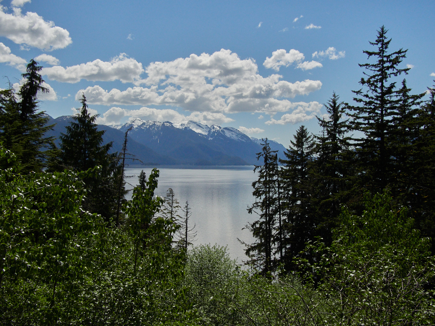
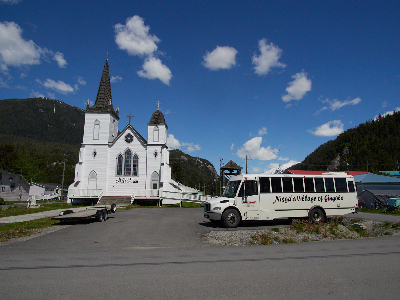
Ging̱olx
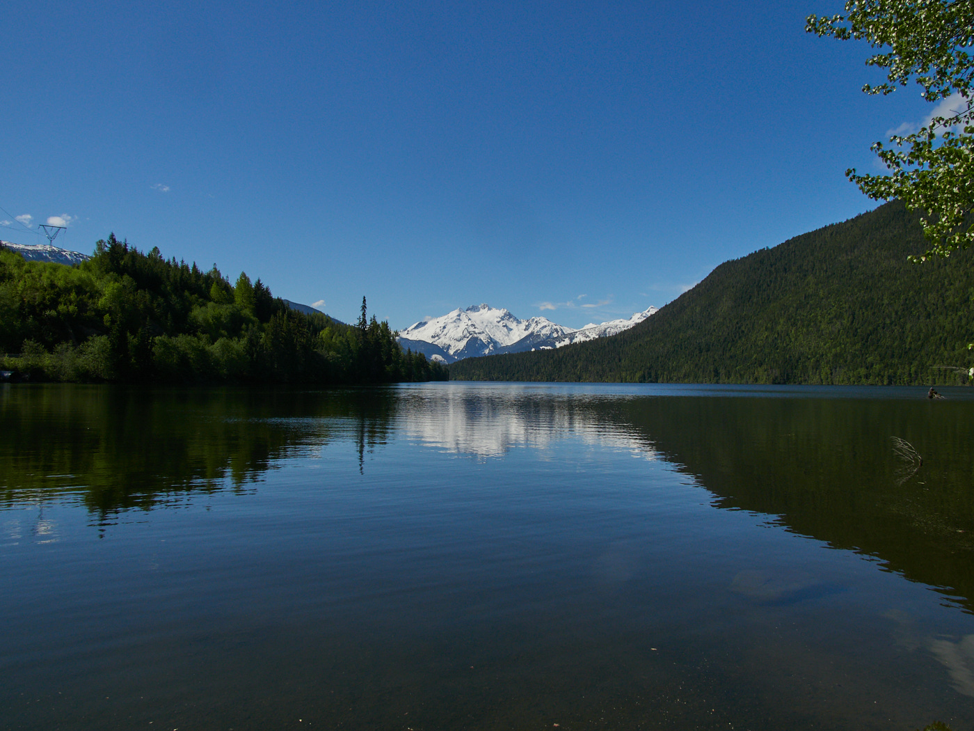
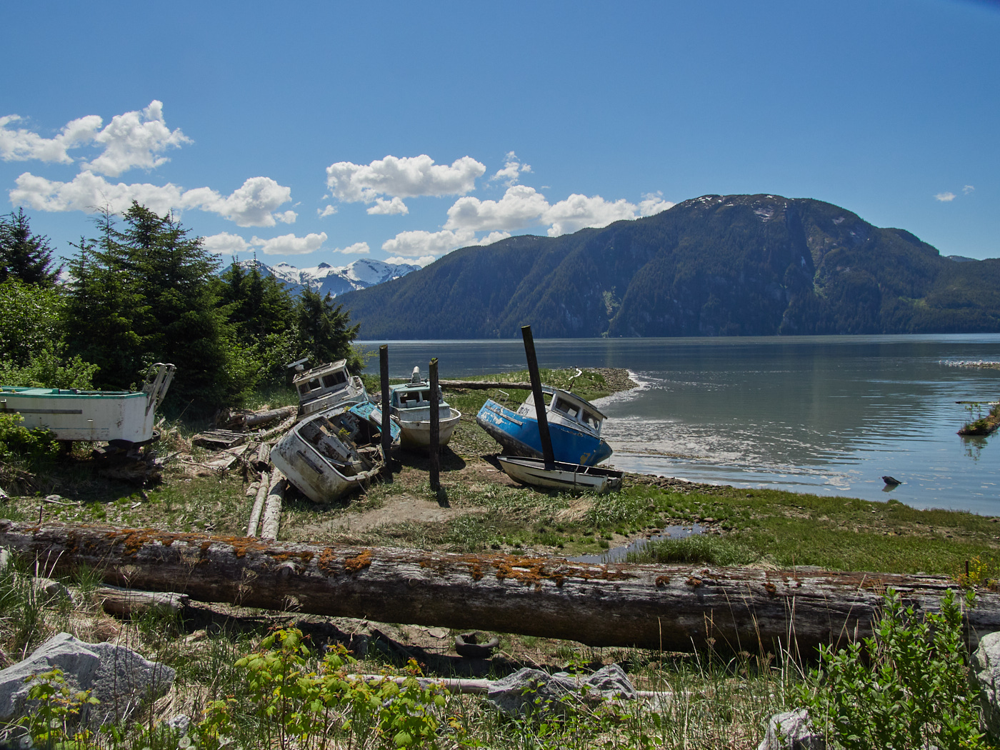
It was a beautiful, beautiful drive to Ging̱olx, the westernmost Nisg̱a’a town. I passed through Laxgats’ap, where the shiny, nice-looking museum was indeed closed, and saw spectacular views of forest, mountain, and ocean
When I arrived, I quickly sought out the fish and chips at a nearby restaurant. I was not disappointed.
The proprieter shared with me stories of his long career in the oil industry in the States and Alberta, before his eventual return here to his original home. Years of hard work made it difficult to stop, and when people asked about a restaurant, he decided to go into business.
He was also near Mt. St. Helens when it erupted, playing ball, and was fortunately safe.
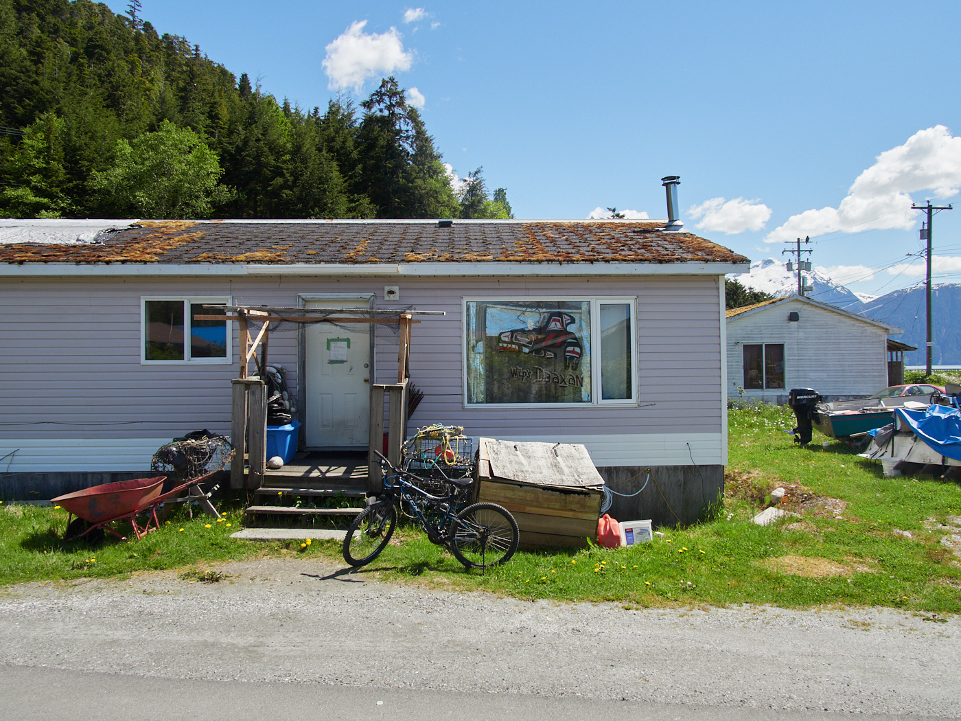
After lunch, I went on a longer walk around town.
Everyone was super friendly, but there wasn’t a whole heck of a lot of shade, and there weren’t too many things to see – but there was a strangely high amount of construction.
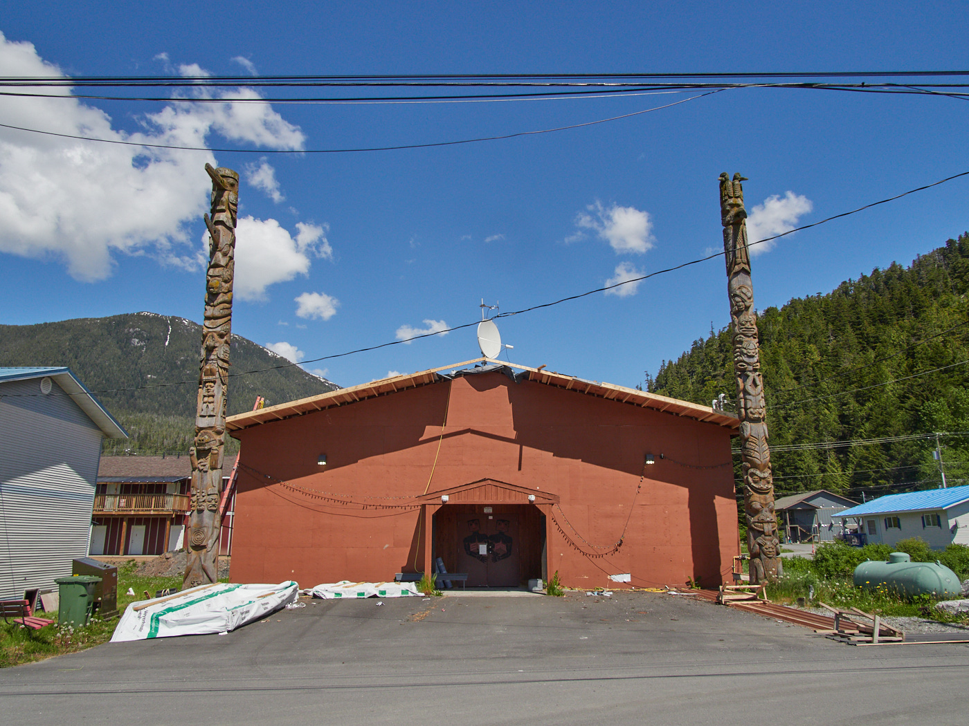
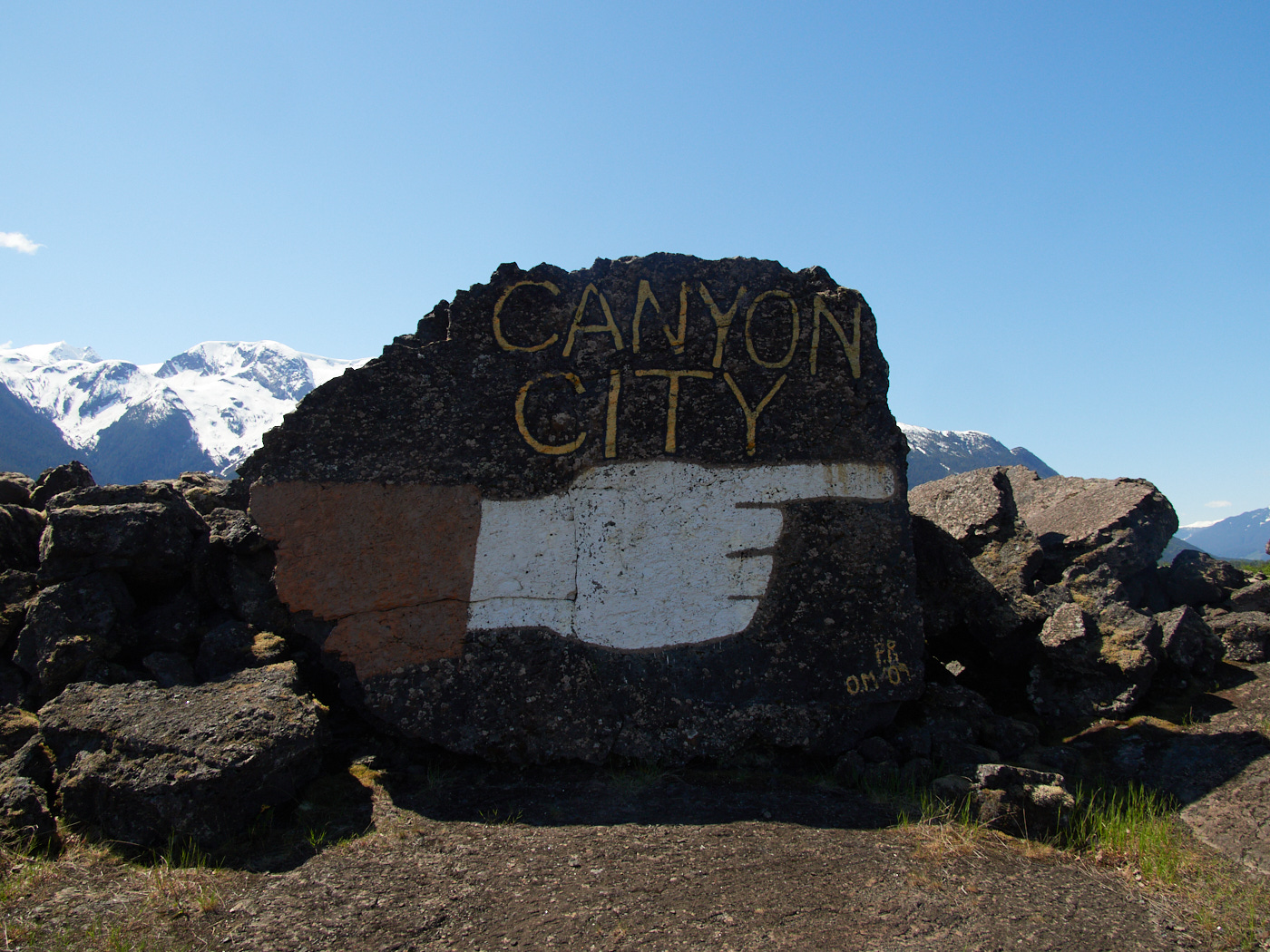
Gitwinksihlkw
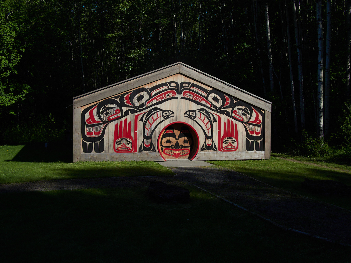
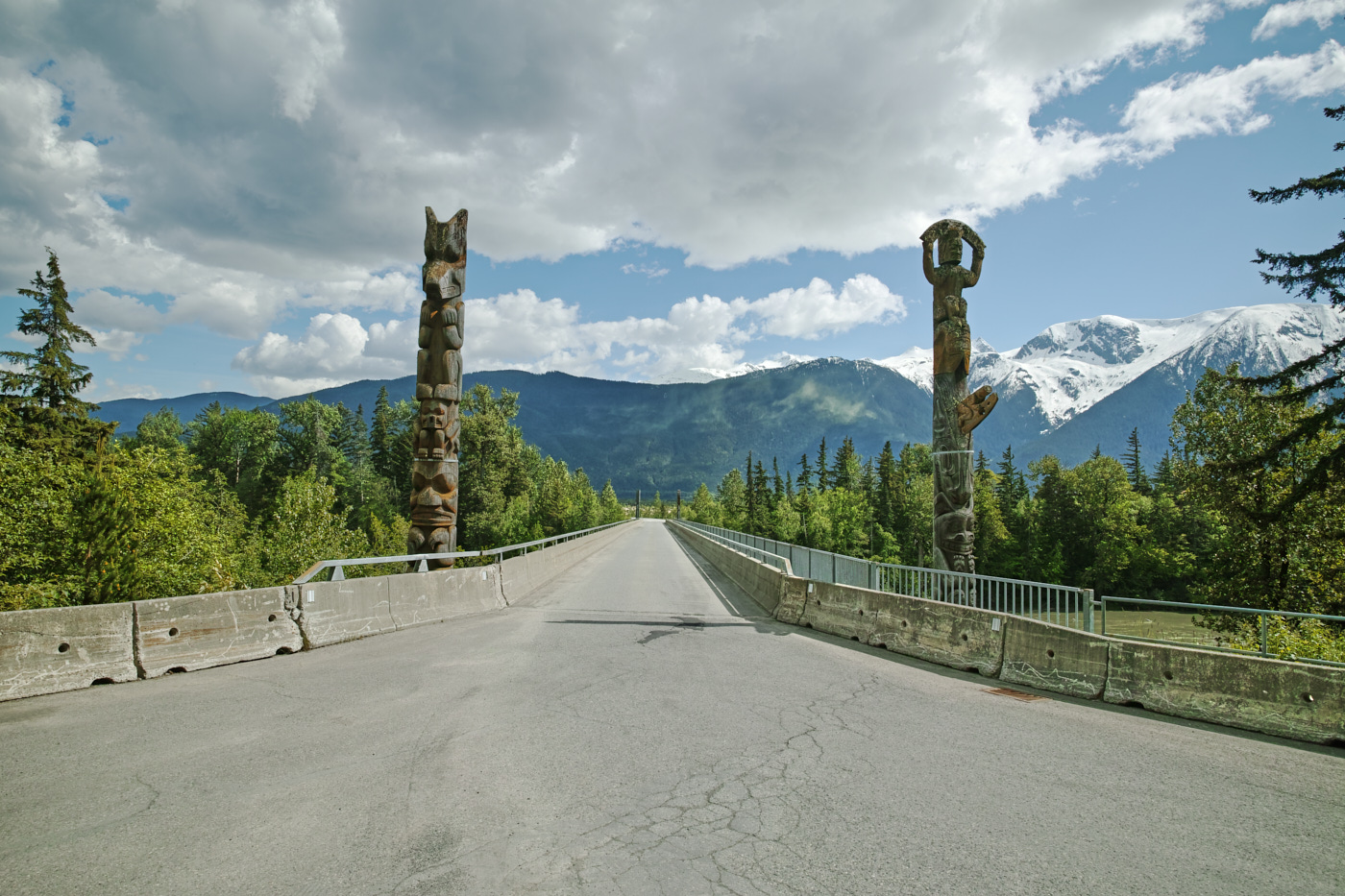
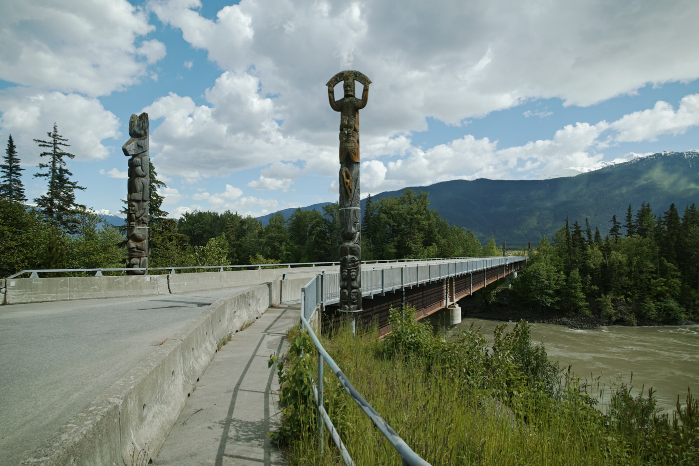
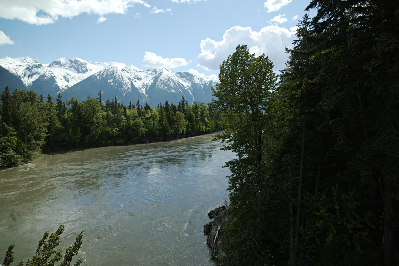
On my way back, I stopped at Gitwinksihlkw, the canyon city, formerly only reachable via foot via bridge. You can see why it took a while for the infrastructure to get here.
I hadn’t been looking at the pdf closely, and I missed visiting the suspension bridge that this town is famed for. I did, however, enjoy the enterance bridge which couples gorgeous river views with impressive pole carving.
With that out of the way, I drove the real BC-113 to its conclusion, rejoining the Yellowhead Highway in Terrace, B.C., where I had an Airbnb booked.
I was about to put in a few more days’ work.
This post was part of a series:
Thanks for reading!
If you enjoyed this post, you might enjoy these 5 similar posts:
- 2022-10-10 —Stewart, B.C. and Hyder, Alaska: Twin Towns at a Highway's End
- 2022-09-09 —Dead-End Detour
- 2022-09-12 —A Great Day at Wells Gray!
- 2022-10-16 —Torpid in Terrace
- 2023-12-26 —A Weekend 'Round Mt. St. Helens