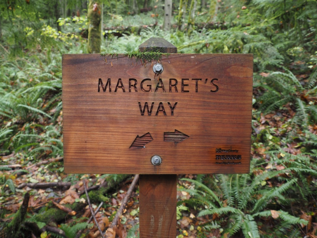
From Margaret's Way To Debbie's View
✍️ • 🕑 • Tags: Issaquah Foothills • pnw forest • pnw hikes • Places: Margaret's Way Trailhead
What can I do sometimes, but venture out of city limits towards the most popular trail in one of the nearest natural parks?
In my defense, the weather forecast called for clear skies in a time when my soul expected only rain, and while I knew I wanted to get out, I also knew that I was not necessarily in the mood to go super far.
Like most trails in the area (I imagine), it’s mostly uphill in one direction, but the slope is gentler than, say, Dirty Harry’s peak. And, the elevation is lower too.
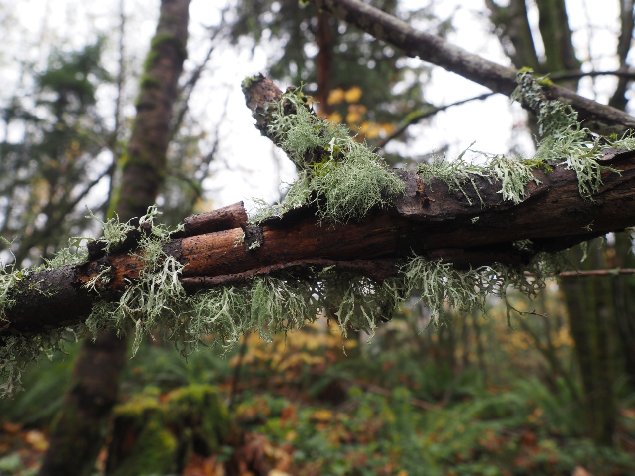
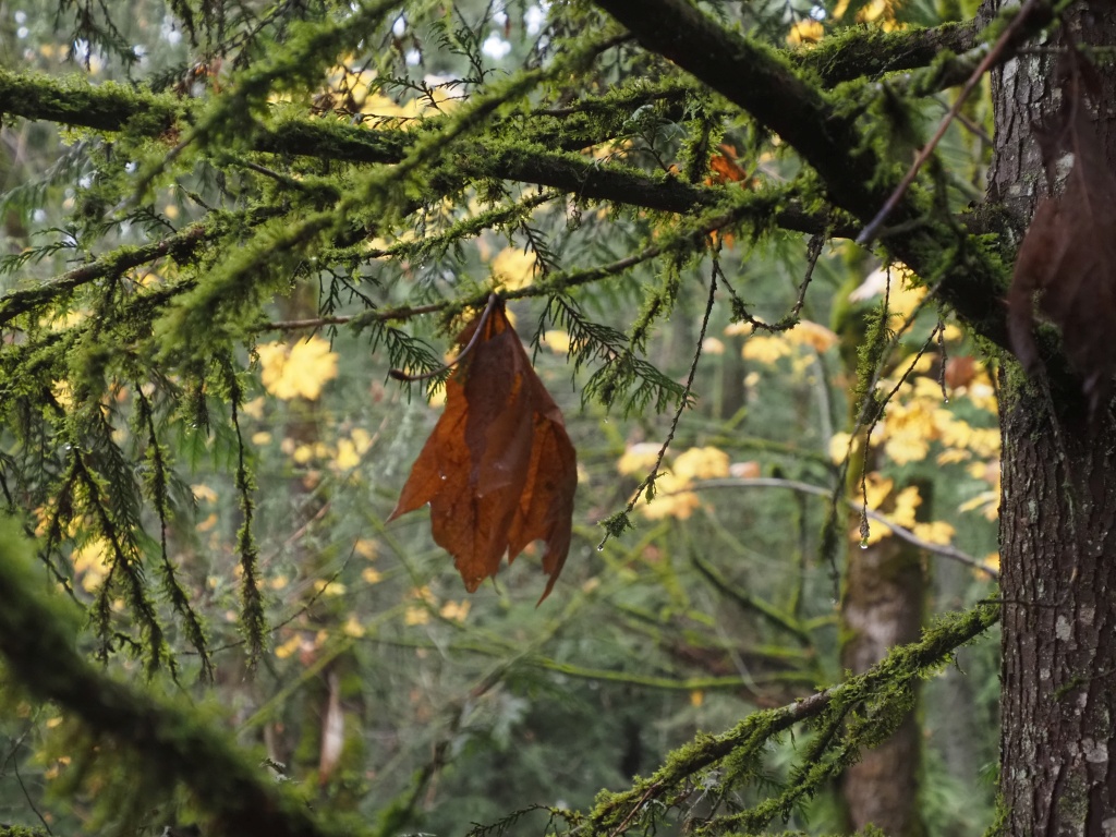
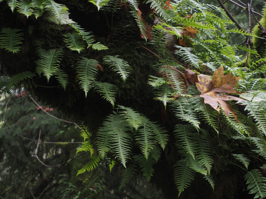
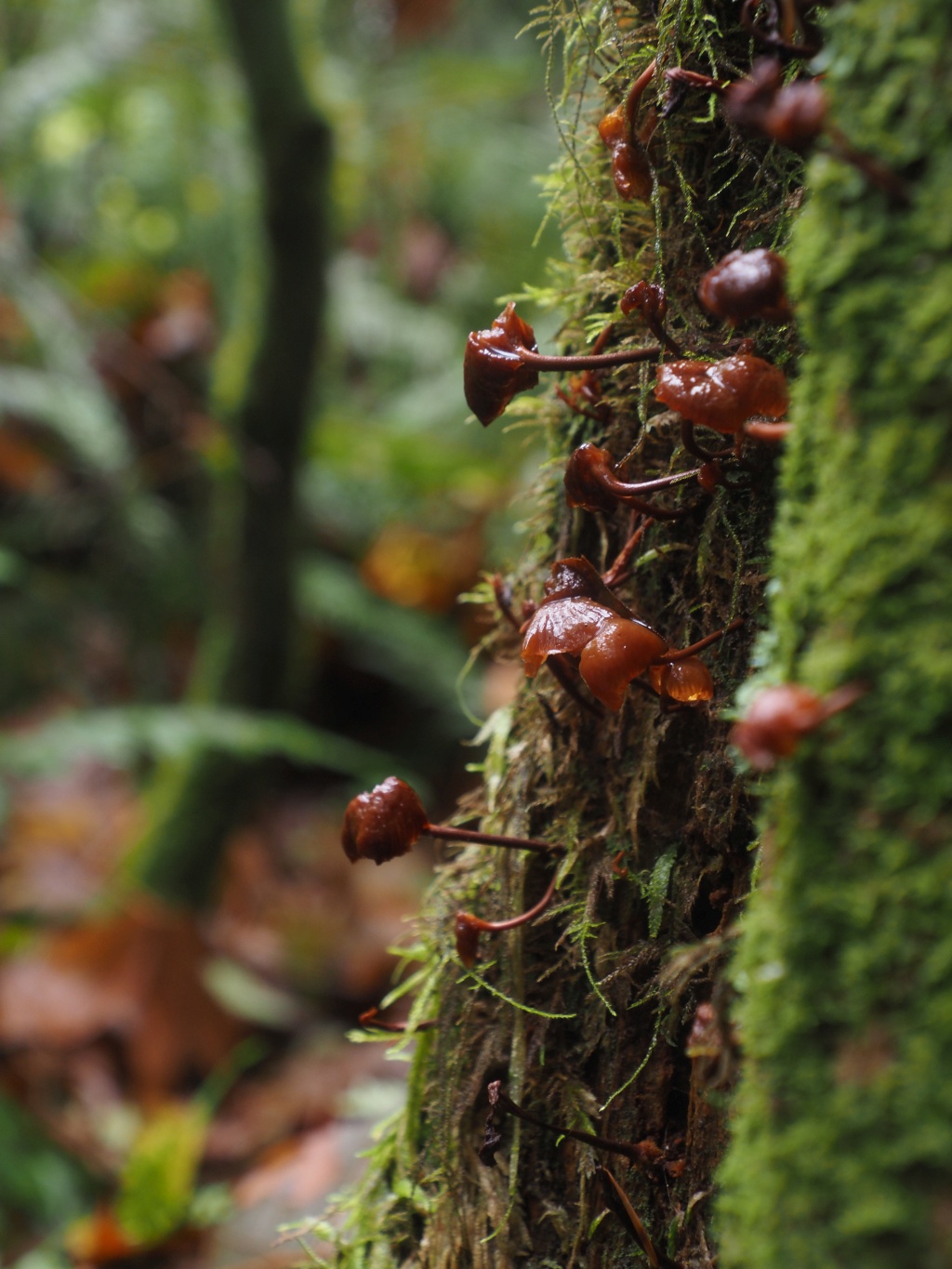
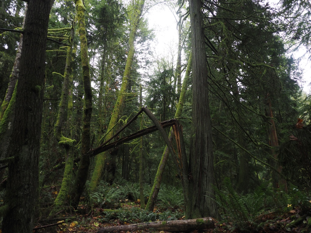
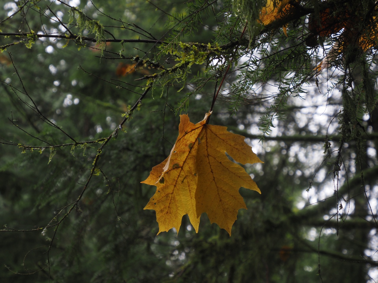
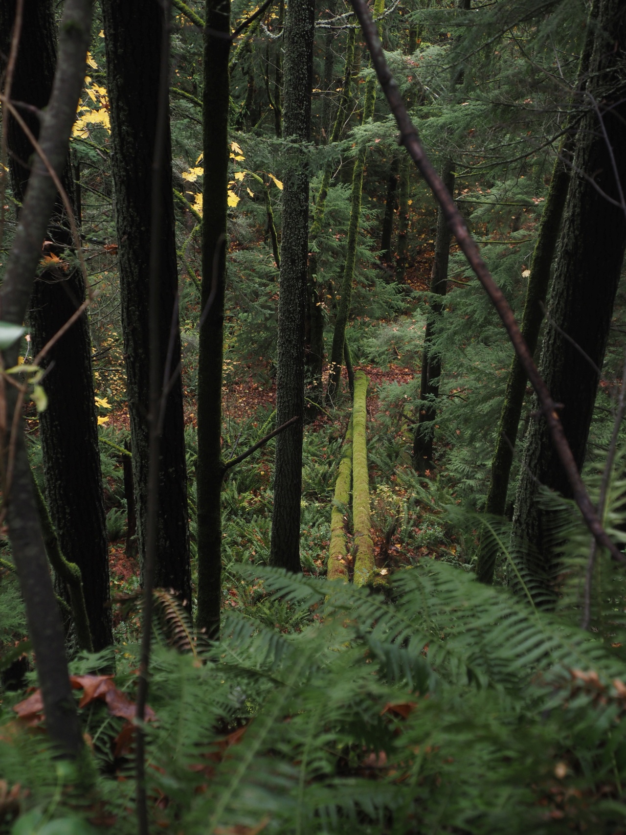
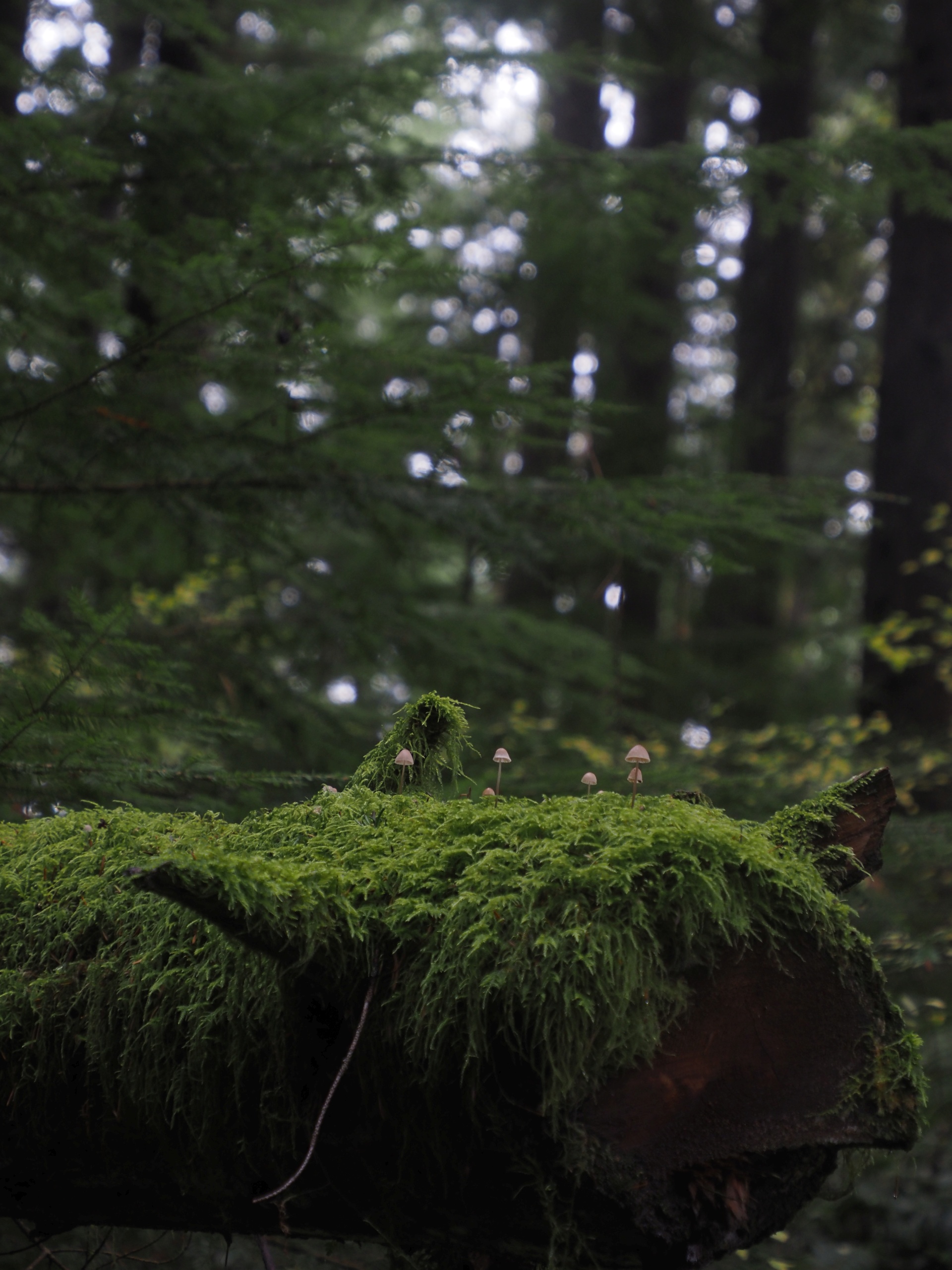
This meant that I got to spend more time in one of my favorite environments: the forest. And in particular, I think that forests in the Pacific Northwest are amongst the most beautiful places on the planet. The sheen of fog and gray skies juxtaposed with lush, lush moss clinging to downed trees, verdant fungus, and the infamous Douglas Firs are the things that dreamscapes are made of.
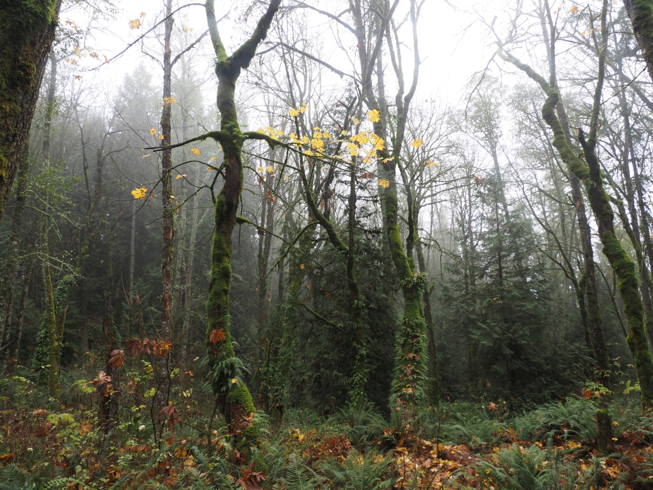
On this particular Saturday in November, the trail was popular. Despite an overfilled parking lot at the trailhead, though, it didn’t feel too overcrowded, as I occasionally ambled past couples and dogs and runners on my way uphill.
| Trail Information | ||
|---|---|---|
| Name | Margaret's Way | |
| Type | point-to-point | |
| Location | Cougar Mountain Regional Wildlife Park | |
| State | WA | |
| Country | USA | |
| Miles | 3.25 | |
| Elevation | 1730ft | |
| Gain | 1500ft | |
| Check out the trails index for information on more trails! | ||
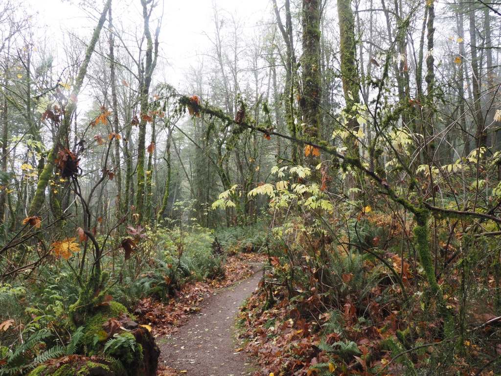
Certainly, the trail was clear, easy to follow, and oft traversed.
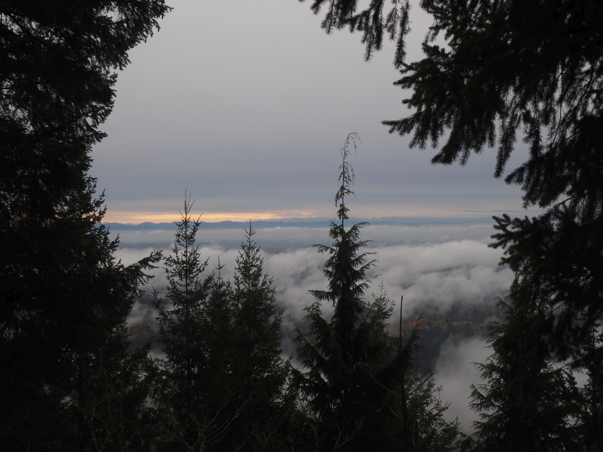
There are a few very nice viewpoints, though the one labelled “Debbie’s View” near the end of “Margaret’s Way” is certainly the nicest.

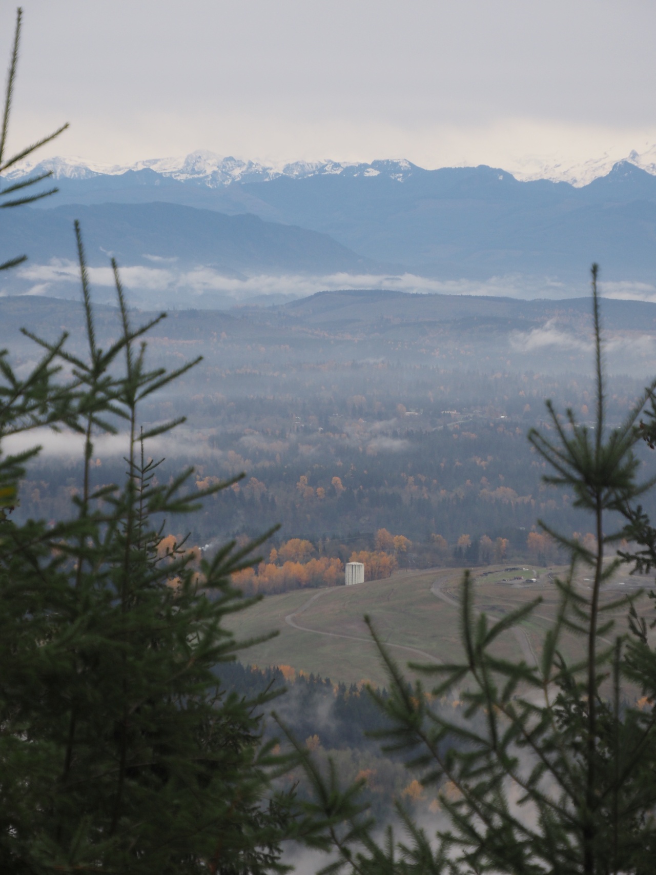
As I hung out at Debbie’s View, peering at mountains and valleys through the thick grey cloud cover, the glints of sunlight almost resembled a setting sun.
I decided to continue onwards, taking an extra little rugged loop between part of the Perimeter Loop Trail and the West Peak Trail. (I would have liked to have stopped by the very close-by Bullit Fireplace as well, but I’ll leave that for another day.)
My extra loop was significantly more rugged than Margaret’s Way, with taller vegetation, steeper, rougher slopes and a couple of stream crossings.
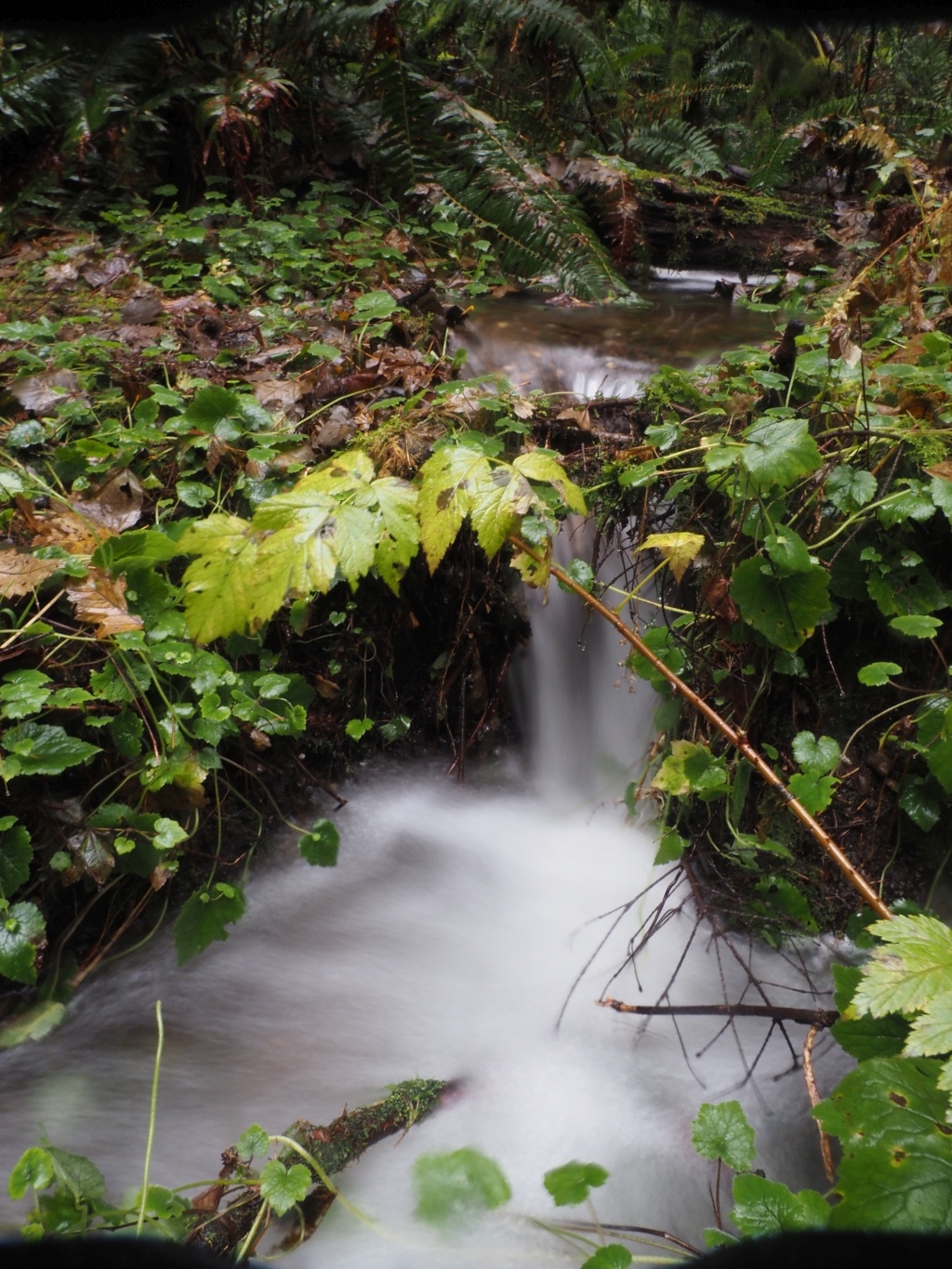
There wasn’t much to see, but it was nice to take a brief detour down a less well-trodden path. Curiously, though, there were still about six or eight other hikers on the Perimeter Loop, so even though it was rough, it certainly still patronized.
As I continued back to the car, I noticed the cloud cover thicken. The heavens opened, and graced me with a soft drizzle. In thicker forested areas, it felt almost like dusk, like night was about to fall.
I checked the time, and it was maybe 4PM, so I surely had nothing to worry about.
(Definitely nothing.)
I wasn’t planning on cutting it close, just on timing things so I could pick up a couple of pizza slices from Blotto on my way home…
And, as I continued downwards, I didn’t per se regret my little extra loop – I knew I had enough time to grab a slice – but, I did look up the sunset time, and was a little surprised that it was ten minutes in the past.
Yes, the sun sets at 4:30 PM in Seattle in November, and thou shalt not neglect bringing your headlamp with you in the future, Steve!
When I got to my car, it was one of two remaining in the crowded parking area, and the last vestiges of daylight were vanishing. I got on the interstate, westbound.
Half an hour later, I was perfectly on time to collect three slices of pizza.
Apparently, I managed to work up an appetite.
Thanks for reading!
If you enjoyed this post, you might enjoy these 5 similar posts:
- 2022-12-21 —May Valley Loop to Central Peak & Bullit Fireplace
- 2021-12-12 —A Soggy Walk Up A Dirty, Harry Trail
- 2020-10-24 —Old Logger's Path
- 2022-09-12 —A Great Day at Wells Gray!
- 2022-09-02 —A Taste of Paradise at Mt. Rainier National Park